
Playa Caracol
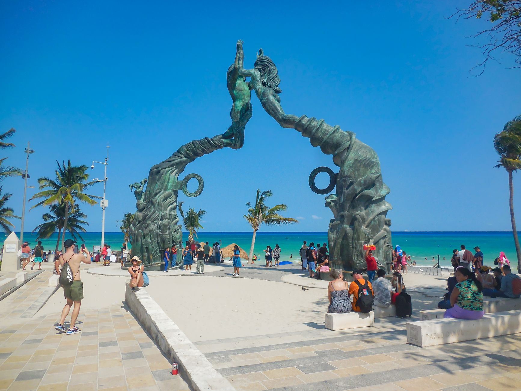
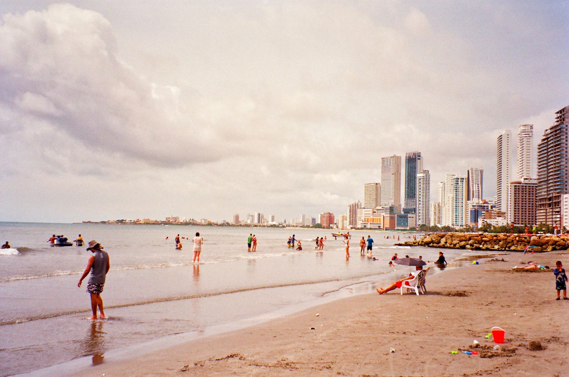
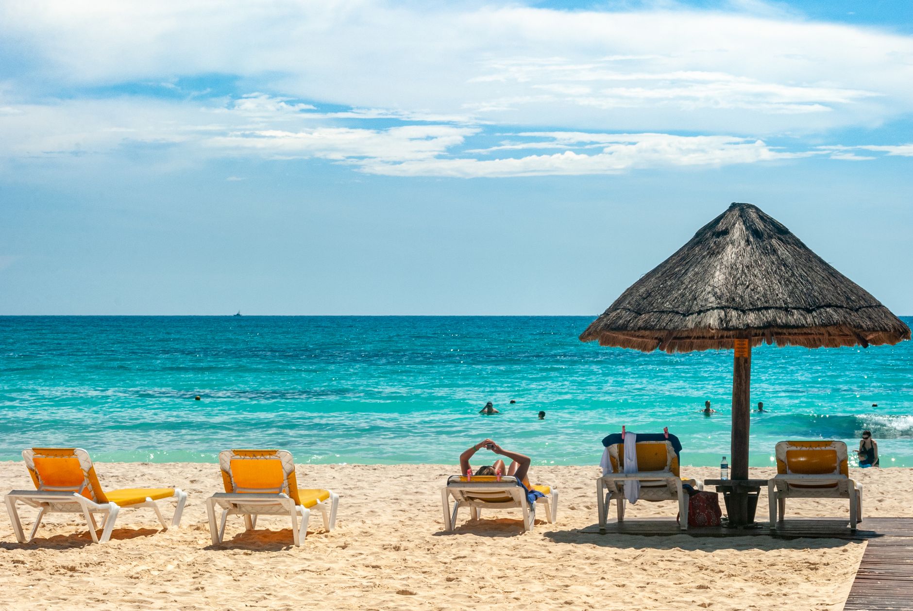
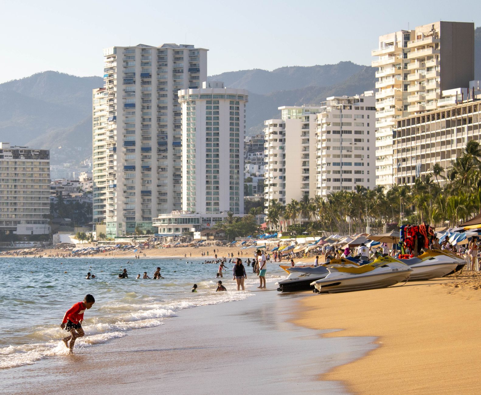
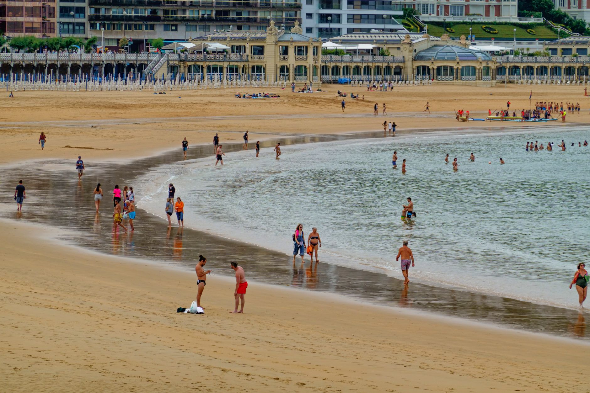
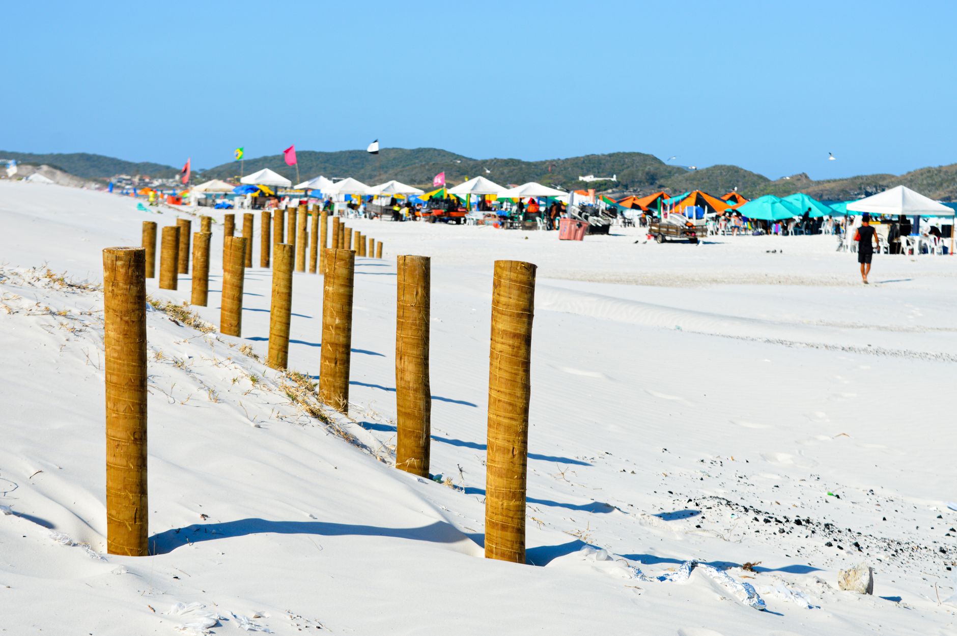
The name means snail beach, and the rocky ledge at the water's edge makes good on that — hermit crabs pick their way through tide pools while ferries to Isla Mujeres idle at the dock just metres away. Playa Caracol sits at kilometre 9 of Bulevar Kukulcán, a compact 800-metre strip of fine sand wedged between two piers on the northern end of the Hotel Zone.
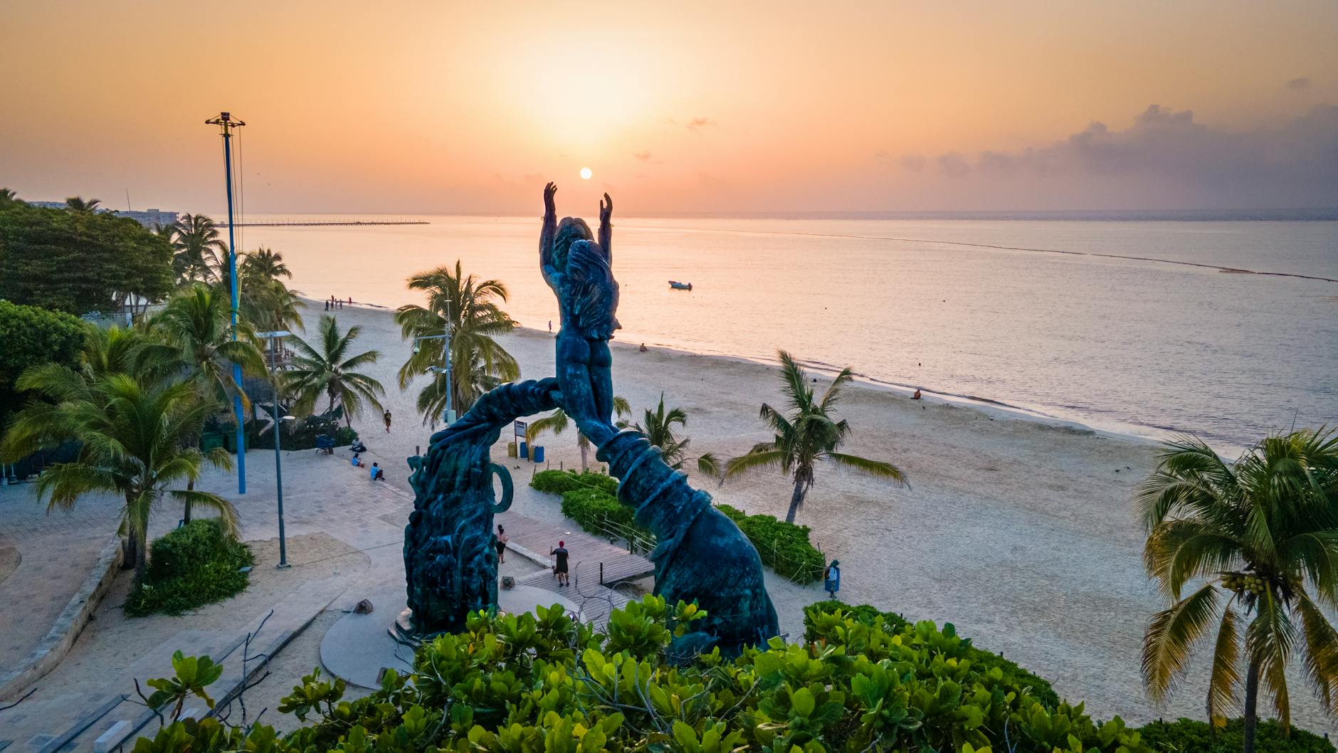
It is not the grandest stretch of Caribbean coastline in Cancún — most of that is claimed by hotels — but the northern position keeps sargassum lighter than at beaches further south, and the orientation puts you directly in front of sunsets that turn the water orange well before the sky catches up.
💛 What travellers fall for
People who come back tend to arrive late afternoon, grab a chair through the government cabin, and stay for the light. The short walk under the pier is worth it on any day, even in summer — the sand there stays cleaner than you'd expect. OXXO and Chedraui are one block away if you'd rather bring your own drinks.
Deals in Playa Caracol
Book directly at the provider

How Playa Caracol came to be
No documented founding date or development history exists for Playa Caracol specifically. Its identity is largely shaped by geography: the Ultramar ferry terminal built alongside it made the beach a transit point as much as a destination, drawing day-trippers heading to Isla Mujeres who stay long enough to swim.
During certain months the beach becomes a nesting ground for sea turtles — a reminder that before the Hotel Zone was built out, this coastline belonged to a different kind of traffic entirely.
Who and what shaped it
Landmark buildings
See Playa Caracol in motion
Plan your visit
On the map
When to go
November through April brings the clearest skies, lower humidity, and cool evenings — the most comfortable window for a long afternoon on the sand. May to October is hotter and wetter, with short intense afternoon showers that usually pass within an hour or two; hurricane risk runs June to November, peaking August through October.
Right now
Background & history adapted from Wikipedia (CC BY-SA) · specs from Wikidata (CC0) · weather from Open-Meteo · map data © OpenStreetMap contributors · photos from Wikimedia Commons / Unsplash with per-image credit. No third-party reviews or social posts reproduced.