
Punta Nizuc

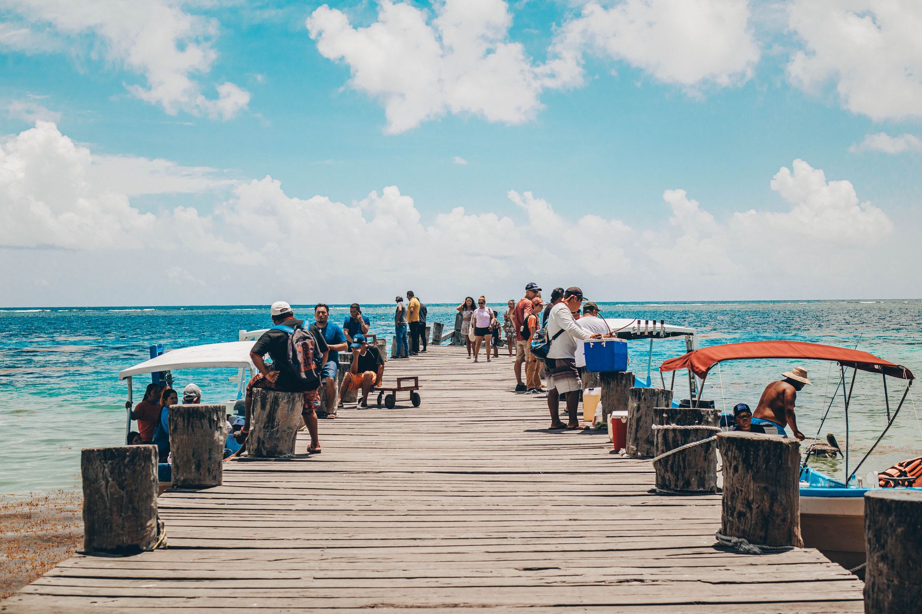
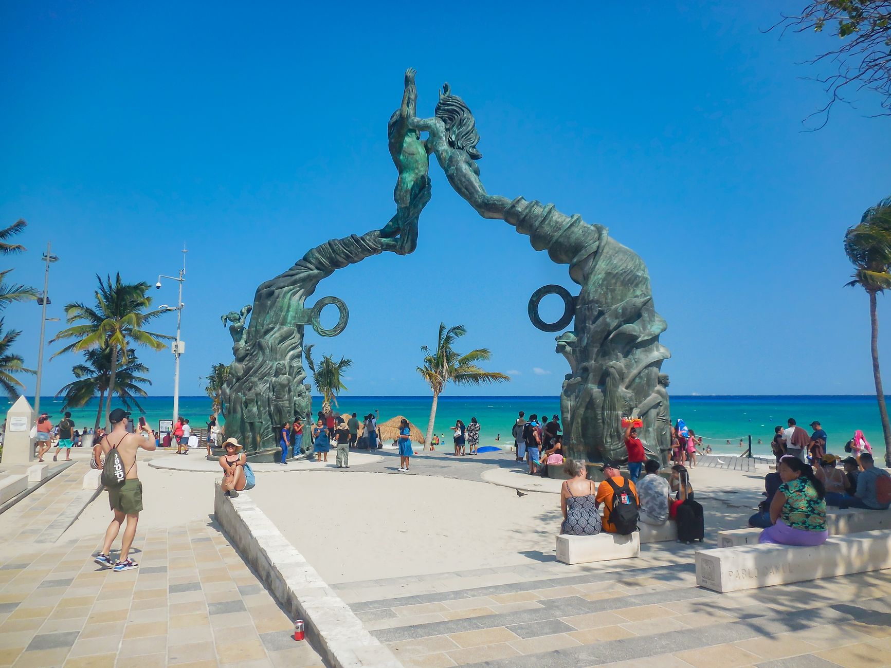
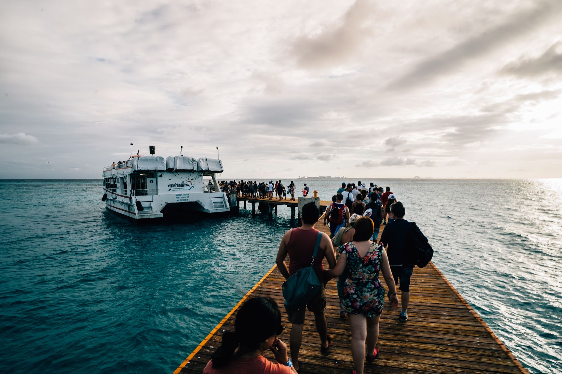
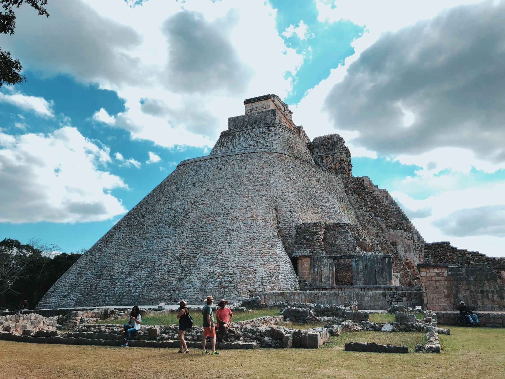
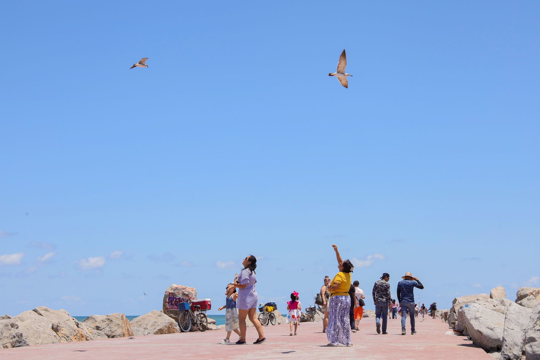
At the southern tip of Cancún's long barrier island, Punta Nizuc is where the Hotel Zone runs out of road. The peninsula curves into the Caribbean at a point the ancient Maya called Nizuc — roughly, promontory — and the name still fits: land pressing into open water, with the Nichupté Lagoon's mangroves on one side and a coral reef at around thirty feet of depth on the other.
Below the surface is where Punta Nizuc earns its own chapter. MUSA, the Museo Subacuático de Arte, places more than 500 sculptures on the seafloor along the Mesoamerican Reef — the second-largest barrier reef on earth. Jason deCaires Taylor's "The Gardener of Hope" is among them, a figure slowly being colonised by coral, becoming reef as you watch.
💛 What travellers fall for
People who come back tend to time the mangrove boat crossing carefully — the Nizuc channel at low traffic, early morning, before tour groups arrive. The pet-friendly window at Nizuc Beach (5 to 11 a.m.) is genuinely quiet in those hours, and the iguanas along the mangrove edge are reliably unbothered by company.
Deals in Punta Nizuc
Book directly at the provider

How Punta Nizuc came to be
The Maya read this promontory as an astronomical vantage point long before resort planners discovered it. When Cancún's engineered tourism corridor was laid out in the 1970s, Punta Nizuc served as the dividing line between development phases: Phase 2 ran from Bojorquez Lagoon down to the point; Phase 3 pushed south from here.
On July 19, 1996, the surrounding waters — more than 8,500 hectares of reef, seagrass and mangrove — were formally designated a protected marine area. That designation is the reason the reef remains diveable today, and why fishing is still off the table.
Who and what shaped it
People who shaped it
Landmark buildings
See Punta Nizuc in motion
Plan your visit
On the map
When to go
December through April sits in the low 80s°F with low humidity and little rain — the stretch most visitors aim for. Summer turns hot and thick with moisture; hurricane season runs from late July through late October, when conditions can shift quickly.
Right now
Background & history adapted from Wikipedia (CC BY-SA) · specs from Wikidata (CC0) · weather from Open-Meteo · map data © OpenStreetMap contributors · photos from Wikimedia Commons / Unsplash with per-image credit. No third-party reviews or social posts reproduced.