
Playa Langosta
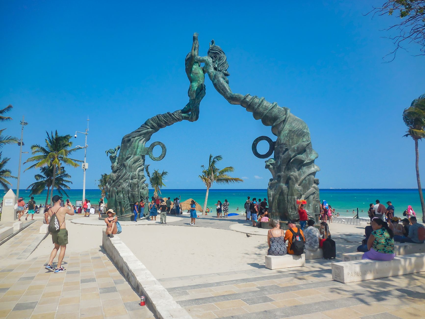
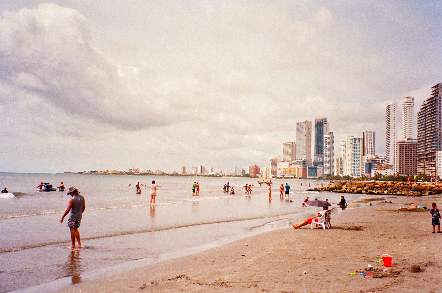
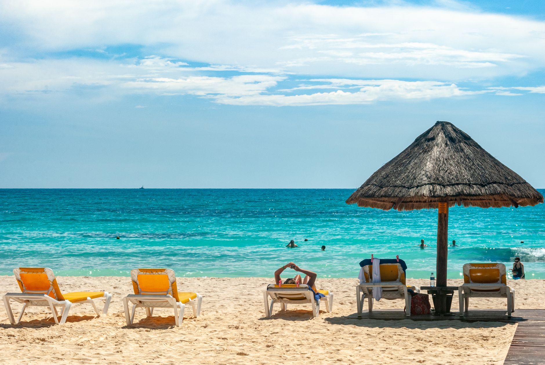
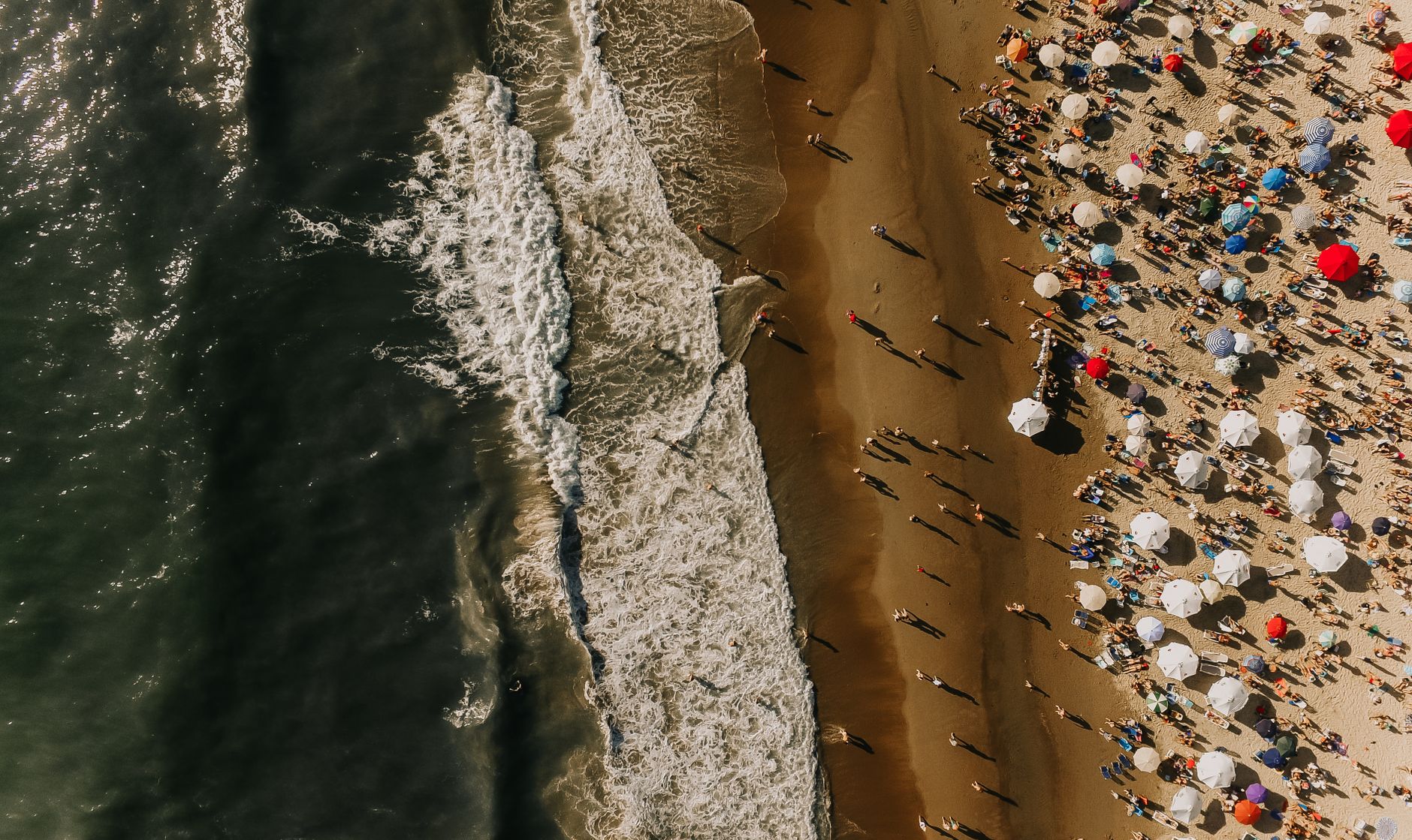
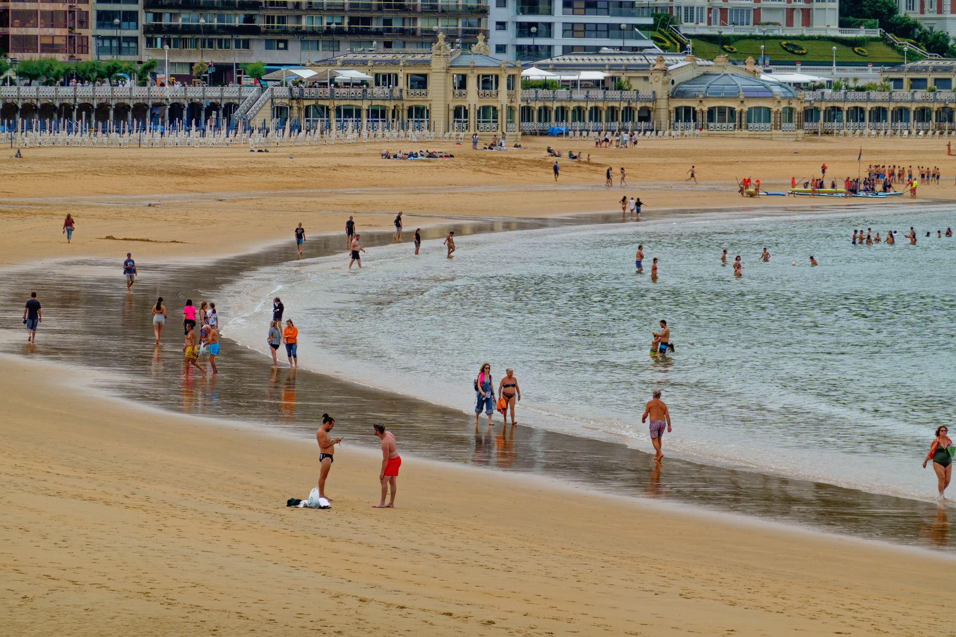
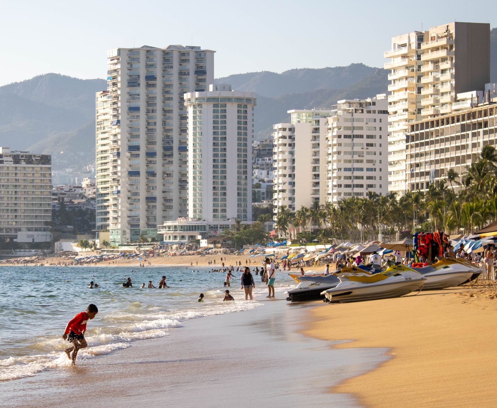
The name means lobster, and if you know anything about what this stretch of coastline looked like before the 1970s, that tracks — fishermen worked these waters long before the hotels arrived. At km 4.5 on Boulevard Kukulcán, Playa Langosta sits at the quieter northern end of the Zona Hotelera, facing Bahía de Mujeres rather than the open Caribbean. The sand is that powdered coral white Cancún is known for, the water shallow enough to wade far out, and the Cancún sign near the pier draws a steady line of cameras.
What sets it apart from the louder stretches nearby is pacing. Palapas dot the shore, public showers and restrooms are on hand, and across the boulevard a sculpture garden and greenspace give the whole area a neighborhood feeling that the bigger resort beaches rarely manage.
💛 What travellers fall for
People who come back tend to time it right: midweek mornings before the ferry crowd thickens at Langosta Pier. Go Kayak Cancún runs sunrise and sunset tours on Laguna Nichupté from just across the road — worth booking ahead. The snack bar mid-beach is perfectly adequate for what it is; don't overthink lunch.
Deals in Playa Langosta
Book directly at the provider

How Playa Langosta came to be
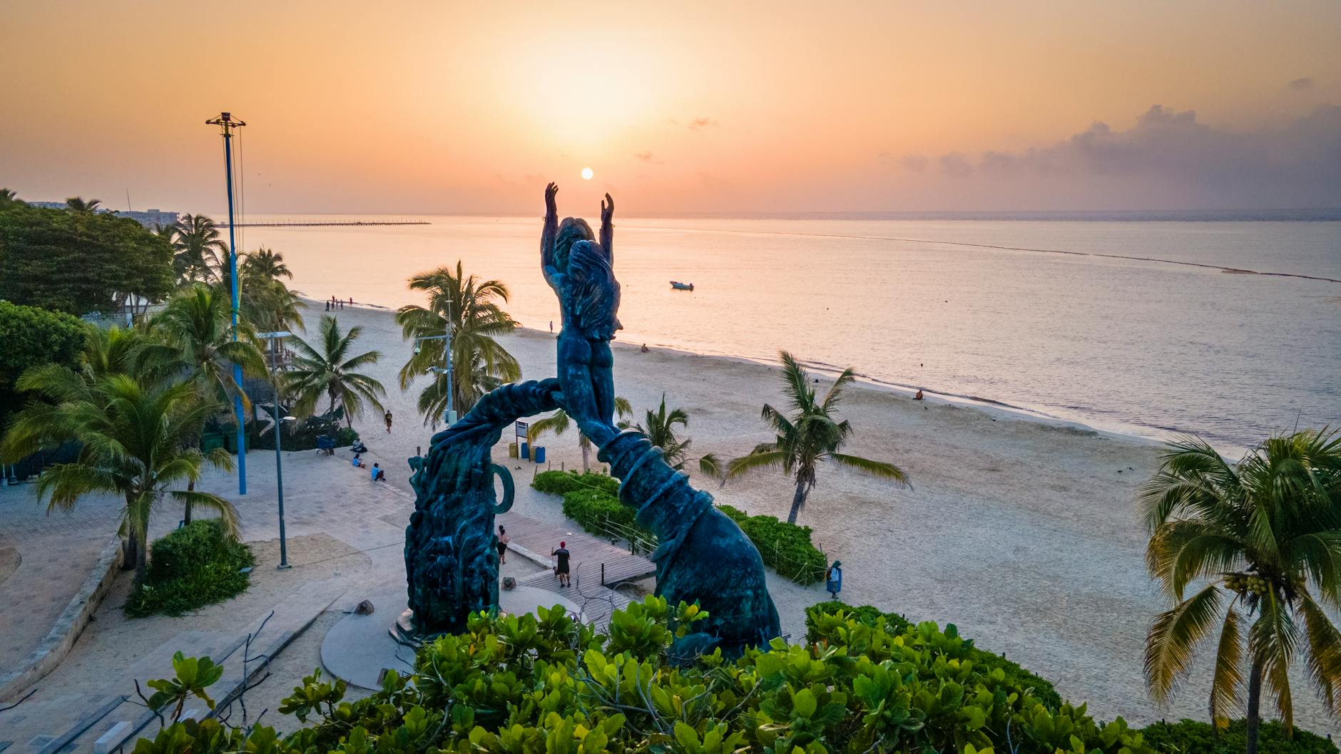
Before Cancún existed as a resort destination, this bay was fishing territory. Lobster — langosta — gave the beach its name, and local families relied on what these waters produced. That changed decisively in the 1970s when the Mexican government, identifying the peninsula's tourism potential, engineered Cancún's transformation from a small fishing settlement into an international resort corridor.
Playa Langosta developed within that larger arc, eventually receiving the infrastructure upgrades — shaded palapas, walking paths, the ferry pier connecting to Isla Mujeres — that shaped what it is today. The colorful Cancún sign near the pier arrived more recently as part of a broader revitalization effort, turning a functional transit point into a landmark in its own right.
Who and what shaped it
Landmark buildings
See Playa Langosta in motion
Plan your visit
On the map
When to go
January through April brings the driest, sunniest weather with daytime highs around 27°C (81°F) and cooling north trade winds — the most comfortable window for long beach days. From May onward temperatures and humidity climb toward 31°C (88°F) in August, with short but heavy afternoon storms common; hurricane season runs June to November, with the highest risk between August and October.
Right now
Background & history adapted from Wikipedia (CC BY-SA) · specs from Wikidata (CC0) · weather from Open-Meteo · map data © OpenStreetMap contributors · photos from Wikimedia Commons / Unsplash with per-image credit. No third-party reviews or social posts reproduced.