
Punta Cancún
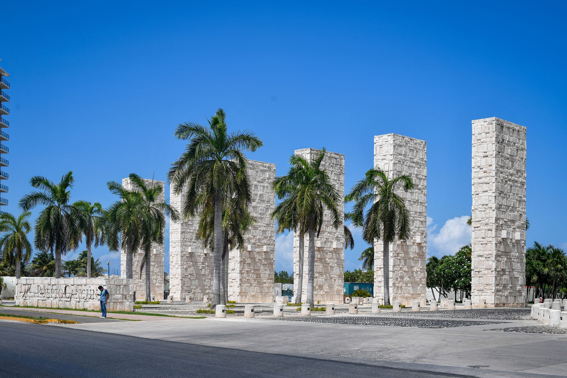
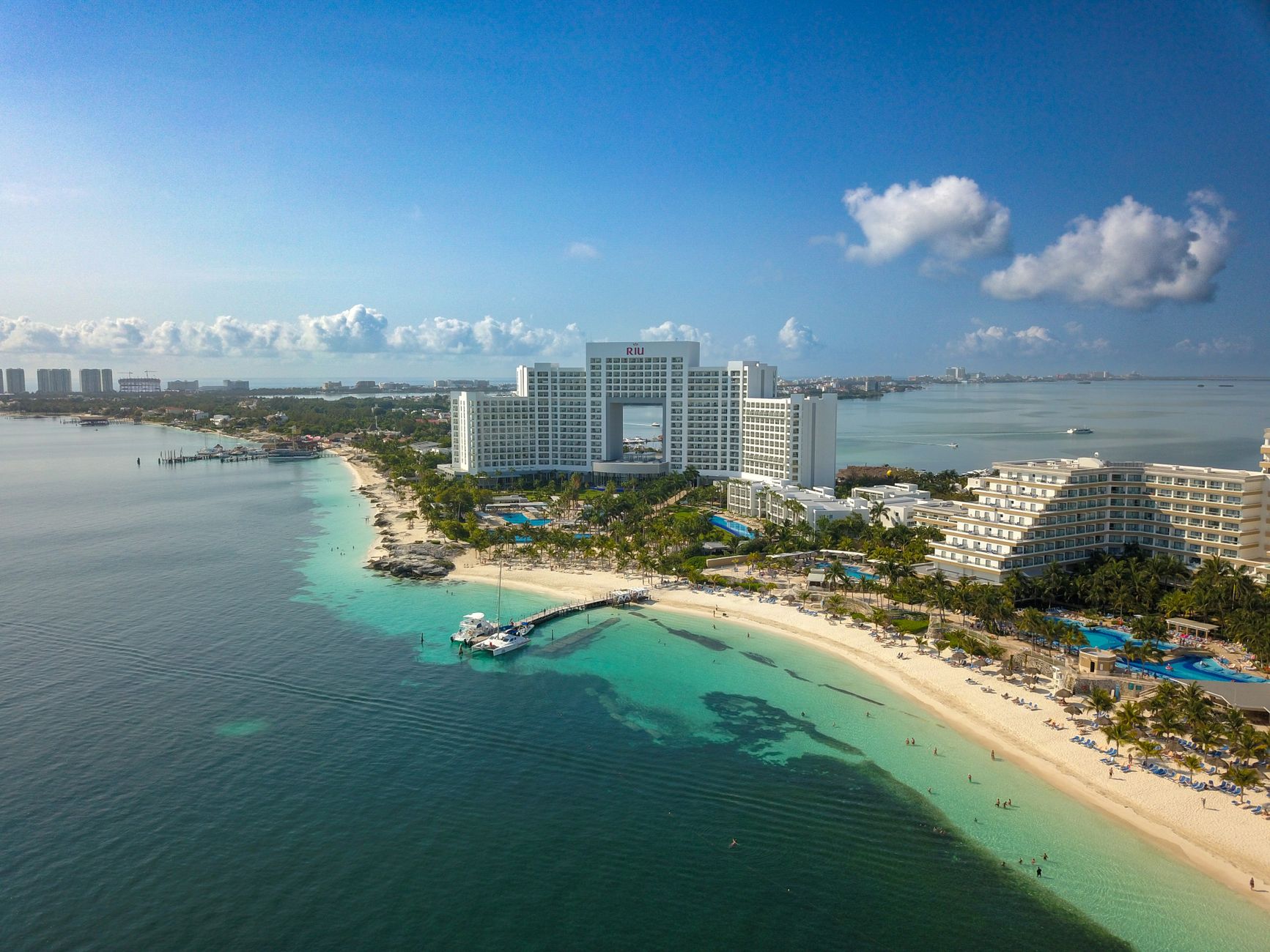
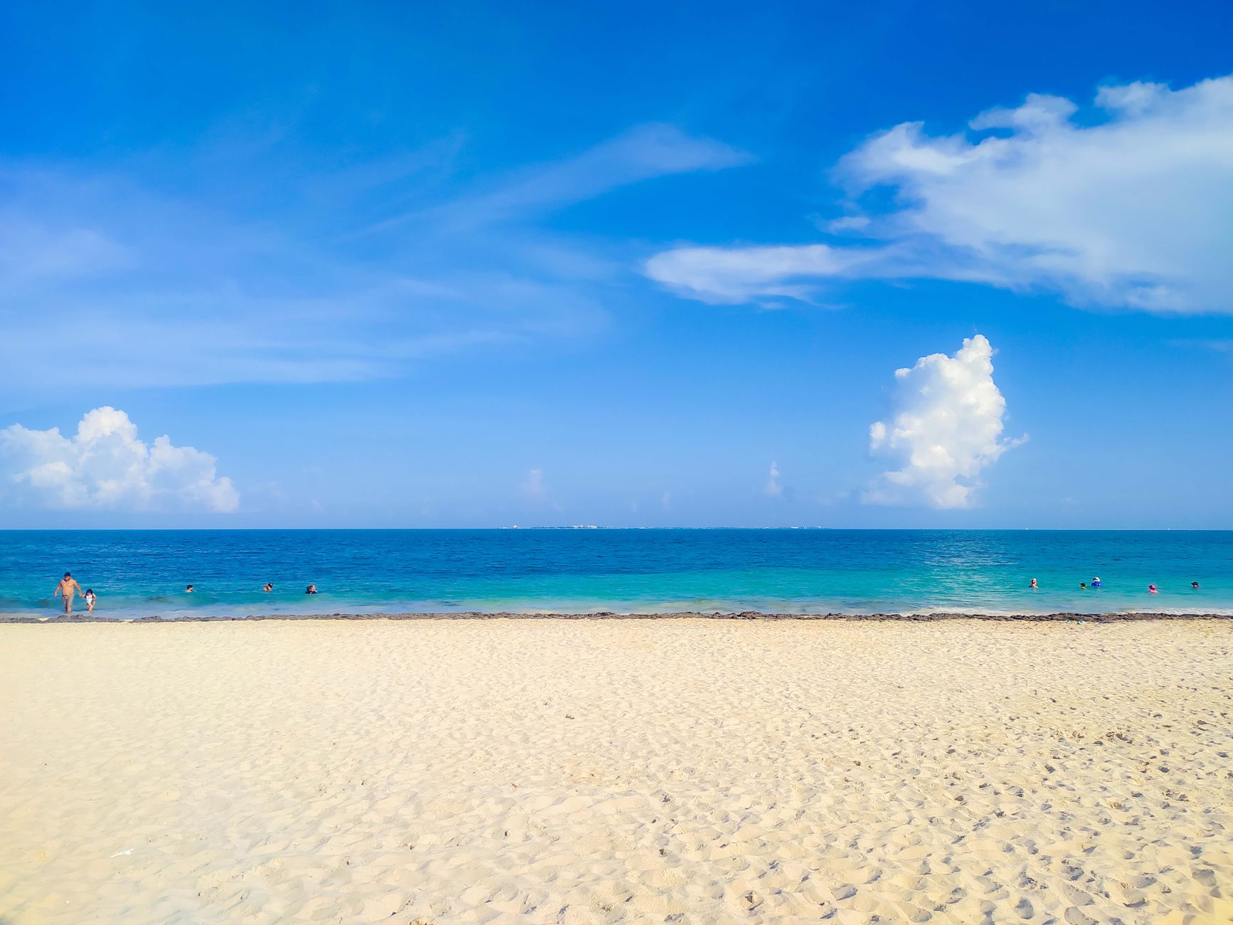
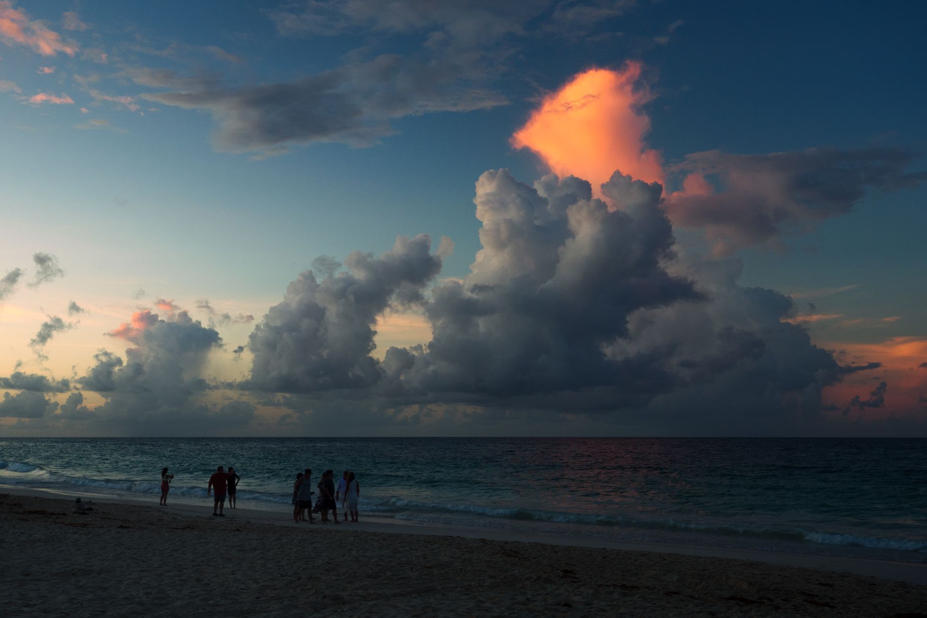
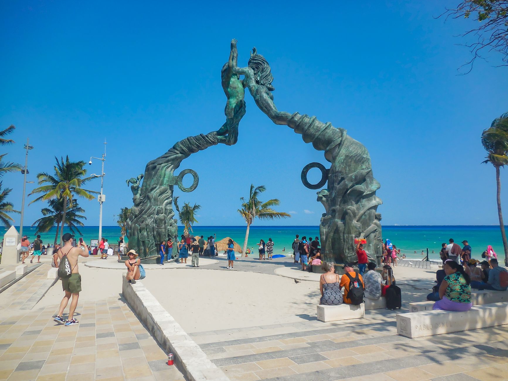
At kilometer 9 of Boulevard Kukulcán, the Hotel Zone narrows to a point and the Caribbean closes in on both sides. This is Punta Cancún — a small peninsula where the road bends and the water takes over, marked by a red-and-white striped lighthouse roughly forty feet tall that you can approach across the beach but not climb.
The coral barriers just offshore keep the water here calmer than much of the coast, which means snorkelers can wade in from the beach and find tropical fish and rays without a boat. At the northern tip, a handful of Mayan ruins sit near the Hyatt Ziva — easy to overlook, worth pausing for.
💛 What travellers fall for
People who return tend to time it for late afternoon. The lighthouse reads differently at dusk — the light catches the red stripes and the sea goes flat and silver behind it. Access to the beach near the Hyatt Ziva is straightforward during regular hours, and the walk from Playa Caracol takes under ten minutes.
Deals in Punta Cancún
Book directly at the provider
How Punta Cancún came to be
The story of Punta Cancún begins with a government decision in 1969, when Mexican planners selected this stretch of Caribbean coastline as the site of a purpose-built resort corridor. Construction began officially on 20 April 1970. Antonio Enríquez Savignac, then head of the federal tourism development agency Infratur, was the central figure behind the project — choosing the location and driving its execution.
The master plan was the work of architects Agustín and Enrique Landa Verdugo, in collaboration with Javier Solórzano. They laid out a 23-kilometre spit of hotel development, and Punta Cancún — the bend at the northern end of the zone, between Bahía de Mujeres and the Bojorquez Lagoon — formed the hinge of the entire design.
Who and what shaped it
People who shaped it
Landmark buildings
See Punta Cancún in motion
Plan your visit
On the map
When to go
December through April brings the most reliable conditions: temperatures between 23°C and 30°C, low humidity, and little rain. From May onward the air thickens and afternoon downpours become routine, with September marking the wettest month and the peak of Atlantic hurricane risk running through October.
Right now
Background & history adapted from Wikipedia (CC BY-SA) · specs from Wikidata (CC0) · weather from Open-Meteo · map data © OpenStreetMap contributors · photos from Wikimedia Commons / Unsplash with per-image credit. No third-party reviews or social posts reproduced.