
Ciudad Cancún (SM 64 area)
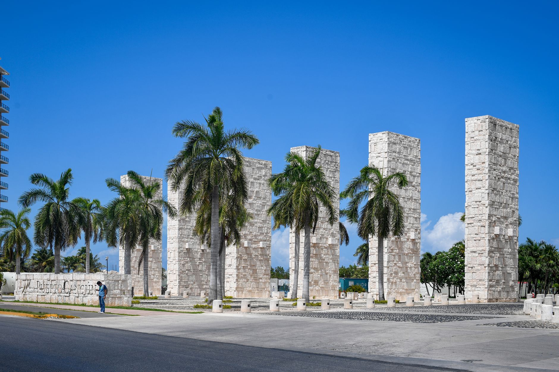
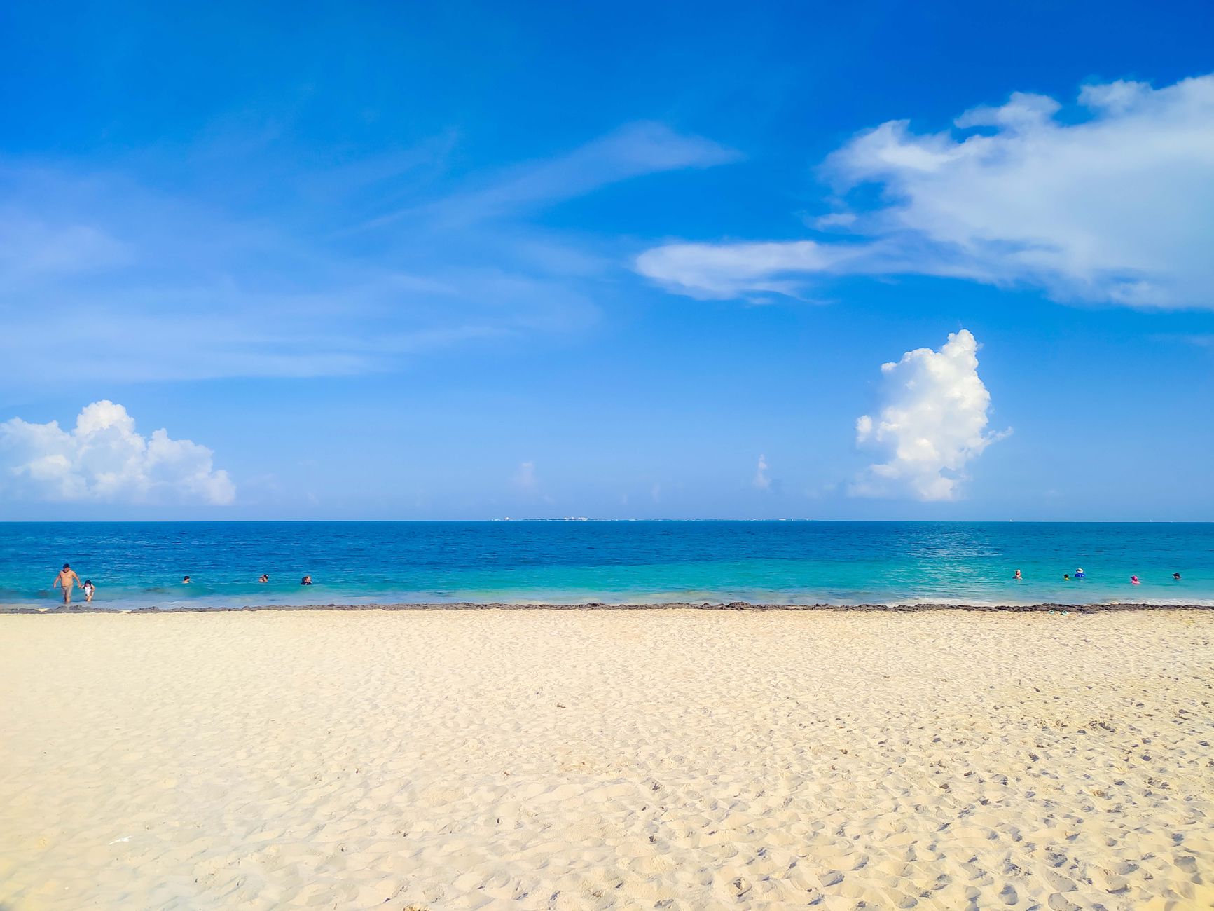
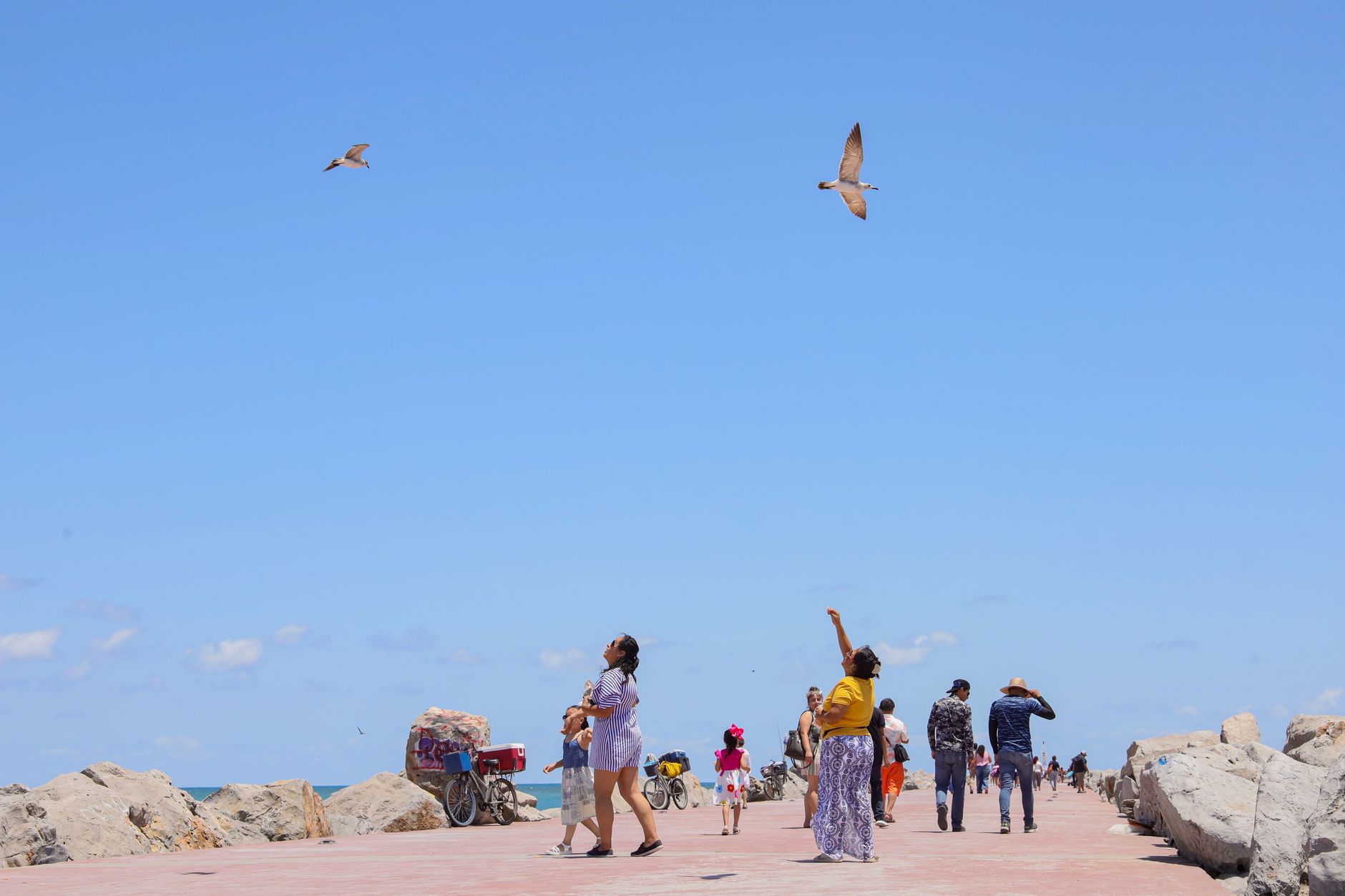
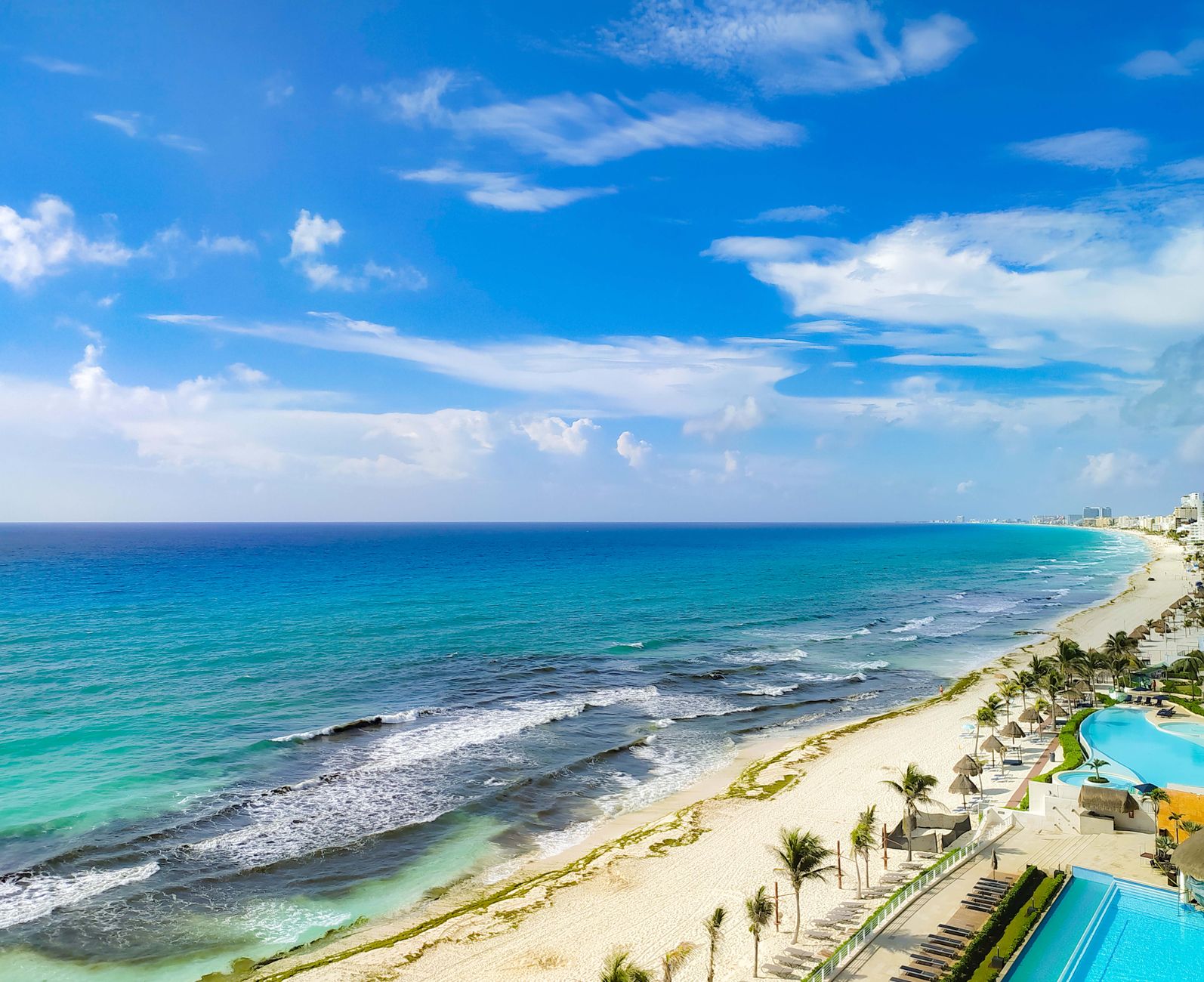
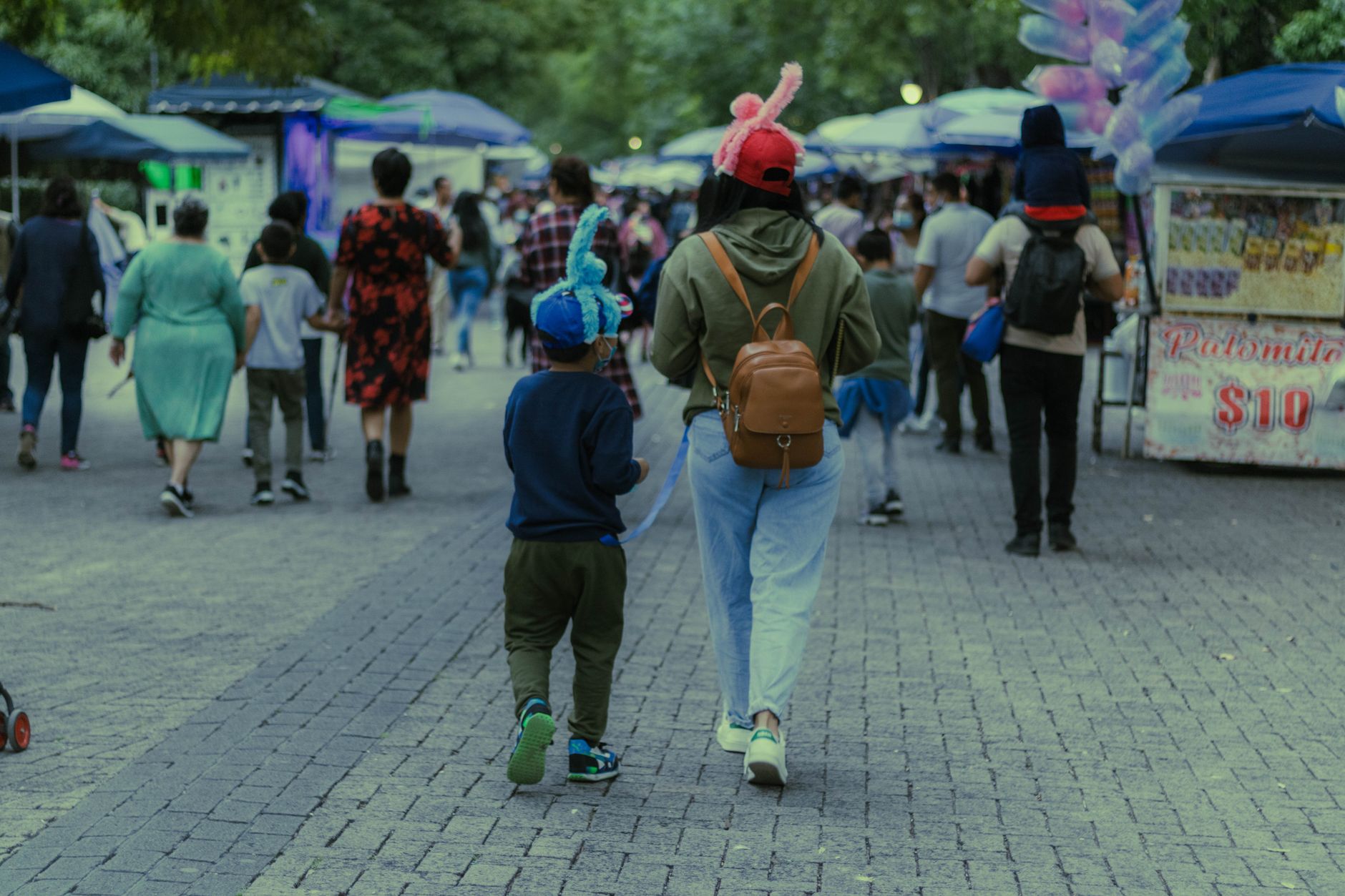
The Cancún most visitors never see is built on a grid of triangular Supermanzanas — residential superblocks where U-shaped interior streets keep the traffic noise out and the neighbourhood life in. SM 64, formalized in 1977, sits at the working heart of Ciudad Cancún: block-and-concrete homes with tile floors, a laundromat within ninety seconds of almost any front door, and Parque Las Palapas a short walk away where the city's own residents actually eat and gather.
This is the mainland city that was always meant to house the people running the resort on the barrier island across the lagoon. Iglesia de Cristo Rey, built between 1970 and 1972, was Cancún's first Roman Catholic church — a reminder that what looks like an instant city was, in fact, assembled street by street from a coconut plantation and a fishing village of 117 people.
💛 What travellers fall for
People who come back to this part of Cancún tend to skip the taxi and take the R1 or R2 bus along Boulevard Kukulcán for around 12 pesos — it drops you at Avenida Tulum and Avenida Cobá, a short walk from Mercado 28 and the palapas. They eat at the market, not around it, and leave the afternoon free for the Museo Maya de Cancún before it closes at six.
Deals in Ciudad Cancún (SM 64 area)
Book directly at the provider
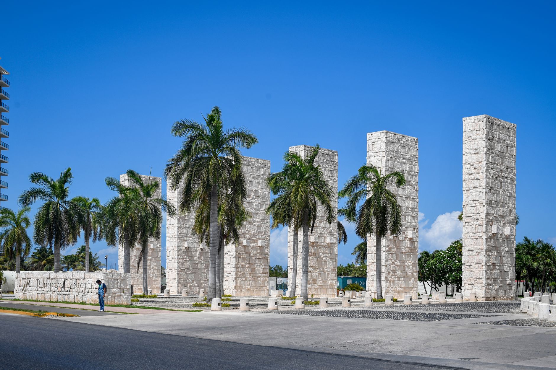
How Ciudad Cancún (SM 64 area) came to be
On January 23, 1970, Isla Cancún had exactly three inhabitants — caretakers of a coconut plantation belonging to Don José de Jesús Lima Gutiérrez — and Puerto Juárez nearby held 117 more. The Mexican government, through what would become FONATUR, had chosen this stretch of coast the previous year. Construction began April 20, 1970, and the settlement was formally established August 10, 1971.
The master plan was drawn up by architects Agustín and Enrique Landa Verdugo, working with Javier Solórzano: a 23-kilometre barrier island for hotels, and a mainland city for everyone else. Antonio Enríquez Savignac, head of the agency and the project's driving force, is credited as the city's father. SM 64 — originally Colonia Puerto Juárez — was formalized on February 14, 1977, one piece of the deliberate urban logic that gave every neighbourhood its own school, park, and market.
Who and what shaped it
People who shaped it
Landmark buildings
See Ciudad Cancún (SM 64 area) in motion
Plan your visit
On the map
When to go
December through April is dry and sunny with temperatures that rarely push above 93°F or drop below 58°F — the most comfortable window to be here. From May onward the heat becomes heavier and rain arrives in earnest, with October the wettest month; hurricane season runs June through November.
Right now
Background & history adapted from Wikipedia (CC BY-SA) · specs from Wikidata (CC0) · weather from Open-Meteo · map data © OpenStreetMap contributors · photos from Wikimedia Commons / Unsplash with per-image credit. No third-party reviews or social posts reproduced.