
Zamboanga Peninsula
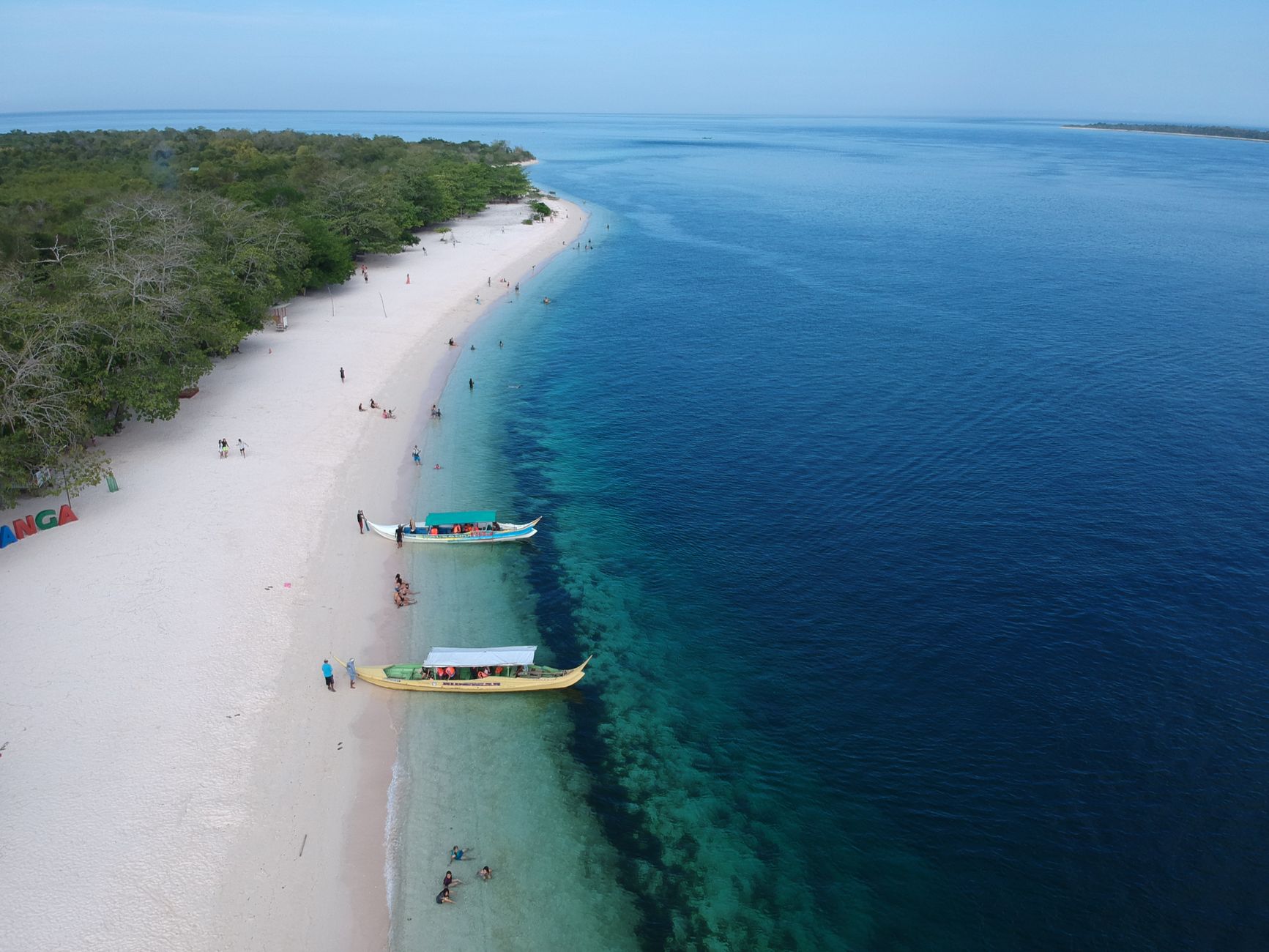
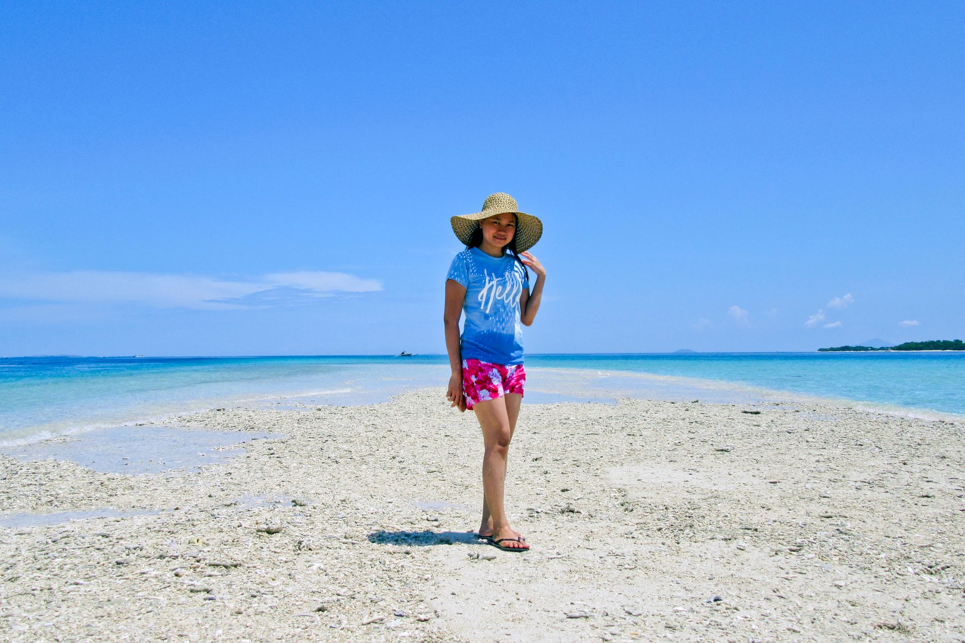
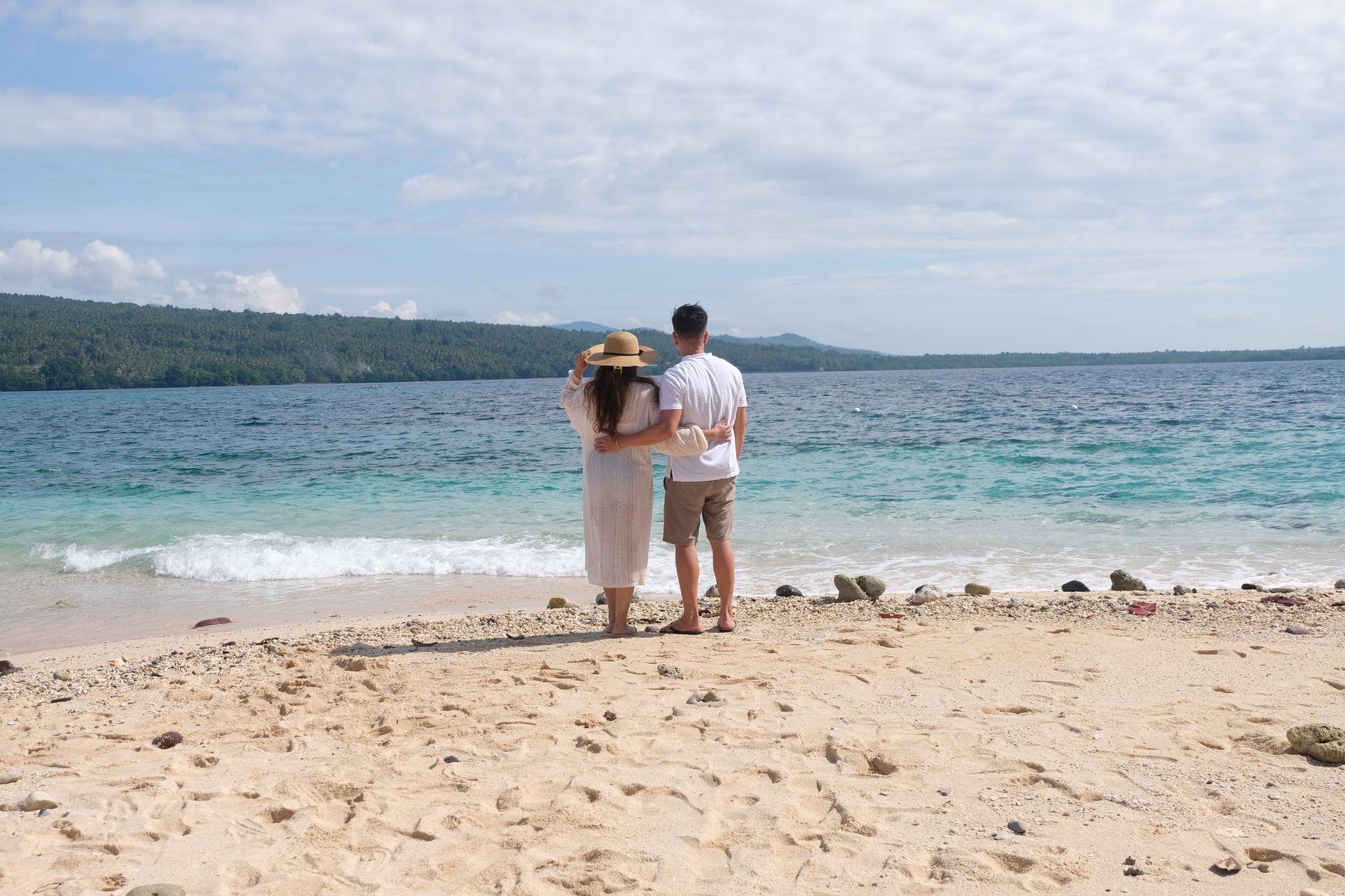
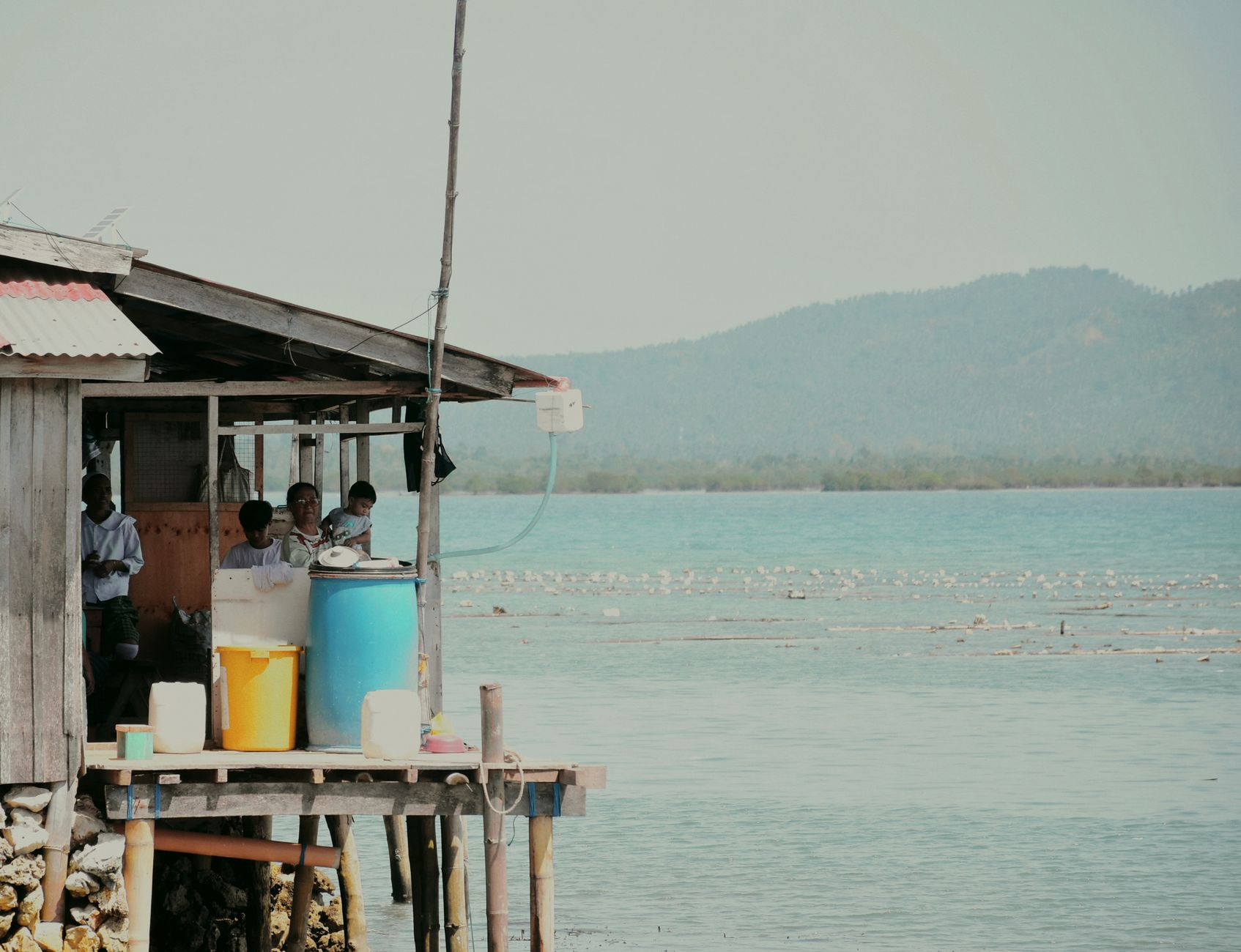

The southwestern arm of Mindanao reaches into the Basilan Strait like a finger pointing toward the Sulu Sea, and the Zamboanga Peninsula carries a character unlike anywhere else in the Philippine archipelago. Chavacano — a Spanish-based creole that evolved over four centuries — drifts through conversations in Zamboanga City's markets. The Bajau people still move across the strait in vintas, their sailboats painted in the same dense reds and yellows you'd see in old photographs.
Three provinces — Zamboanga del Norte, Zamboanga del Sur, and Zamboanga Sibugay — divide the land, with Pagadian as the administrative center and Zamboanga City as the commercial heart. José Rizal spent four years in exile here, in Dapitan, where he practiced medicine, taught, and built a waterworks system for the town.
How Zamboanga Peninsula came to be
Chinese Song dynasty records from AD 1011 mention a polity from Mindanao whose ambassador visited the imperial court — a trace of how far the peninsula's reach extended even then. Spanish forces established a garrison at La Caldera in 1569, and on June 23, 1635, the Jesuit priest-engineer Father Melchor de Vera laid the cornerstone of Fort Pilar — El Real Fuerza de Nuestra Señora del Pilar de Zaragoza — built to defend Christian settlers against raids from the sea. That date became the city's founding day, and the fort still stands.
After 1898, a brief Republic of Zamboanga gave way to American administration under the Moro Province. The peninsula was occupied by Japan in 1942 and liberated in 1945. In 1952, the original province was divided into Zamboanga del Norte and Zamboanga del Sur, the shape the region largely holds today.
Who and what shaped it
People who shaped it
Landmark buildings
See Zamboanga Peninsula in motion
Plan your visit
On the map
When to go
The peninsula runs dry from January through April — March offers the most manageable heat before temperatures climb toward 38°C in April. The rains settle in from June through October, with May and November sitting in between as transition months that can go either way.
Right now
Background & history adapted from Wikipedia (CC BY-SA) · specs from Wikidata (CC0) · weather from Open-Meteo · map data © OpenStreetMap contributors · photos from Wikimedia Commons / Unsplash with per-image credit. No third-party reviews or social posts reproduced.