
Palawan
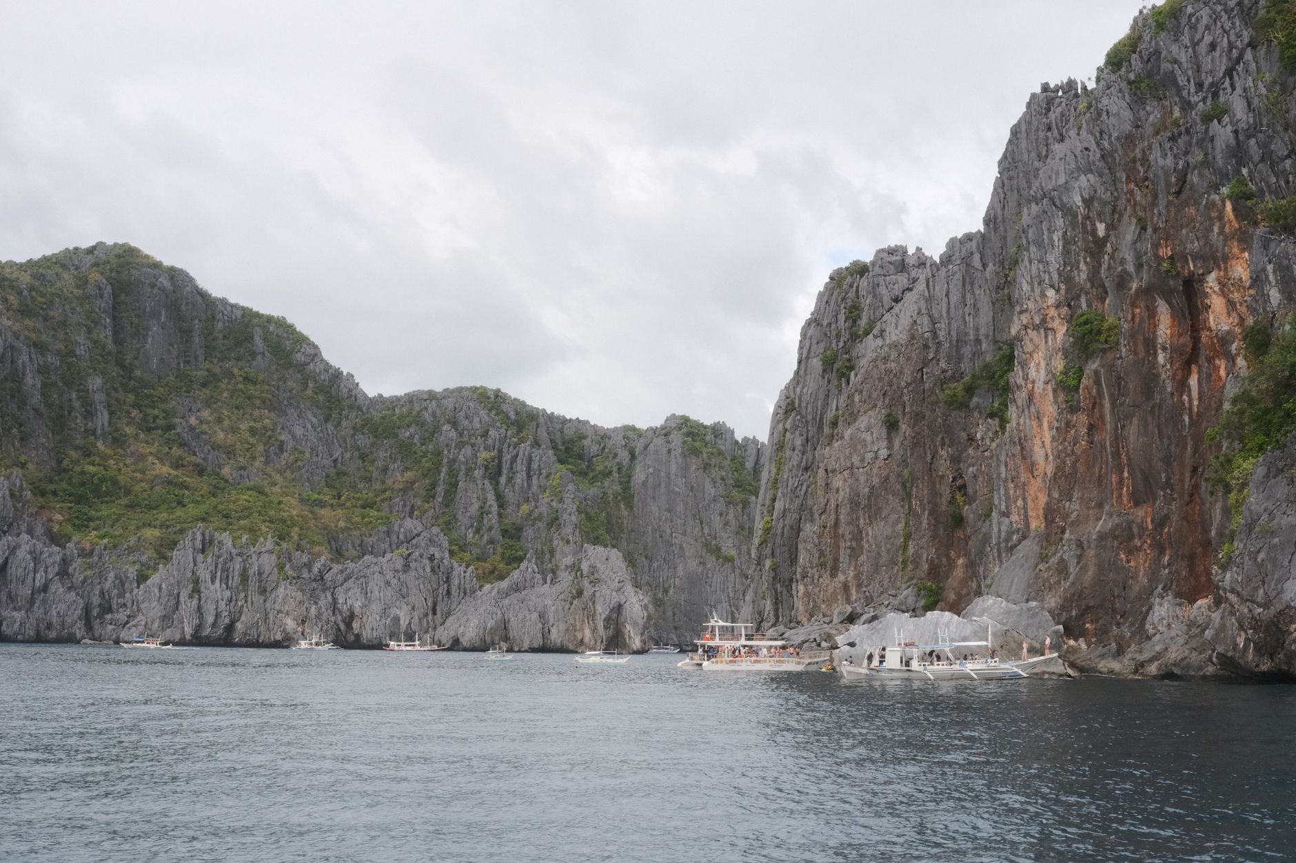
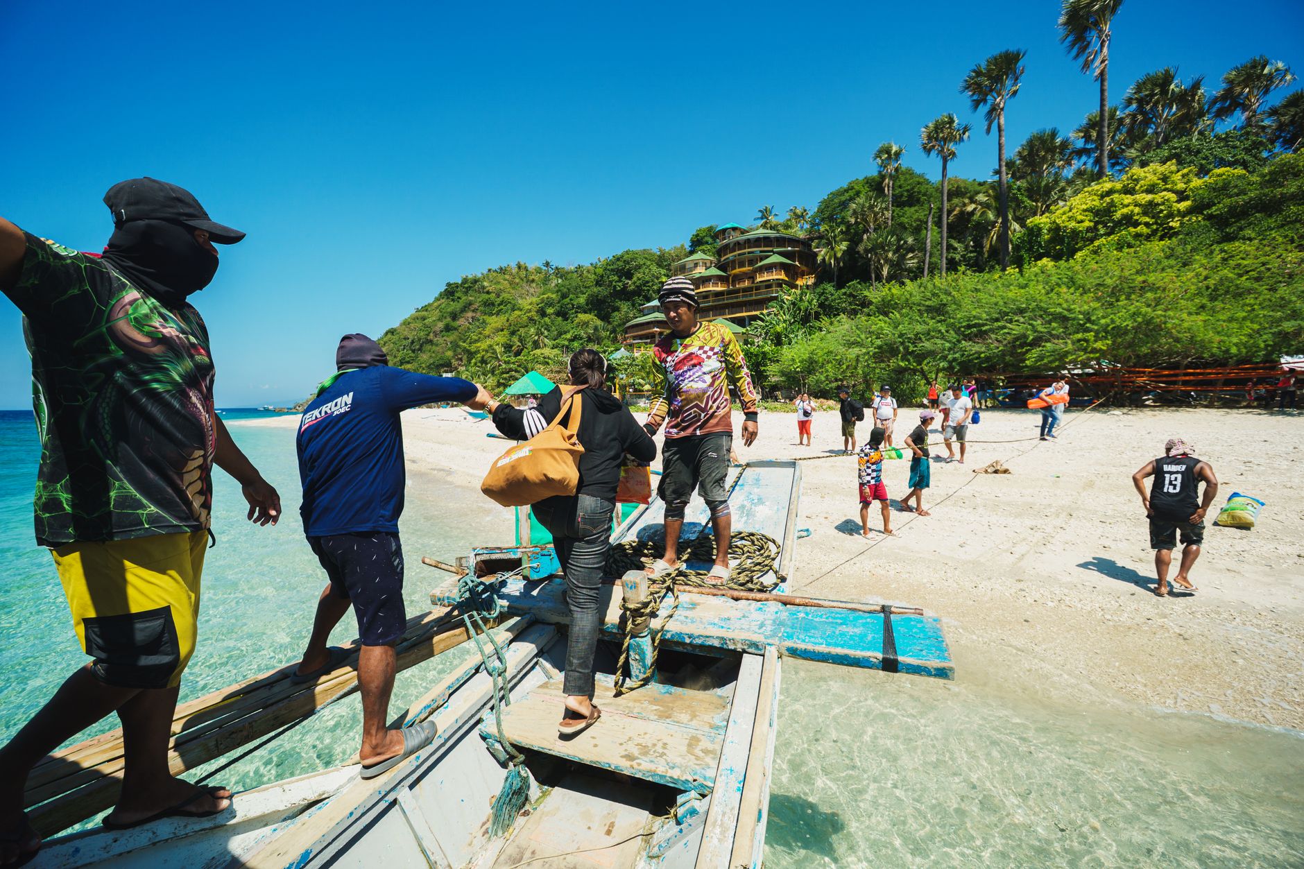

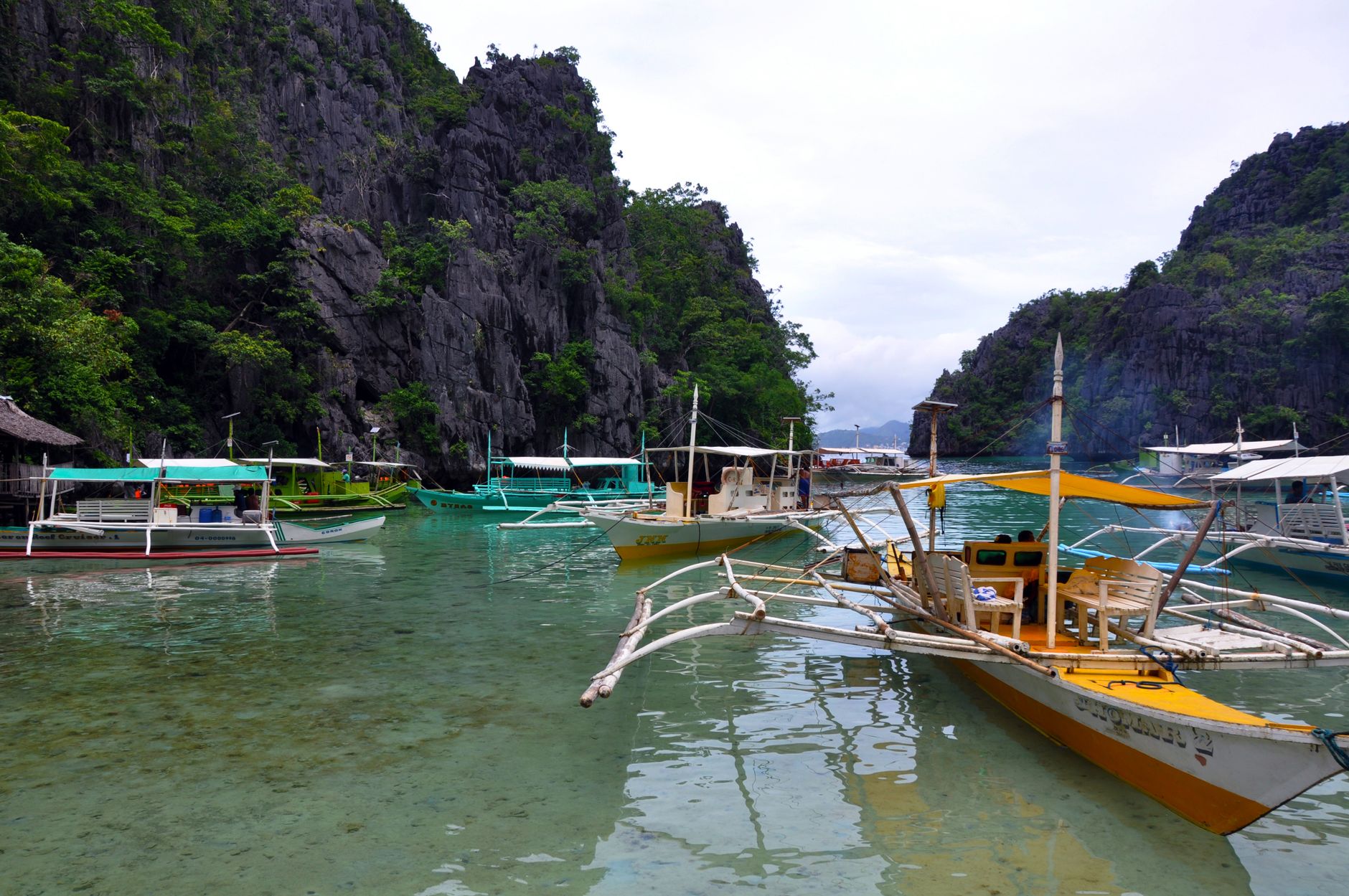
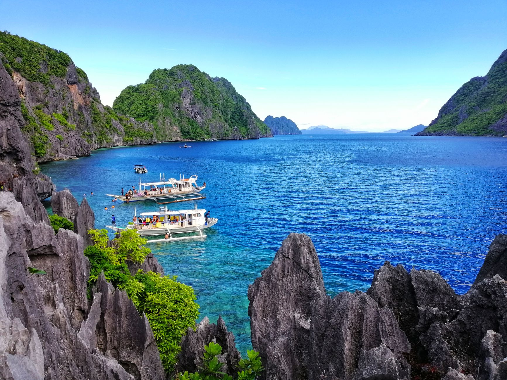
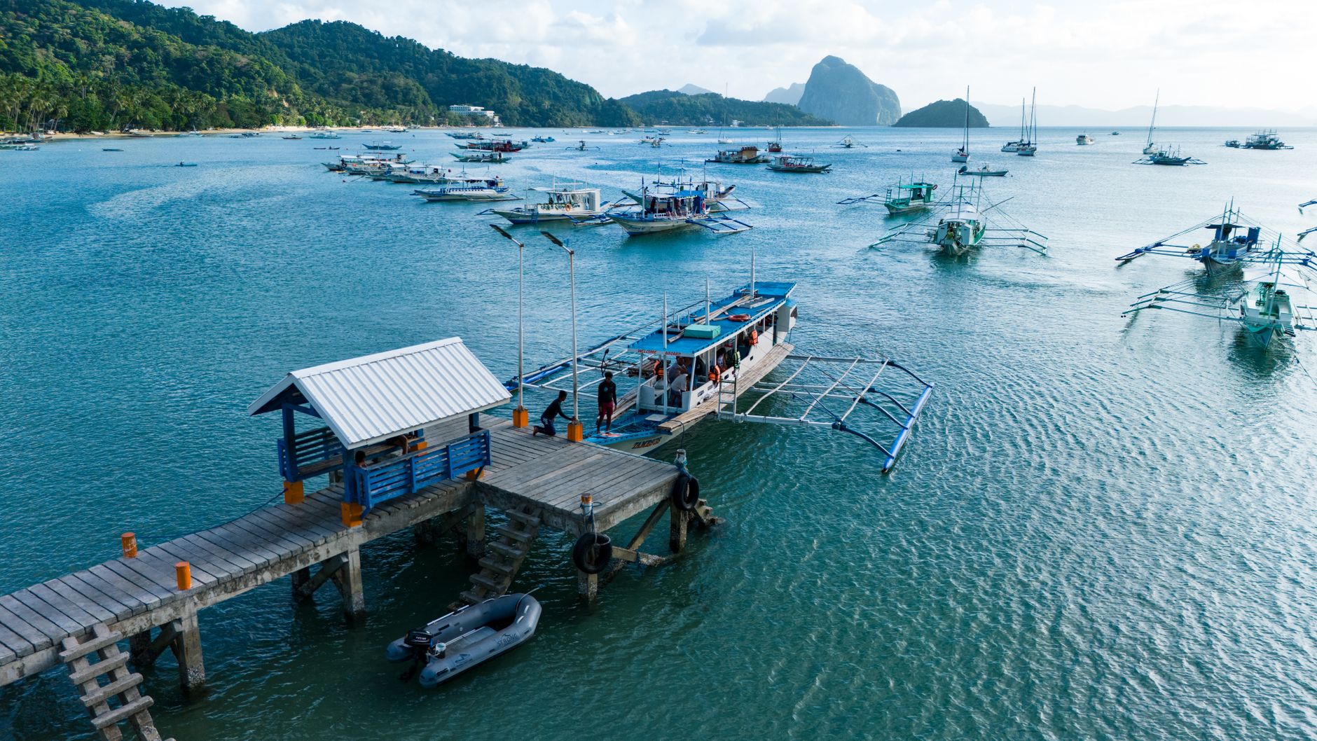
Palawan stretches southwest from the main Philippine archipelago like a long green spine dropped into the Sulu and South China Seas. The island province runs roughly 450 kilometres tip to tip, and that scale matters: what you find in El Nido's karst-walled lagoons in the north is a different world from the colonial plazas and cave systems around Puerto Princesa in the centre, or the coral-ringed reefs of Coron in the north-east.
Under that geography sits something older. Tabon Cave on the southwestern coast has yielded human remains dating back more than 50,000 years, making Palawan one of the earliest known sites of habitation in Southeast Asia. Excavations continue there today.
How Palawan came to be
Humans have been passing through and settling Palawan for an extraordinarily long time. The Tau't Bato, Palaw'an, Tagbanua, and Batak peoples established themselves along coasts and in mountain interiors long before Malay settlers arrived. By 982 AD, Chinese traders were using the island as a waypoint between Malay and Chinese networks, and by the 12th century, migrants from Borneo and Malaysia had introduced new farming practices and Islam to the south.
The Spanish arrived in the early 1600s, building forts and churches — Fort Santa Isabel in Taytay dates to that era, constructed initially in wood and later rebuilt in stone to hold off pirates. In 1858 the province was divided into two administrative units; it was reunified and renamed Palawan in 1903 under American reorganisation, with Puerto Princesa confirmed as capital. Plaza Cuartel in that city carries a darker chapter: during the Second World War, it was the site of a massacre by the Japanese Imperial Army, and only the facade and two half-round towers now remain.
Who and what shaped it
People who shaped it
Landmark buildings
See Palawan in motion
Plan your visit
On the map
When to go
The dry season runs from late November through May, with February and March delivering the clearest skies and calmest water — the window most travellers aim for. The wet season (June to October) rarely means relentless rain; mornings often stay bright, with heavy showers rolling through in the late afternoon or evening.
Right now
Background & history adapted from Wikipedia (CC BY-SA) · specs from Wikidata (CC0) · weather from Open-Meteo · map data © OpenStreetMap contributors · photos from Wikimedia Commons / Unsplash with per-image credit. No third-party reviews or social posts reproduced.