
Bohol
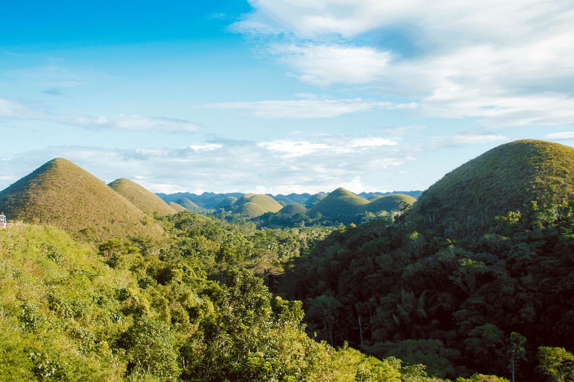
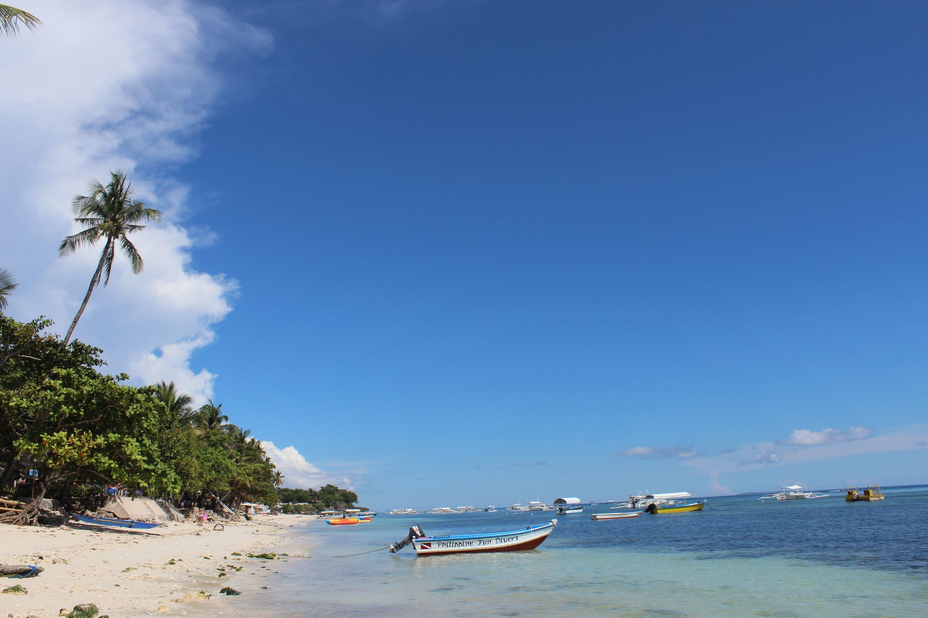
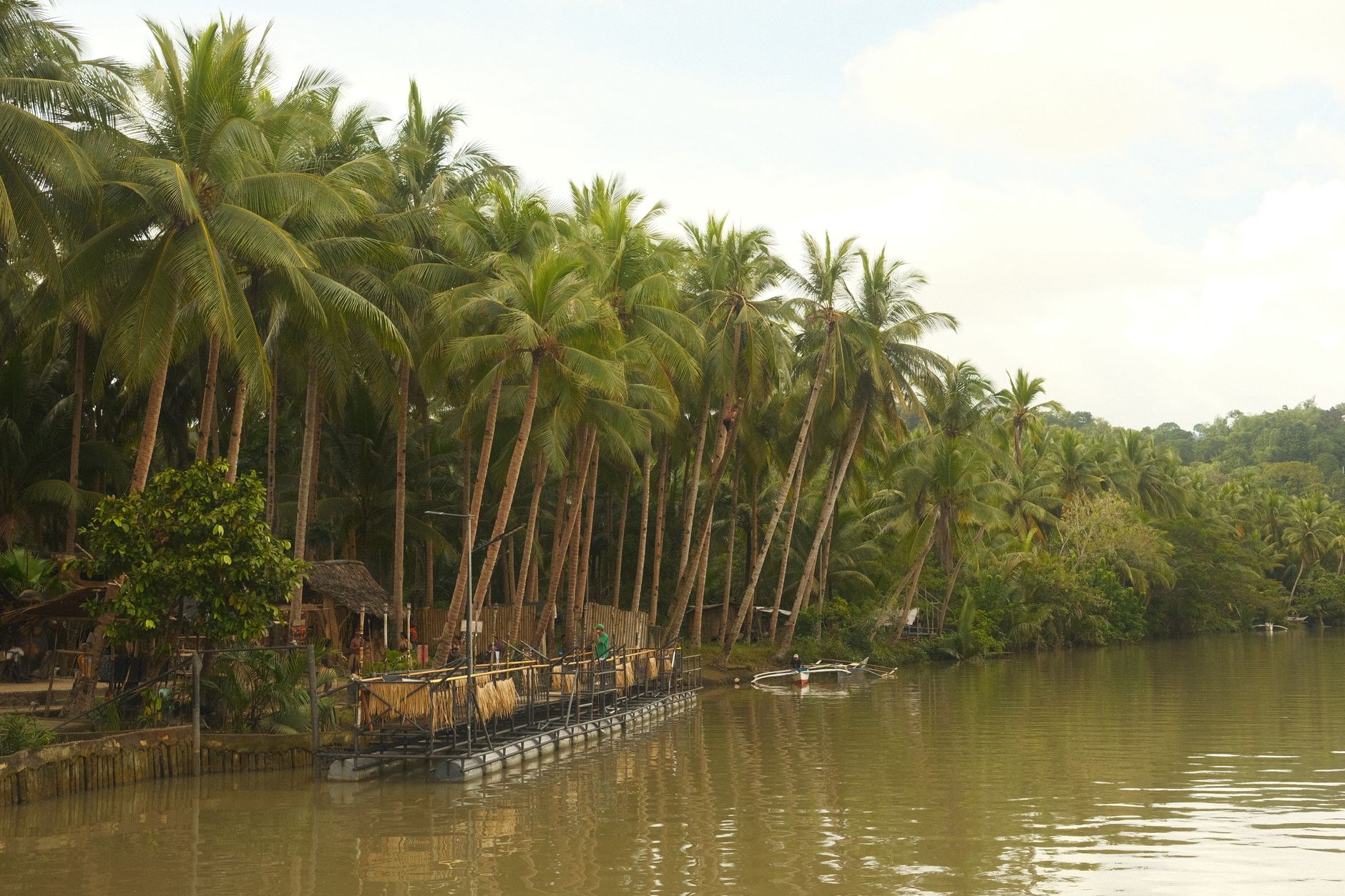
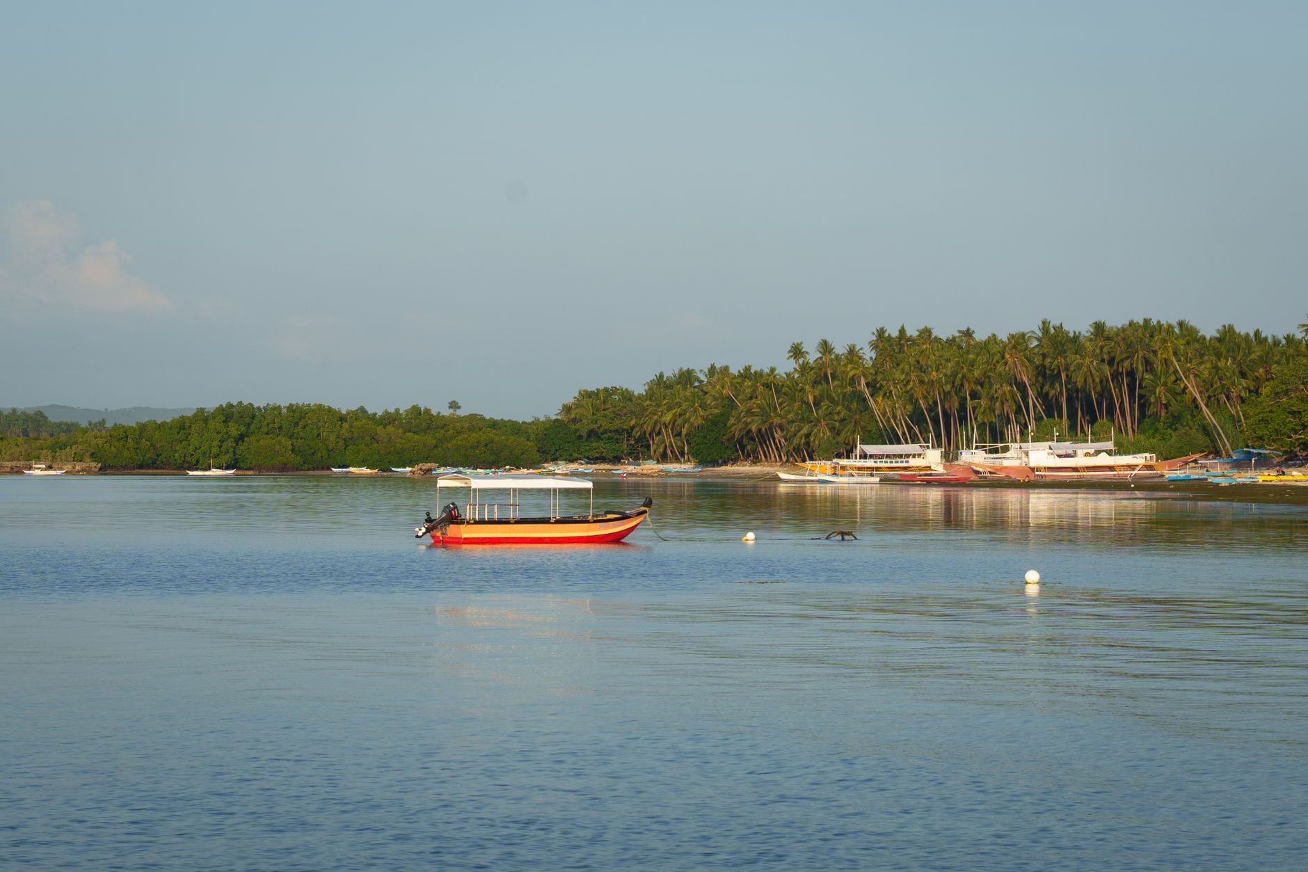
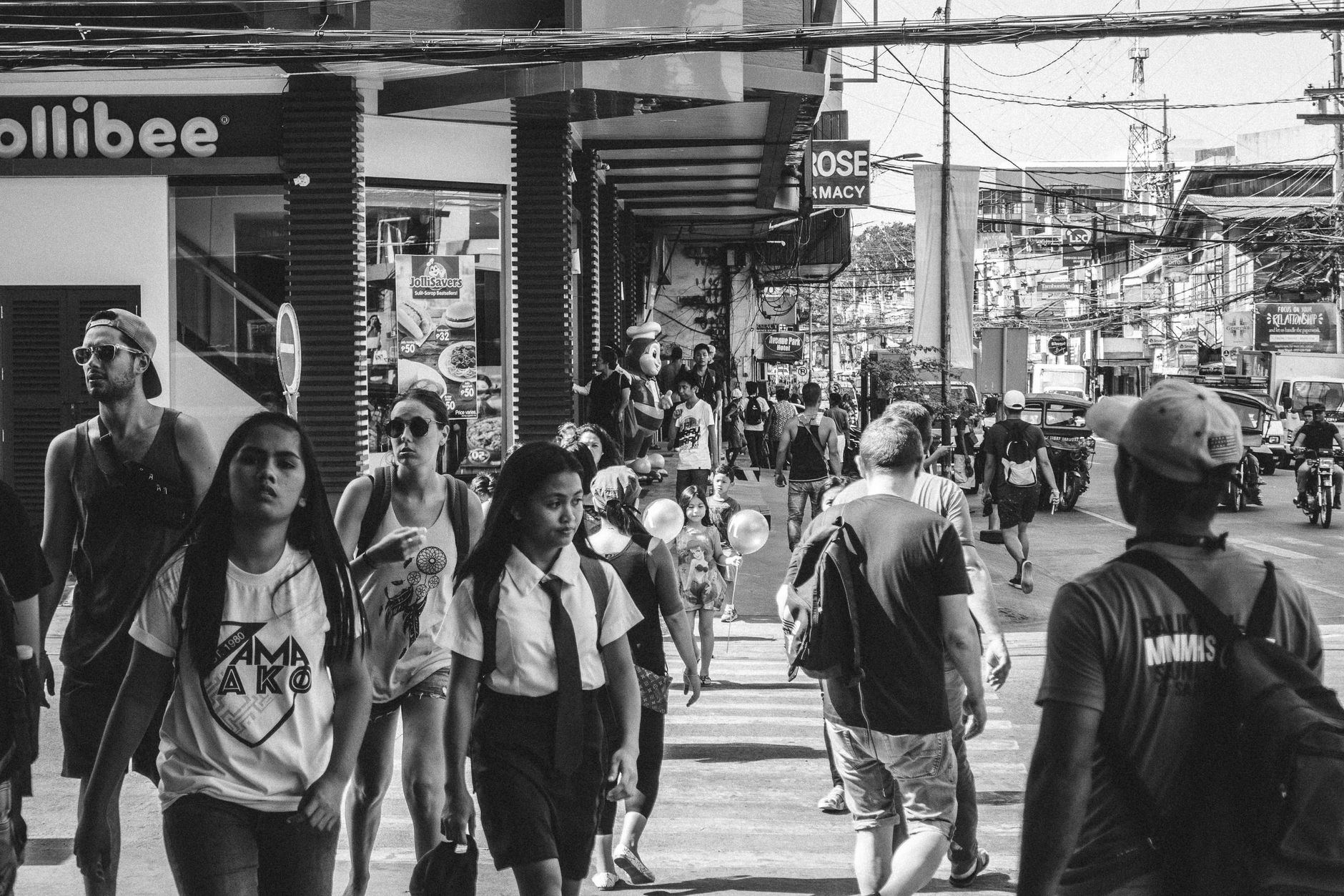
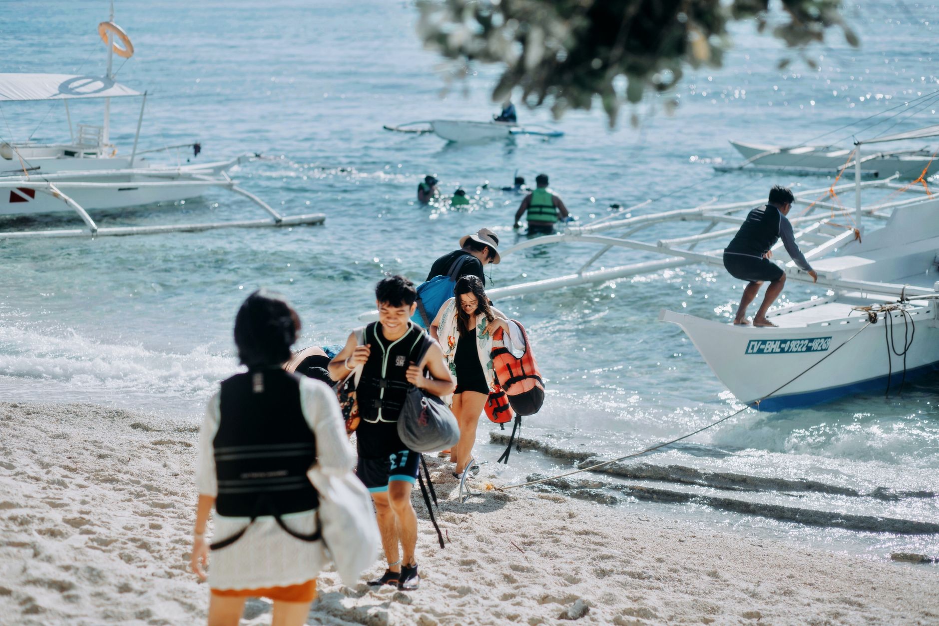
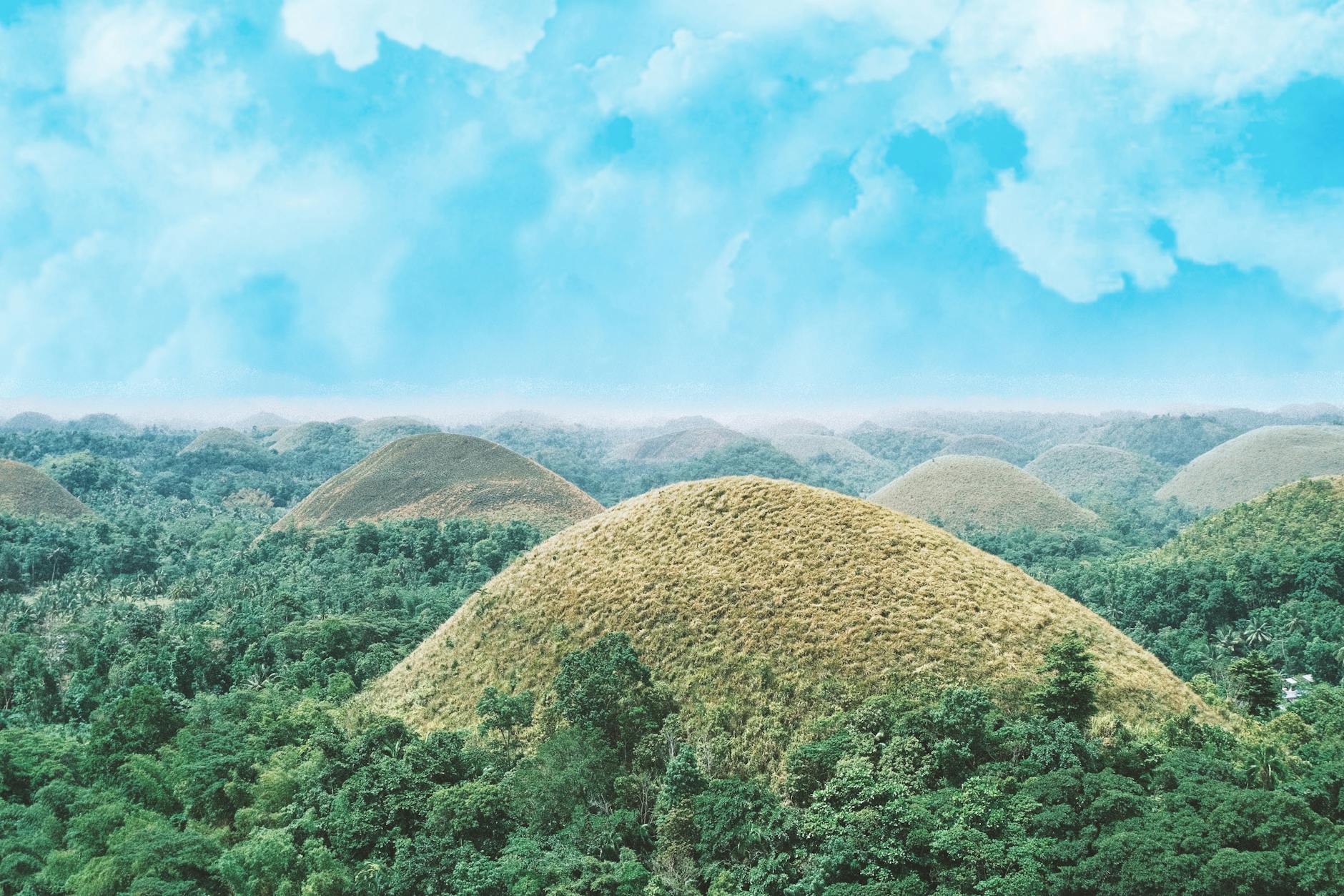
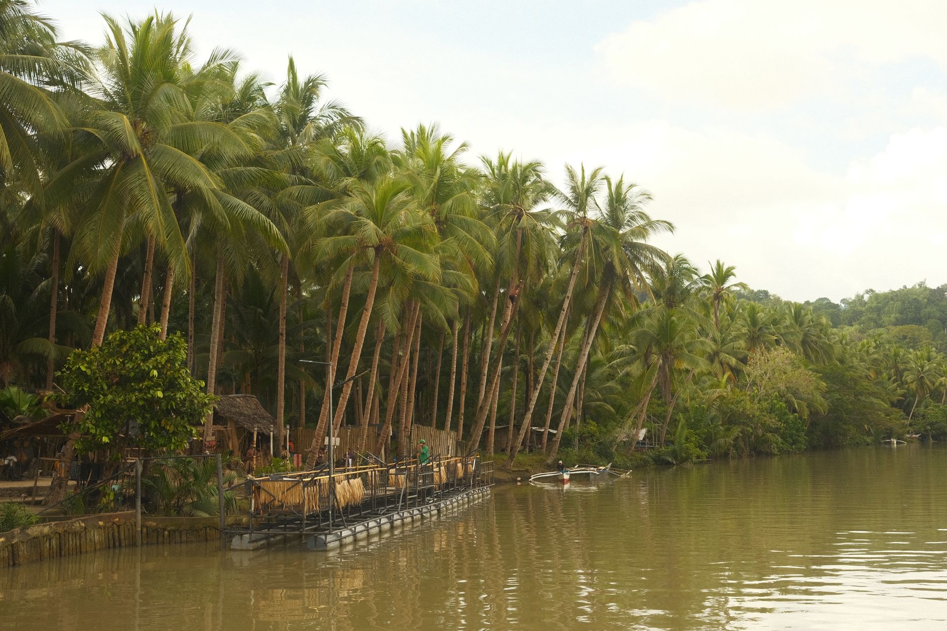
Bohol announces itself with a geological oddity: somewhere between 1,269 and 1,776 perfectly rounded hills rising from the flatlands, green through the rains, brown and cocoa-coloured when the dry season comes. That image travels far, but the island is larger than it looks in photographs — coral-stone churches that have stood since the 1700s, a river hung with bamboo footbridges, a mahogany corridor that drops the temperature the moment you enter it.
Tagbilaran is the provincial capital and most people arrive here, by fast ferry or a short hop from Cebu. From that port, the rest of Bohol fans out: the interior hills, the Loboc River valley, and a coastline that keeps its own counsel.
Experiences you don't want to miss

How Bohol came to be
The oldest traces here are wooden boat coffins estimated at 6,000 years old. The event that lodged Bohol in Philippine national memory came later: on 25 March 1565, Spanish explorer Miguel Lopez de Legazpi and the local chieftain Datu Sikatuna sealed an alliance by mixing their blood in wine and drinking it — the Sandugo, considered the first formal treaty of friendship between Spaniards and Filipinos.
Spanish rule never sat entirely still on the island. A native priest named Tamblot led an uprising in 1621, and Francisco Dagohoy mounted a rebellion that lasted from 1744 to 1829 — 85 years, the longest in Philippine colonial history. Bohol was separated from Cebu province in 1854, formally constituted as a province in 1917, and declared liberated from Japanese occupation on 25 May 1945.
Who and what shaped it
People who shaped it
Landmark buildings
See Bohol in motion
Plan your visit
On the map
When to go
November through May is the drier, calmer stretch — daytime temperatures sit around 28°C, and the Chocolate Hills turn their characteristic brown. June through October brings the southwest monsoon: rain can come in sustained bursts, and occasional typhoons are possible, though weeks of clear weather can still appear between them.
Right now
Background & history adapted from Wikipedia (CC BY-SA) · specs from Wikidata (CC0) · weather from Open-Meteo · map data © OpenStreetMap contributors · photos from Wikimedia Commons / Unsplash with per-image credit. No third-party reviews or social posts reproduced.