
Vigan
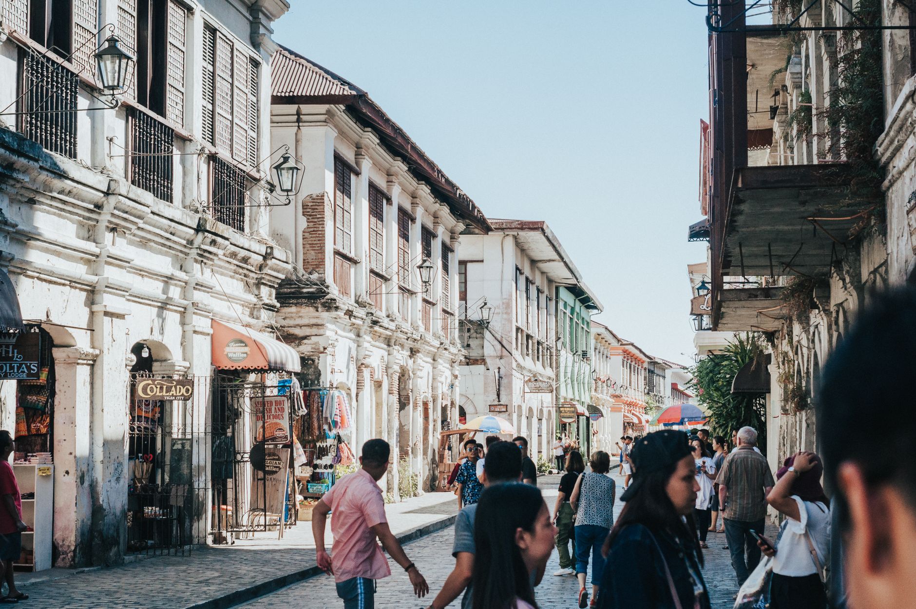
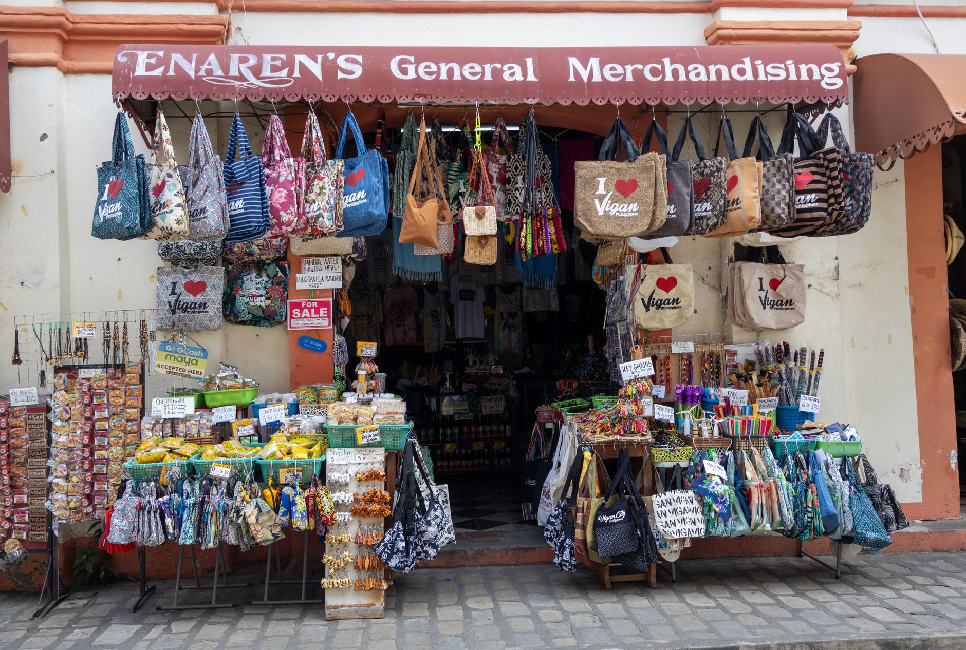
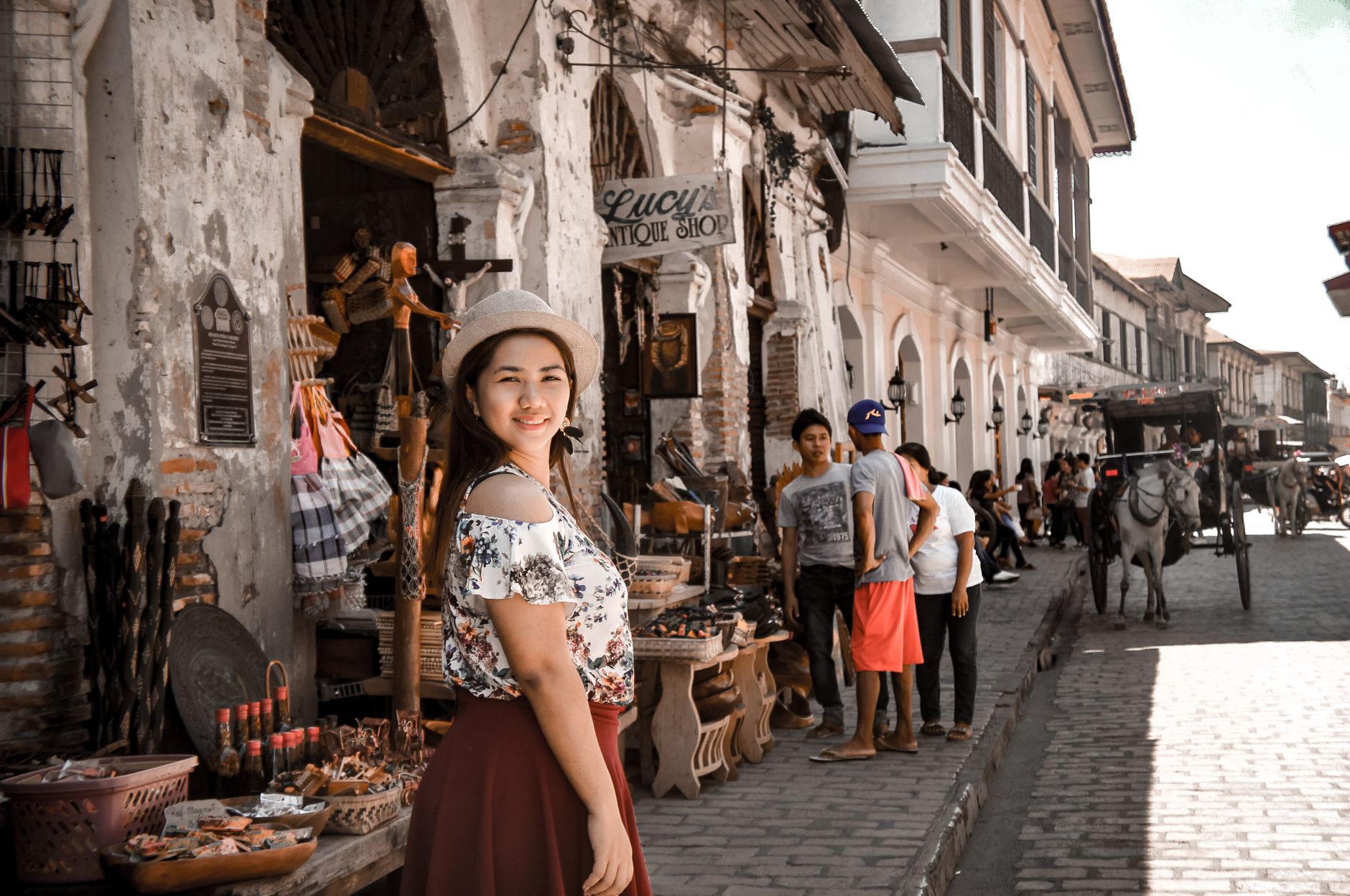
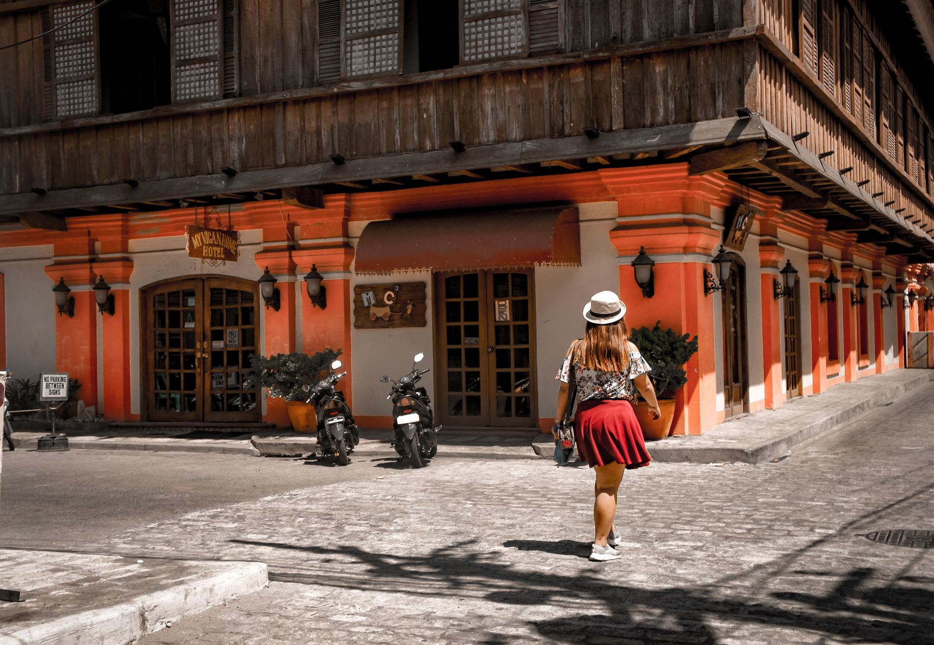
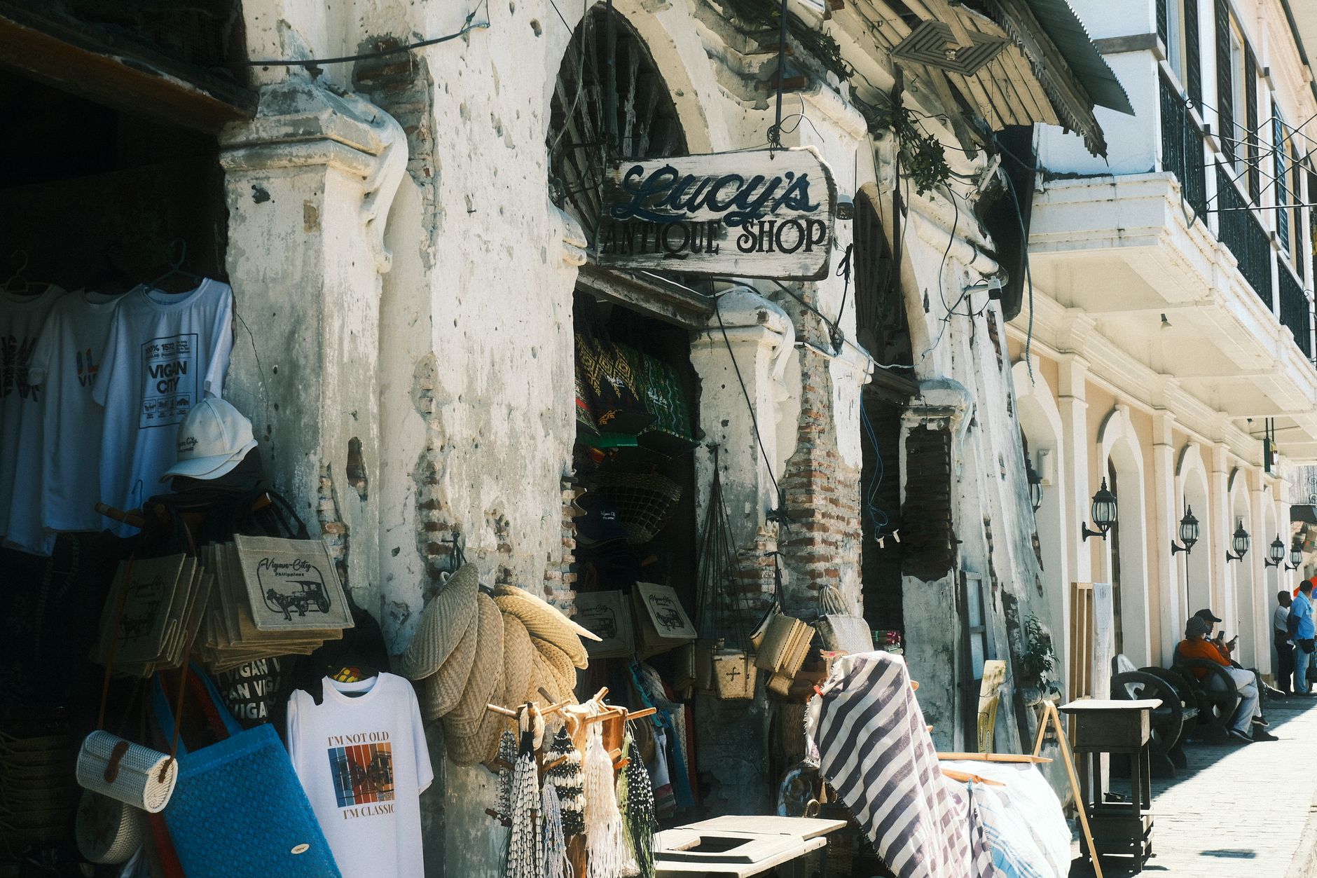
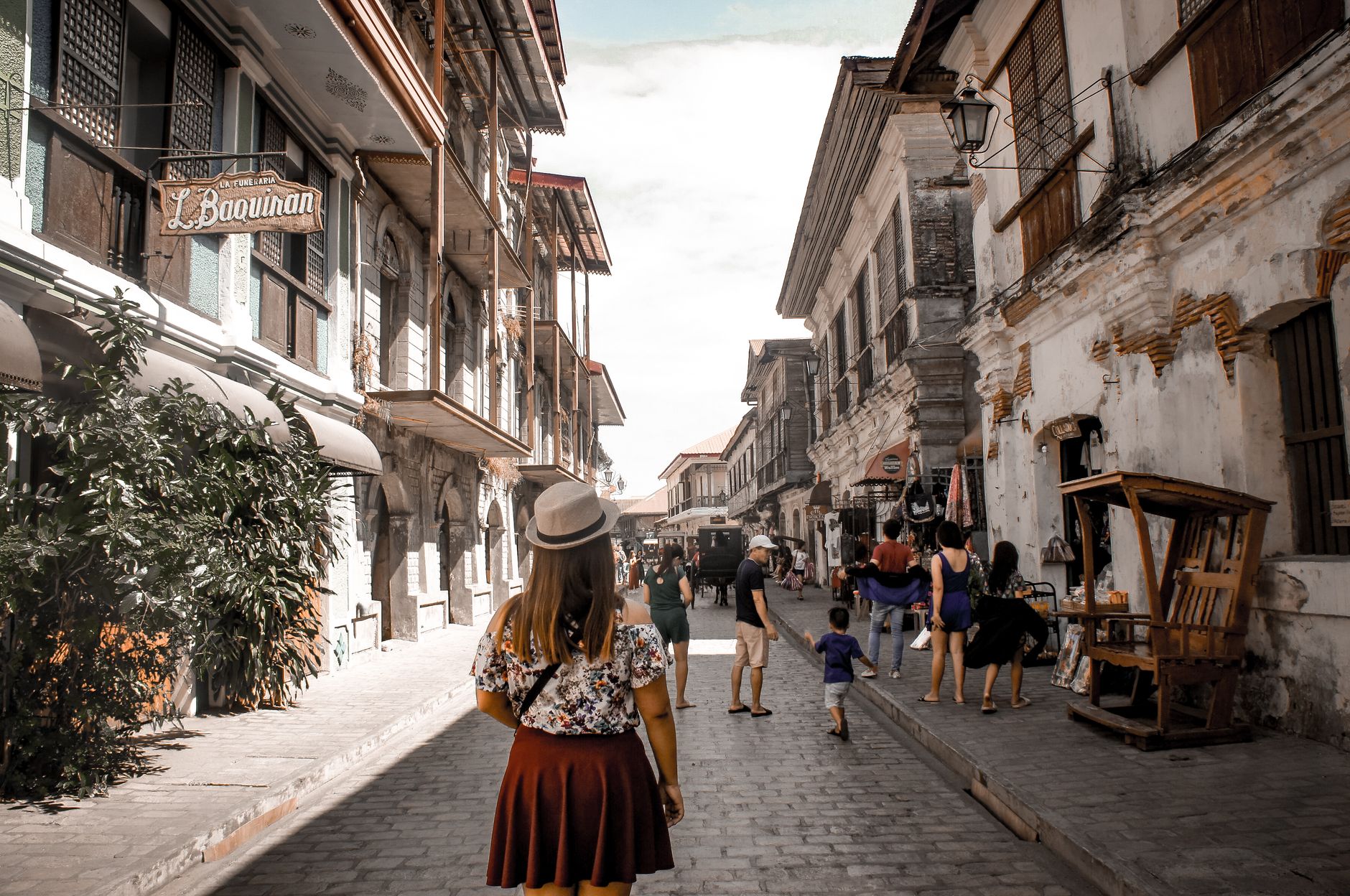
Vigan's streets are paved with cobblestones worn smooth by centuries of calesa wheels, and that texture underfoot is your first clue that this city in northern Luzon operates on a different clock. Two-storey stone-and-brick houses line the grid of the Mestizo district, their upper floors enclosed in sliding panels of translucent kapis shell that filter afternoon light into something amber and soft.
The city holds the largest intact Spanish colonial townscape in Asia — 233 historic buildings across 25 streets — and walking among them feels less like visiting a museum than stumbling into an argument between centuries that never quite got resolved.
How Vigan came to be
Long before Spanish galleons arrived, Chinese junks sailed up the Mestizo River to trade gold, beeswax, and mountain goods from the Cordilleras. In June 1572, the conquistador Juan de Salcedo — grandson of the archipelago's first governor-general — founded a settlement he named Villa Fernandina de Vigan. He laid out its grid, and the town grew into the political and religious capital of Northern Luzon, a role formalized in 1758 when the Diocese of Nueva Segovia relocated here.
The 18th and 19th centuries brought Vigan's architectural golden age, as wealthy Chinese mestizos who controlled the indigo and textile trade built the bahay na bato — the hybrid stone-and-wood houses that still define the Mestizo district today. UNESCO recognized the city in 1999 as the best-preserved example of a Spanish colonial town in Asia. A 7.0-magnitude earthquake in July 2022 damaged the cathedral and several historic structures, and some restoration work continues.
Who and what shaped it
People who shaped it
Landmark buildings
See Vigan in motion
Plan your visit
On the map
When to go
The dry season runs roughly November through April — the clearest window for walking the streets without interruption. The wet season brings typhoon risk from July onward, and while Vigan sits inland enough to escape the worst, heavy rain can make the cobblestones treacherous and dampen access to outdoor sites.
Right now
Background & history adapted from Wikipedia (CC BY-SA) · specs from Wikidata (CC0) · weather from Open-Meteo · map data © OpenStreetMap contributors · photos from Wikimedia Commons / Unsplash with per-image credit. No third-party reviews or social posts reproduced.