
Coron, Palawan
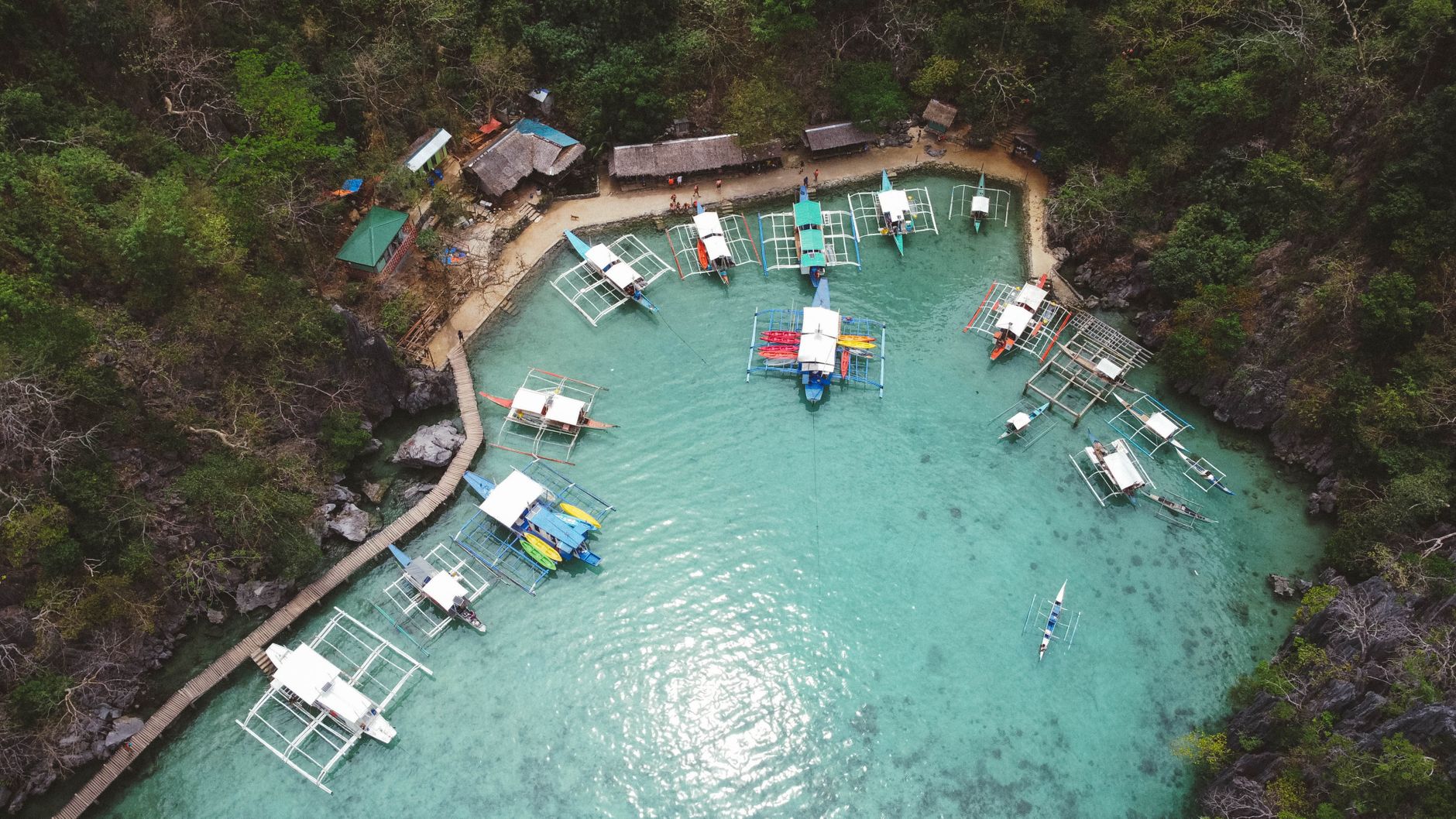
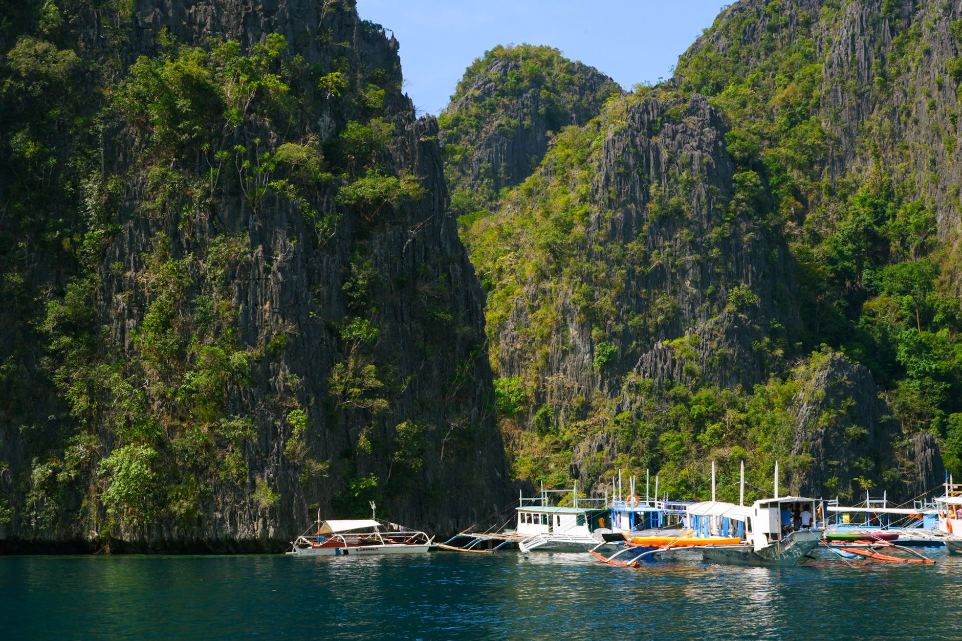
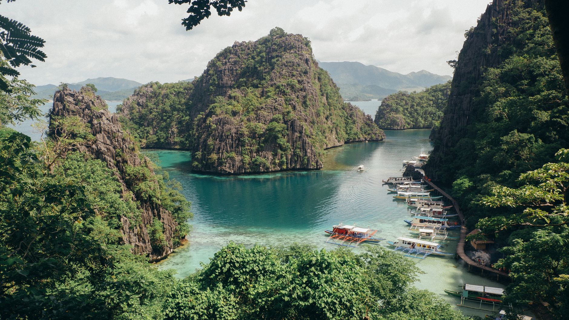
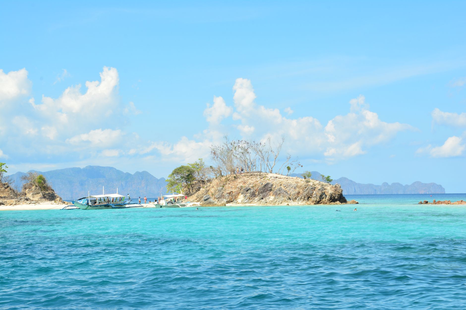
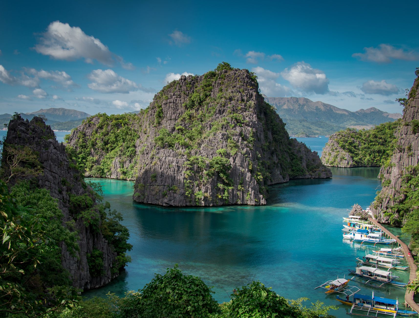
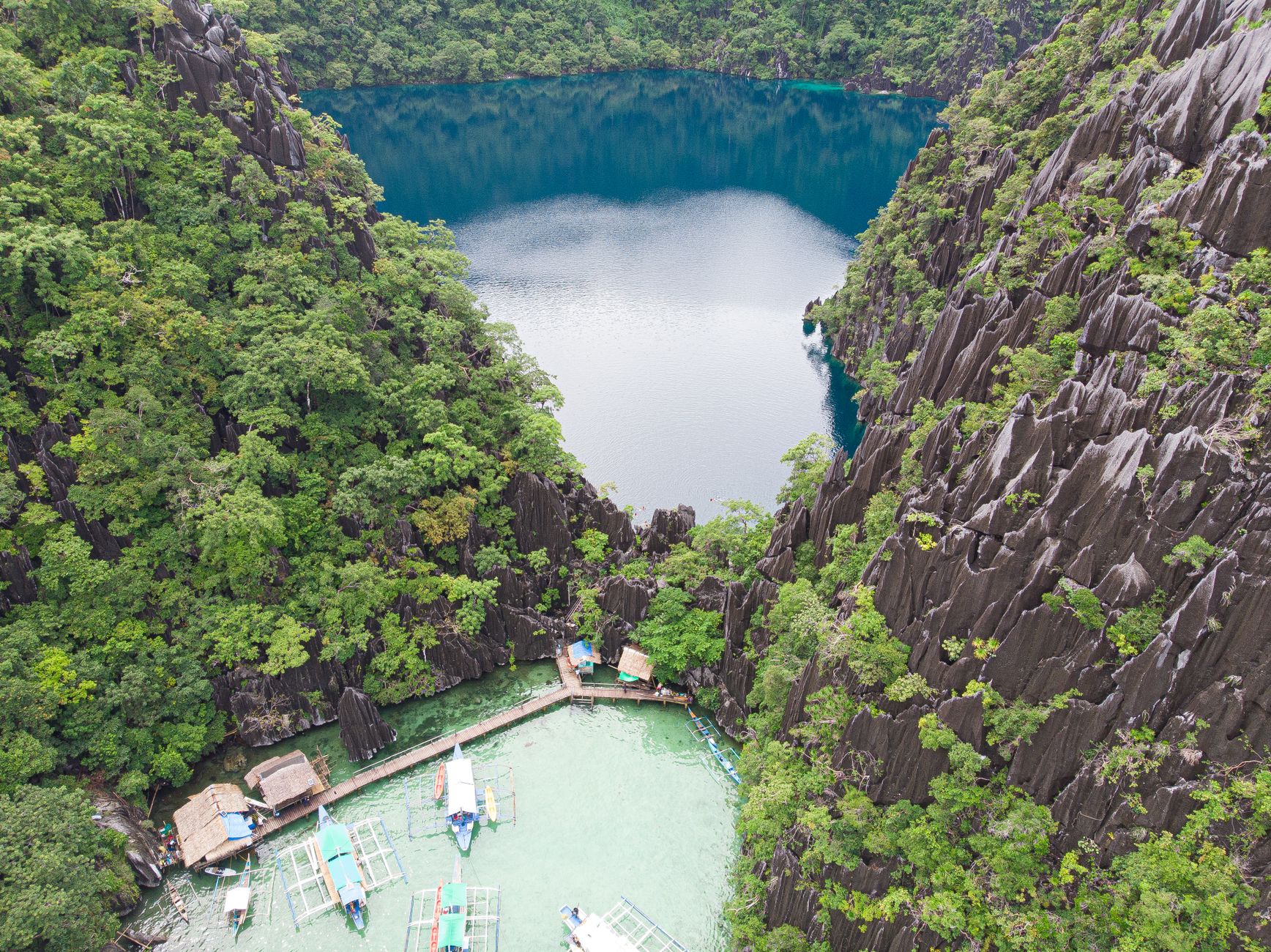
Coron sits at the northern end of Palawan, a municipality of limestone karst, shipwrecks, and freshwater lakes that somehow occupy the same small stretch of sea. The name comes from the Tagbanua word corong — a cooking pot — and the town itself has that quality: everything concentrated, layered, slow to give up its contents.
Most people arrive for the diving. Dozens of Japanese vessels sunk in a single American bombing raid on September 24, 1944 now lie across the seabed around Busuanga, colonised by coral and fish. But above water, Kayangan Lake and Twin Lagoon draw equal crowds, and Mount Tapyas offers the clearest orientation to it all.
How Coron, Palawan came to be
Before the Spanish arrived, the islands were home to the Cuyunon and Tagbanua peoples, and the settlement was called Bancuang, after a palm that grew along the marshes. The Spanish renamed it Peñon de Coron, and by 1818 the first colonial families had established themselves — among them Doña Margarita and Don Martin Custodio, Mexican-origin settlers from Iloilo. The municipality was formally constituted on June 2, 1902, with Don Vicente Sandoval as its first president.
A church went up at San Miguel in 1907, built by Capitan Gabino Perez; its foundations are still visible, the walls having collapsed after WWII. The war defined this coast permanently. On the morning of September 24, 1944, more than a hundred American aircraft sank between 24 and 80 Japanese ships in a single raid — the wrecks that now make Coron one of the world's most distinctive dive destinations.
Who and what shaped it
People who shaped it
Landmark buildings
See Coron, Palawan in motion
Plan your visit
On the map
When to go
The dry season runs November through May, when seas are calm and visibility underwater is at its best; April and May are the hottest months, pushing above 33°C. From June through October, typhoons become a real possibility and rough weather can close dive sites for days at a stretch.
Right now
Background & history adapted from Wikipedia (CC BY-SA) · specs from Wikidata (CC0) · weather from Open-Meteo · map data © OpenStreetMap contributors · photos from Wikimedia Commons / Unsplash with per-image credit. No third-party reviews or social posts reproduced.