
Davao City
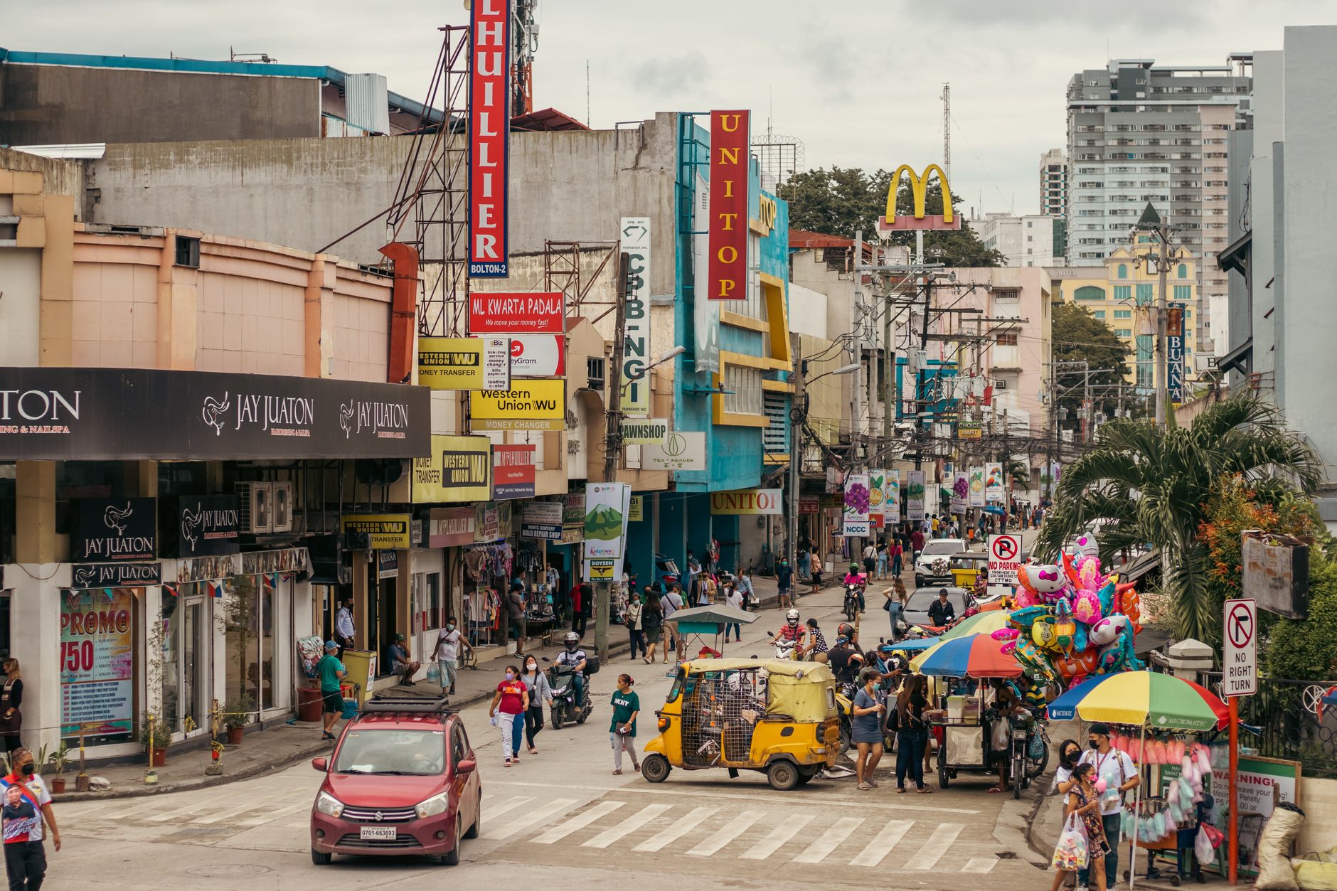
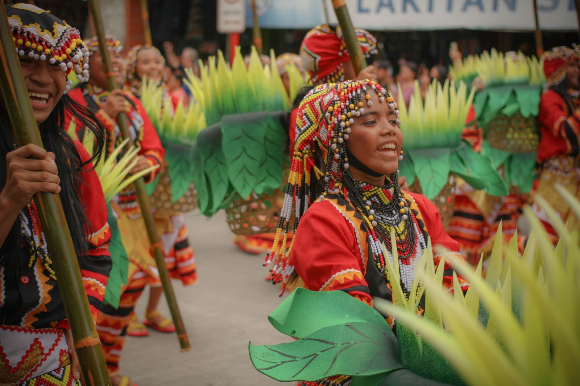
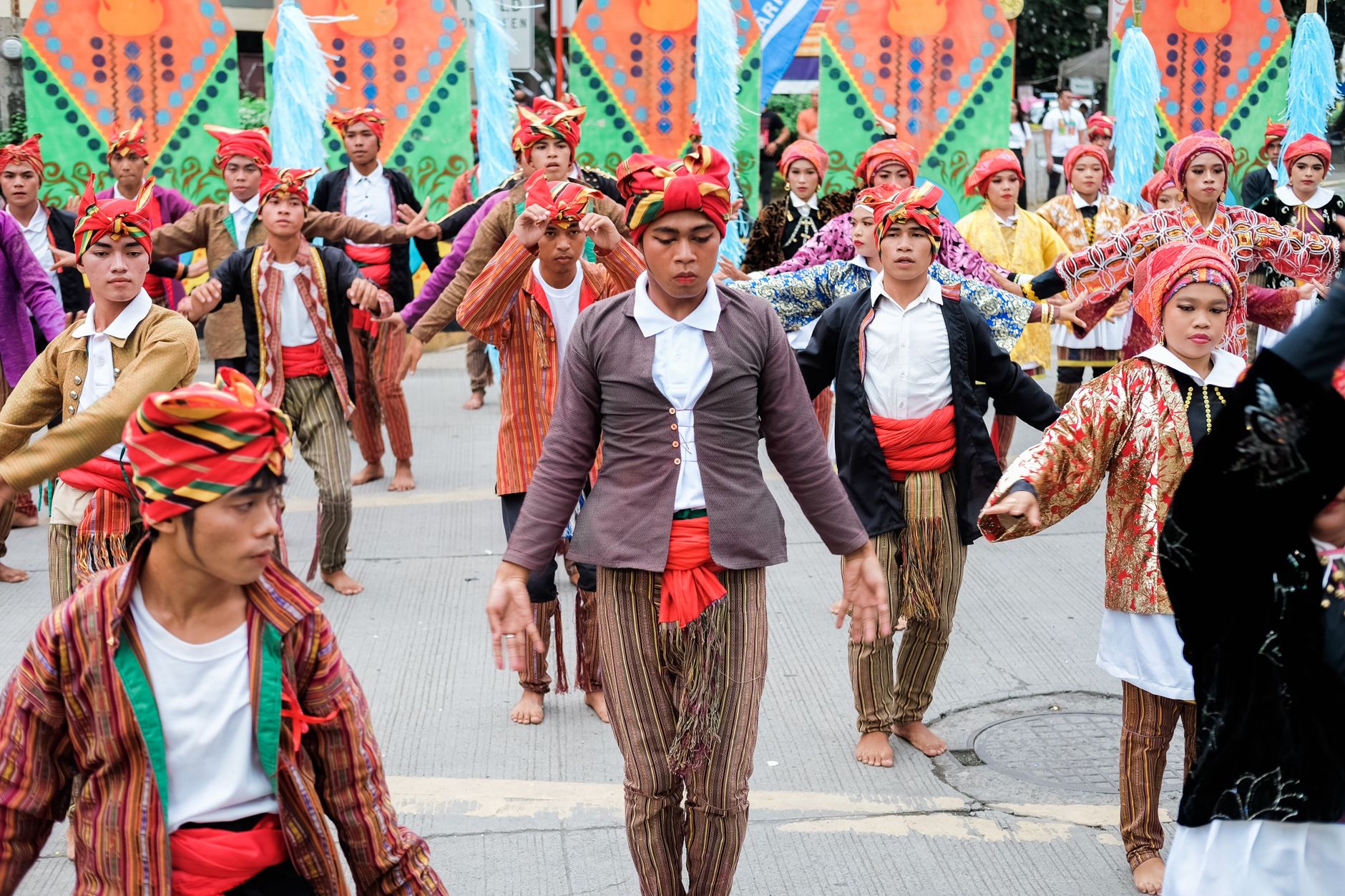
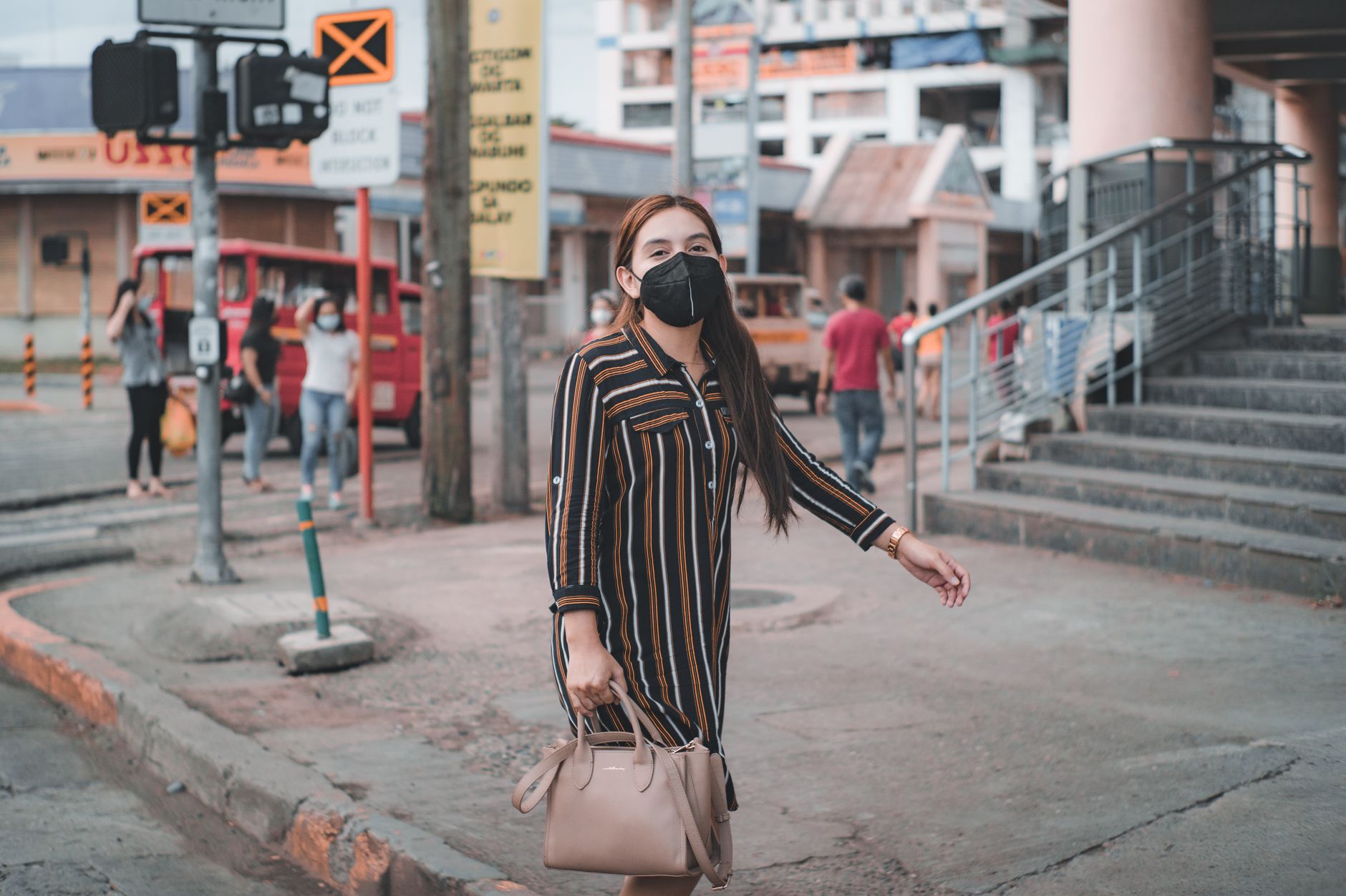
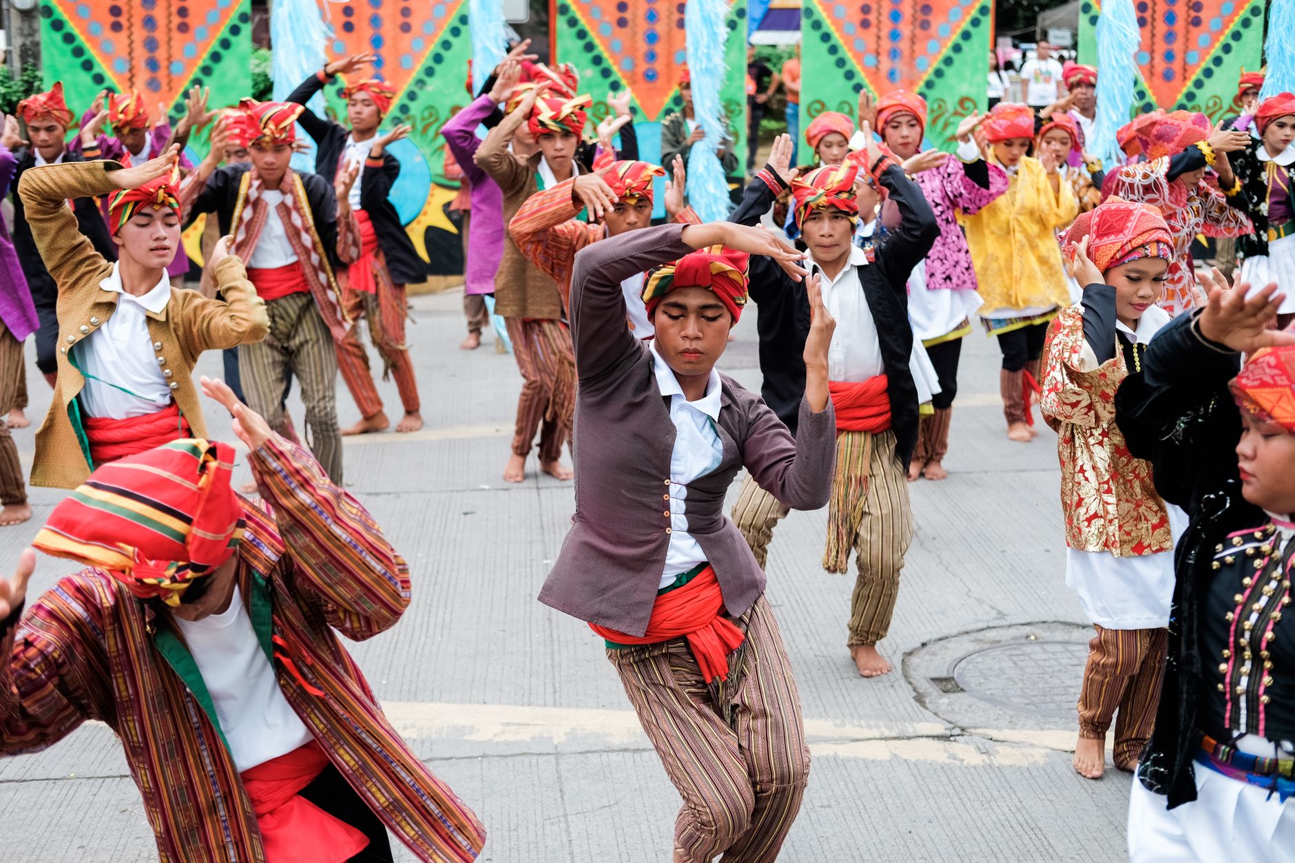
The name Davao comes from the river that runs through it — three Bagobo subgroups each had their own word for it, Dabo, Duhwow, Davoh, and the city inherited all three at once. That layering is still the point. Mindanao's largest city sits at the foot of Mount Apo, the Philippines' highest peak, and the markets here smell of durian before you see them: the fruit's sulfurous, custard-rich scent drifting from roadside stalls is as reliable a landmark as any building.
Davao operates on a scale that rewards slow exploration. The old Spanish cathedral on the plaza, the jeepneys threading downtown streets for pocket change, the produce arriving from surrounding farms — February through April is when the pace eases and the durian harvest fills the stalls.
How Davao City came to be
On June 29, 1848, the Spanish officer José Cruz de Oyanguren founded a settlement in the mangrove swamps along the Davao River and called it Nueva Vergara. Within two years it was the capital of the newly created Province of Nueva Guipúzcoa, though that province was dissolved by 1860 and the territory reorganized as a Politico-Military Commandery. Local residents petitioned to rename it Davao in 1867, reaching back to the river's older names.
The early twentieth century brought Japanese agricultural entrepreneurs — most notably Ohta, whose plantation operations drew what became one of Southeast Asia's largest Japanese communities before the Second World War. The Japanese bombed the city on December 8, 1941, and occupied it through the war years; the tunnels they dug in the Matina district are still there. Davao was formally chartered as a city on March 1, 1937, and in 1967 the surrounding province was divided into three — Davao del Norte, Davao del Sur, and Davao Oriental — leaving the city as its own distinct entity.
Who and what shaped it
People who shaped it
Landmark buildings
See Davao City in motion
Plan your visit
On the map
When to go
Davao sits in an equatorial belt that keeps temperatures between 27°C and 29°C year-round, with the heaviest rains falling May through January. February to April is the driest stretch — still warm and humid, but with fewer downpours and the added draw of durian season; the city also lies outside the main typhoon corridor, so serious storm disruptions are rare.
Right now
Background & history adapted from Wikipedia (CC BY-SA) · specs from Wikidata (CC0) · weather from Open-Meteo · map data © OpenStreetMap contributors · photos from Wikimedia Commons / Unsplash with per-image credit. No third-party reviews or social posts reproduced.