
Ilocos Region
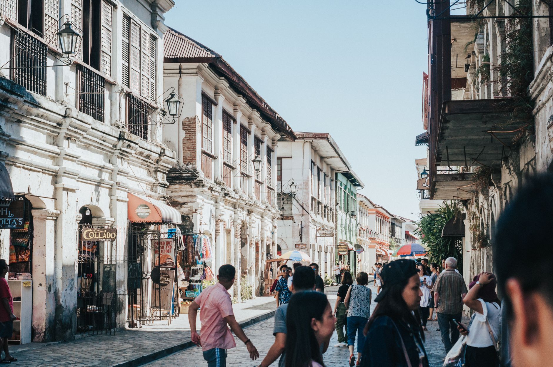
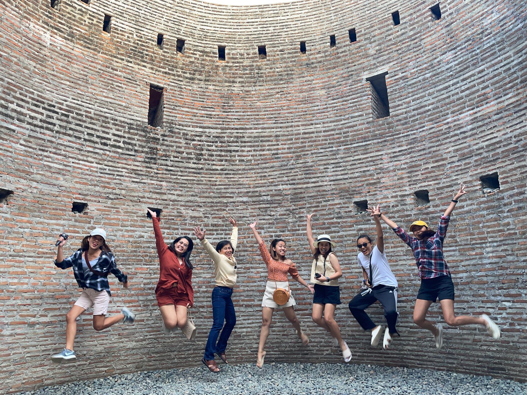
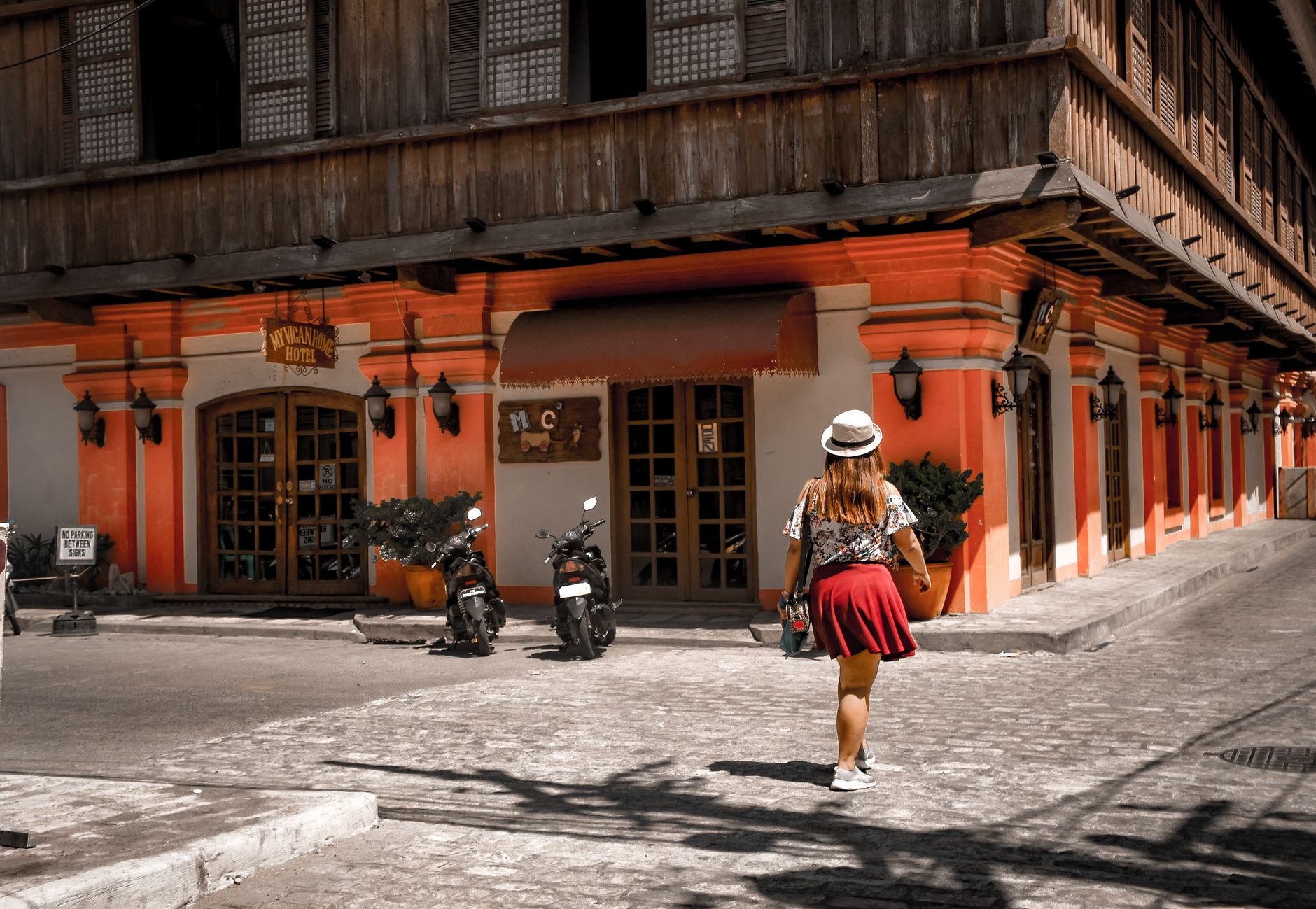
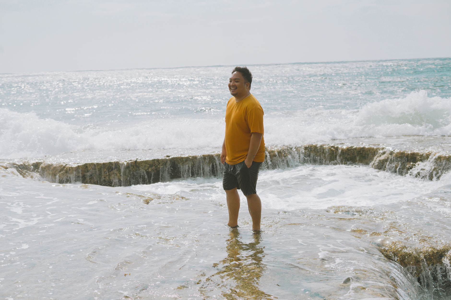
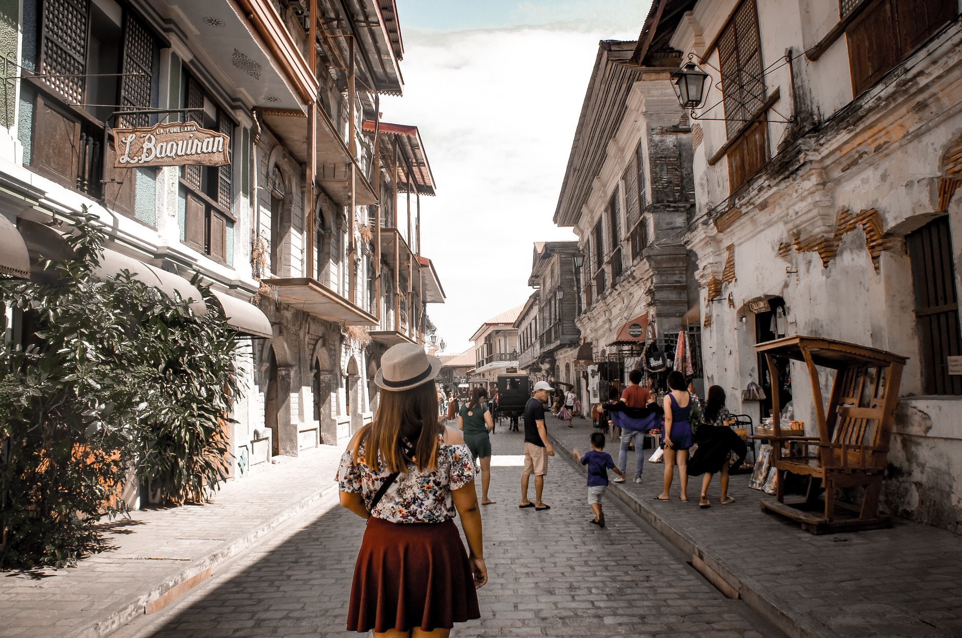
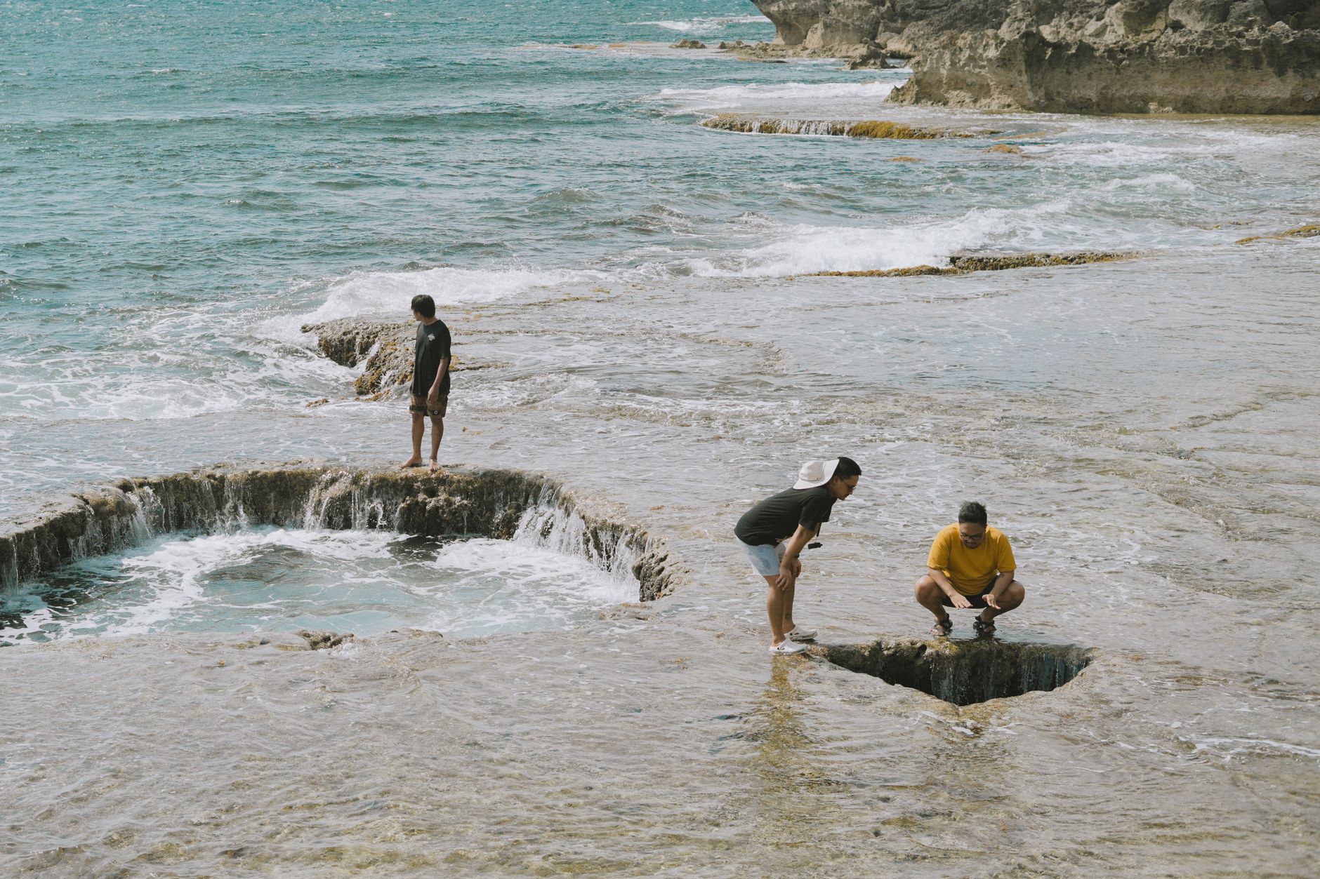
The Ilocos Region runs down the northwest spine of Luzon, hemmed between the South China Sea and the Cordillera mountains. Before the Spanish arrived, Chinese and Japanese merchants were already here, trading ceramics and silk for gold along this coast. That long commercial and colonial accumulation left things behind: baroque churches built from coral and brick, cobblestone streets in Vigan that have outlasted empires, sand dunes that roll toward the sea at La Paz.
Four provinces make up the region today — Ilocos Norte, Ilocos Sur, La Union, and Pangasinan — and each has a different texture. Vigan rewards slow walking. The dunes and rock formations of the north reward getting dusty. The Hundred Islands in Lingayen Gulf reward getting wet.
How Ilocos Region came to be
Long before Spanish galleons appeared offshore, Ilocano settlements traded with Chinese and Japanese merchants — gold, beeswax, and forest goods moving through ports that left almost no written record. That changed on June 13, 1572, when Spanish explorer Juan de Salcedo landed near present-day Vigan and named the territory Ylocos. The colonial machinery followed quickly: missions, churches, and a gridded town plan that survives in Vigan to this day.
The region was carved and redrawn across centuries — Ilocos Norte and Ilocos Sur separated in 1818, La Union created by royal decree in 1854, and the modern Region I formally established by presidential decree on September 24, 1972. Two presidents were born here, and the painter Juan Luna, whose Spoliarium hangs in Manila, grew up in Badoc.
Who and what shaped it
People who shaped it
Landmark buildings
See Ilocos Region in motion
Plan your visit
On the map
When to go
The dry season runs roughly November through April, which is the most comfortable window for traveling the coastal roads and exploring Vigan on foot. The wet season brings heavy rains and occasional typhoons between July and October, when some roads in the north can become difficult.
Right now
Background & history adapted from Wikipedia (CC BY-SA) · specs from Wikidata (CC0) · weather from Open-Meteo · map data © OpenStreetMap contributors · photos from Wikimedia Commons / Unsplash with per-image credit. No third-party reviews or social posts reproduced.