
Davao Region
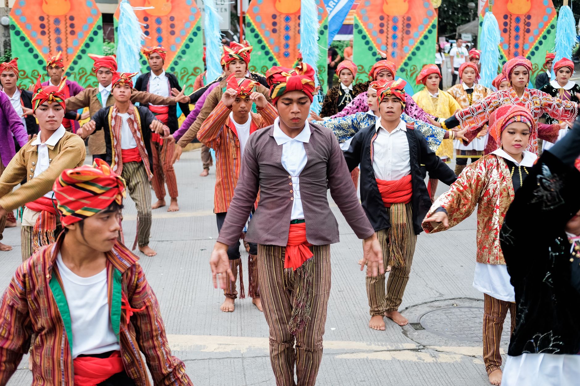
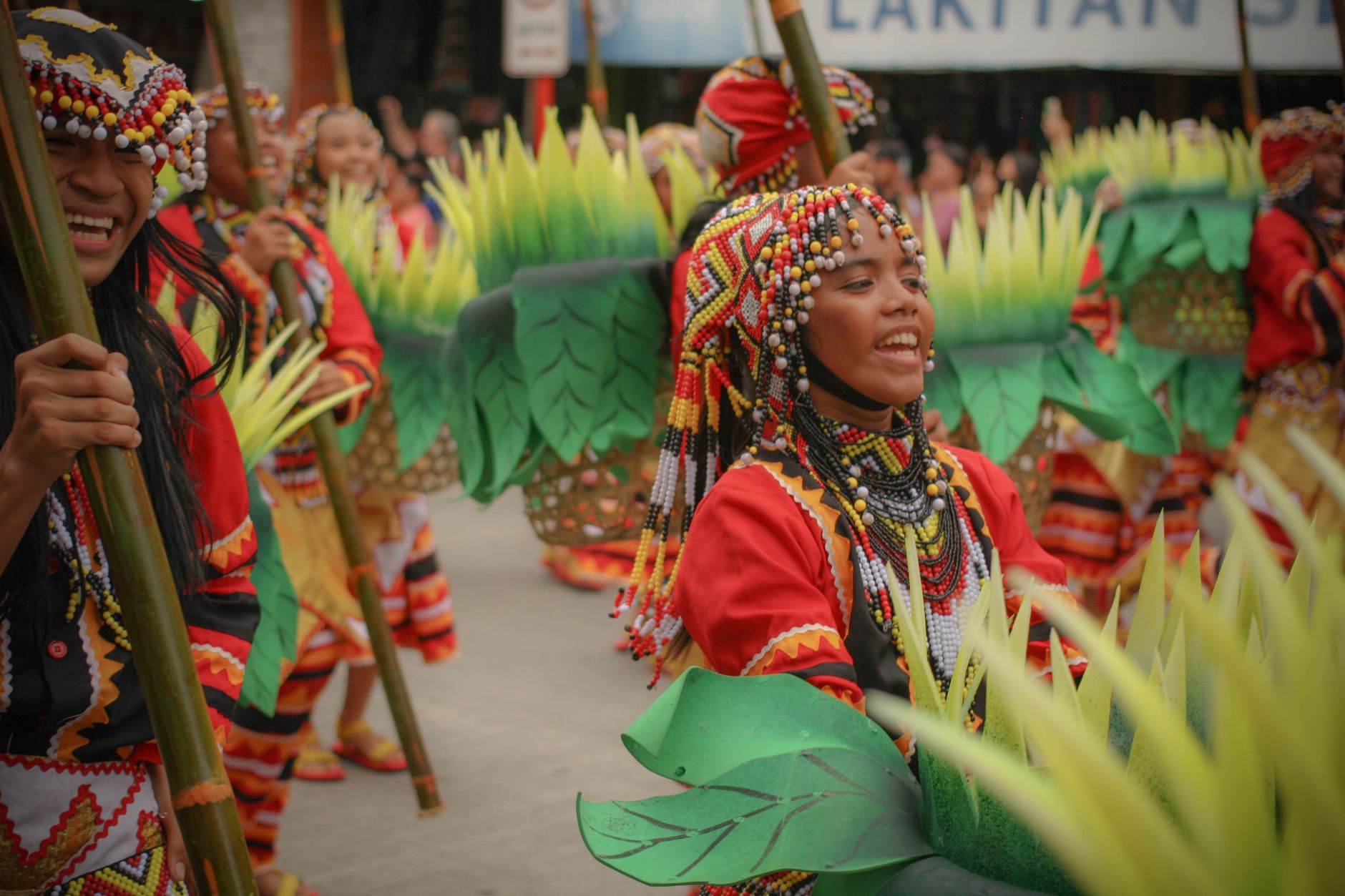
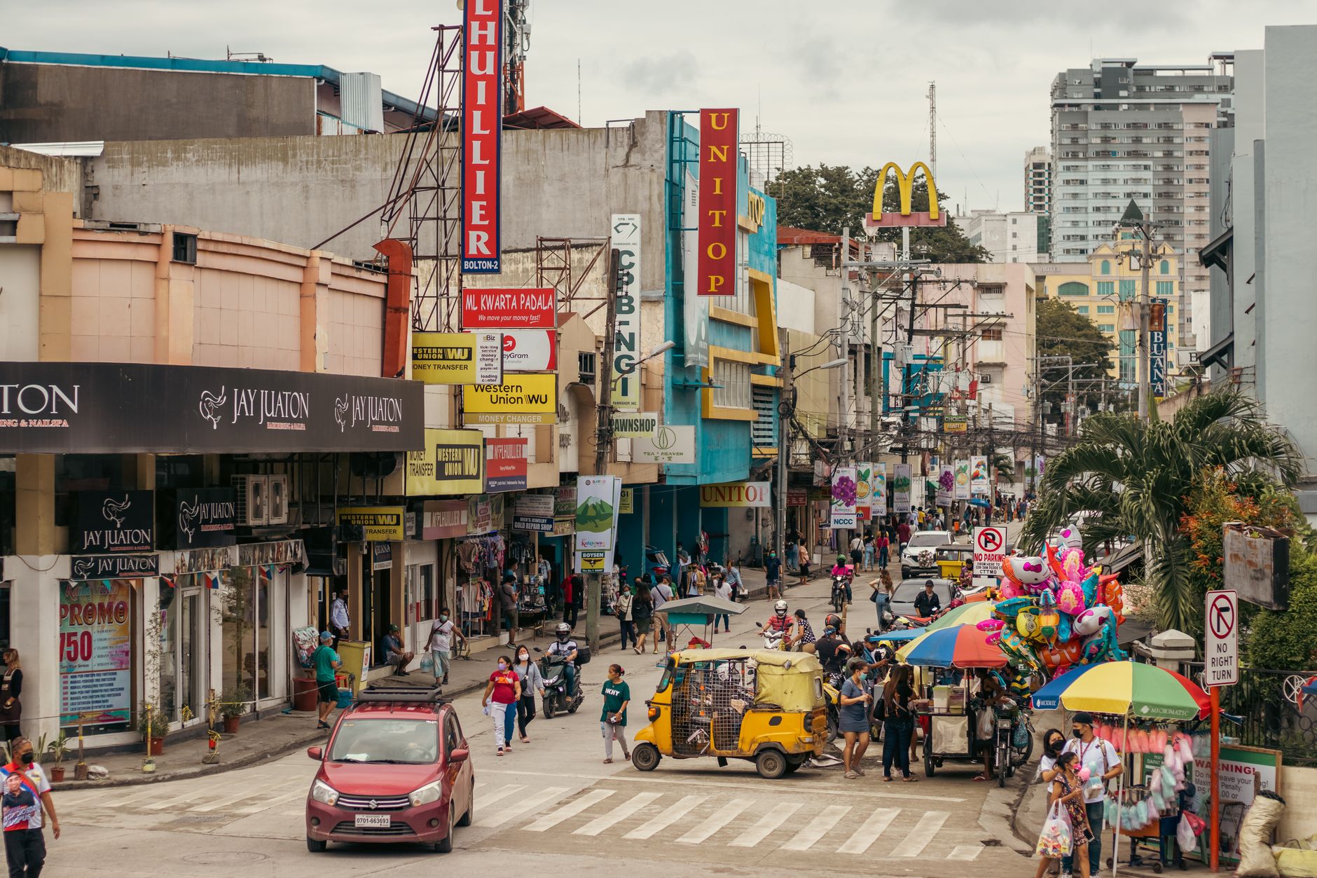
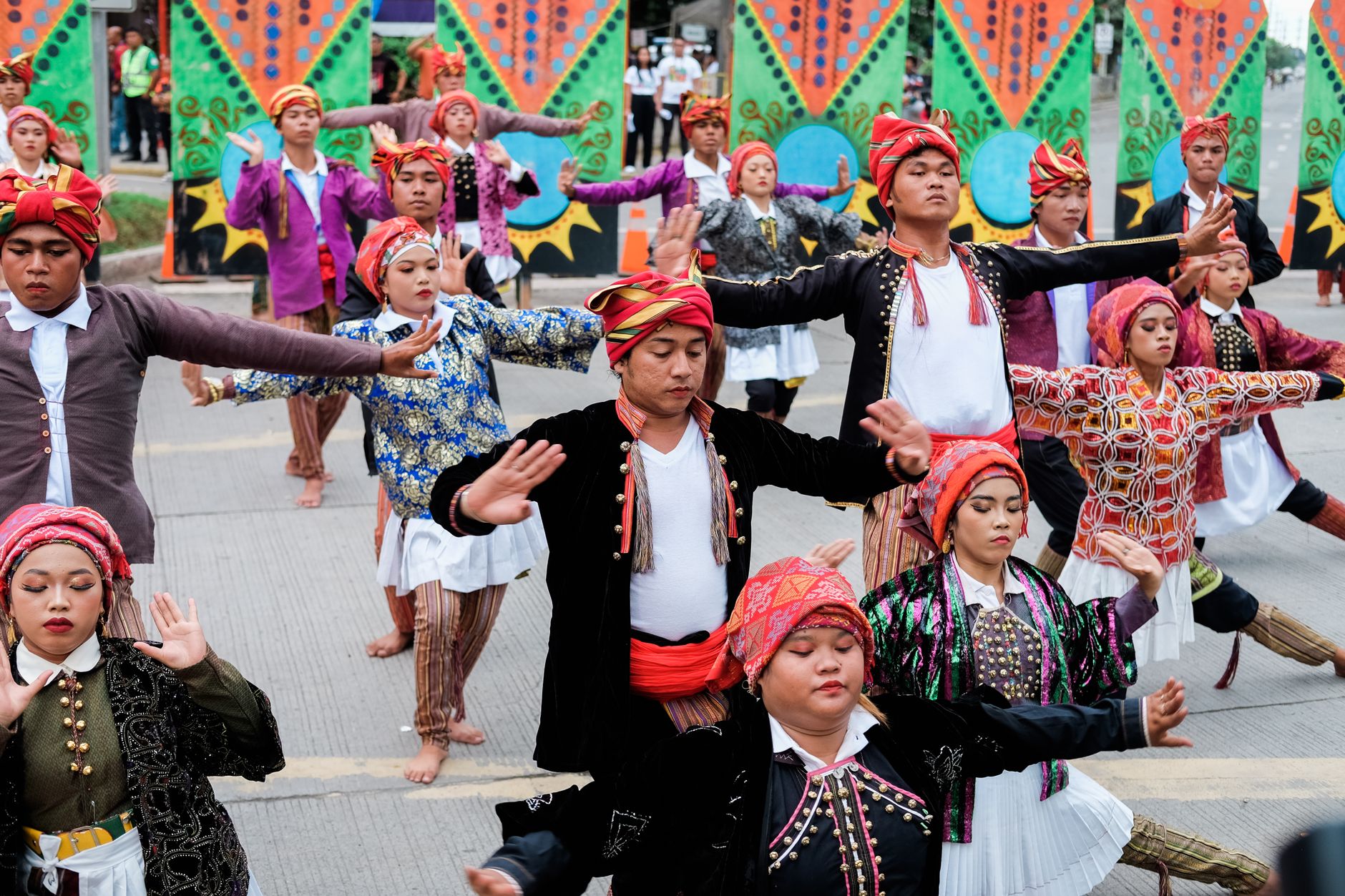
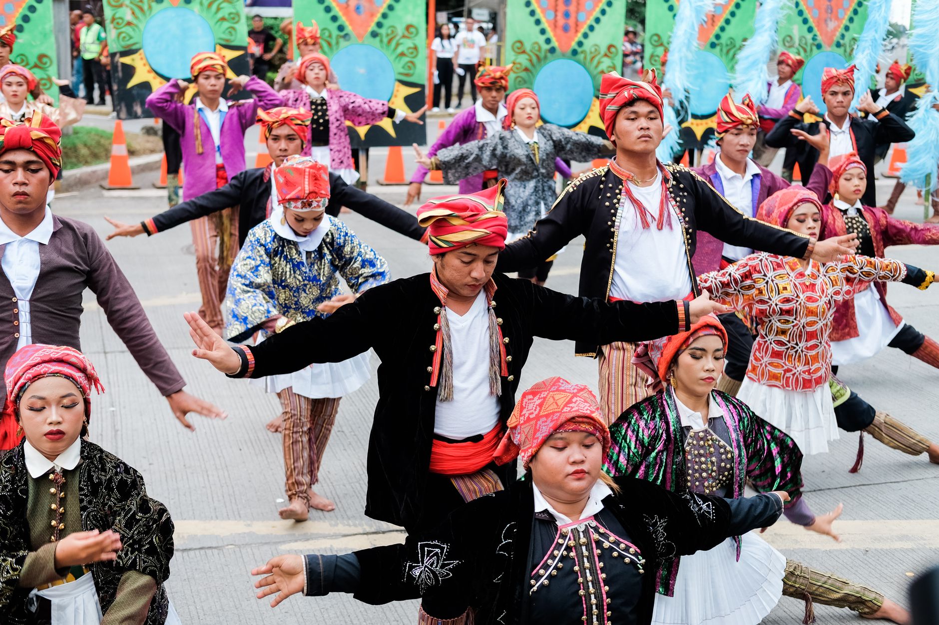
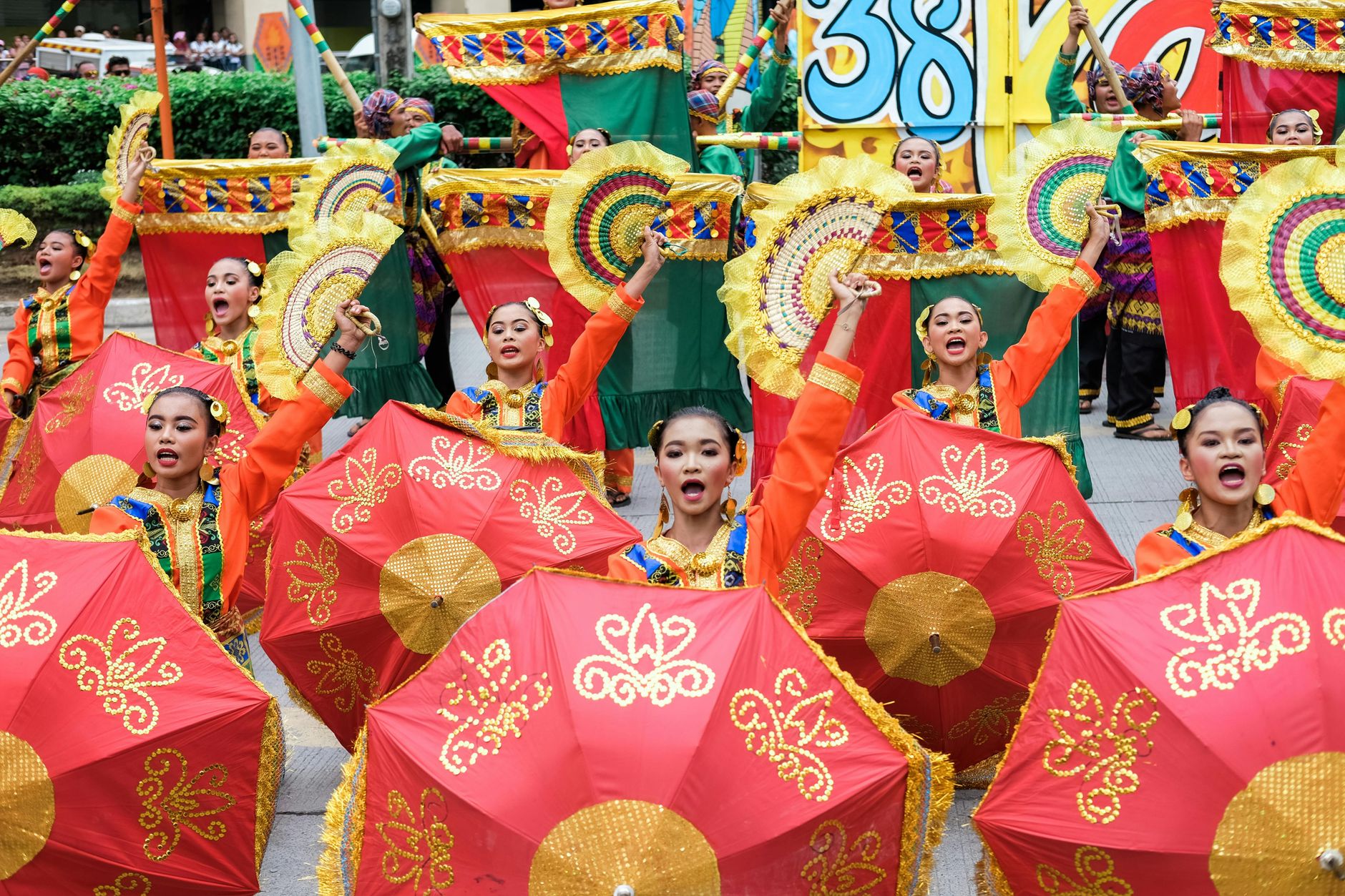
The name Davao came from the river — or rather from the three Bagobo subgroups who each had their own word for it, sounds that Spanish tongues eventually blurred into one. That etymology tells you something about this region: it has always been a place where different peoples arrived, claimed land, and left a mark. The south of Mindanao draws less foot traffic than the island-hoppers' circuit to the north, which means you can move through it without the particular exhaustion of a place that knows it's being visited.
The region spreads across four provinces — Davao del Norte, Davao del Sur, Davao Oriental, and the youngest, Davao Occidental, created only in 2013 — fanning out from Davao City toward coastlines, highland farms, and the slopes of Mount Apo.
How Davao Region came to be
In 1848, Spanish entrepreneur José Oyanguren pushed into the Davao Gulf, defeated the local chieftain Datu Bago, and named his settlement Nueva Vergara. It was renamed Davao in 1867, and Christian missionaries followed in 1890 — though Spain's hold lasted barely fifty years before the Philippines changed hands in 1898. The Port of Davao opened in 1900, becoming the first international port in the Philippine south, and the region's economic character began to take shape.
In the early twentieth century, Japanese businessman Kyosaburo Ohta established abaca and coconut plantations through his Ohta Development Company, drawing one of the largest Japanese communities in pre-war Southeast Asia. Davao became a city in 1936, and the original single province eventually divided into three in 1967, then four with the creation of Davao Occidental in 2013.
Who and what shaped it
People who shaped it
Landmark buildings
See Davao Region in motion
Plan your visit
On the map
When to go
Davao Region sits outside the typhoon belt that regularly disrupts travel elsewhere in the Philippines, making it one of the more reliably visitable parts of the country year-round. March through May tends to be drier and hotter; the wetter months run from October through January, when short afternoon rains are common but rarely day-long.
Right now
Background & history adapted from Wikipedia (CC BY-SA) · specs from Wikidata (CC0) · weather from Open-Meteo · map data © OpenStreetMap contributors · photos from Wikimedia Commons / Unsplash with per-image credit. No third-party reviews or social posts reproduced.