
Camiguin
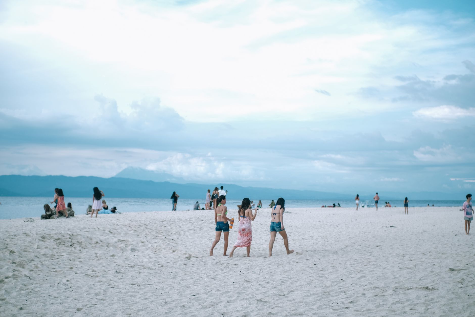
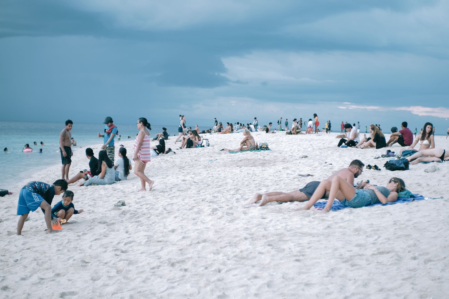
Camiguin is a small volcanic island in the Bohol Sea, roughly the size of a city district, yet it holds more volcanoes per square kilometre than anywhere else in the Philippines. The one you'll notice most is Mount Hibok-Hibok, rising to 1,332 metres and last active in 1953 — its heat still seeps into the Ardent Hot Springs at its base. Offshore, a concrete cross marks the spot where an entire cemetery slid beneath the sea after a nineteenth-century eruption.
You cross from Mindanao by ferry in about an hour and arrive at Benoni Wharf to find a place that rewards slow movement: waterfalls dropping into clear rock pools, a sandbar that dissolves into turquoise water at high tide, and cold springs whose mineral content gives the water an almost effervescent bite.
How Camiguin came to be
The island takes its name from the kamagong, a species of ebony tree. Its earliest inhabitants were the Manobo people, and the first Spanish contact came in March 1565 when Miguel López de Legazpi's fleet anchored off the west coast. The Jesuits founded Guinsiliban — the island's oldest town — in 1599. When the Augustinian Recollects arrived in 1622 under Fray Miguel de Santa Maria, they established four more towns, including Mambajao, which remains the provincial capital today.
The island's modern shape was formed by geology as much as by governance. A volcanic eruption in 1871 swallowed an entire coastal cemetery whole. Camiguin became its own province in 1966, formally inaugurated in 1968. Its ruins, submerged graves, and colonial church walls are not set pieces — they are the record of a place that has repeatedly been remade by the ground beneath it.
Who and what shaped it
People who shaped it
Landmark buildings
See Camiguin in motion
Plan your visit
On the map
When to go
Camiguin sits in a tropical rainforest climate with no true dry season, but February through May brings lighter rainfall and is the most comfortable window to visit — April is the driest and hottest month, peaking around 32°C. From July to October, expect heavy, persistent rain that can limit access to trails and the sandbar.
Right now
Background & history adapted from Wikipedia (CC BY-SA) · specs from Wikidata (CC0) · weather from Open-Meteo · map data © OpenStreetMap contributors · photos from Wikimedia Commons / Unsplash with per-image credit. No third-party reviews or social posts reproduced.