
Batangas
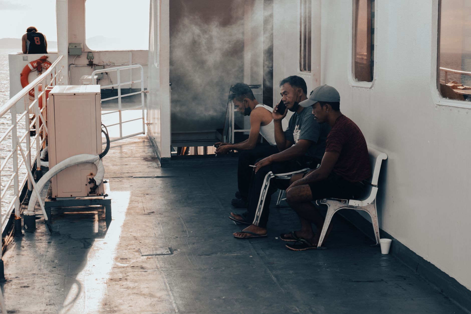
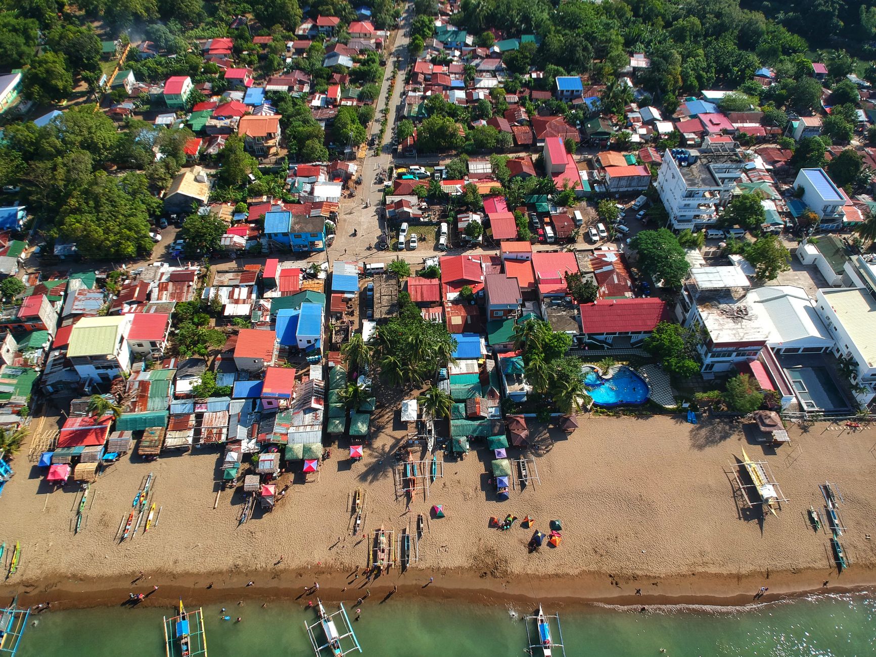
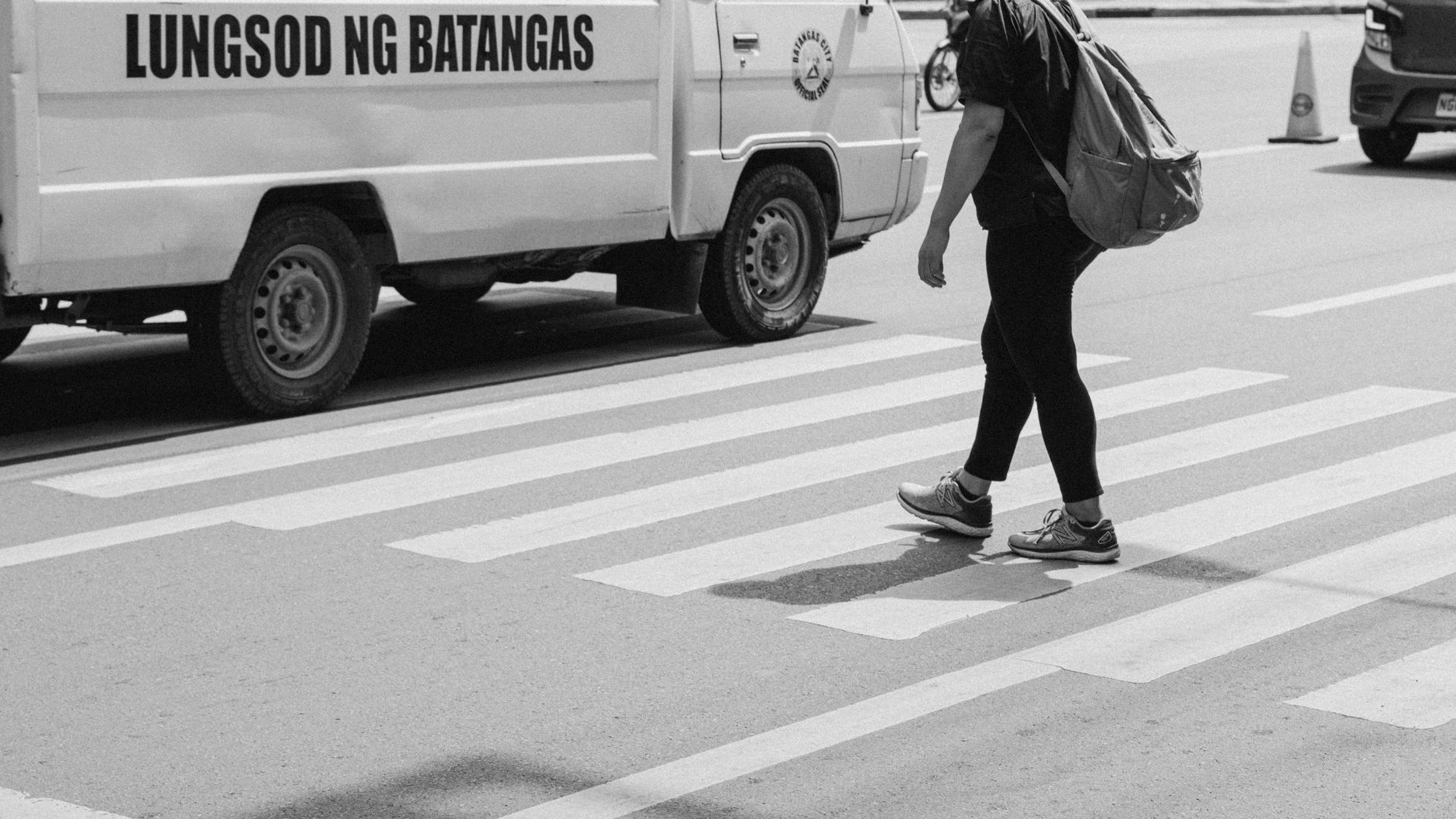
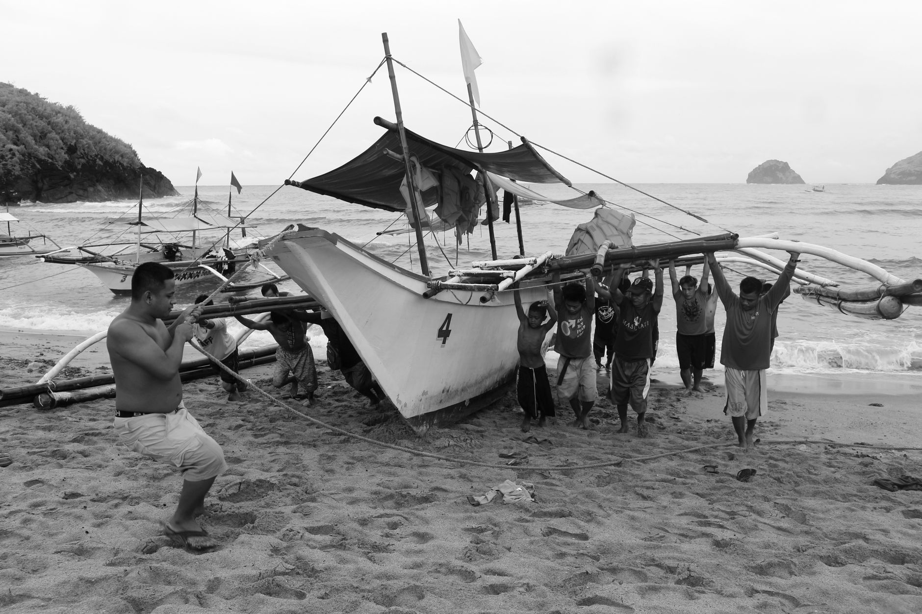
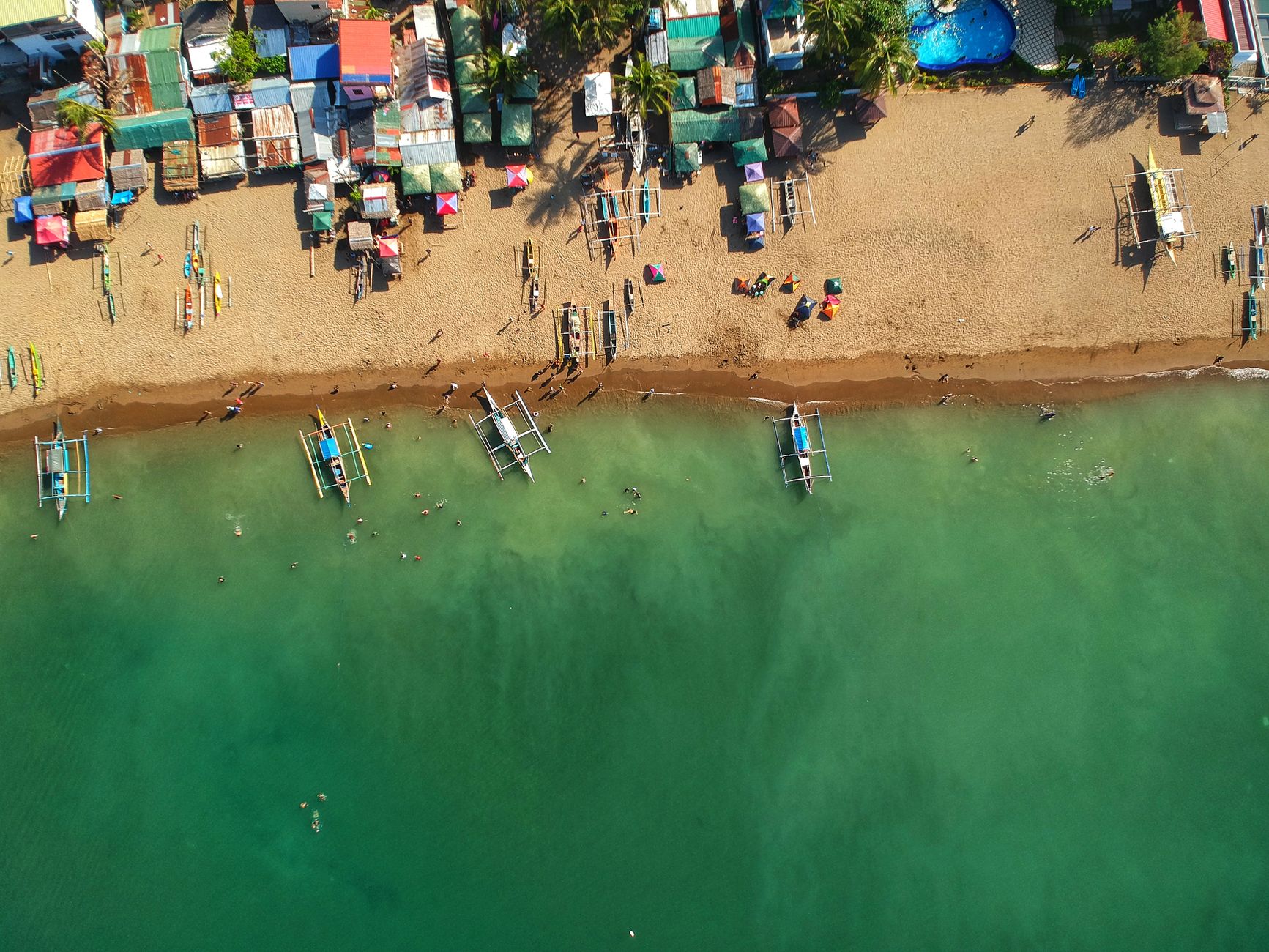
The name comes from the logs — batang — that once crowded the Calumpang River, which tells you something about how Batangas has always been read through what it produces and moves. Today the province still runs on that logic: coffee from Lipa, the sharpest knives in the archipelago from Balisong craftsmen, and ferry traffic funnelling through one of the country's busiest international ports toward Mindoro and Palawan. It is a province of genuine weight — historically, geographically, gastronomically.
Batangas sits about 100 kilometres south of Manila, close enough for a weekend but distinct enough to reward slower travel. Taal Volcano anchors the interior, its crater lake visible from ridge roads. The coastline along the Verde Island Passage has some of the richest marine biodiversity on the planet. The province moves between these two registers — volcanic interior, living sea — and the towns between them each carry their own particular character.
How Batangas came to be
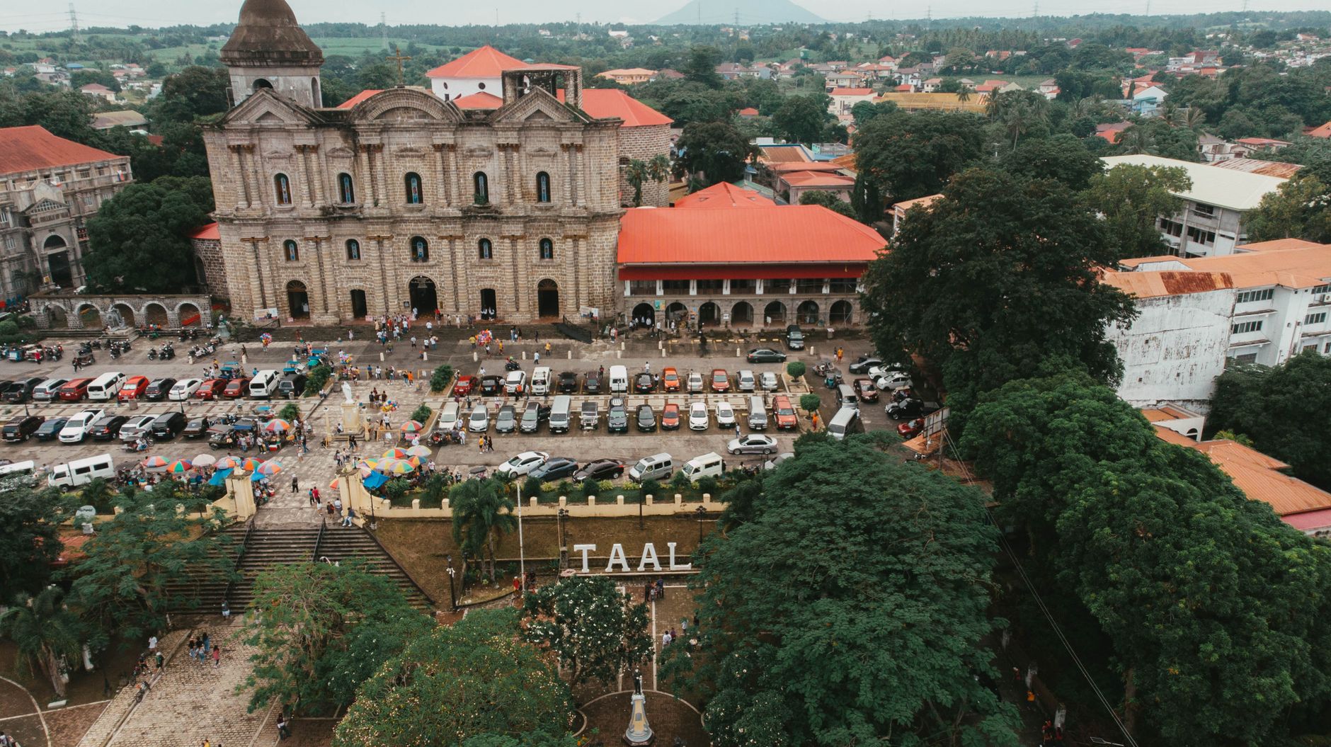
Spanish forces under Martín de Goiti and Juan de Salcedo reached the Batangas shore in 1570, and the town of Taal was founded two years later. The province was formally organized in 1581 under the name Balayan, with Franciscan friars — among them Fr. Esteban Ortiz and Fr. Juan de Porras — establishing parishes that still stand. The capital moved from Balayan to Taal in 1732, then again to present-day Batangas City in 1754 after Taal Volcano's eruptions made Taal untenable.
The province shaped the Philippine Revolution in outsized ways. Apolinario Mabini, the movement's chief strategist, was born here. Marcela Agoncillo sewed the first Philippine flag in Hong Kong. General Miguel Malvar, a Batangueño, was the last Filipino commander to lay down arms against American forces — holding out until 1902.
Who and what shaped it
People who shaped it
Landmark buildings
See Batangas in motion
Plan your visit
On the map
When to go
Batangas follows the Philippine pattern: a dry season from roughly November through April and a wetter stretch from May through October, when typhoons can occasionally track through. The coolest, clearest months for coastal diving and inland sightseeing are December through February.
Right now
Background & history adapted from Wikipedia (CC BY-SA) · specs from Wikidata (CC0) · weather from Open-Meteo · map data © OpenStreetMap contributors · photos from Wikimedia Commons / Unsplash with per-image credit. No third-party reviews or social posts reproduced.