
Leyte
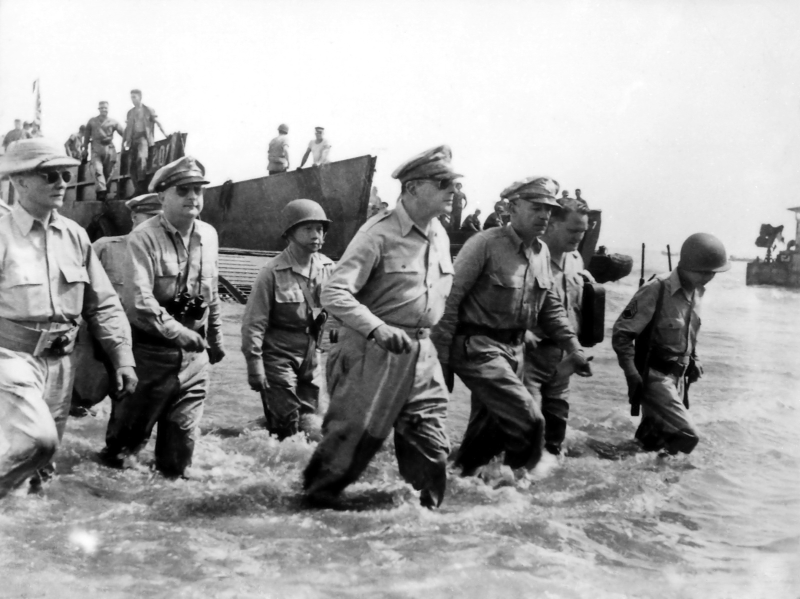
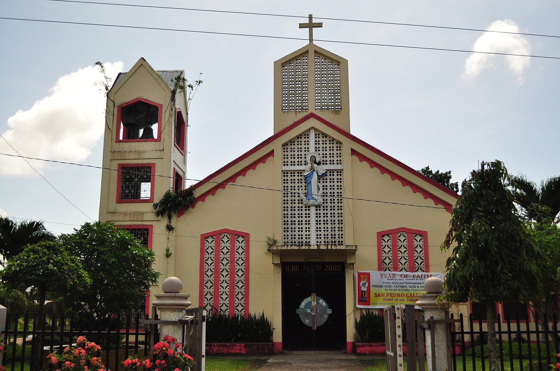
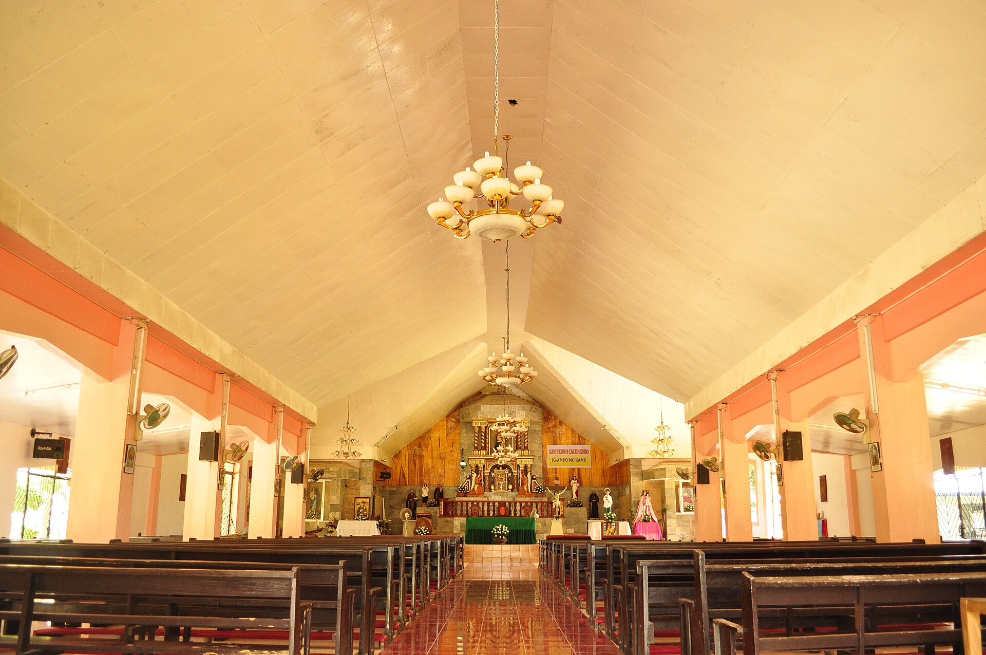
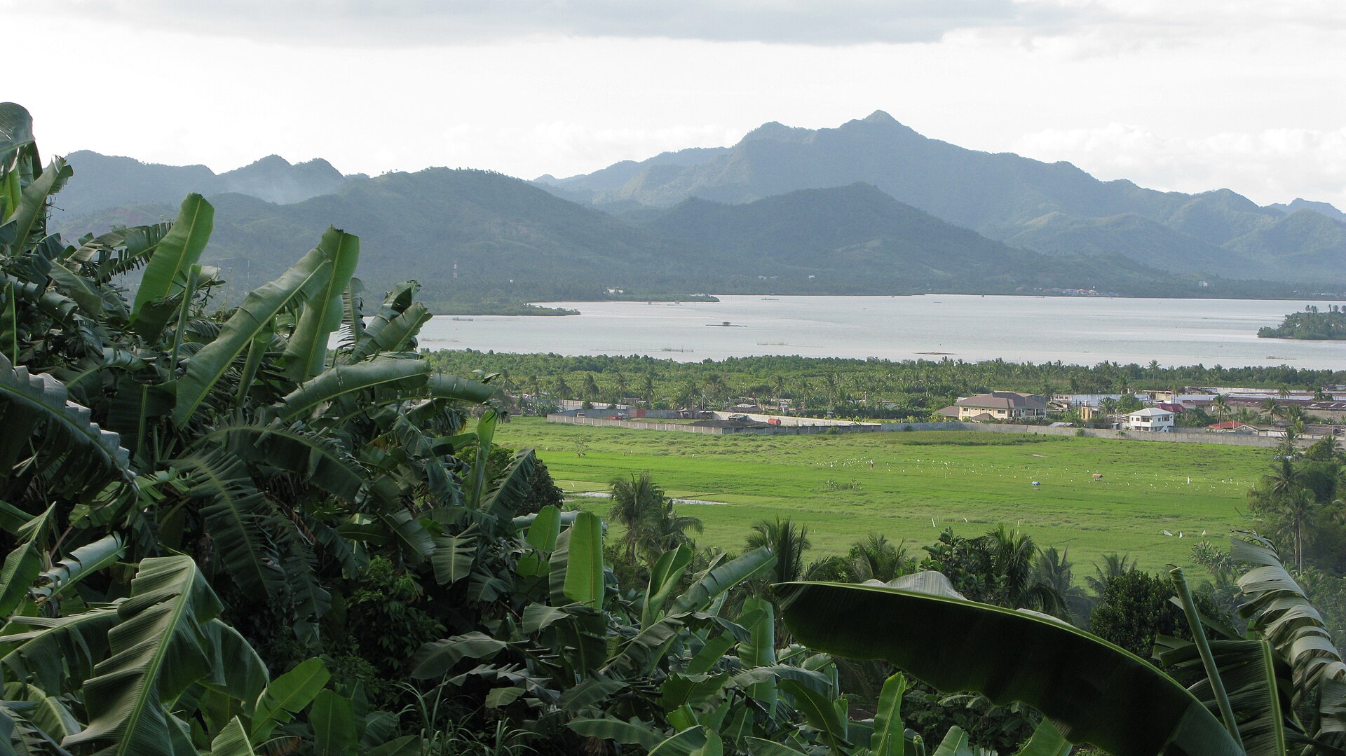
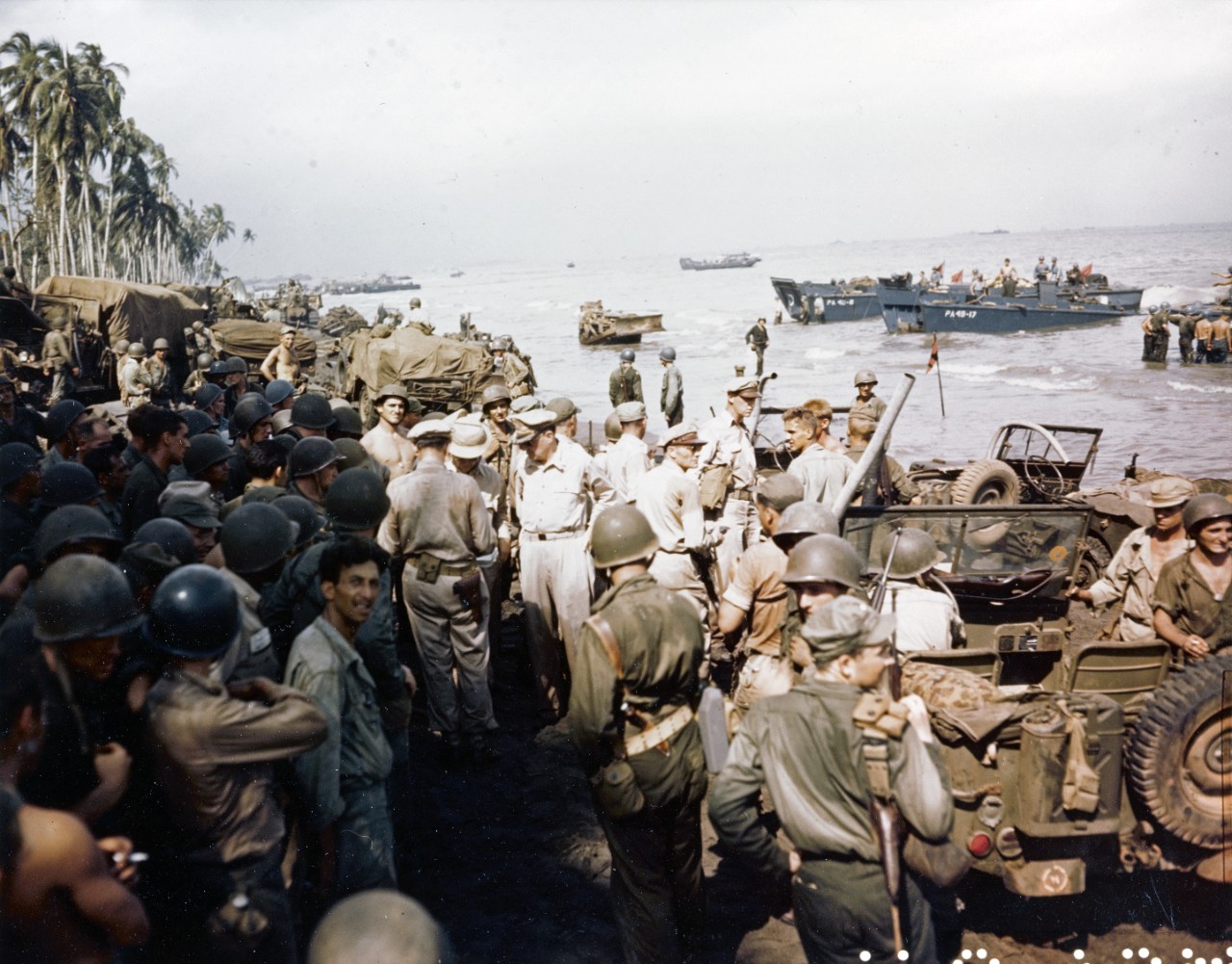
Leyte is the island where Philippine history keeps arriving in waves. Ferdinand Magellan landed at Limasawa in March 1521, and the first Christian mass on Asian soil was said here three days later. More than four centuries on, General Douglas MacArthur waded ashore at Red Beach in Palo, and the largest naval battle of the modern era unfolded in the waters just offshore. The island carries all of that — and the memory of Typhoon Yolanda in 2013 — without collapsing under the weight of it.
What you actually find on the ground is quieter and more ordinary: a long bridge arcing over green strait water, a crater lake shaped like a guitar, Jesuit-built churches still in use, and a coast that sees far fewer visitors than the islands to the west.
How Leyte came to be
Spanish maps once labelled this island Tandaya. That changed on March 28, 1521, when Magellan anchored at Limasawa, and three days later Fr. Pedro de Valderamma celebrated what is recorded as the first Christian mass in the Orient. Spanish colonisation followed, reshaping the animist Waray and Visayan communities who had long divided the island between them.
Leyte's second defining moment came in October 1944. On the 20th, MacArthur waded ashore at Palo to fulfil his promise of return, and over the following three days the Battle of Leyte Gulf — 212 Allied ships against roughly 60 Japanese vessels — effectively ended Japan's naval power in the Pacific. Nearly seven decades later, on November 8, 2013, Super Typhoon Yolanda destroyed up to 80 percent of structures across the island and killed around 10,000 people. The Yolanda Memorial in Tacloban stands as a permanent reckoning with that day.
Who and what shaped it
People who shaped it
Landmark buildings
See Leyte in motion
Plan your visit
On the map
When to go
Leyte sits in the typhoon belt, with the eastern coast particularly exposed from October through December — Yolanda made landfall in November. The drier, calmer months run roughly from March through May, though the island's interior stays green and humid year-round.
Right now
Background & history adapted from Wikipedia (CC BY-SA) · specs from Wikidata (CC0) · weather from Open-Meteo · map data © OpenStreetMap contributors · photos from Wikimedia Commons / Unsplash with per-image credit. No third-party reviews or social posts reproduced.