
Bicol Region
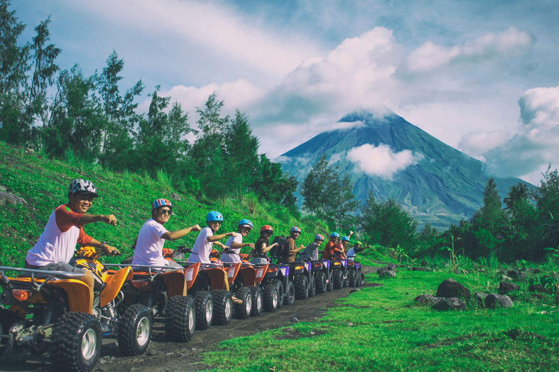
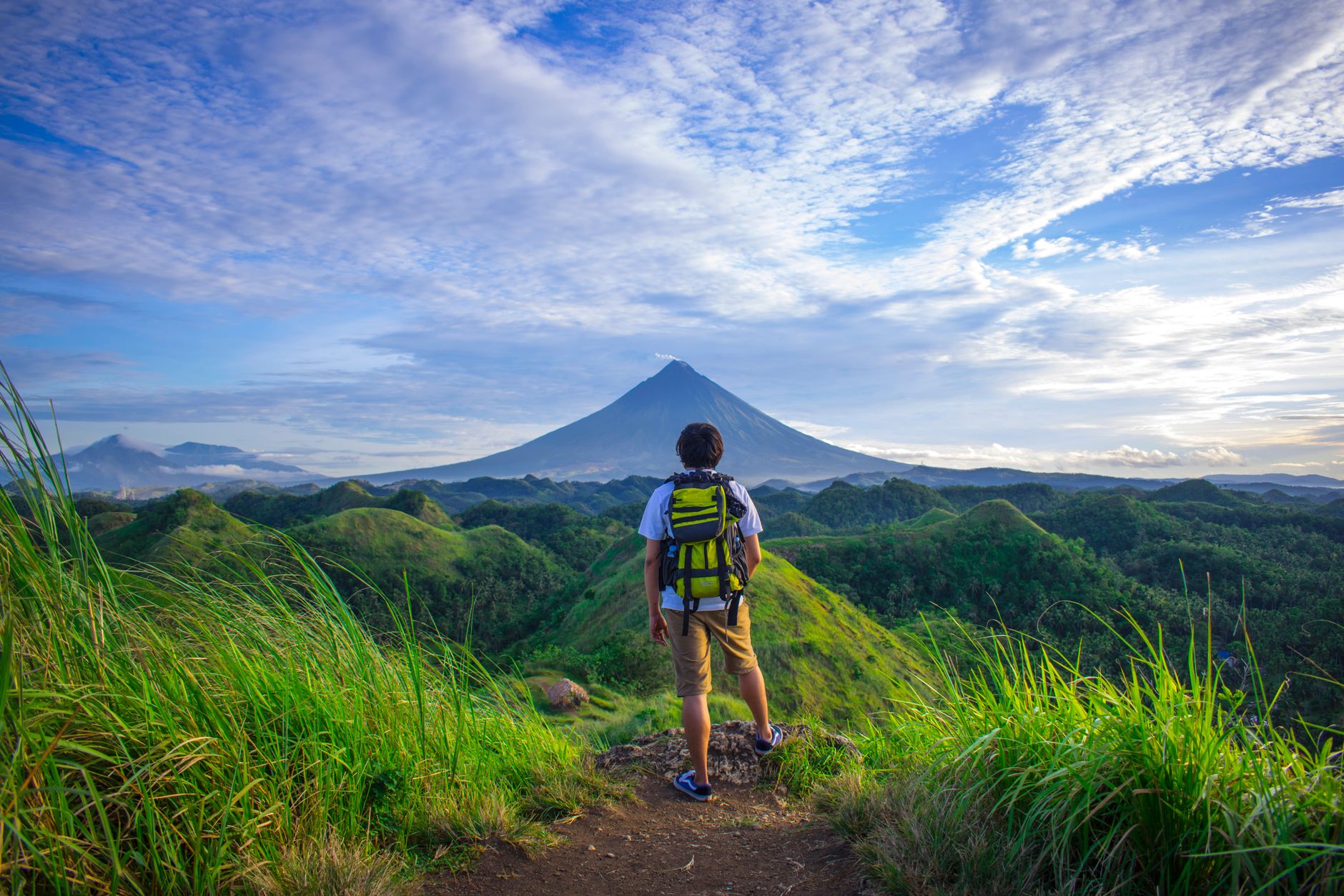
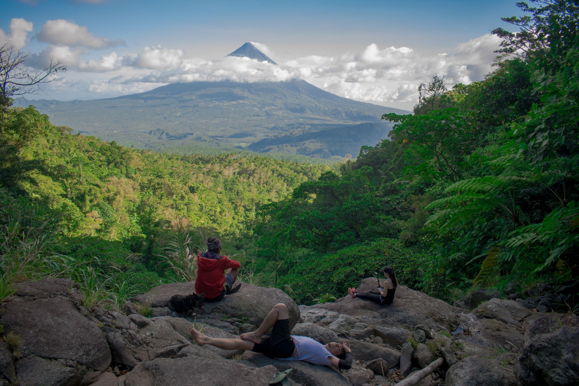


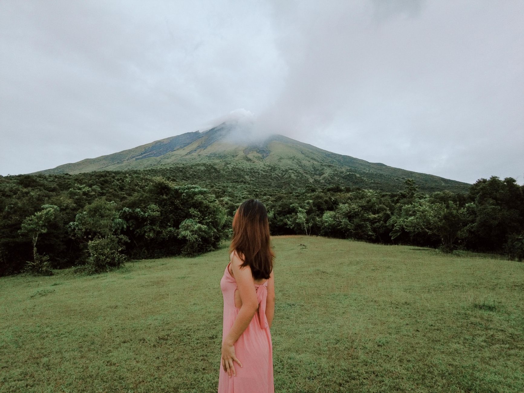
Bicol occupies the long southeastern arm of Luzon, a peninsula of six provinces bookended by two offshore islands, Catanduanes and Masbate. The region announces itself early: Mayon Volcano rises from Albay's coastal plain with a symmetry so precise it looks drawn rather than geological, and the ruined belfry of Cagsawa — all that remained after Mayon's 1814 eruption buried an entire town — still stands in its shadow.
Beyond the volcano, Bicol is a region of coral-built churches, Marian pilgrimage routes, and a cuisine that uses chili with more commitment than anywhere else in the Philippines. The Bikolano language even carries a distinct angry register — a coded, forceful mode of speech found nowhere else on earth.
How Bicol Region came to be
The region's oldest name, Ibalong, may derive from a word meaning 'people from the other side' — a fitting origin for a peninsula that always sat at the edge of things. Spanish contact came in 1567 when explorers made landfall at Gibalong in present-day Sorsogon; by 1569 Luis Enriquez de Guzman and Augustinian friar Alonso Jimenez had formally introduced Catholicism, and Franciscans arrived in 1578 to carry the conversion inland. Juan de Salcedo established the region's first Spanish settlement, Santiago de Libon, in 1572 — the same year the Bicol River first appeared in colonial documents.
Bicol's forests fed the Manila Galleon trade; local hardwood from regional astilleros built the ships that carried goods between Asia and the Americas for two and a half centuries. The Archdiocese of Caceres, one of the oldest dioceses in the Philippines, took root here, leaving a trail of Franciscan churches — including the coral-built Barcelona Church in Sorsogon, completed in 1874 — that still define the region's skyline.
Who and what shaped it
People who shaped it
Landmark buildings
See Bicol Region in motion
Plan your visit
On the map
When to go
January through April brings the driest, coolest weather — daytime temperatures in the mid-to-upper 20s°C and reliable sunshine for outdoor travel. Much of the peninsula carries a Type II climate, meaning there is no true dry season in the east; expect heavy rainfall and the possibility of typhoons from July through October, with peak downpours in July and August.
Background & history adapted from Wikipedia (CC BY-SA) · specs from Wikidata (CC0) · weather from Open-Meteo · map data © OpenStreetMap contributors · photos from Wikimedia Commons / Unsplash with per-image credit. No third-party reviews or social posts reproduced.