
Baguio City
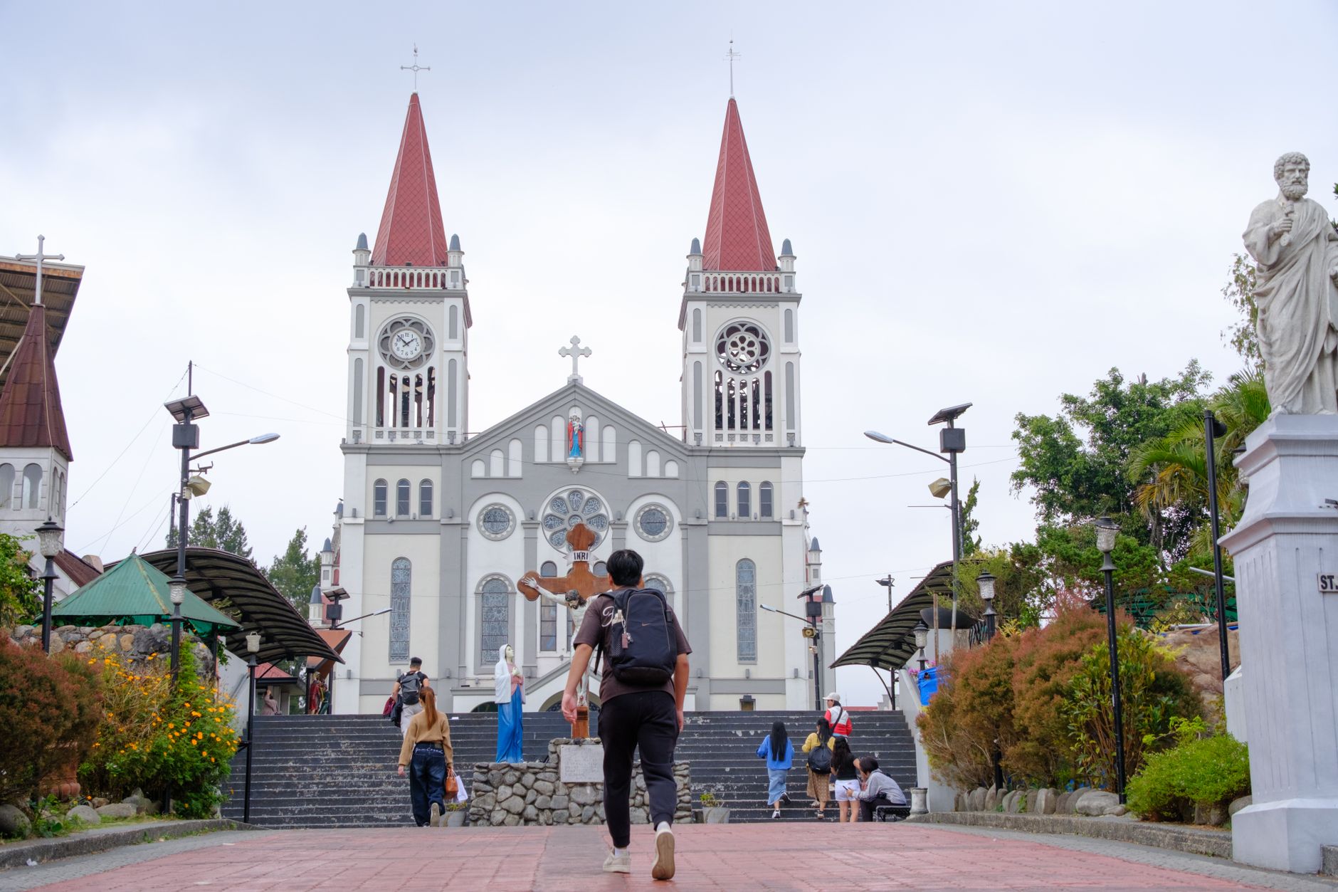
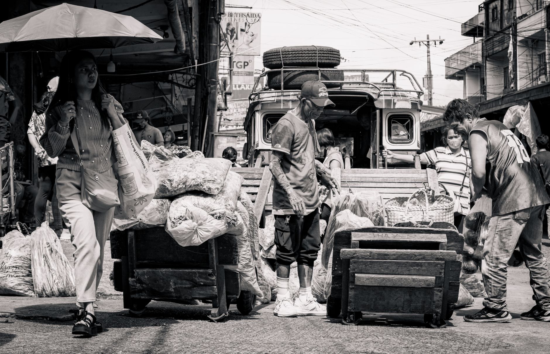
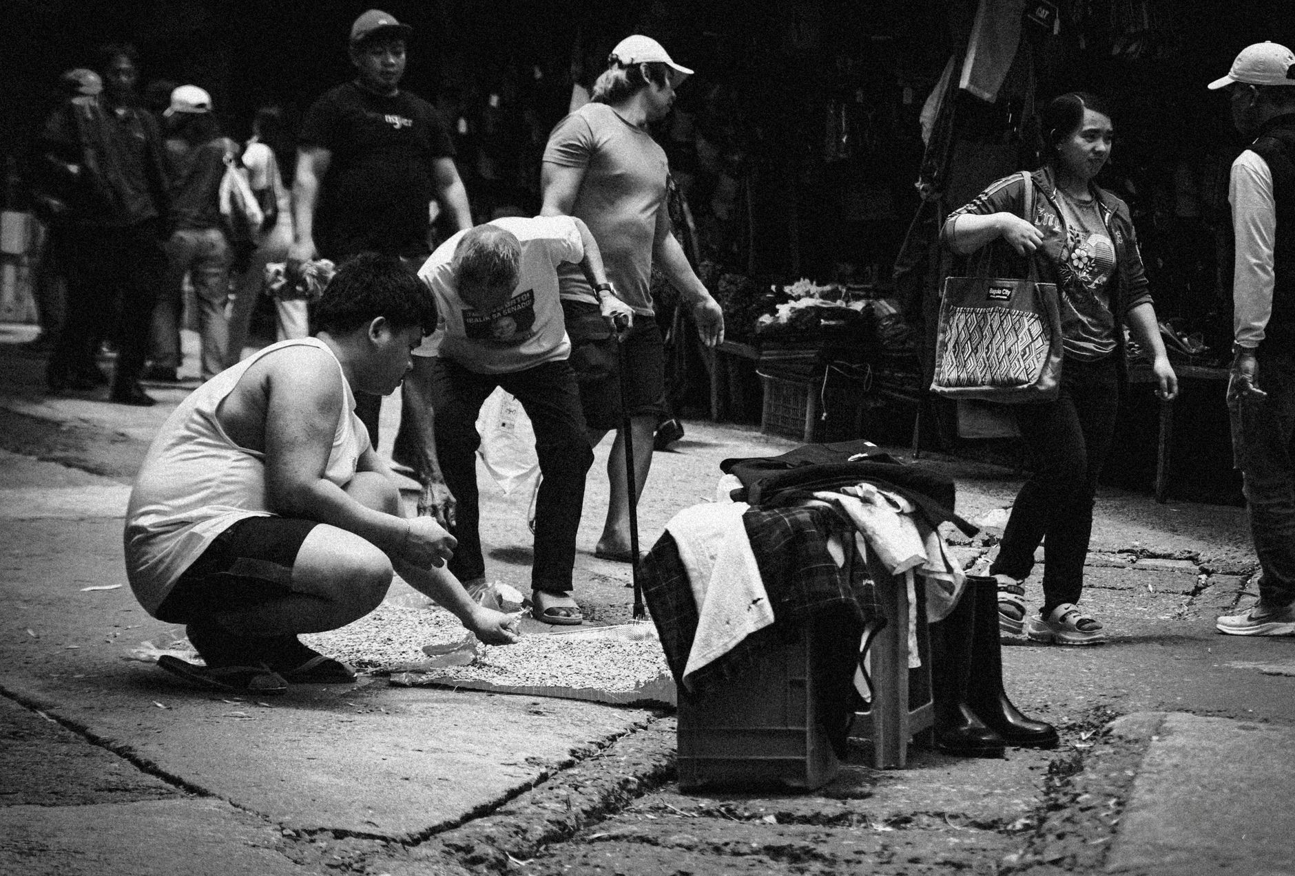
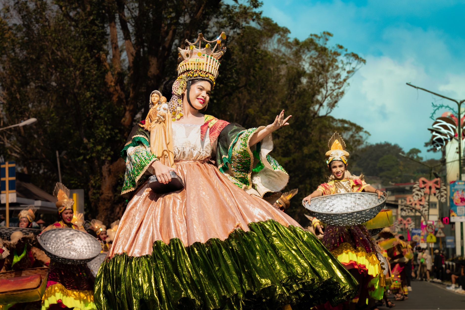
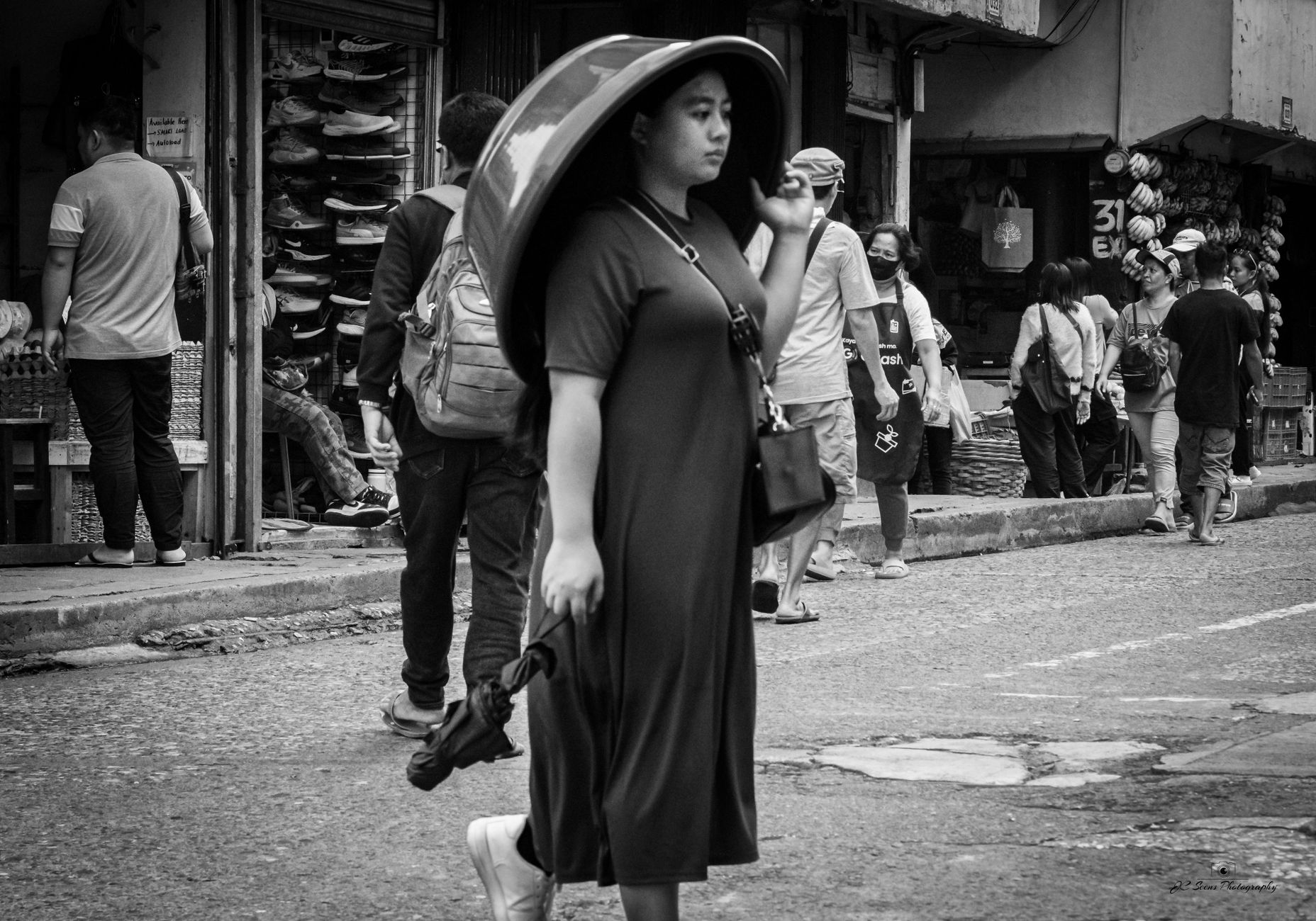
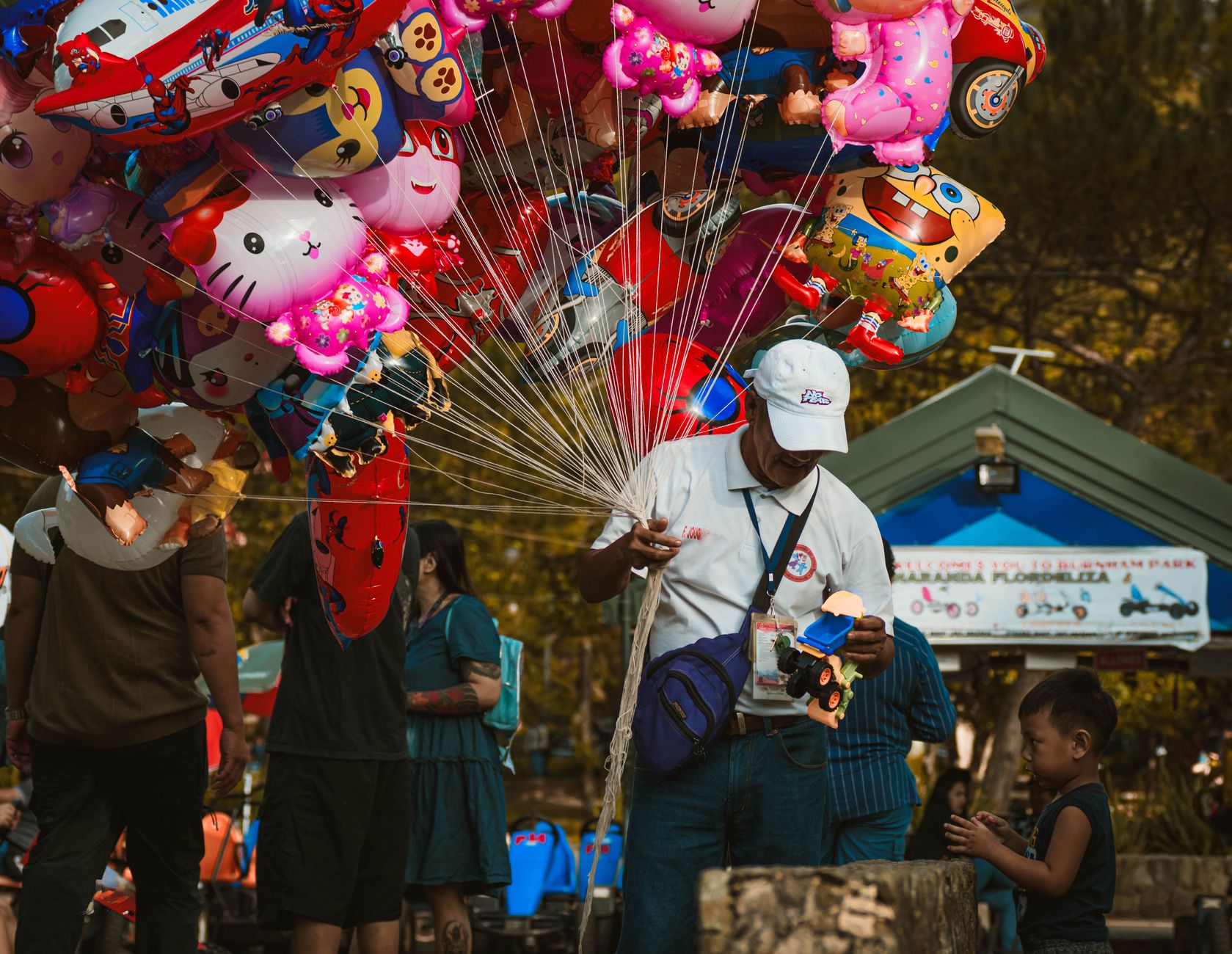
Baguio sits at roughly 1,500 metres above sea level in the Cordillera mountains, and you notice the altitude before you notice anything else — the air is cooler and thinner than the lowlands, and in December a light jacket is not a luxury. The city was drawn up in 1900 by American urban planner Daniel Burnham on land that had belonged, for generations, to the Ibaloi people. That layered origin — indigenous village, colonial hill station, wartime target, earthquake survivor — shapes everything from the pine-lined parks to the art enclaves tucked along its steep side streets.
Today Baguio is the summer capital of the Philippines and a city of around 350,000 people. Session Road, a 1.7-kilometre six-lane artery that started life as a route for American Commission members, still anchors daily life. On Sundays it closes to traffic entirely.
💛 What travellers fall for
People who keep coming back tend to make straight for Ili-Likha Artists Village on a weekday morning, when filmmaker Kidlat Tahimik's upcycled-materials compound is quiet enough to actually look at things. They also learn quickly that the bus from Cubao overnight means you arrive at dawn with the whole city still cold and half-asleep — the best version of it.
How Baguio City came to be
The land the Americans chose for their hill station was Kafagway, a small Ibaloi settlement whose most prominent figure was chieftain Mateo Cariño, who owned most of the area. The U.S. established the site in 1900 and brought in Burnham to plan it; Filipino, Japanese and Chinese labourers built Kennon Road in 1903 to link the new city to the lowlands of Pangasinan. On September 1, 1909, Baguio became a chartered city — the second in the Philippines after Manila.
The Second World War arrived on December 8, 1941, when Japan bombed the city and took Camp John Hay nineteen days later. The same camp became the site of General Yamashita's formal surrender on September 3, 1945. Four decades on, a 7.7-magnitude earthquake struck on July 16, 1990, collapsing buildings and reshaping the city's memory of itself once more.
Who and what shaped it
People who shaped it
Landmark buildings
See Baguio City in motion
Plan your visit
On the map
When to go
From December to February, temperatures can drop to single digits Celsius at night and rarely climb above 18°C by day — cold by Philippine standards, and the season when sea of clouds settles over the Cordillera mountains visible from Mines View Park. The rest of the year is mild and often misty, with the rainy season bringing heavy afternoon downpours from June through October.
Right now
Background & history adapted from Wikipedia (CC BY-SA) · specs from Wikidata (CC0) · weather from Open-Meteo · map data © OpenStreetMap contributors · photos from Wikimedia Commons / Unsplash with per-image credit. No third-party reviews or social posts reproduced.