
Sagada
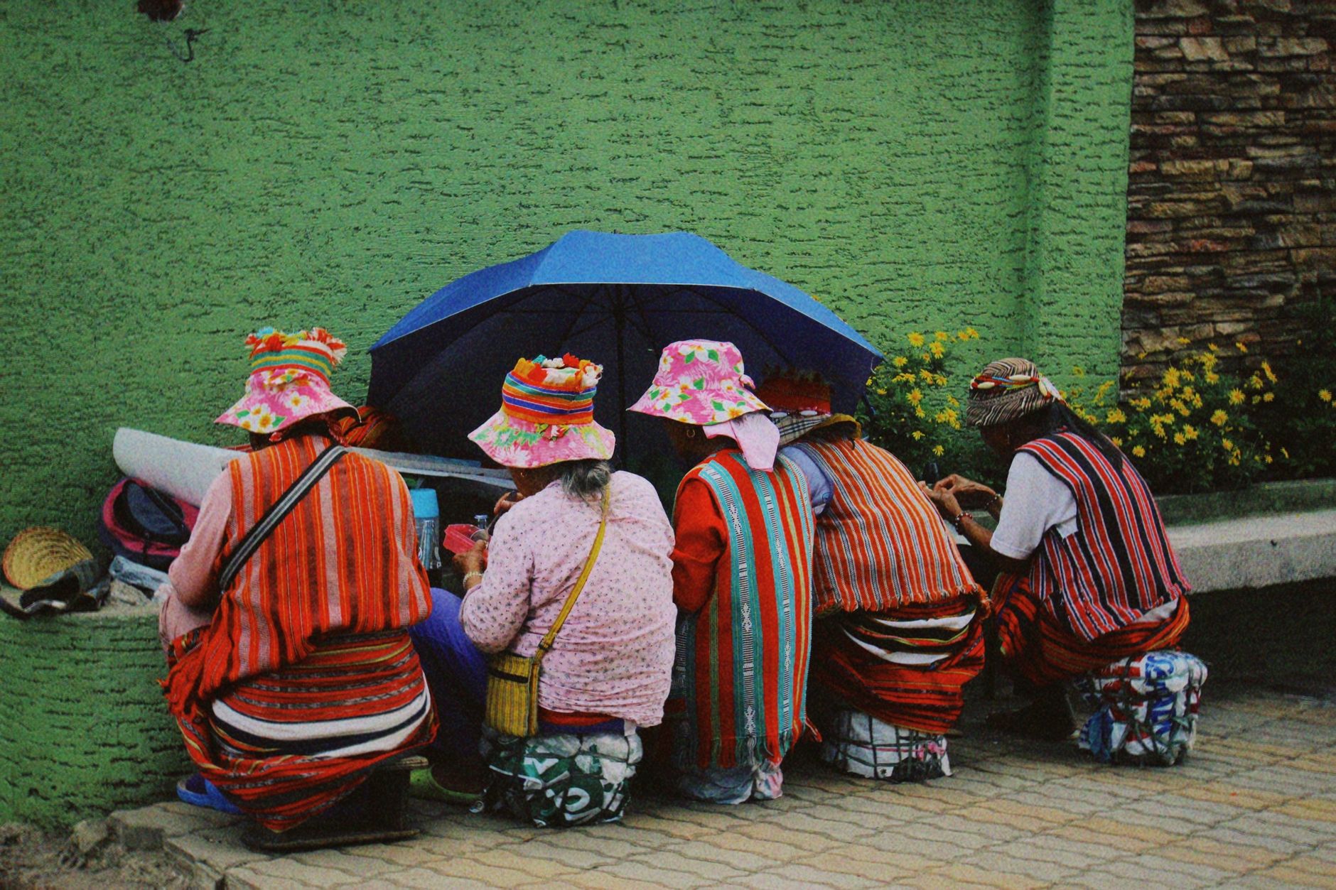
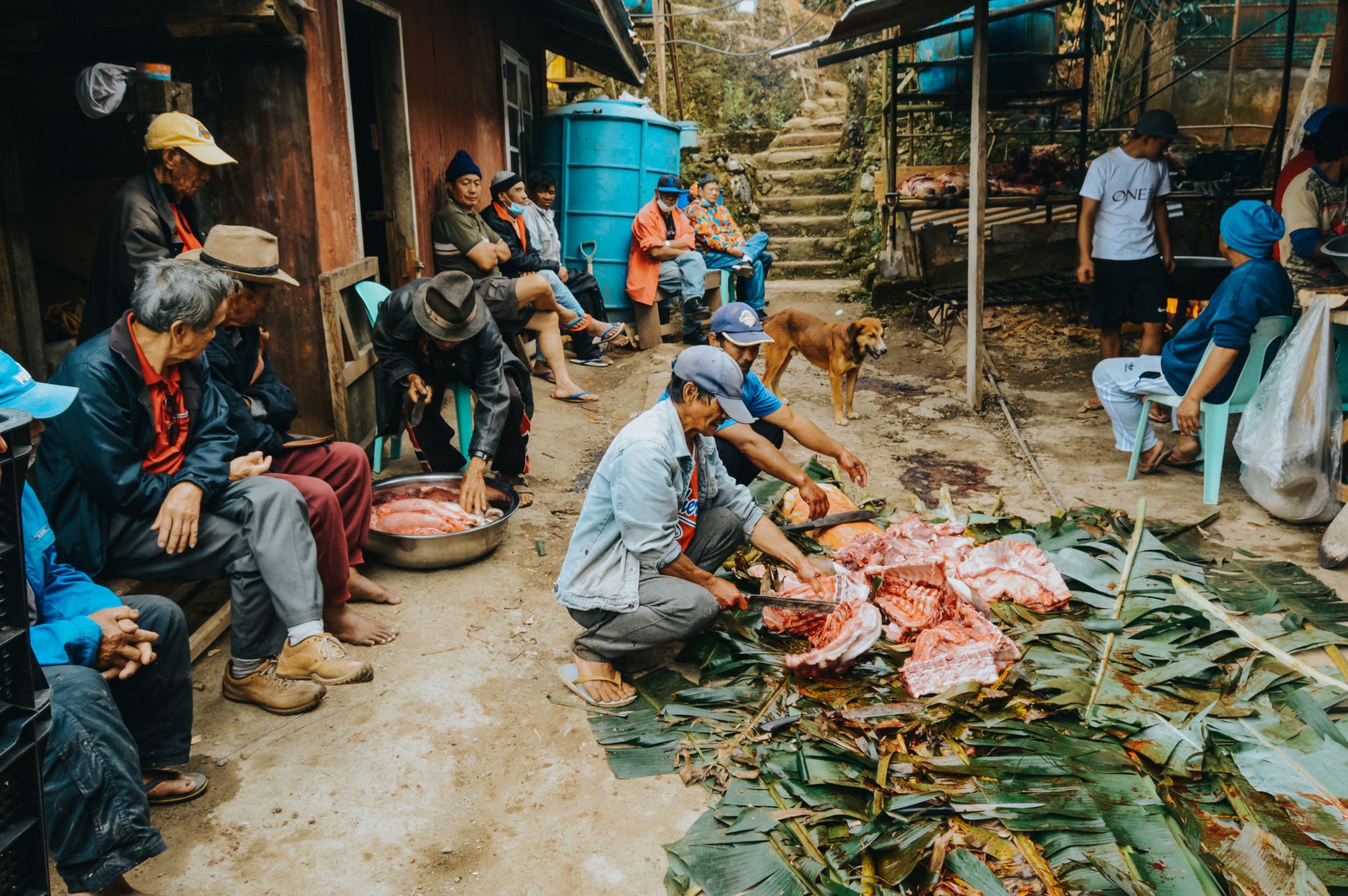
Sagada sits at roughly 1,500 metres in the Cordillera mountains of northern Luzon, and the first thing you notice is the pine trees — not the palms you've seen everywhere else in the Philippines, but actual conifers, their resin sharp in the cold air. The second thing you notice is quiet. A town of just over ten thousand people, it has held onto its indigenous Kankana-ey culture more stubbornly than almost anywhere else in the archipelago.
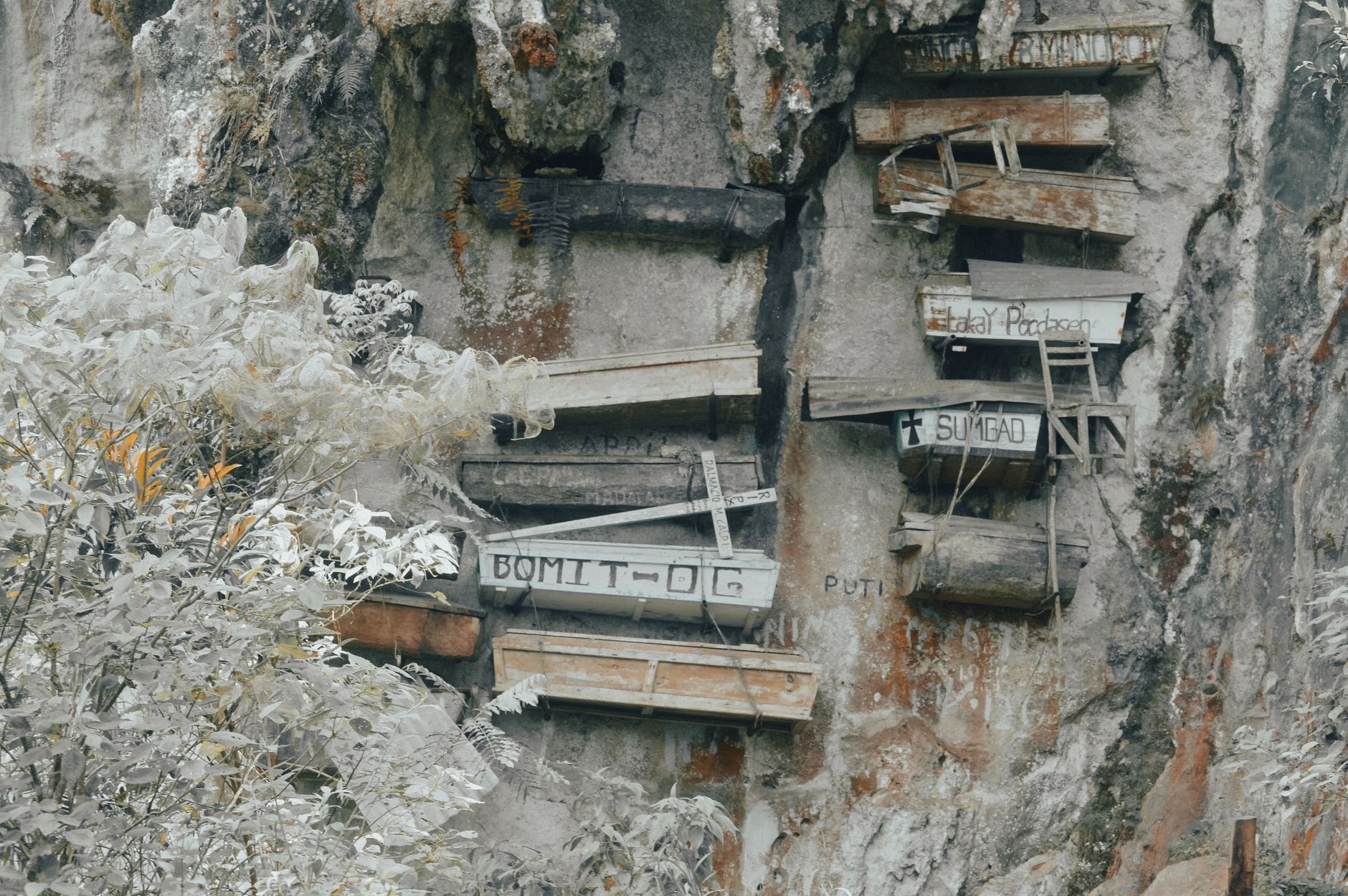
The place is known, above all, for its hanging coffins — log caskets wedged into cliff faces and cave mouths, some placed there more than five hundred years ago. The practice continues. The elderly carve their own coffins, and the dead are carried up to rest in the open air, overlooking the valley.
💛 What travellers fall for
People who return to Sagada tend to mention the same things: arriving on the overnight bus and stepping into cold air that feels wrong in the best way, booking the Cave Connection before it fills up, and eating at the small restaurants along the main road where the coffee — arabica, grown here since the 1890s — comes without ceremony and costs almost nothing.
How Sagada came to be
According to local tradition, Sagada's founding traces back to a man named Biag, whose people fled headhunter raids, resettled on the Ilocos coast, and eventually returned to the mountains when baptism was enforced by Spanish colonisers. Spanish missionaries largely bypassed this corner of the Cordillera — a mission wasn't established here until 1882, centuries after the lowlands were converted. In 1904, the Episcopalian missionary Rev. Fr. John Staunton built the Church of Saint Mary the Virgin and founded St. Mary's School, which shaped the town's English-language literacy and relative openness to outside visitors.
In the 1970s, Sagada and its neighbours faced a more direct threat: the Chico River Dam Project under the Marcos dictatorship would have flooded several mountain communities. Indigenous resistance was sustained and eventually violent on the state's side — the murder of Igorot leader Macli-ing Dulag turned national opinion against the project. The dam was never built. That resistance is part of why the culture you encounter here is still intact.
Who and what shaped it
People who shaped it
Landmark buildings
See Sagada in motion
Plan your visit
On the map
When to go
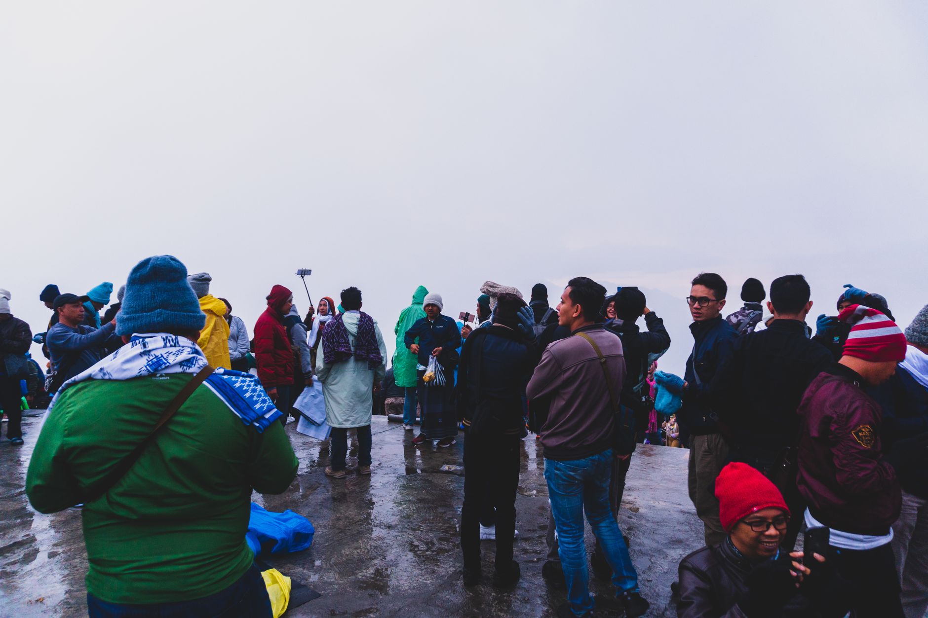
Sagada runs cool year-round, with daily temperatures typically sitting between 17 and 20°C — bring a layer even in summer. The heavy rains fall between May and October, which can make cave tours and mountain trails muddier and less accessible; February through April and November through December offer the clearest skies and the best chance of catching the sea of clouds over Marlboro Hill at dawn.
Right now
Background & history adapted from Wikipedia (CC BY-SA) · specs from Wikidata (CC0) · weather from Open-Meteo · map data © OpenStreetMap contributors · photos from Wikimedia Commons / Unsplash with per-image credit. No third-party reviews or social posts reproduced.