
Cordillera Administrative Region

The Cordillera sits in the northern interior of Luzon at elevations where you need a jacket in June and can see your breath in January. Six provinces — Abra, Apayao, Benguet, Ifugao, Kalinga, Mountain Province — cover terrain so corrugated that roads measure themselves in hours, not kilometres. The Igorot peoples who have farmed these slopes for millennia built the Banaue Rice Terraces into hillsides so steep they read from a distance like a topographic map brought to life, each paddy fed by an ancient irrigation system still in use today.
Baguio City is the practical gateway, cool and market-loud at 1,500 metres. From there, the region unfolds outward: cave complexes in Sagada, the tattoo village of Buscalan where Apo Whang-Od still works, highland trails, and smoke-cured food that tastes nothing like the coast.
💛 What travellers fall for
People who come back tend to plan around the calendar rather than the map. Panagbenga in February means Baguio's Session Road lined with floats and cut flowers, and temperatures sitting at a civilised 27°C. Those same returnees will tell you: book a jeepney driver by name, not at random — the roads above Sagada reward someone who knows them.
How Cordillera Administrative Region came to be
The Cordillera Administrative Region came into formal existence on July 15, 1987, when President Corazon Aquino signed Executive Order 220 and drew together provinces that had been part of Ilocos and Cagayan Valley. The structure echoed an American colonial-era division called Mountain Province, though the 1987 version carried a different political weight: it followed years of armed conflict and a specific watershed moment — the assassination of Butbut tribal leader Macli-ing Dulag on April 24, 1980, which galvanised Igorot resistance and the broader autonomy movement. A peace accord signed at Mount Data on September 13, 1986, between the Aquino government and the Cordillera People's Liberation Army preceded the region's creation by less than a year.
In 1995, Republic Act No. 7878 split Kalinga-Apayao into the separate provinces of Apayao and Kalinga, giving the region its current shape of six provinces. The question of full autonomy — a status distinct from the administrative region the 1987 order established — has remained open in the decades since.
Who and what shaped it
People who shaped it
Landmark buildings
See Cordillera Administrative Region in motion
Plan your visit
On the map
When to go
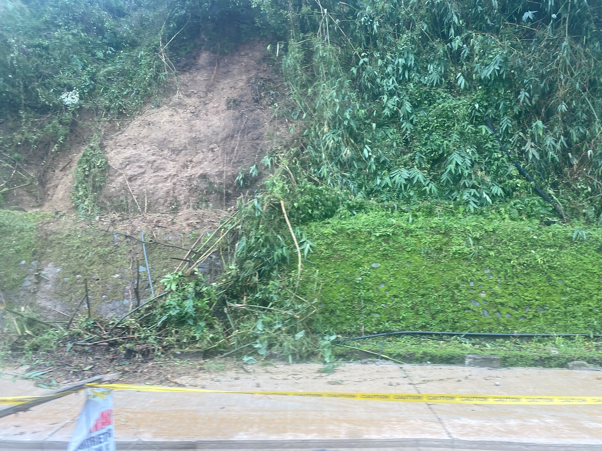
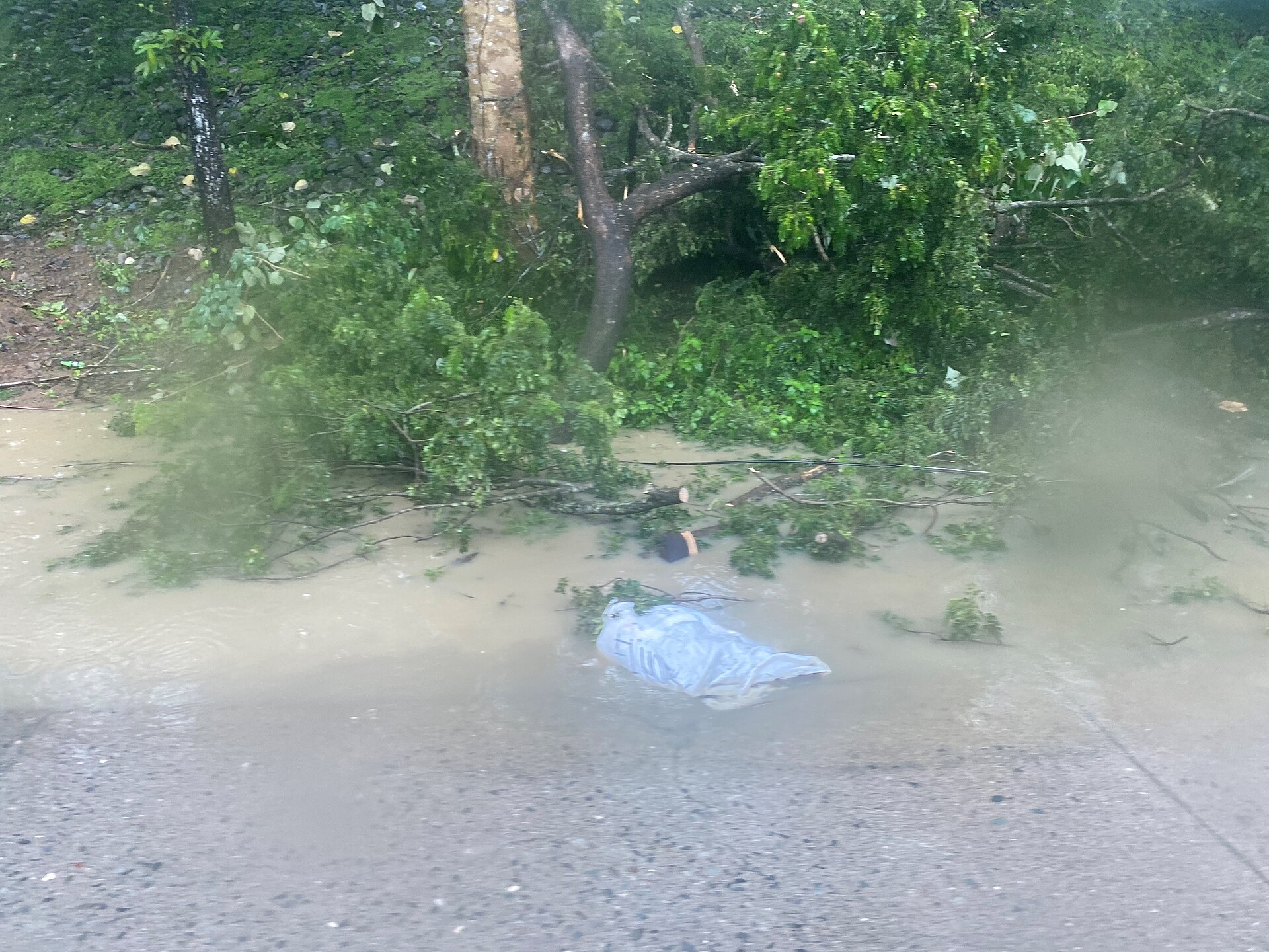
Expect cool to cold air year-round by Philippine standards: average highs around 24°C, nights dropping to 15–17°C, with frost possible between November and March at higher elevations. The wet season runs May through October, when typhoons can make mountain roads genuinely dangerous.
Right now
Background & history adapted from Wikipedia (CC BY-SA) · specs from Wikidata (CC0) · weather from Open-Meteo · map data © OpenStreetMap contributors · photos from Wikimedia Commons / Unsplash with per-image credit. No third-party reviews or social posts reproduced.