
North Sea Coast and Frisian Islands


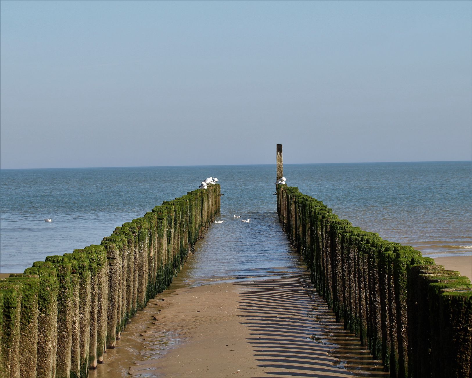
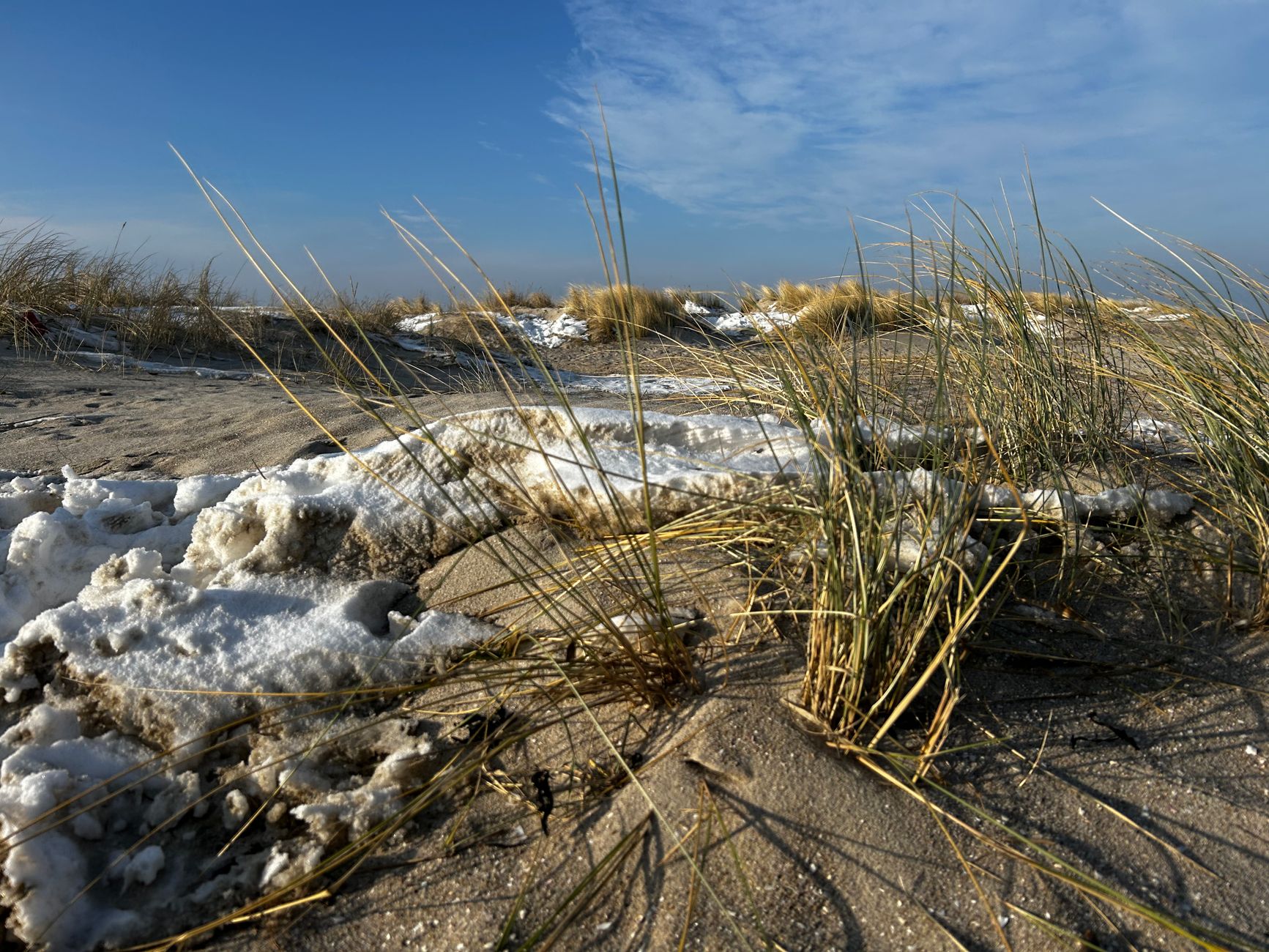
Stand on the Kniepsand — the broad white sandbar that runs along Amrum's western shore — and you'll understand why people keep returning to this stretch of German coast. The North Sea doesn't perform here; it simply does what it does, retreating kilometres at low tide to expose the mud flats of the Wadden Sea, then rolling back in. The Frisian Islands string along the Schleswig-Holstein coastline from the mouth of the Ems to the Elbe, a loose archipelago of dunes, salt marsh and red-roofed villages.
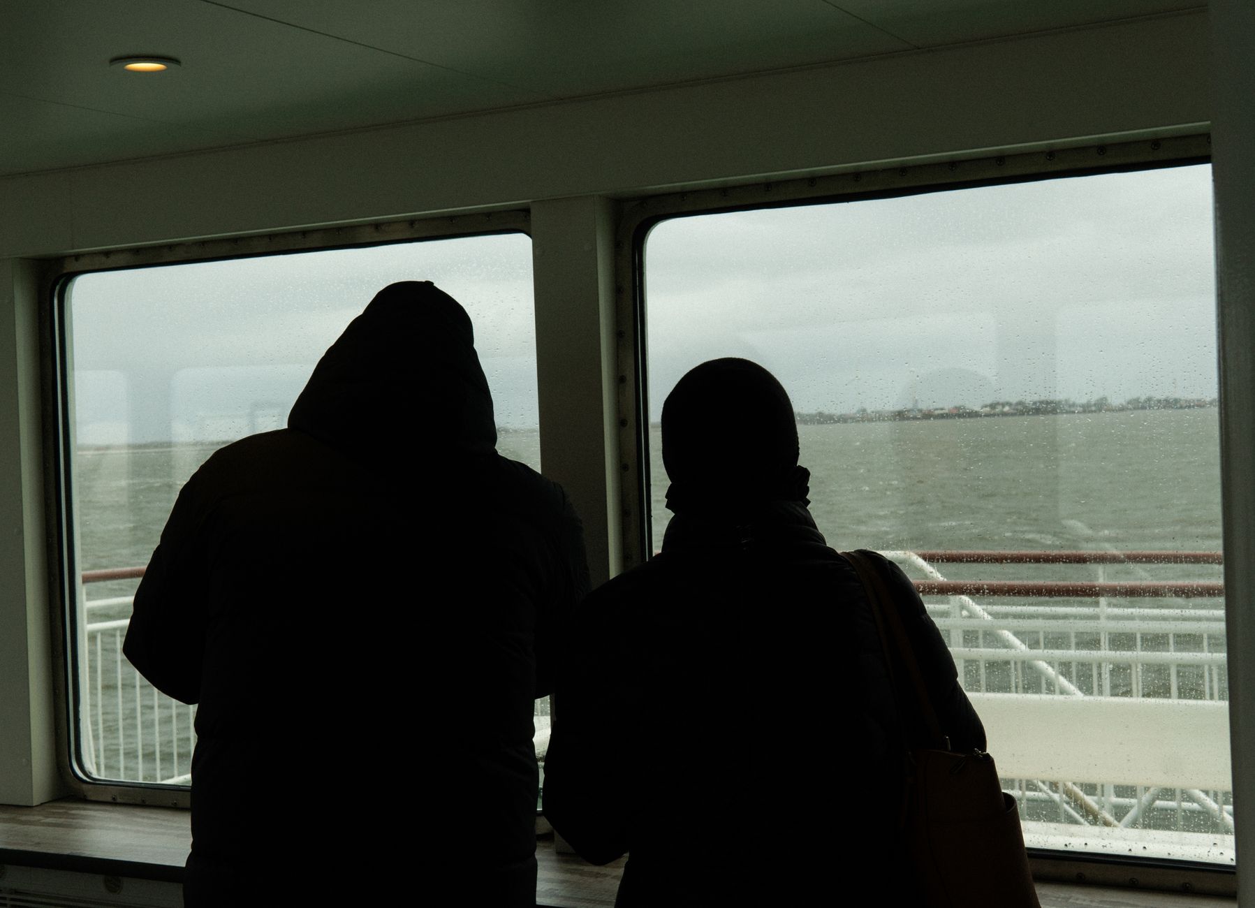
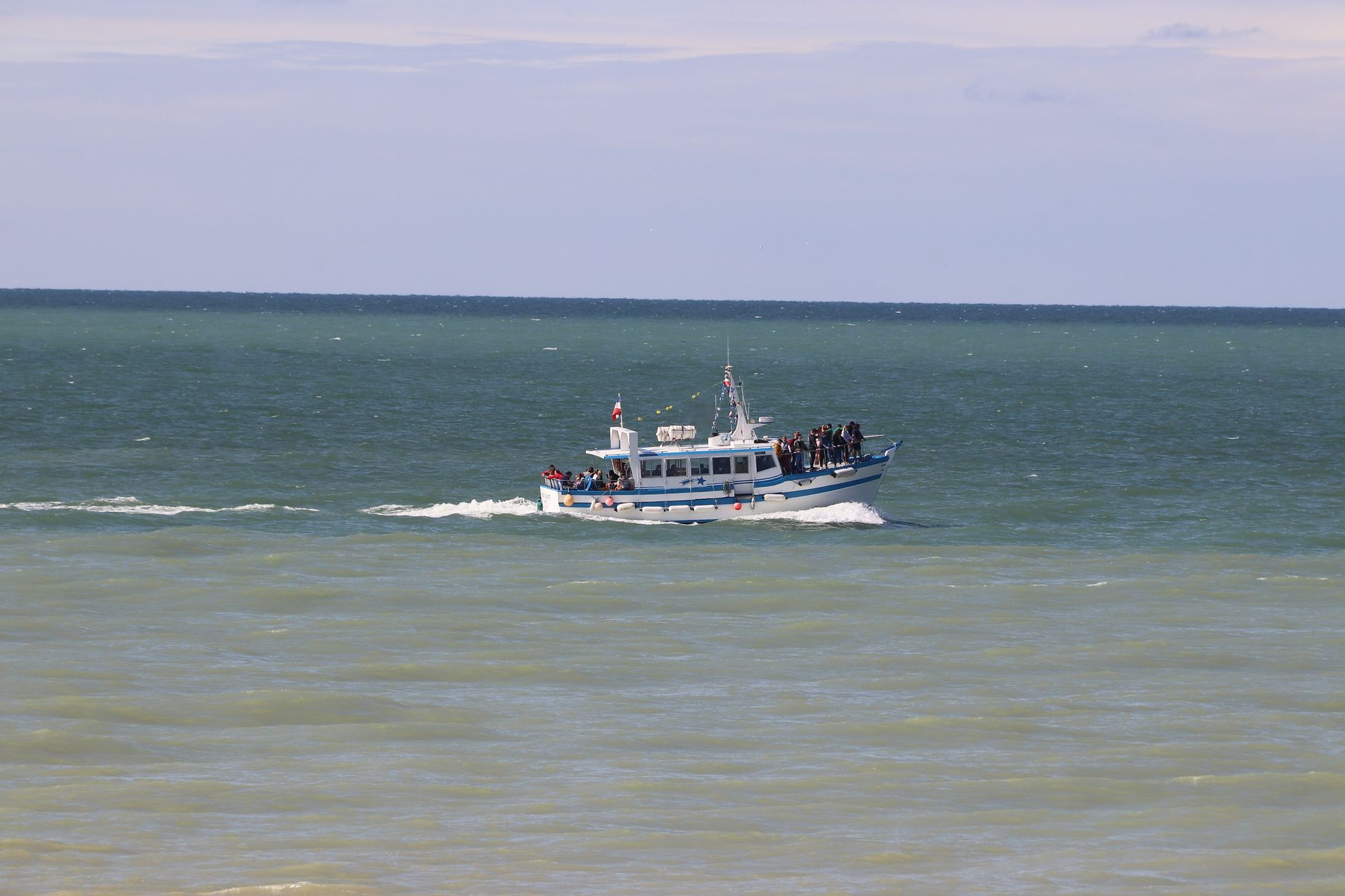
Each island has its own character and its own access logic. Sylt, the longest and most visited, arrives by train across a nine-kilometre causeway. Föhr and Amrum require a ferry. Pellworm has no bridge either. That friction is, in part, the point.
Popular cities in North Sea Coast and Frisian Islands
💛 What travellers fall for
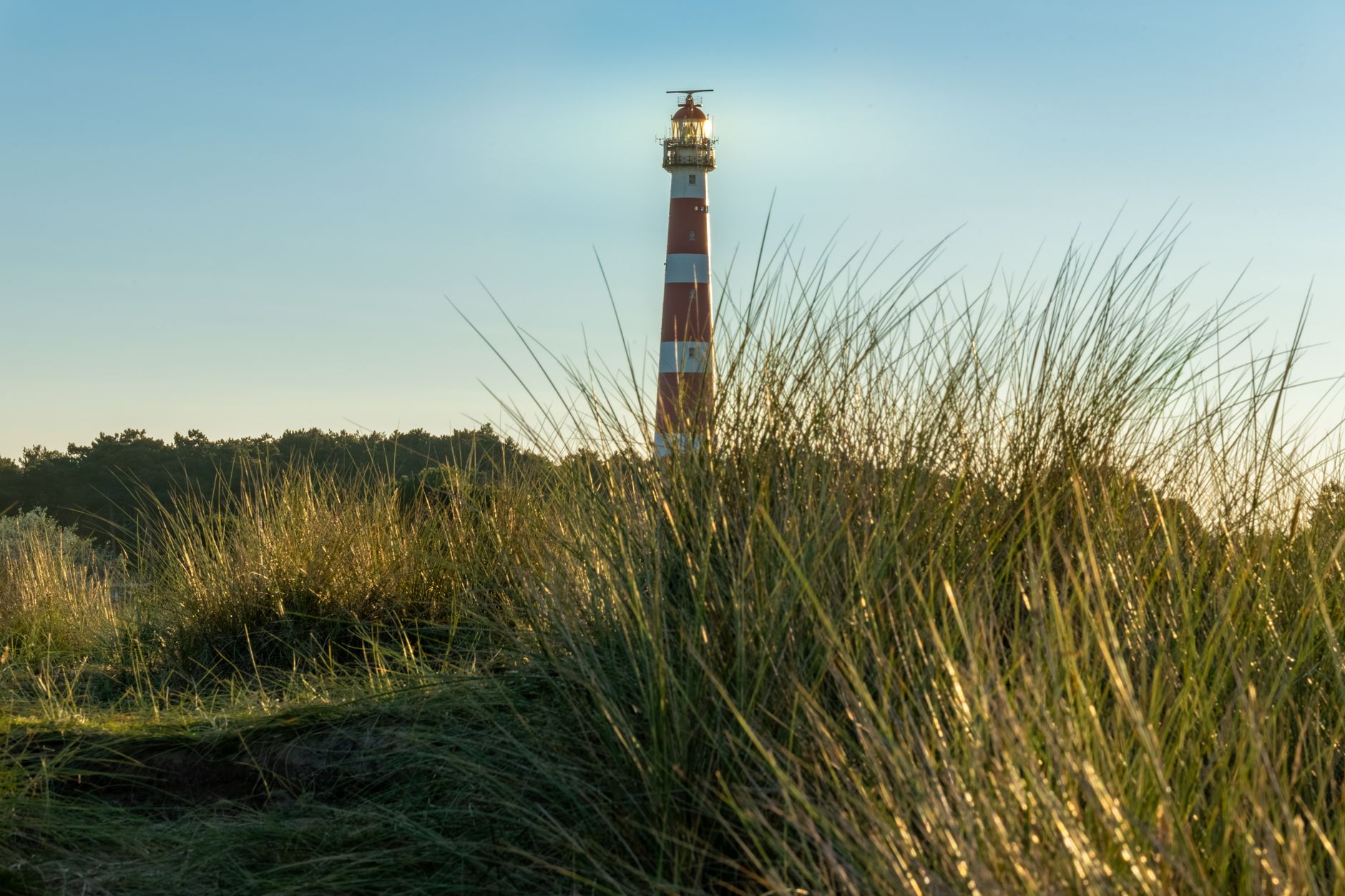
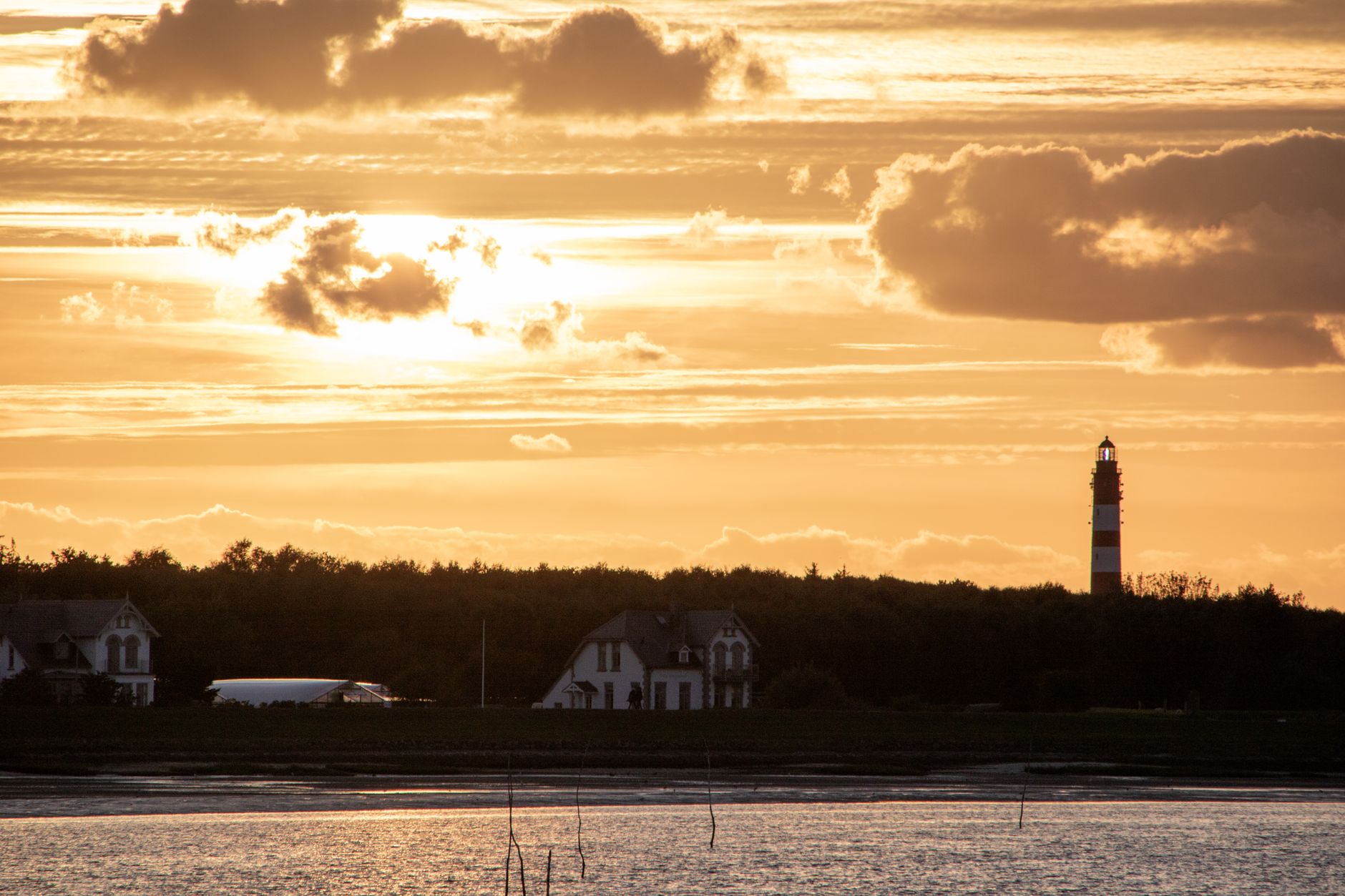
People who come back tend to pick one island and go deep rather than island-hopping. On Föhr, regulars walk the churchyard at Nieblum, where the old whaling-captain gravestones tell a whole Atlantic history in stone. On Amrum, the move is climbing the 42-metre lighthouse before the afternoon haze settles over the dunes.
How North Sea Coast and Frisian Islands came to be
The islands themselves are geologically young. Around 7,000 years ago, rising sea levels pushed the coastline to roughly where it stands today; tidal action built the dune barrier that the sea later broke through to create the Wadden Islands. Before dikes, settlers lived on terpen — hand-built earth mounds — and the Frisians who farmed and fished here impressed even Roman observers. Pliny, writing in the first century AD, described them living without trees in a landscape that was neither quite sea nor land.
For two centuries from the 1600s, North Frisian islanders became some of Europe's most sought-after mariners. Around 1700, roughly 1,600 of Föhr's 6,000 inhabitants were whalers crewing Dutch and English ships to Greenland and Svalbard. The islands were part of the Danish Duchy of Schleswig until 1864, when the Second Schleswig War transferred them to Prussia — a shift that still echoes in the region's distinct Frisian cultural identity.
Who and what shaped it
People who shaped it
Landmark buildings
See North Sea Coast and Frisian Islands in motion
Plan your visit
On the map
When to go
Summers are mild and often bright, but North Sea winds make even July feel brisk on the beach. Winter brings storms and a stripped-back quiet that some visitors prefer; spring and autumn sit somewhere between the two — changeable, honest weather.
Right now
↡ Cities
Background & history adapted from Wikipedia (CC BY-SA) · specs from Wikidata (CC0) · weather from Open-Meteo · map data © OpenStreetMap contributors · photos from Wikimedia Commons / Unsplash with per-image credit. No third-party reviews or social posts reproduced.