
Terschelling
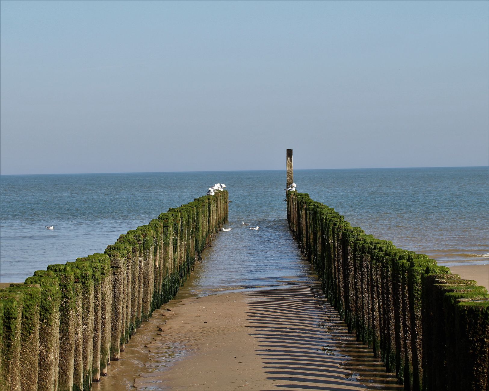
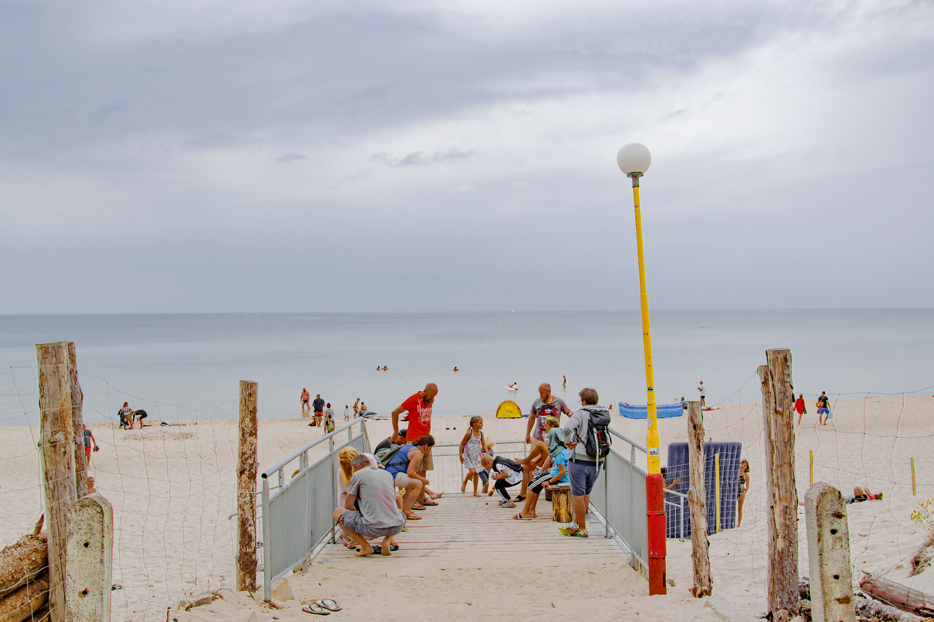
Terschelling sits in the Wadden Sea off the Dutch coast, and the first thing you notice arriving by ferry from Harlingen is the Brandaris — a stone lighthouse that has been orienting sailors since 1594, standing where a wooden beacon stood as far back as 1323. The island is long and narrow, forested through the middle, dune-edged along the north, and threaded with more than seventy kilometres of cycle paths that connect its scattered villages without ever asking you to get back in a car.
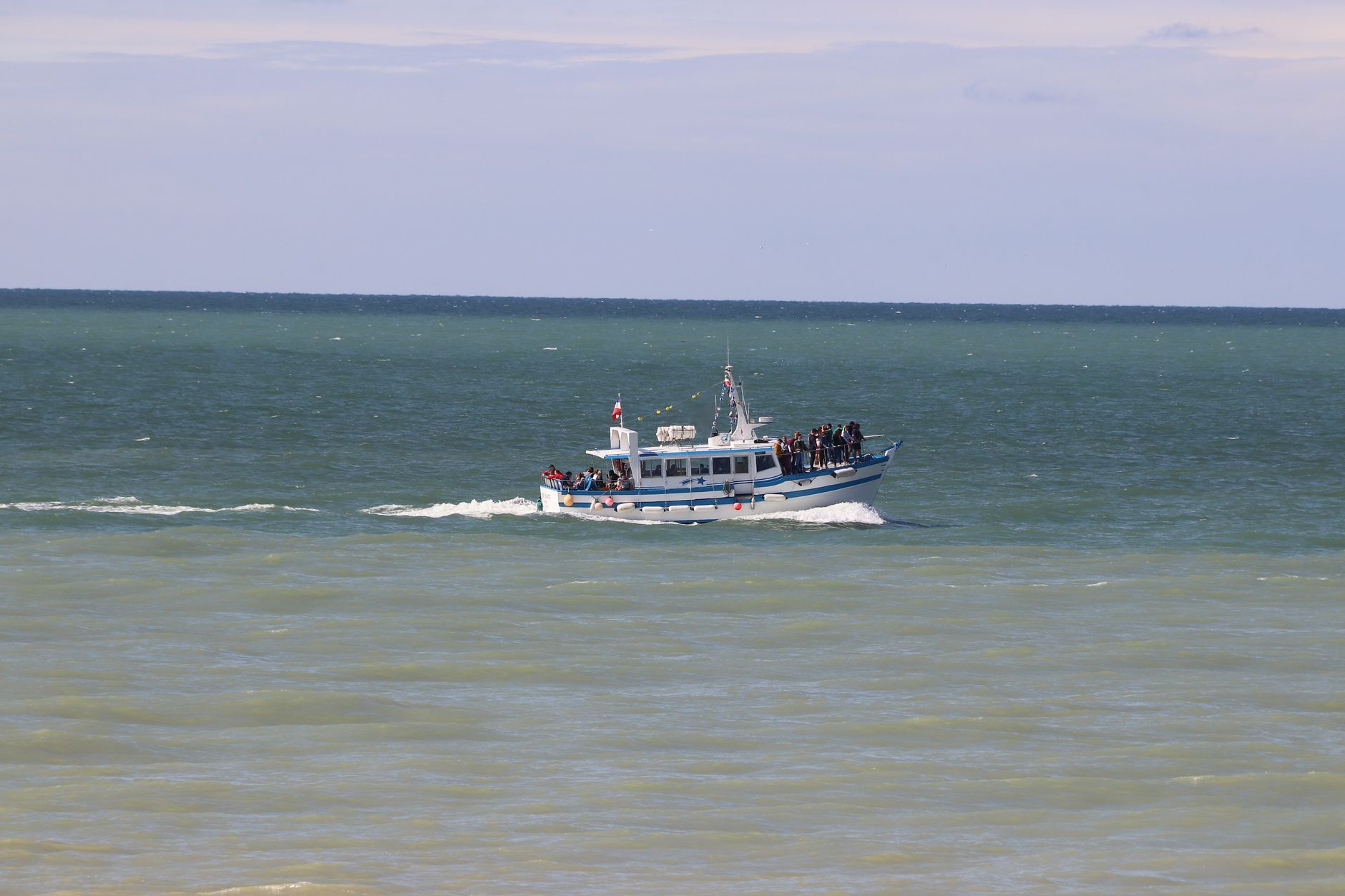
This is a Dutch Wadden island, which means tides, wide skies, and a pace that slows almost immediately. The same ferry route — operated by Rederij Doeksen — that brings day-trippers also carries the ms Willem Barentsz, named after the island's most famous son, an Arctic explorer who never made it home.
💛 What travellers fall for
People who keep coming back tend to mention the same loop: rent a bike at the harbour, ride east through the pine forest to the Formerum windmill — a working coffee bar inside a national monument from 1838 — then continue to the beach at the far end of the island before the afternoon ferry crowd turns around. De Bessenschuur, deep in the forest on Badweg, is where you stop on the way back.
Deals in Terschelling
Book directly at the provider

How Terschelling came to be
The island's shape is itself a product of history: Terschelling formed in the Middle Ages from two distinct pieces — a sandy western stretch called De Schelling and an older eastern island named Wexalia, the latter name last appearing in a 1482 treaty between the island's ruler and England's Edward IV. The town of West-Terschelling grew up around a bay where the Zuyder Zee trading town of Kampen erected a beacon around 1323, later rebuilt as the Brandaris lighthouse.
In 1666, during the Second Anglo-Dutch War, Admiral Sir Robert Holmes led an English fleet into the harbour, burned the town to the ground, and destroyed 150 Dutch vessels in what became known as Holmes's Bonfire. The island was divided into separate administrative entities from 1612 until the French occupation of the 19th century reunited it. Administratively it moved from Noord-Holland to Friesland — a shift that took place in practice in 1942 and was confirmed by law in 1951.
Who and what shaped it
People who shaped it
Landmark buildings
See Terschelling in motion
Plan your visit
On the map
When to go
June through August is warm and long-lit, with temperatures typically between 20 and 25°C — good beach weather, though the island is at its most crowded. Spring and early autumn bring quieter paths and the kind of low, horizontal light that suits the dunes well.
Right now
Background & history adapted from Wikipedia (CC BY-SA) · specs from Wikidata (CC0) · weather from Open-Meteo · map data © OpenStreetMap contributors · photos from Wikimedia Commons / Unsplash with per-image credit. No third-party reviews or social posts reproduced.