
Wangerooge
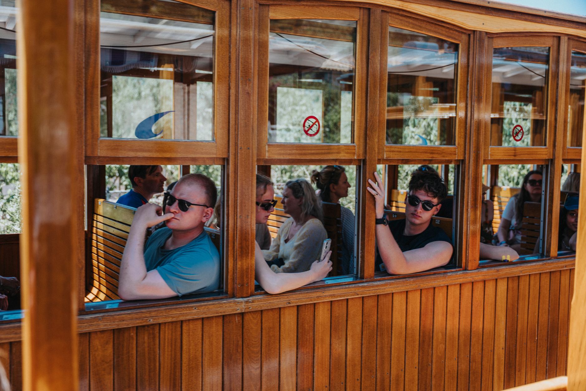
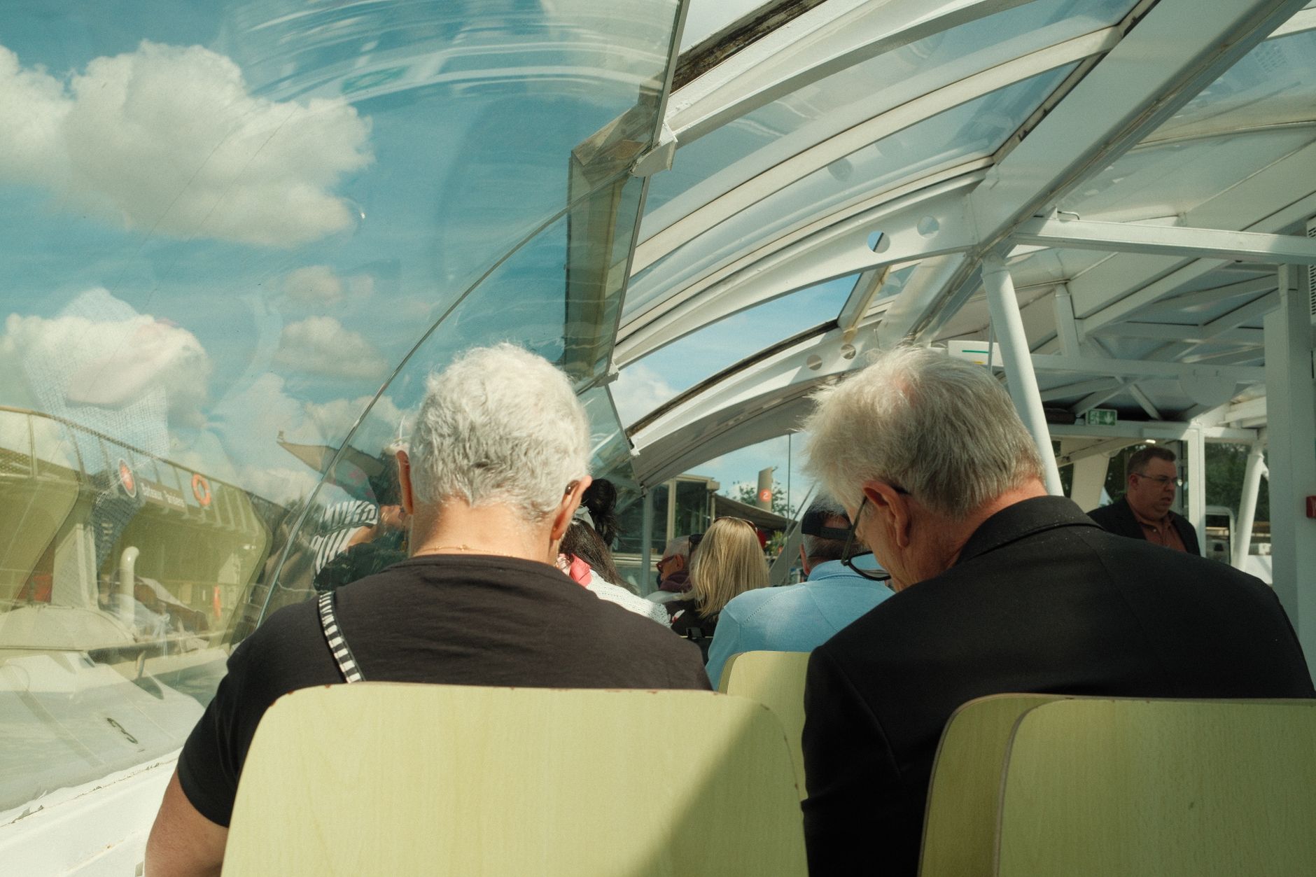
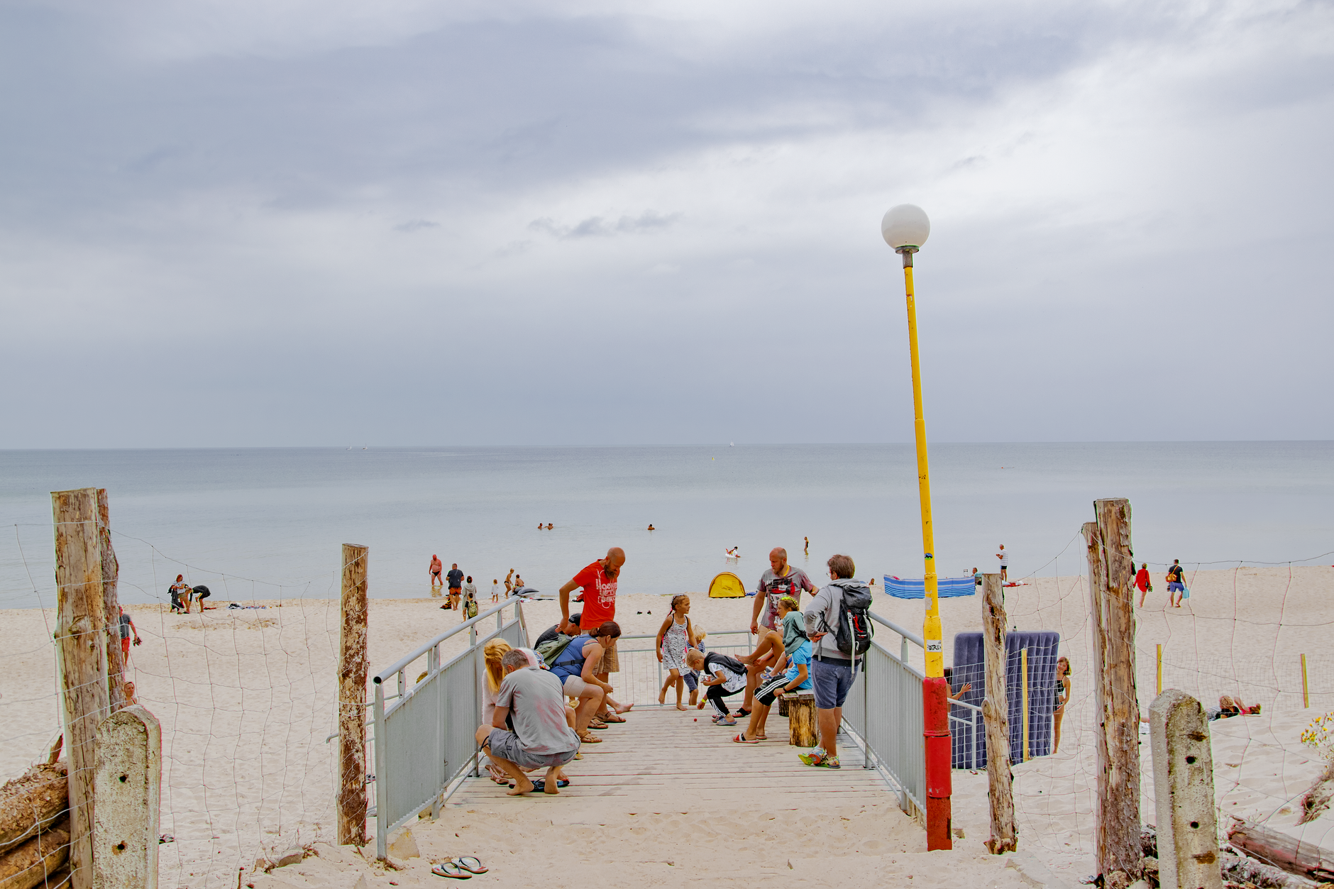
The ferry from Harlesiel takes fifty minutes through the Wadden Sea, and by the time you step onto the Kanonenbrücke — a pier built in 1912 to haul military artillery — a narrow-gauge train is already waiting to carry you the three kilometres to the village. No cars will pass you on the way. The only motors belong to the fire brigade and two electric taxis.
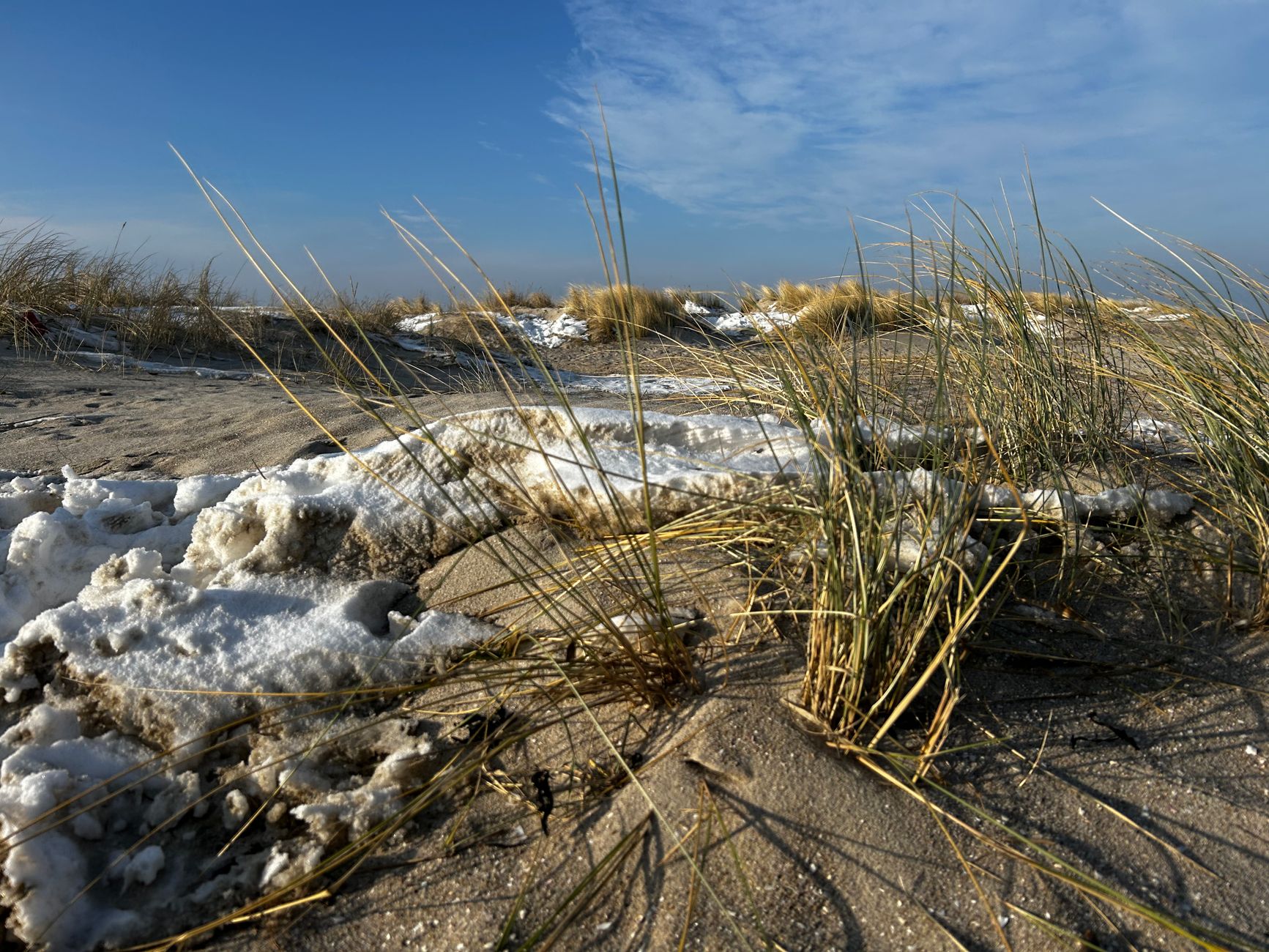
Wangerooge is the easternmost of the East Frisian Islands, a strip of dune and salt grass roughly eleven kilometres from the mainland. Its name comes from Old Frisian words for 'meadow island,' and that plainness suits it. The grid of low streets was laid out after a catastrophic storm in 1855 swept the old settlement away, and the place has been quietly reinventing itself ever since.
💛 What travellers fall for
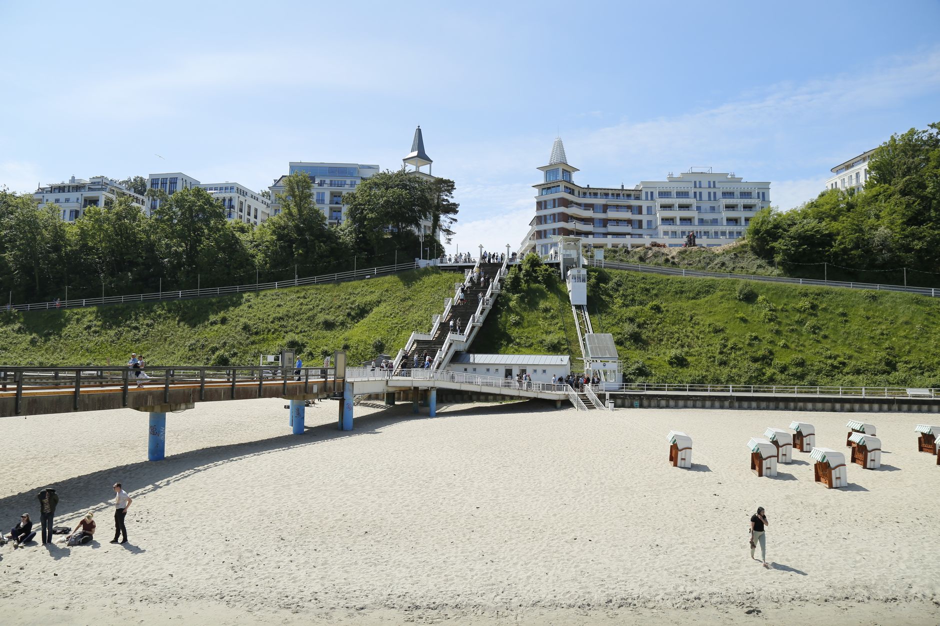
People who return tend to time the ferry by tide rather than clock — the schedule shifts every day, and regulars have learned to check it the night before. Café Pudding on its round dune hill above the promenade is the reliable fixed point: the same panorama of sea and rooftops, whatever the season.
Deals in Wangerooge
Book directly at the provider


How Wangerooge came to be
Wangerooge appears in written records as early as 1327. For centuries it was a fishing settlement, unremarkable except for the Western Tower erected between 1597 and 1602 on the orders of Count Johann VII of Oldenburg — a structure that served simultaneously as church, prison, landmark and coal-fire lighthouse. That tower was erased by the New Year's storm surge of 1855, which destroyed the old village entirely.
The rebuilt settlement was shifted to the island's centre and laid out on a deliberate grid, sheltered from the prevailing winds. One year earlier, in 1804, Duke Peter Friedrich Ludwig von Oldenburg had declared Wangerooge a seaside resort — the first in the East Frisian Islands — setting the island on a path from subsistence fishing to convalescence tourism. The old lighthouse of 1856, at 39 metres the tallest thing on the island for decades, now houses the island museum. The replica Western Tower, rebuilt in 1932–33 to 52 metres, doubles as a youth hostel for up to 168 guests. Wangerooge remained under Oldenburg administration until 1947, when it passed to the newly formed state of Lower Saxony.
Who and what shaped it
Landmark buildings
See Wangerooge in motion
Plan your visit
On the map
When to go
The North Sea keeps temperatures moderate year-round: August averages around 18°C with highs near 21°C, while January rarely dips below 3°C at night. Wind is the variable that actually shapes a day here, in any season.
Right now
Background & history adapted from Wikipedia (CC BY-SA) · specs from Wikidata (CC0) · weather from Open-Meteo · map data © OpenStreetMap contributors · photos from Wikimedia Commons / Unsplash with per-image credit. No third-party reviews or social posts reproduced.