
Sylt
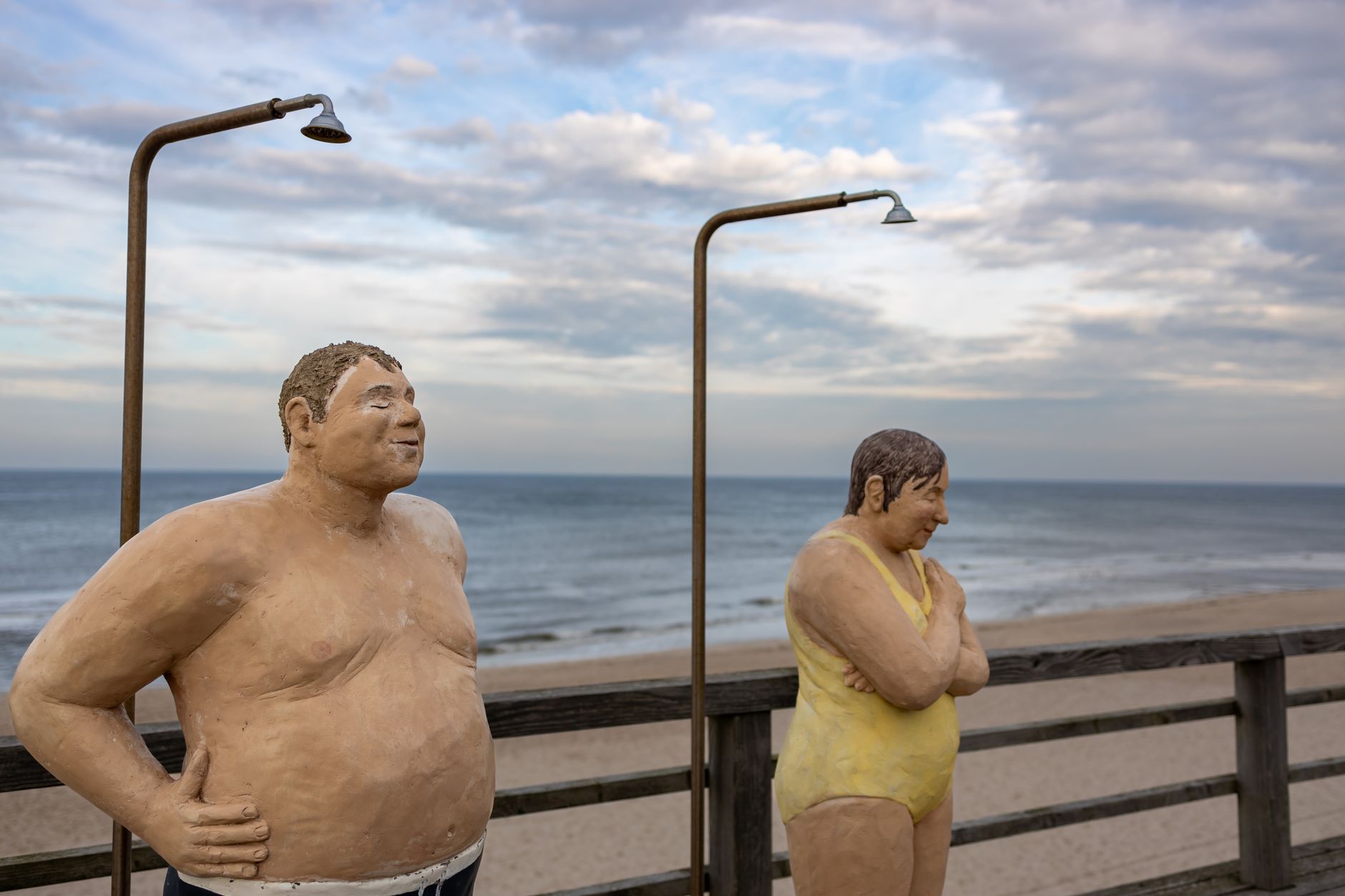
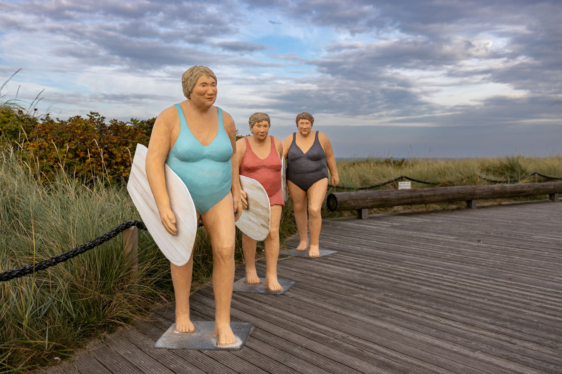
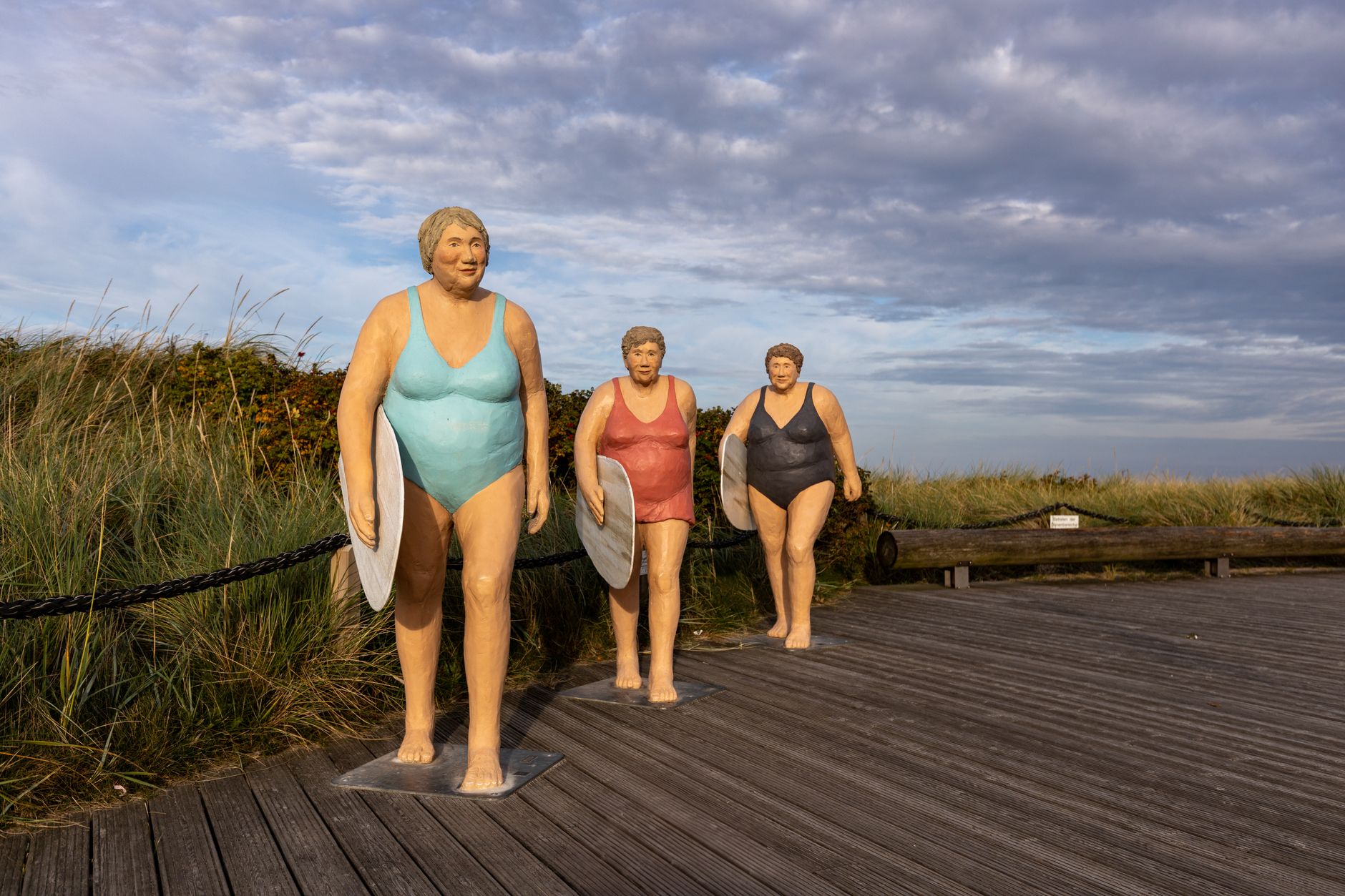
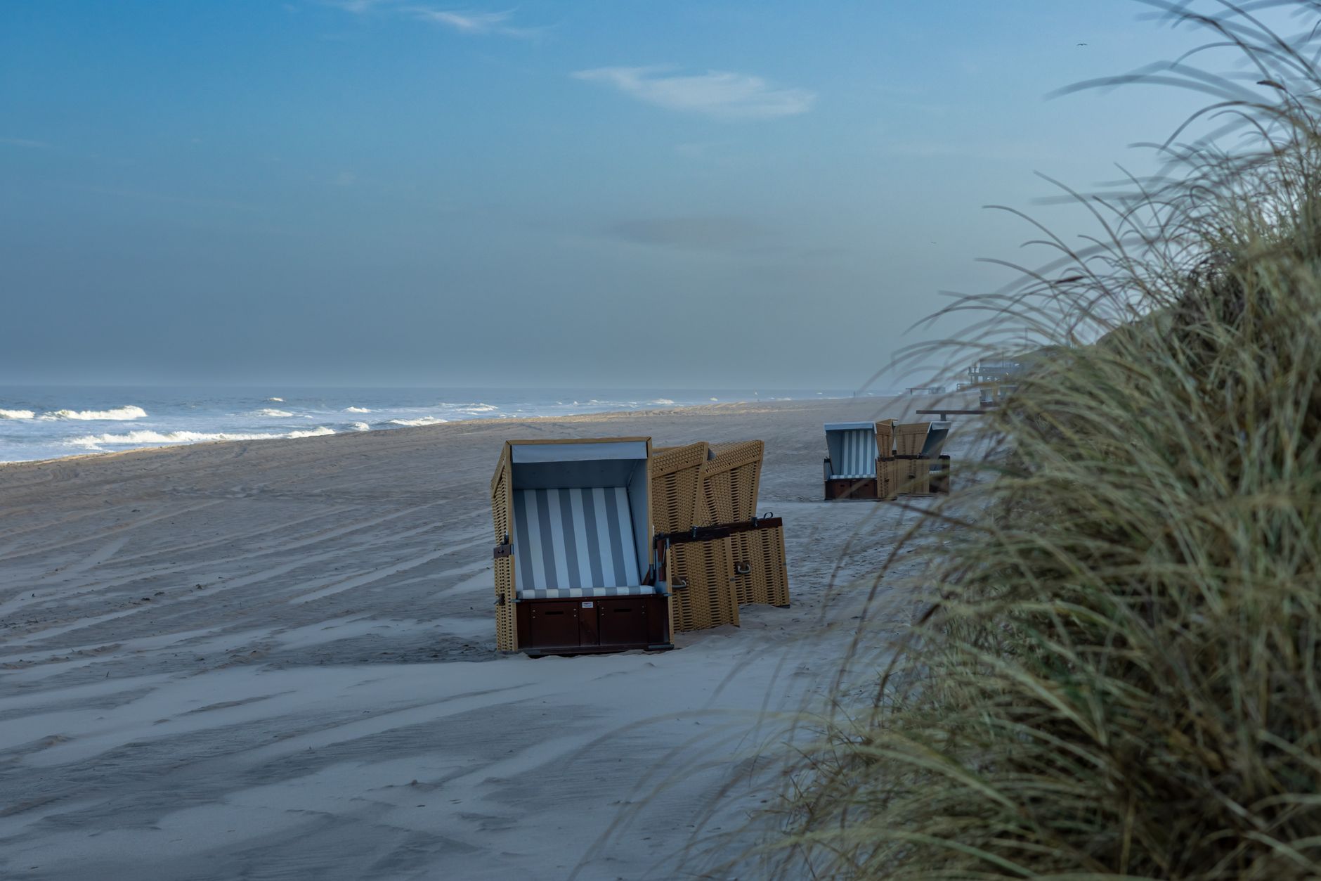
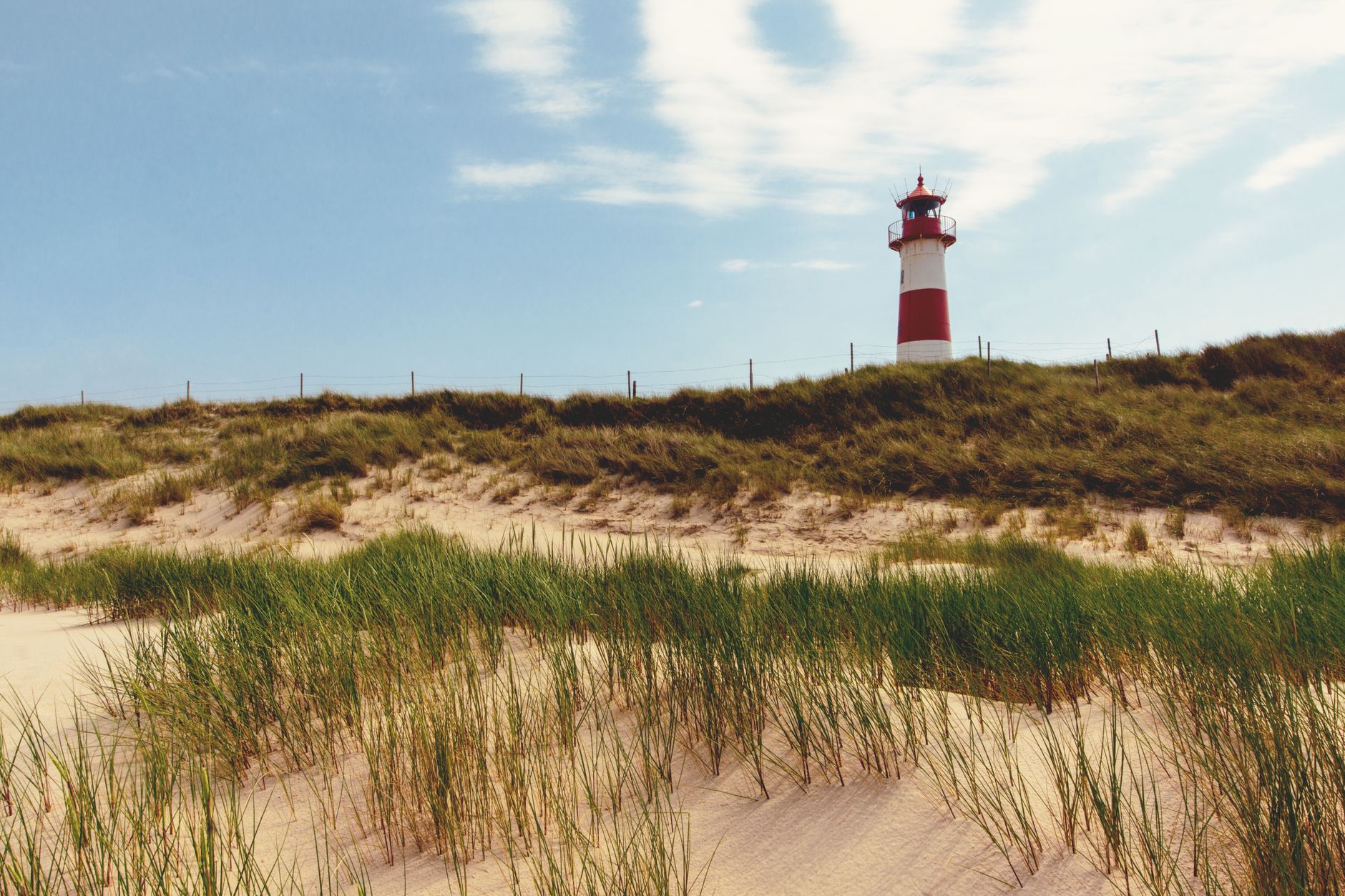
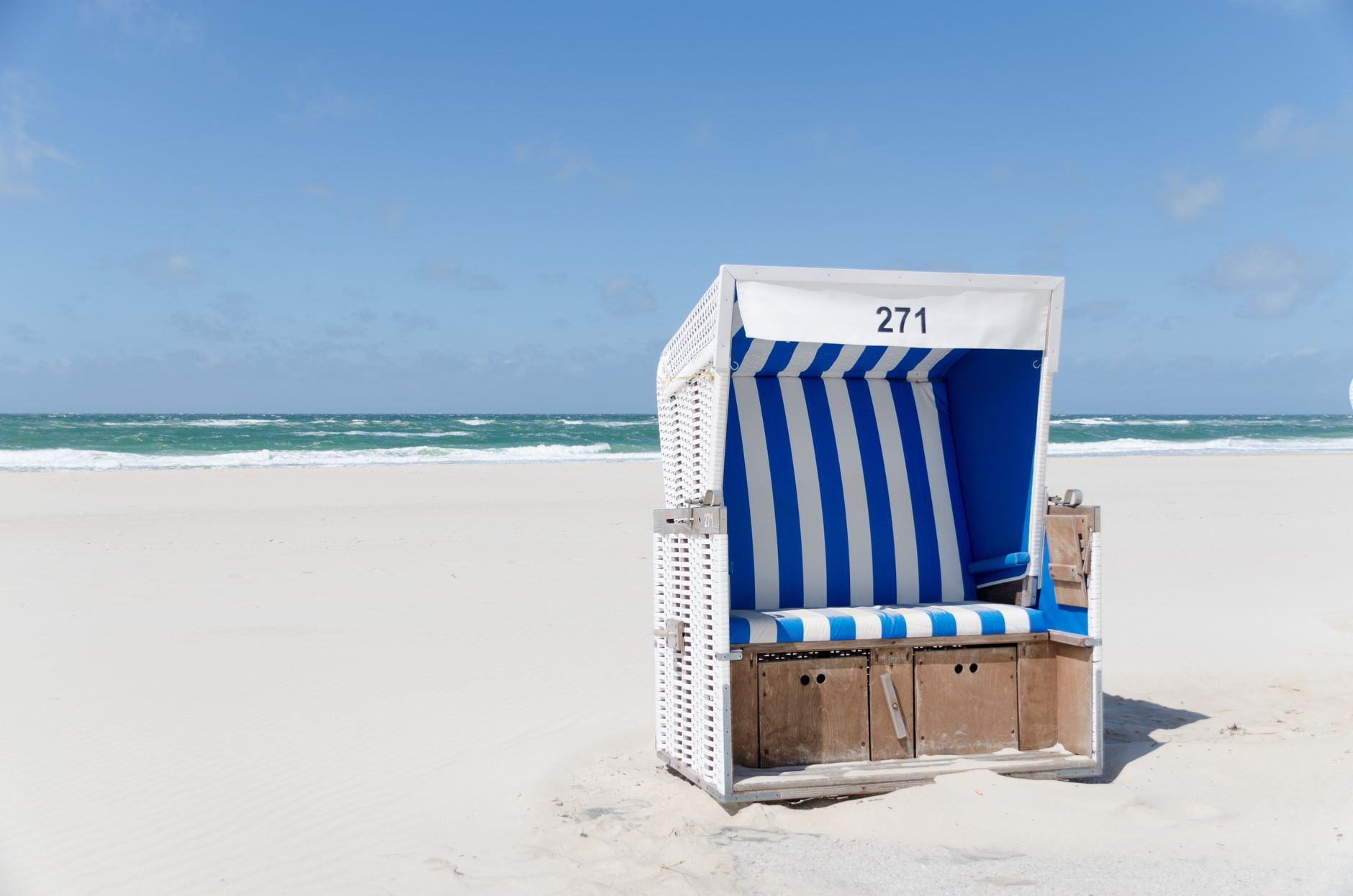
Sylt sits at the far northern edge of Germany, a narrow blade of sand and clay pointing into the North Sea, connected to the mainland by nothing wider than a single railway embankment. The west coast draws the eye first: a long, open beach backed by glacial moraine cliffs that rise almost thirty metres above the surf, striped red and ochre and older than anything built on the island.
The interior rewards the slower look — thatched Frisian houses in Keitum, a church in the same village that has stood for over eight hundred years, and dunes that shift just enough each decade to remind you the island itself is younger than it seems. Sylt only became an island in 1362, when a single catastrophic flood reshaped the North Sea coast for good.
💛 What travellers fall for
People who come back tend to settle into a rhythm: the car train from Niebüll in the morning, thirty-five minutes watching the Wadden Sea slide past the windows, then straight to the beach before the day-trippers arrive. The Red Cliffs near Kampen, they'll tell you, are worth the walk north. Pay the beach fee in advance at your accommodation — it's a small saving, but regulars always know.
Deals in Sylt
Book directly at the provider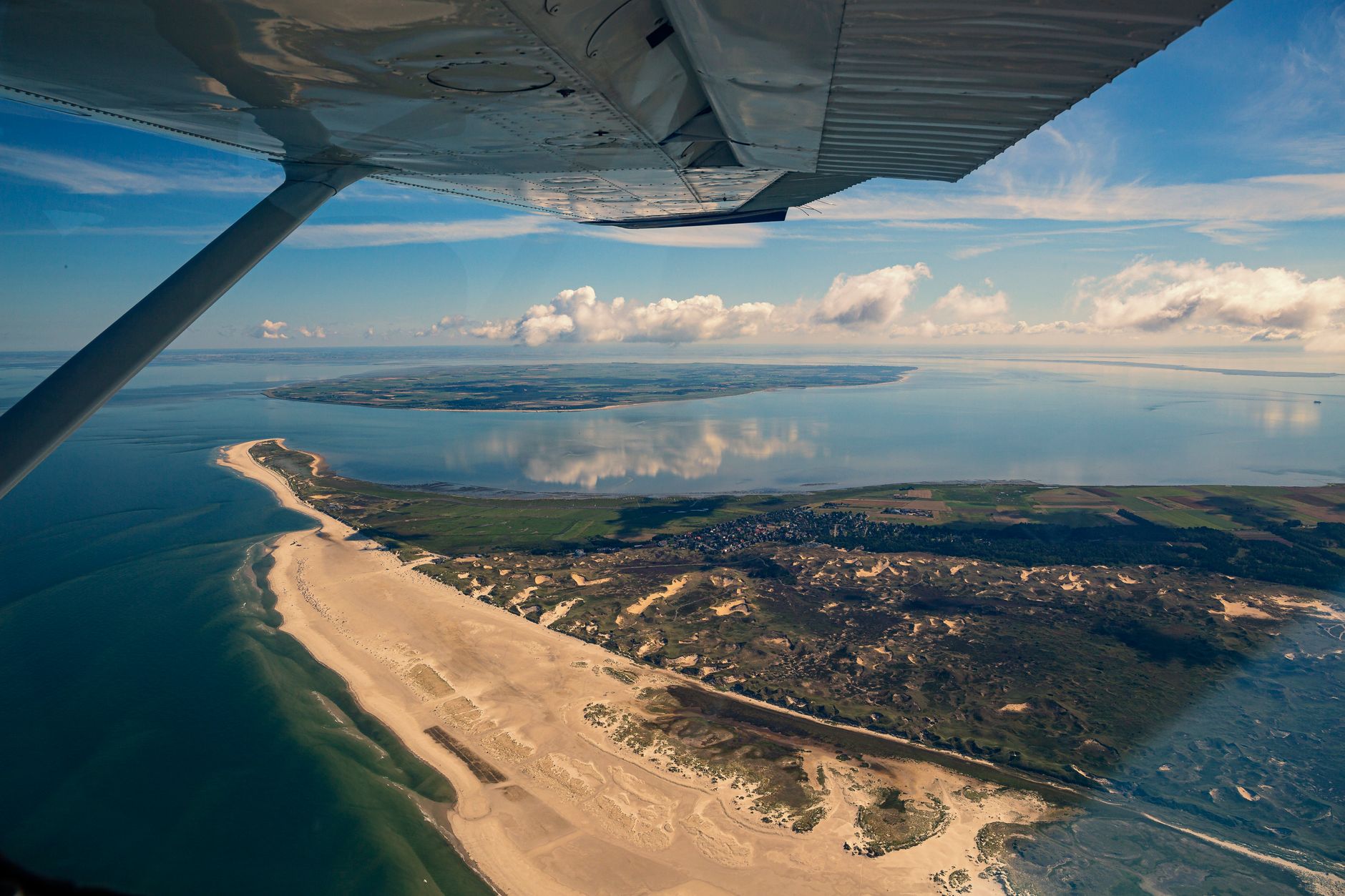


How Sylt came to be
Sylt's existence as an island dates to 1362 and the Grote Mandrenke, a storm surge so severe it permanently separated land that had been connected. Then, in 1436, another storm destroyed the village of Eidum entirely. The survivors rebuilt to the northeast and named their new settlement Westerland — a name that appears in official documents by 1462.
For centuries Westerland remained a modest Frisian community. That changed in 1855, when it was granted official status as a seaside resort, drawing health-seekers north. The theologian Friedrich von Bodelschwingh saw the island's climate as a treatment for pulmonary disease and pushed for the first children's sanatoriums to open here. The railway causeway — the Hindenburgdamm — followed in 1927, and the island's character as a destination, rather than simply a place people lived, was fixed.
Who and what shaped it
People who shaped it
Landmark buildings
See Sylt in motion
Plan your visit
On the map
When to go
Summers are mild and bright with long evenings, but North Sea winds rarely let up entirely — bring a layer even in July. Winter visits are raw and atmospheric, with the beach largely to yourself and the light doing something entirely different to the cliffs.
Right now
Background & history adapted from Wikipedia (CC BY-SA) · specs from Wikidata (CC0) · weather from Open-Meteo · map data © OpenStreetMap contributors · photos from Wikimedia Commons / Unsplash with per-image credit. No third-party reviews or social posts reproduced.