
Spiekeroog
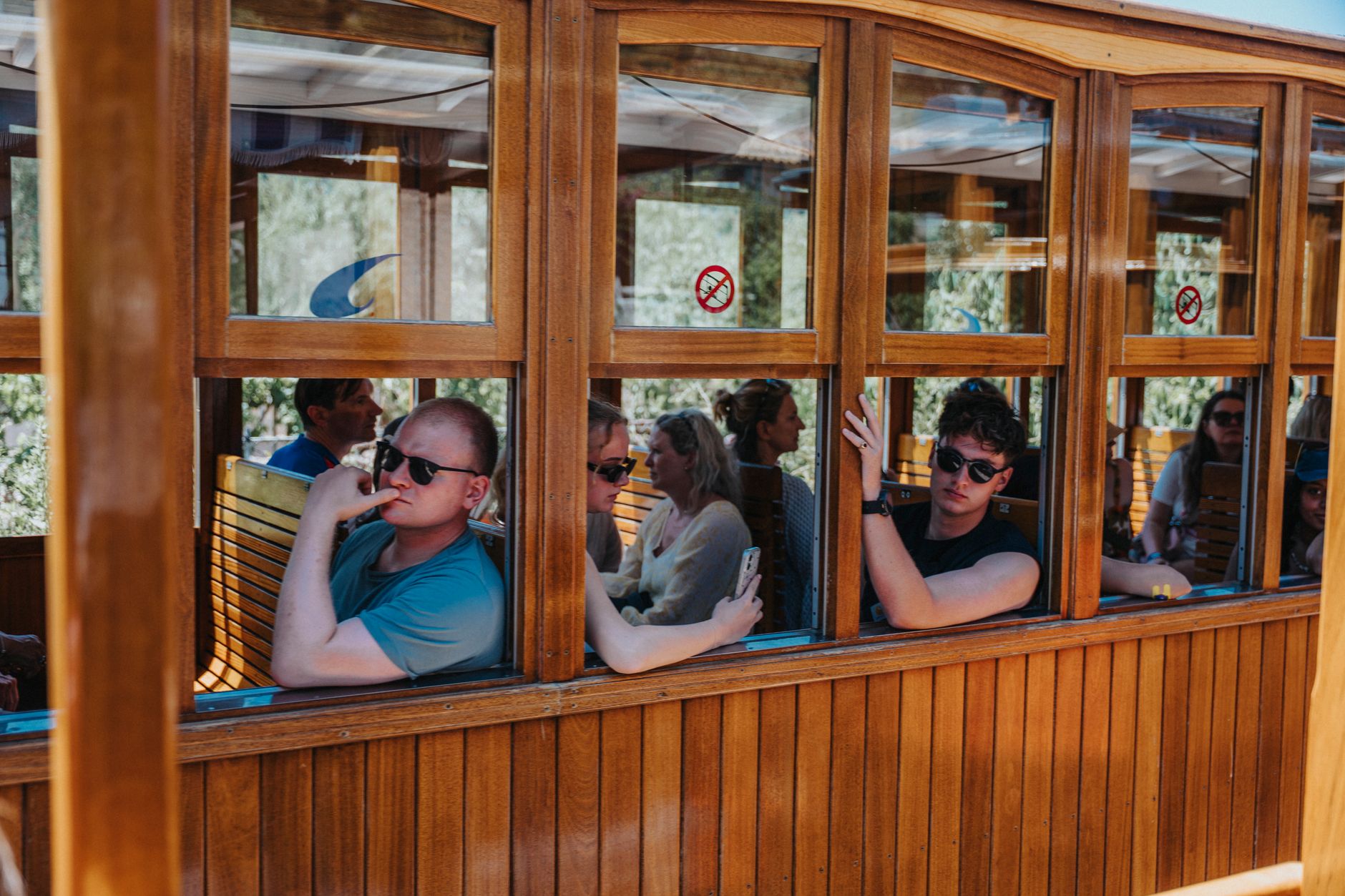
Spiekeroog keeps cars off its roads and horses on its railway. The island's Pferdebahn — a horse-drawn train running between the village and the western beach — was the last of its kind in Germany until diesel replaced it in 1949, and when that experiment ended in 1981, the horses came back. That small, stubborn loop of track tells you something about the place: it resists the obvious solution.
At 24 metres above sea level, the White Dune is the highest point in all of East Frisia. From up there, or from the dunes where Hannes Helmke's bronze figure De Utkieker stands watch, the island reads as a thin strip of sand and marram grass holding itself together against the North Sea.
💛 What travellers fall for
People who return tend to say the same thing: bring your own bicycle from the mainland if you want one, because there's no rental on the island. The distances are short enough to walk, but a bike opens up the salt marshes east toward Wittbülten. The ferry schedule changes daily with the tides, so check it the night before — missing the last crossing is a real possibility.
Deals in Spiekeroog
Book directly at the provider


How Spiekeroog came to be
The name appears in records as early as 1398. By the 17th century, a handful of families were farming, fishing, and quarrying muschelkalk — shell limestone — from the tidal flats. The island had a complicated relationship with pirates: sometimes sheltering them, sometimes robbed by them. Whaling and shipping followed, until Napoleon's blockade against England cut off legitimate trade and smuggling to British-held Heligoland became the primary income.
In 1812, English forces attacked French positions on the island and were driven off. The church at the village centre, built in 1696, predates all of this — and inside it hangs a portrait of the Virgin Mary said to have washed ashore from a Spanish Armada vessel in 1588. Tourism arrived in 1820, and the ferry from Neuharlingersiel, running weekly since 1792, shifted to daily service by 1842.
Who and what shaped it
People who shaped it
Landmark buildings
See Spiekeroog in motion
Plan your visit
On the map
When to go
Summers are comfortable but reliably windy and partly cloudy; August sea temperatures reach around 19°C, which is as warm as the North Sea gets. Winters are long, cold, and exposed — nearly a metre of annual rainfall distributed generously across the year.
Right now
Background & history adapted from Wikipedia (CC BY-SA) · specs from Wikidata (CC0) · weather from Open-Meteo · map data © OpenStreetMap contributors · photos from Wikimedia Commons / Unsplash with per-image credit. No third-party reviews or social posts reproduced.