
Castile and León
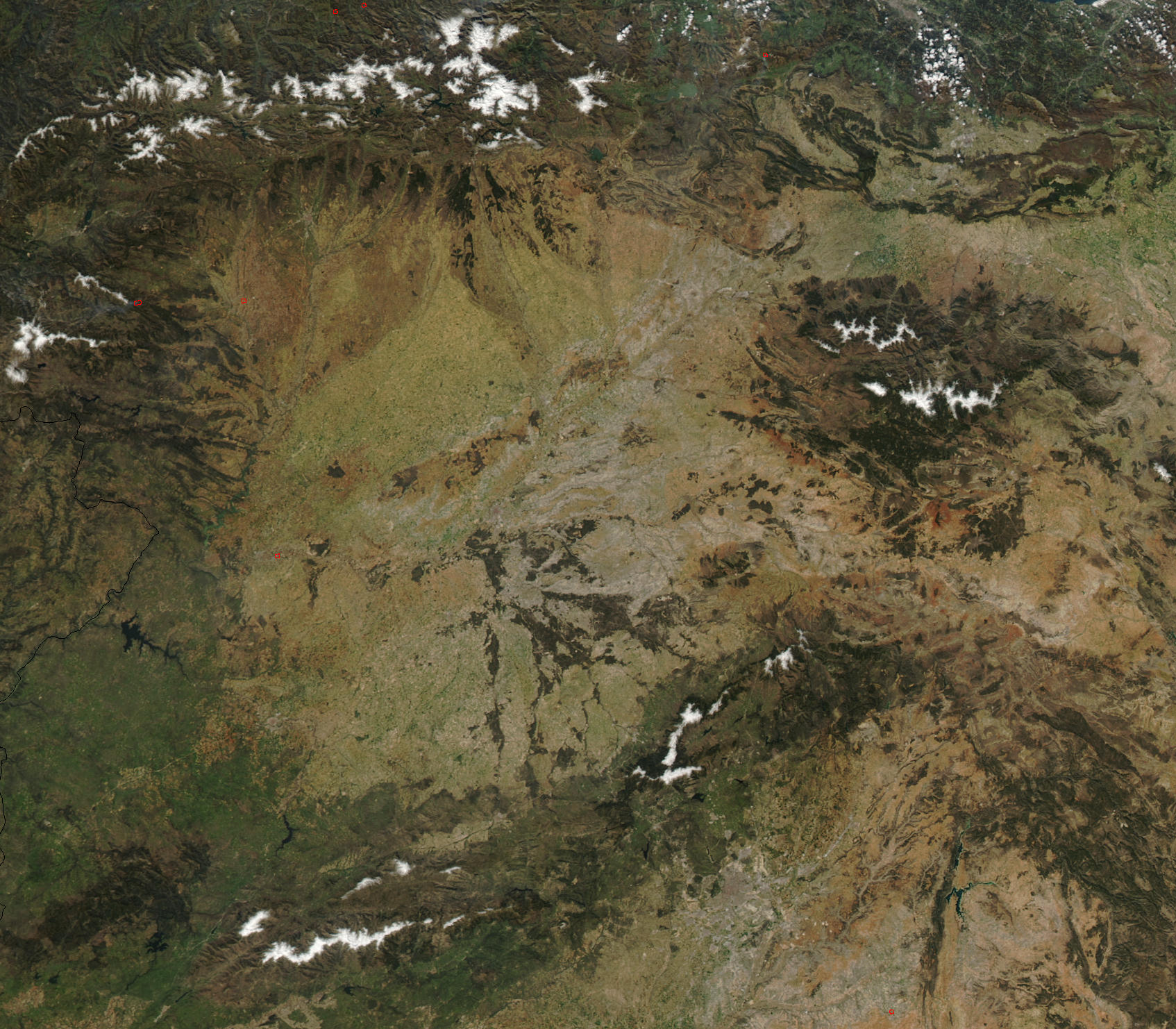
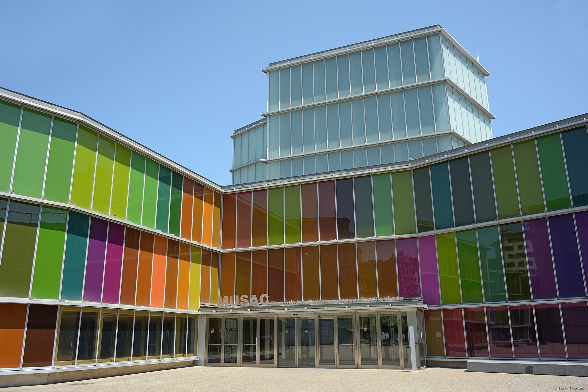
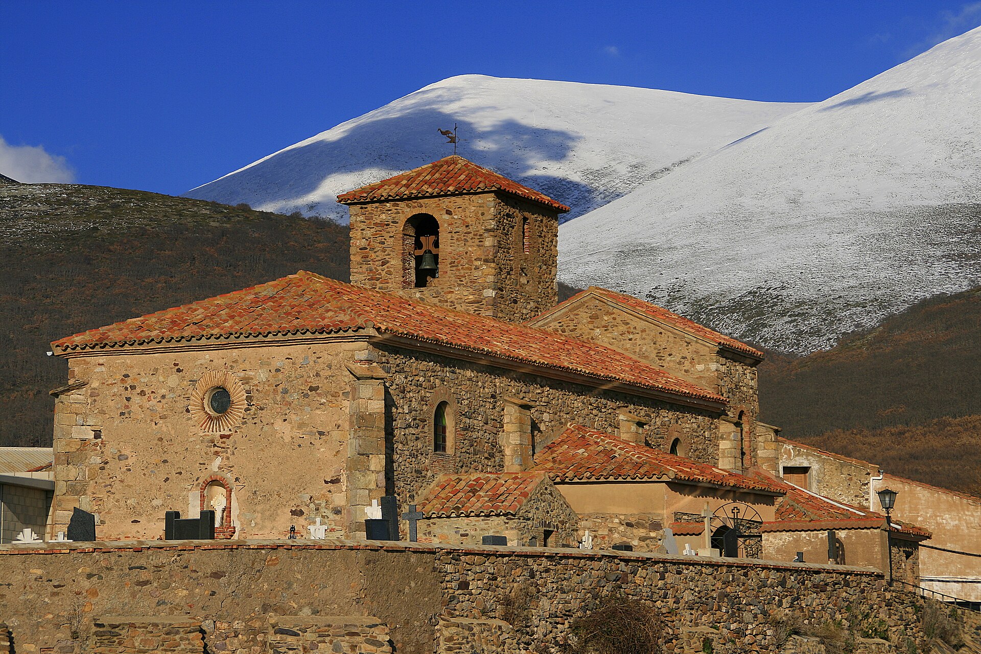
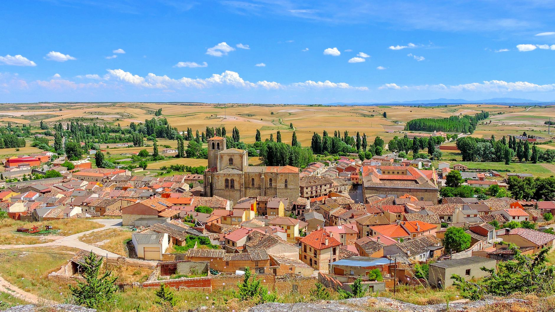
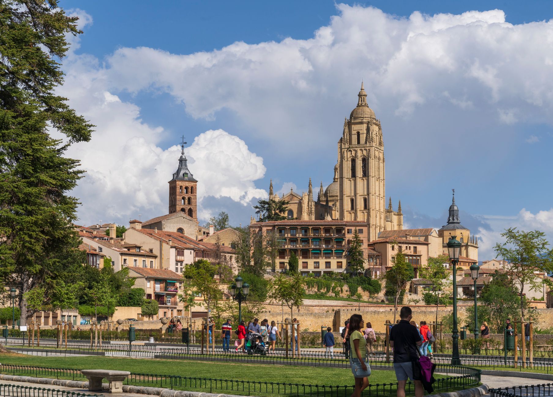
Castile and León is the largest autonomous community in Spain and, by area, one of the biggest administrative regions in the European Union — yet much of it feels unhurried, even austere. The high Meseta plateau stretches between mountain ranges, and across it sit nine provincial capitals, each anchored by a cathedral or an aqueduct or a wall that has been standing longer than most countries have existed.
This is where the Spanish language took its definitive shape, where the Camino de Santiago crosses more than 450 kilometres of open sky, and where the Cortes of León — convened in 1188 — gave the world one of its earliest experiments in parliamentary governance. You move through deep time here without trying.
Popular cities in Castile and León
Experiences you don't want to miss


How Castile and León came to be
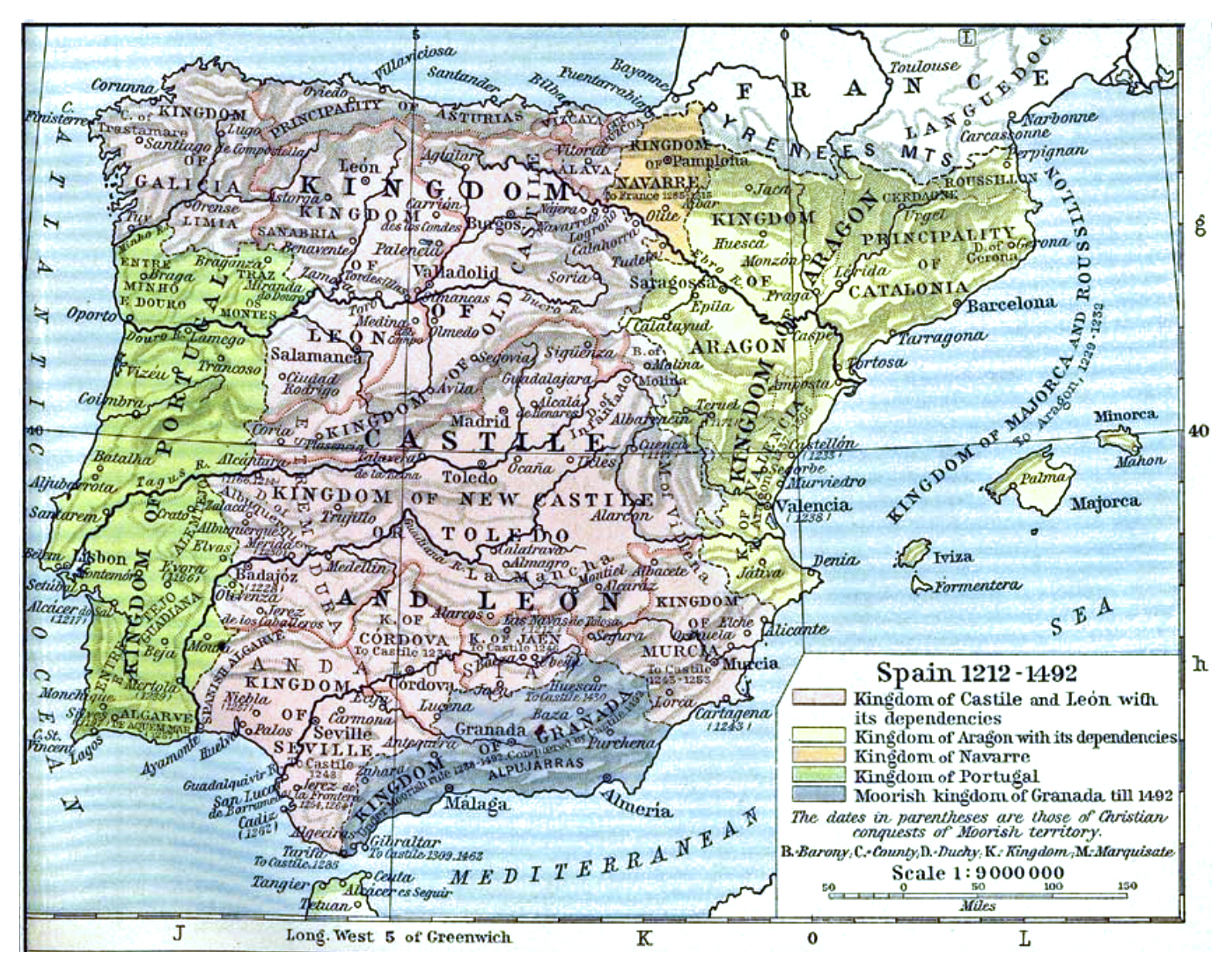
The name Castile first appears around 800 CE as a designation for a district north of Burgos, named — straightforwardly — for its castles. León emerged separately from the Christian Reconquest, and the two kingdoms traded territory and allegiances for centuries before Ferdinand III brought them together permanently in 1230. The region then formed the territorial and political core of a united Spain under the Catholic Monarchs in the late 15th century.
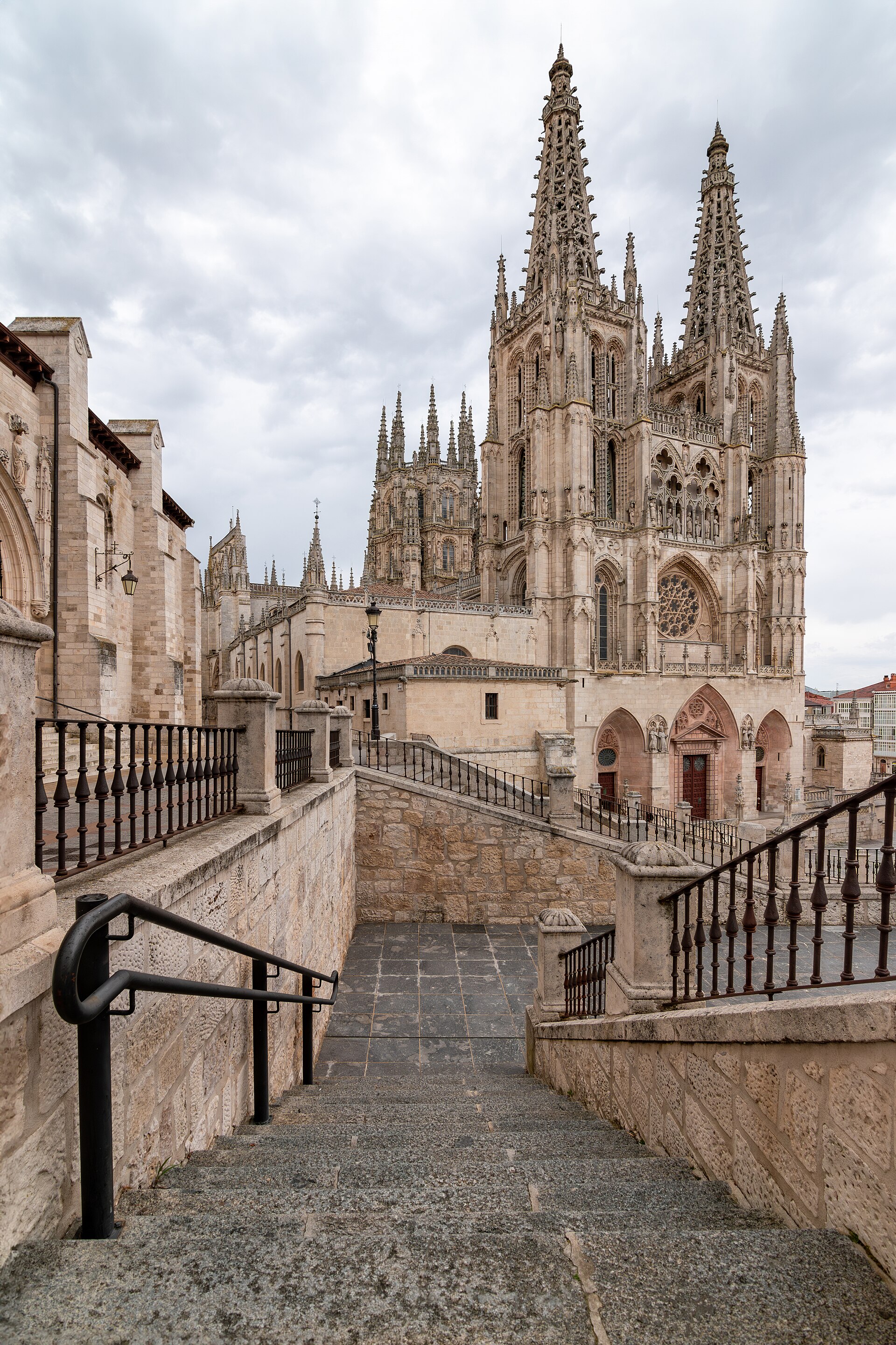
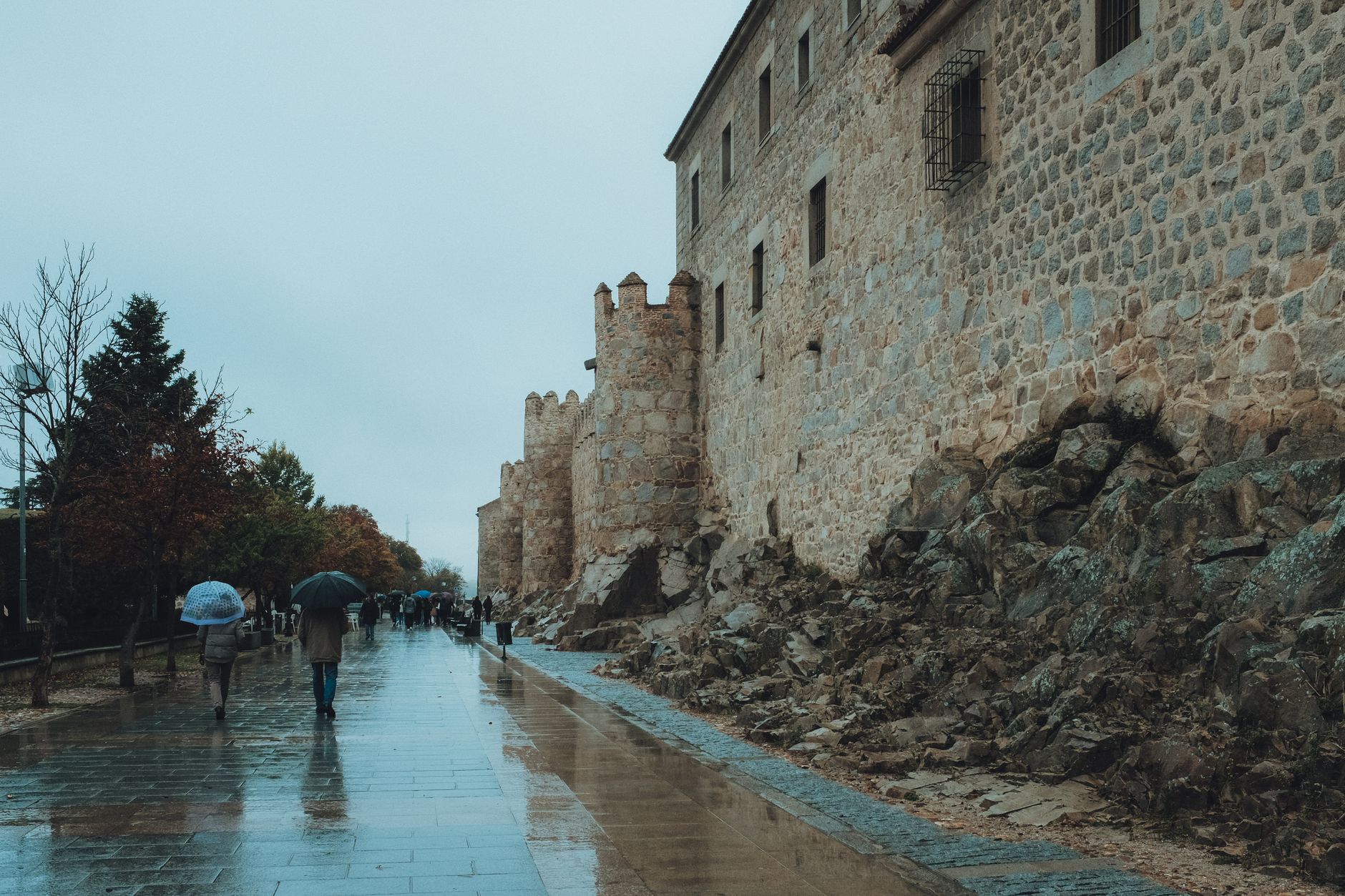
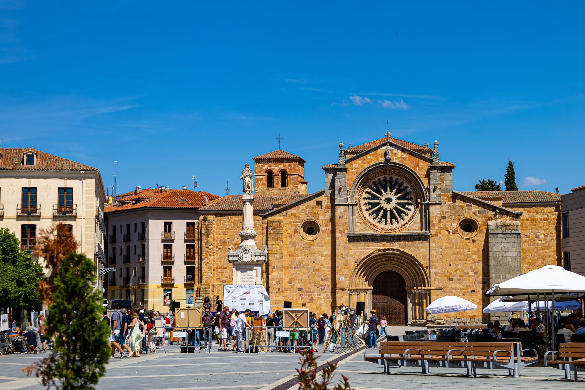
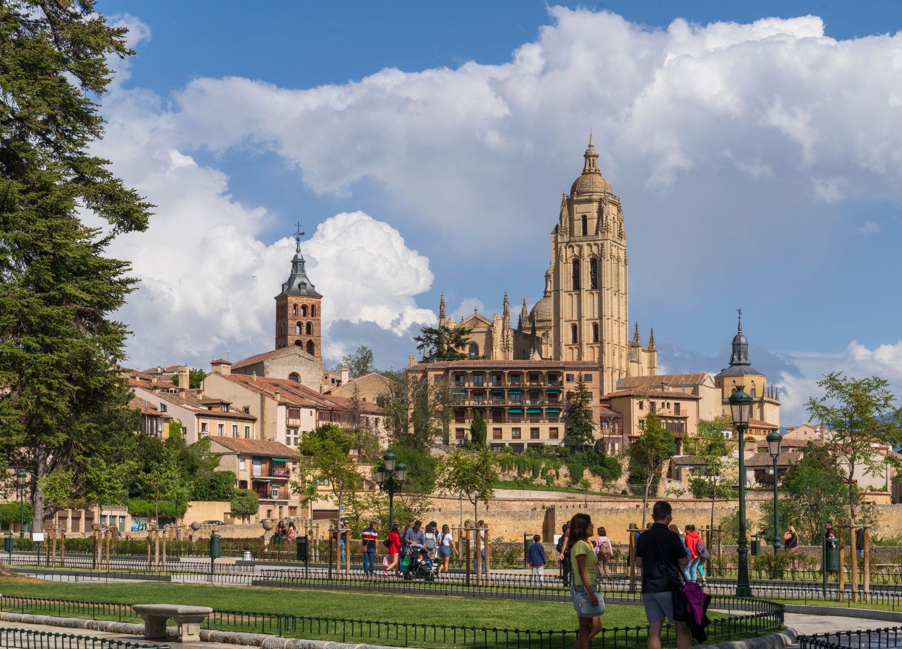
The weight of that history is still legible in stone. Ávila's 12th-century walls encircle the old town for a mile and a half. Burgos Cathedral is a landmark of Gothic architecture. Segovia's Roman aqueduct, raised without mortar between the 1st and 2nd centuries, still stands at the edge of the city centre. Eleven UNESCO World Heritage Sites sit within the region's borders.
Who and what shaped it
People who shaped it
Landmark buildings
See Castile and León in motion
Plan your visit
On the map
When to go
The plateau runs continental and semi-arid: summers are warm and sunny with cool nights, while winters bite hard — Ávila averages 87 frost days a year, and temperatures well below freezing are common from December through February. Spring and autumn bring the most rain and the most comfortable temperatures for walking between cities.
Right now
↡ Cities
No places match these filters.
Background & history adapted from Wikipedia (CC BY-SA) · specs from Wikidata (CC0) · weather from Open-Meteo · map data © OpenStreetMap contributors · photos from Wikimedia Commons / Unsplash with per-image credit. No third-party reviews or social posts reproduced.