
Aranda de Duero
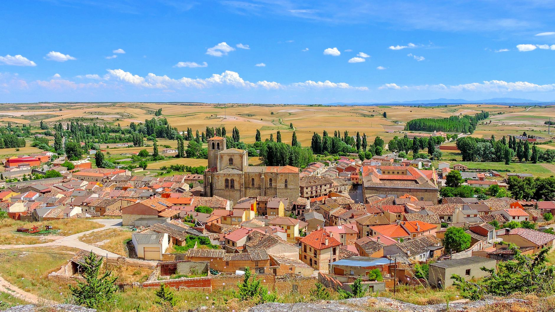
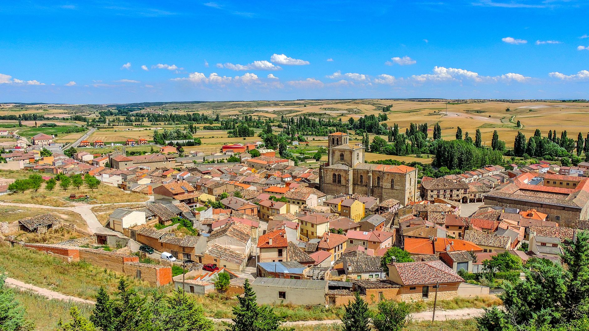
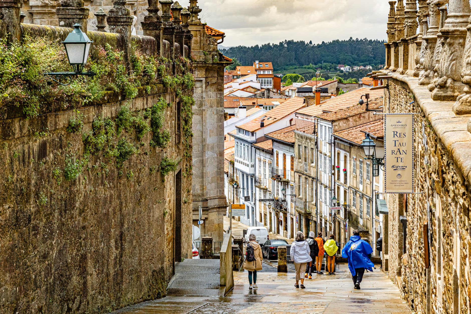
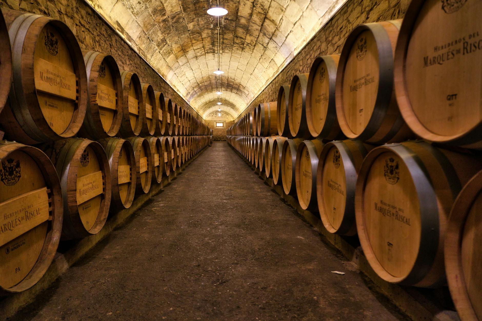
Aranda de Duero sits at the crossing of two rivers and two major roads, which is exactly why it grew into anything at all. Beneath its old town, more than 120 wine cellars tunnel through the rock — dug between the 12th and 17th centuries, holding steady at 10 to 13 degrees year-round — and they tell you something essential about this place: life here has always been organised around the land and what it produces.
The town is compact enough to walk in a morning, but the layers repay slower attention. A 15th-century Isabelline Gothic façade carved by Simon de Colonia. A square that was once a grain market, its arcades built to shelter merchants from the Castilian weather. The first three-dimensional urban map ever made in Spain, drawn here in 1503.
💛 What travellers fall for
People who come back tend to do the cellar tour first, then use the wine glass they hand you at the end as an excuse to find a bar near Plaza del Trigo. The Pottery Museum catches repeat visitors off guard — the Castile and León collection is genuinely substantial. And the Museo Casa de las Bolas, with its Dalí engravings of the Divine Comedy, is easy to miss and worth not missing.
Experiences you don't want to miss



Deals in Aranda de Duero
Book directly at the provider

How Aranda de Duero came to be
The name Aranda de Duero appears in documents from 1088, at the Council of Husillos, though the settlement is thought to predate that record by some margin — a fortress town holding a river crossing. Sancho IV raised it to the status of villa in the 13th century, and two rings of defensive walls followed, the second completed in the 14th century. The town's most prosperous period came under Henry IV of Castile in the late 15th century, when the Church of Santa María la Real was under construction and the Plaza Mayor was taking its current shape.
In 1473, the Council of Aranda convened at the Church of San Juan Bautista — Archbishop Alfonso Carrillo of Toledo presiding. Thirty years later, in 1503, the town commissioned what became the first three-dimensional map produced in Spain, now held in the Simancas Archive.
Who and what shaped it
People who shaped it
Landmark buildings
See Aranda de Duero in motion
Plan your visit
On the map
When to go
Winters are cold and can be sharp — January averages around 10°C — while July pushes to 31°C under a dry Castilian sun. April is the wettest month, with rain spread across roughly half its days; late May, September and October tend to offer the most agreeable conditions for walking the old town.
Right now
Background & history adapted from Wikipedia (CC BY-SA) · specs from Wikidata (CC0) · weather from Open-Meteo · map data © OpenStreetMap contributors · photos from Wikimedia Commons / Unsplash with per-image credit. No third-party reviews or social posts reproduced.