
Black Forest
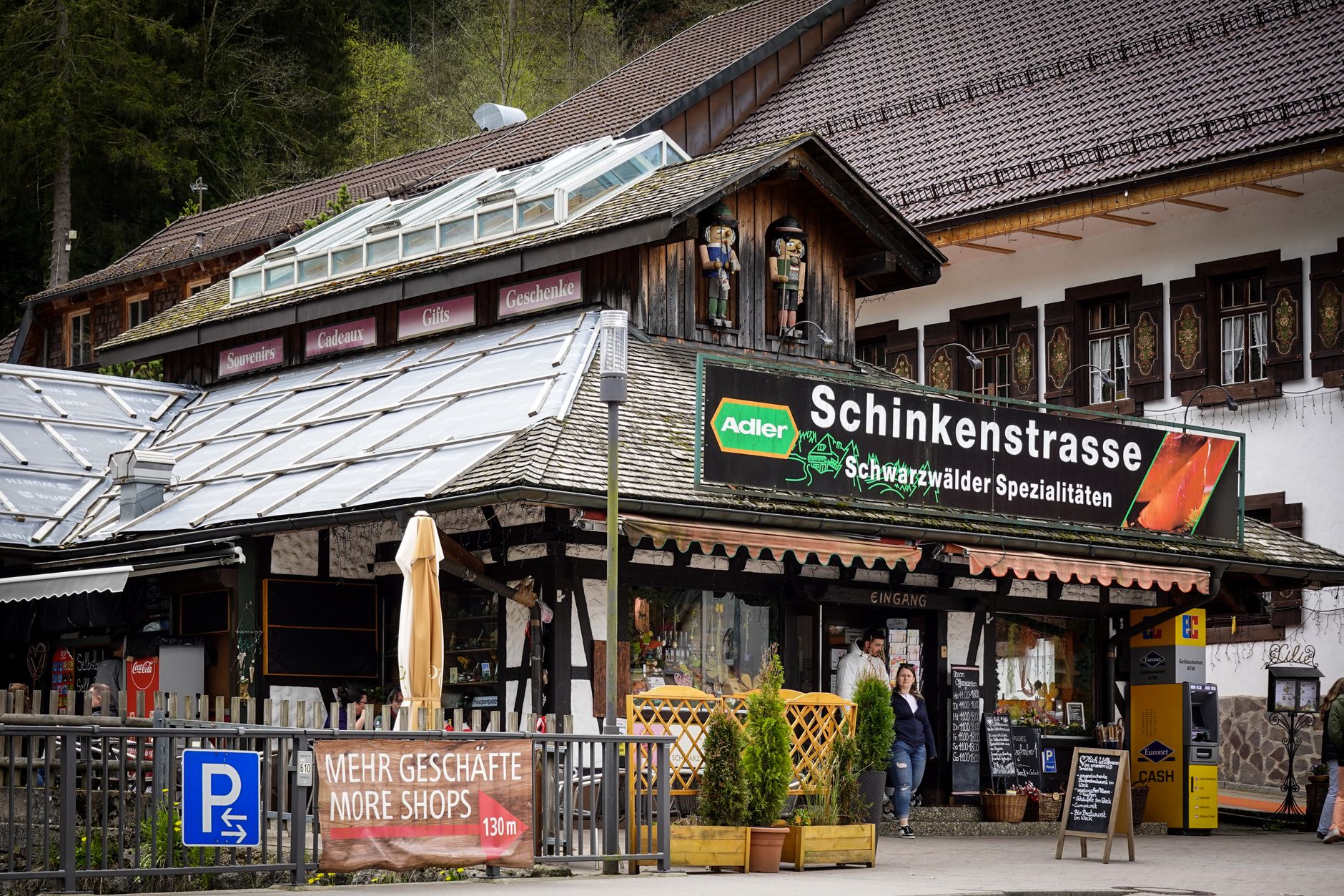
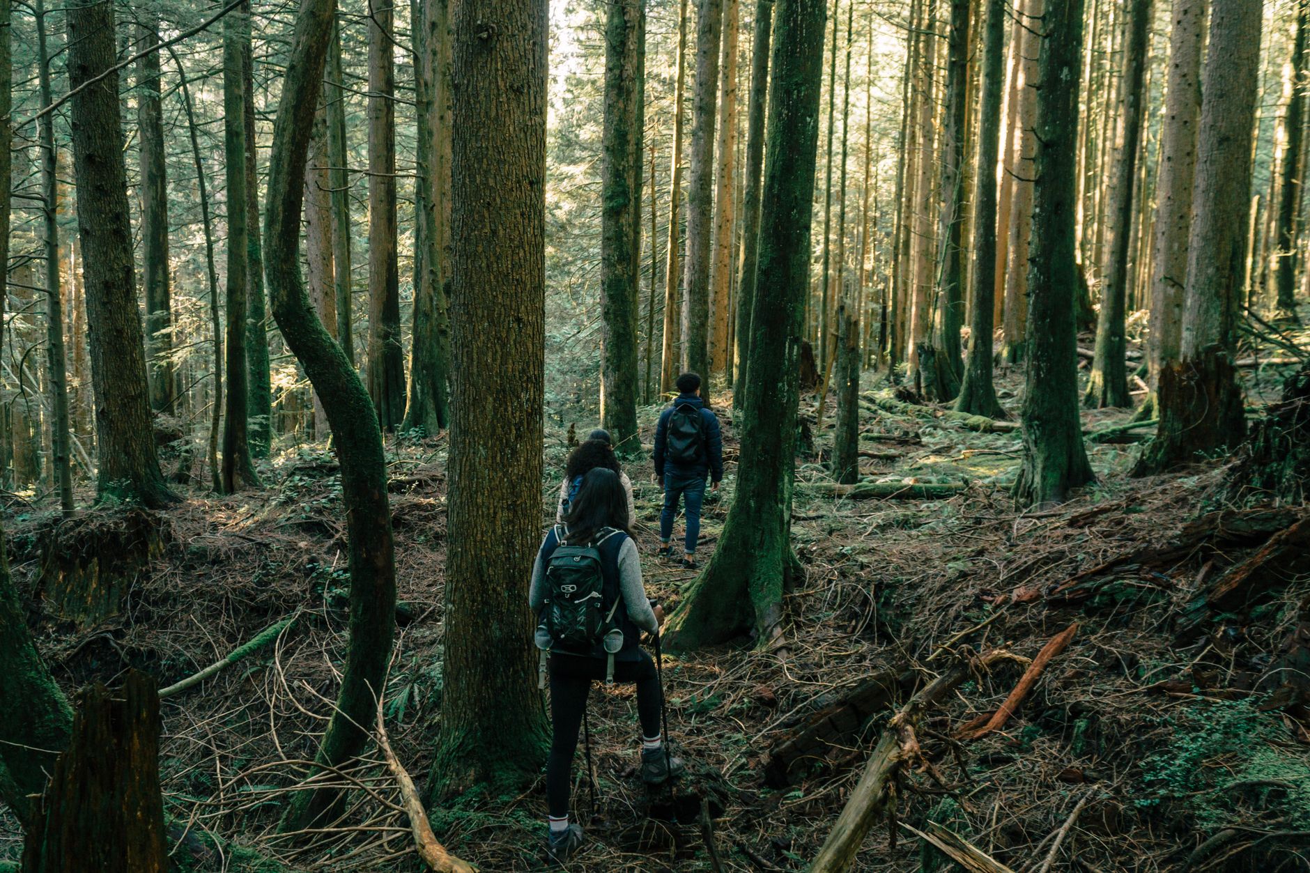

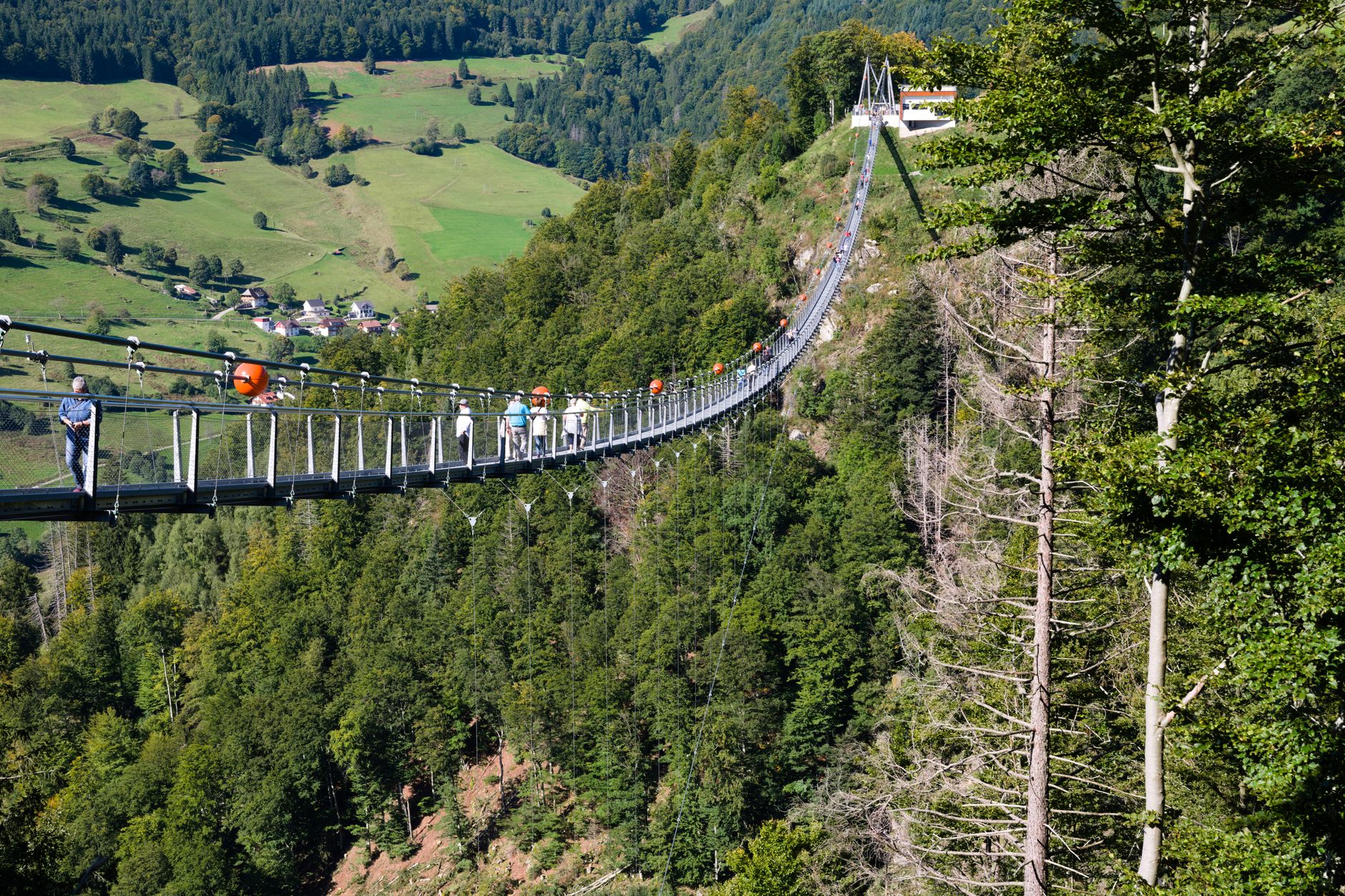

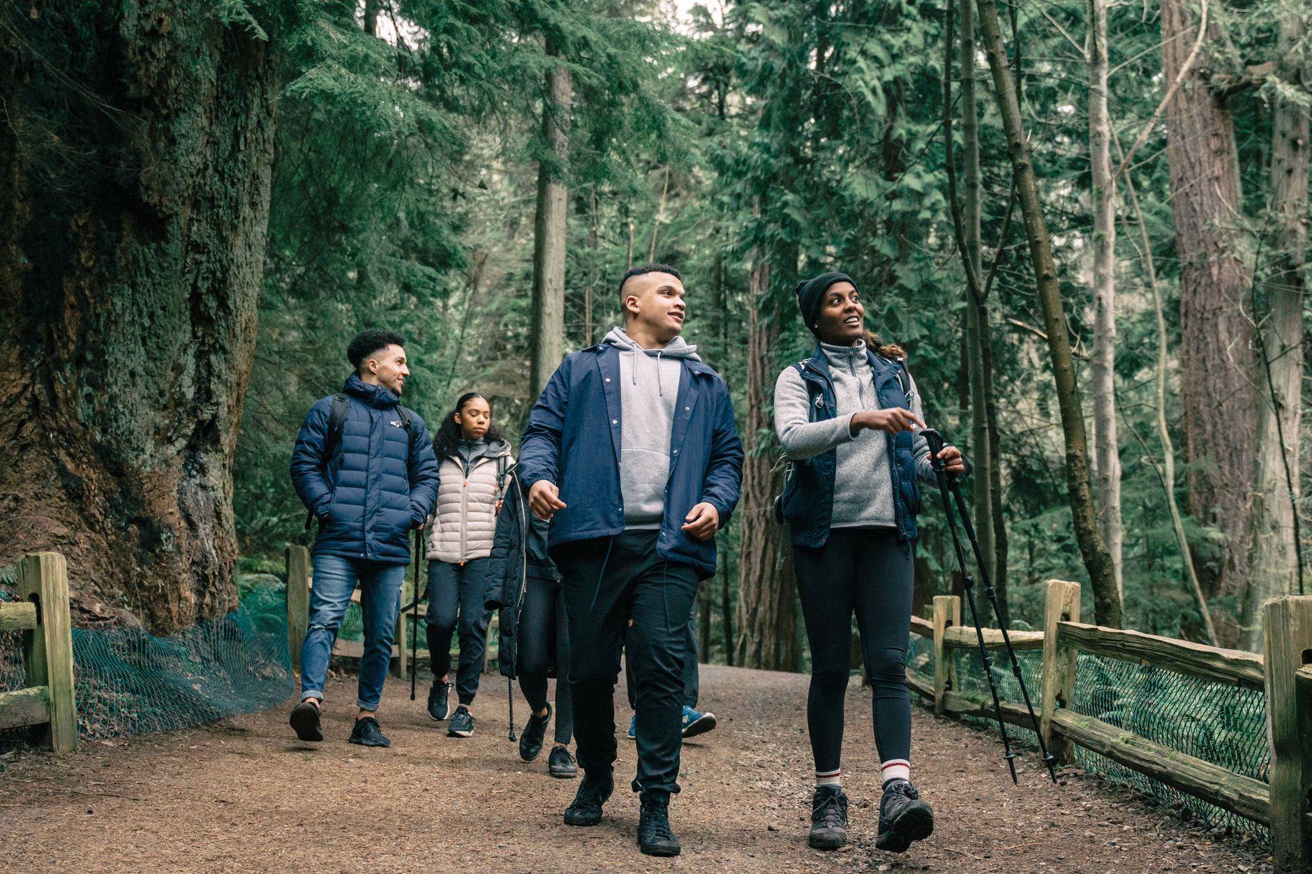
The Black Forest takes its name seriously. Drive south from Karlsruhe and the trees close around you — dense spruce on steep ridges, the light going green and particular. This is a region shaped by forestry, clockmaking, farming and philosophy in roughly equal measure: Martin Heidegger wrote some of his most consequential work in a small hut here, and the walks that fed those ideas are still walkable.
At its southern edge, the Rhine marks the French border; at its heart, the Schwarzwaldbahn railway threads through tunnels the engineers had to cut by hand. The region rewards slow movement — a week on foot, a few days by train, the Konus guest card in your pocket covering local buses and regional rail for free.
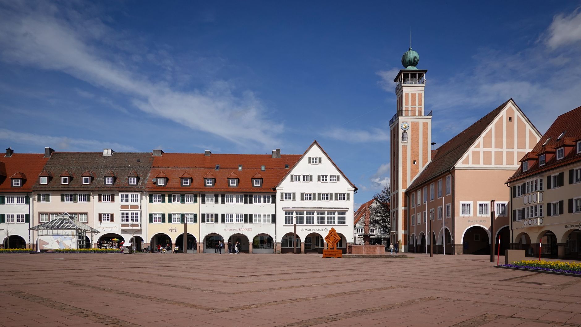
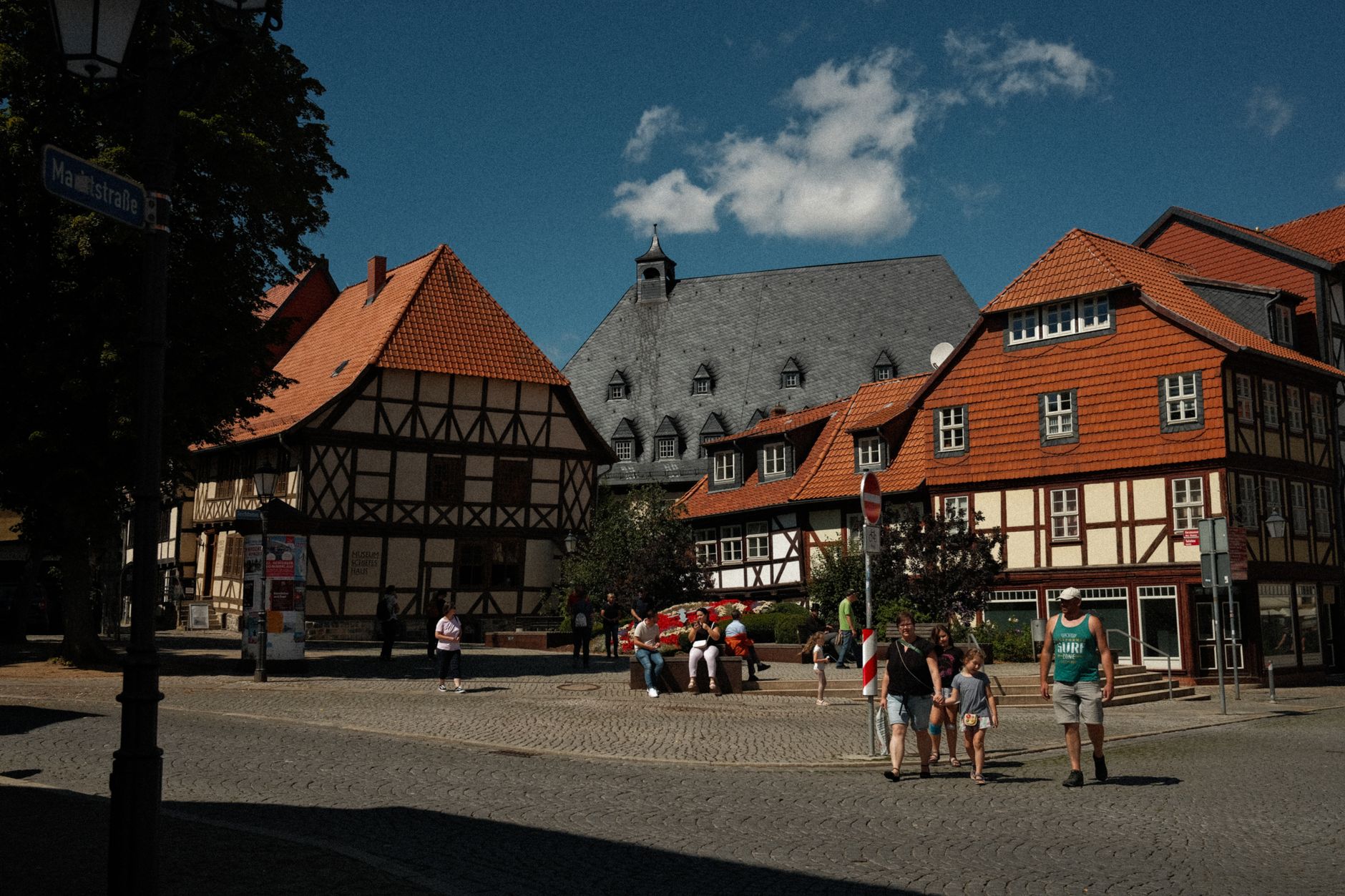
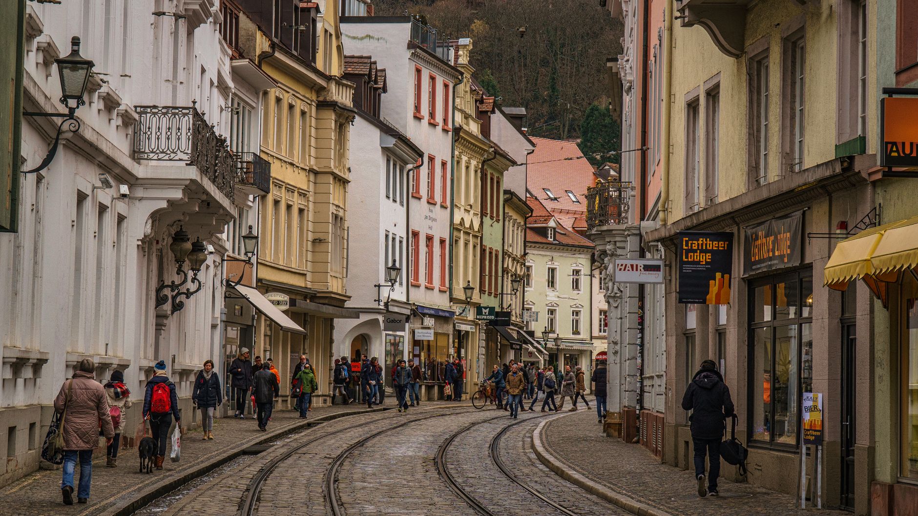
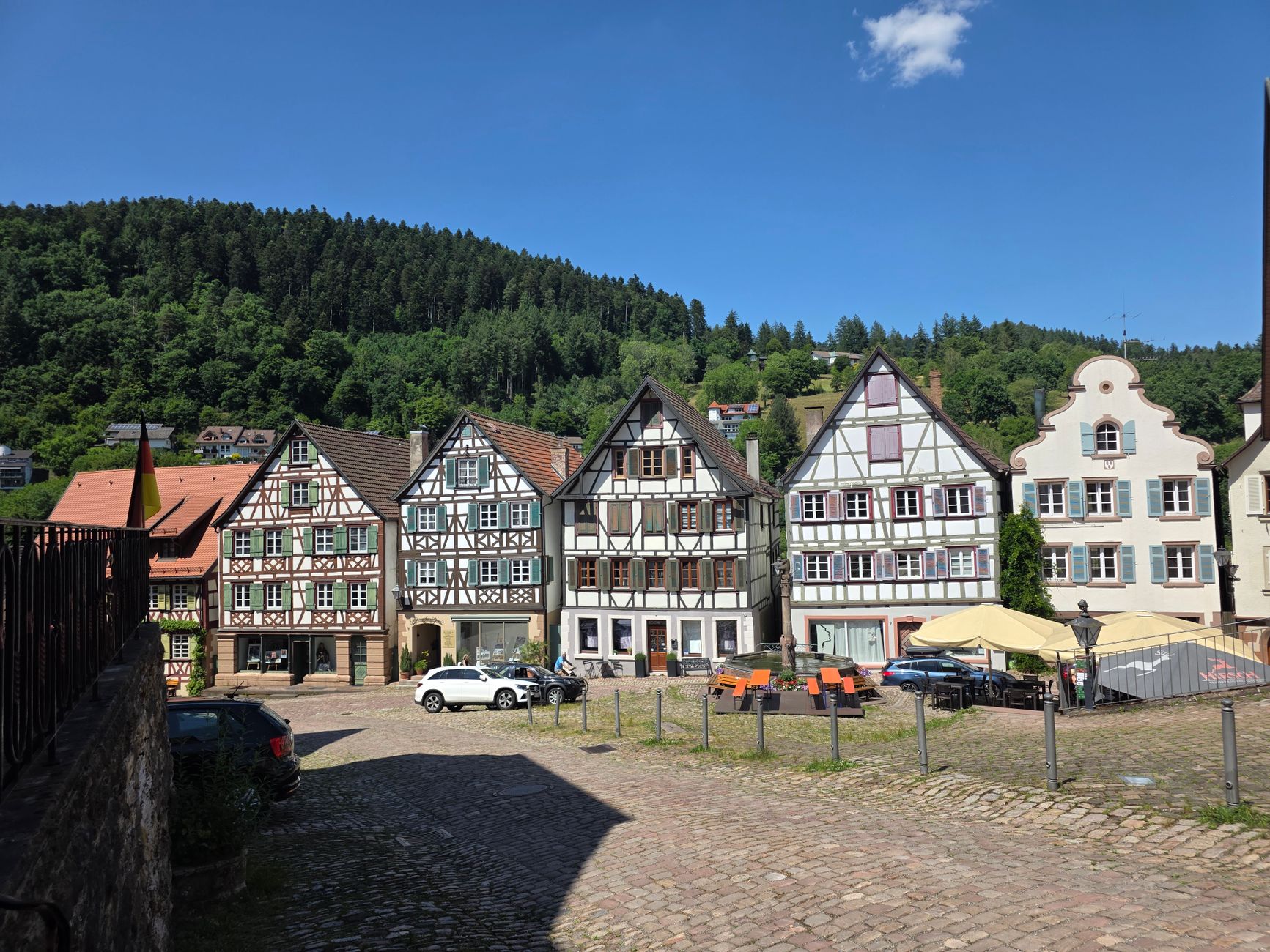
Popular cities in Black Forest
💛 What travellers fall for
Return visitors tend to plan around the Westweg rather than the towns. The long-distance trail runs the full north-south spine of the forest — most people walk a section rather than all of it, picking up the path near Pforzheim or dropping in further south toward Feldberg. The Vogtsbauernhof open-air museum in Gutach earns repeat visits too, especially with children.
How Black Forest came to be
The Romans called it Silva Marciana — the border forest — and built a road through the Kinzig valley, though it was the Alemanni who settled it. The name Rötenbach appears in records as early as 819. By the 16th century, the region was already a source of political friction: the Bundschuh movement and early stirrings of the German Peasants' War took root here, and saltpetre uprisings continued in the Hotzenwald for two centuries after.
The forest itself nearly disappeared. By the mid-19th century, intensive logging had stripped the hills almost bare; the spruce monocultures replanted in response still define much of what you see. Hurricane Lothar downed 50,000 acres in two hours in 1999 — the Lotharpfad boardwalk was built through that wreckage, and the recovery has been slow and visible. The Black Forest National Park, the first in Baden-Württemberg, was established in 2014.
Who and what shaped it
People who shaped it
Landmark buildings
See Black Forest in motion
Plan your visit
On the map
When to go
Summers are warm in the valleys but noticeably cooler on the higher ridges — carry a layer even in July. Winters bring reliable snow above 800 metres, and the southern stretches can feel mild and almost Mediterranean in spring compared to the damp, grey north.
Right now
↡ Cities



Background & history adapted from Wikipedia (CC BY-SA) · specs from Wikidata (CC0) · weather from Open-Meteo · map data © OpenStreetMap contributors · photos from Wikimedia Commons / Unsplash with per-image credit. No third-party reviews or social posts reproduced.