
Freudenstadt
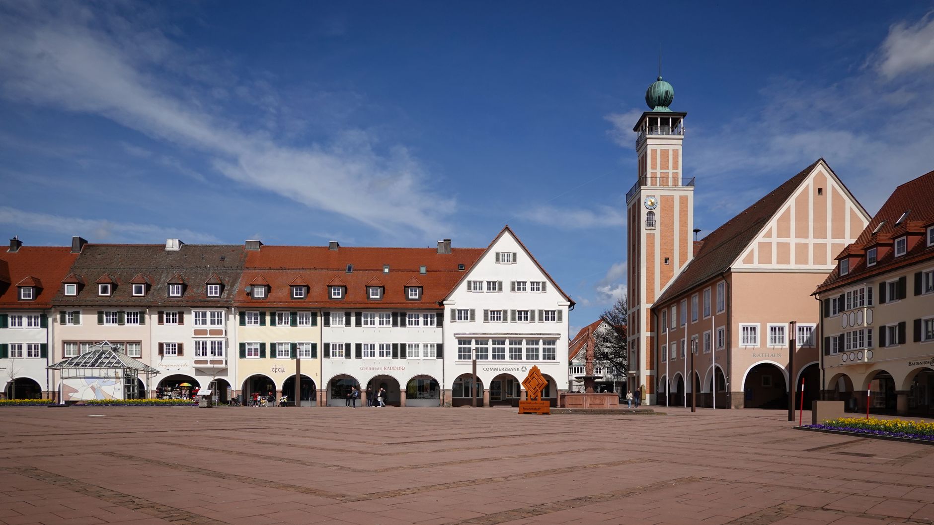
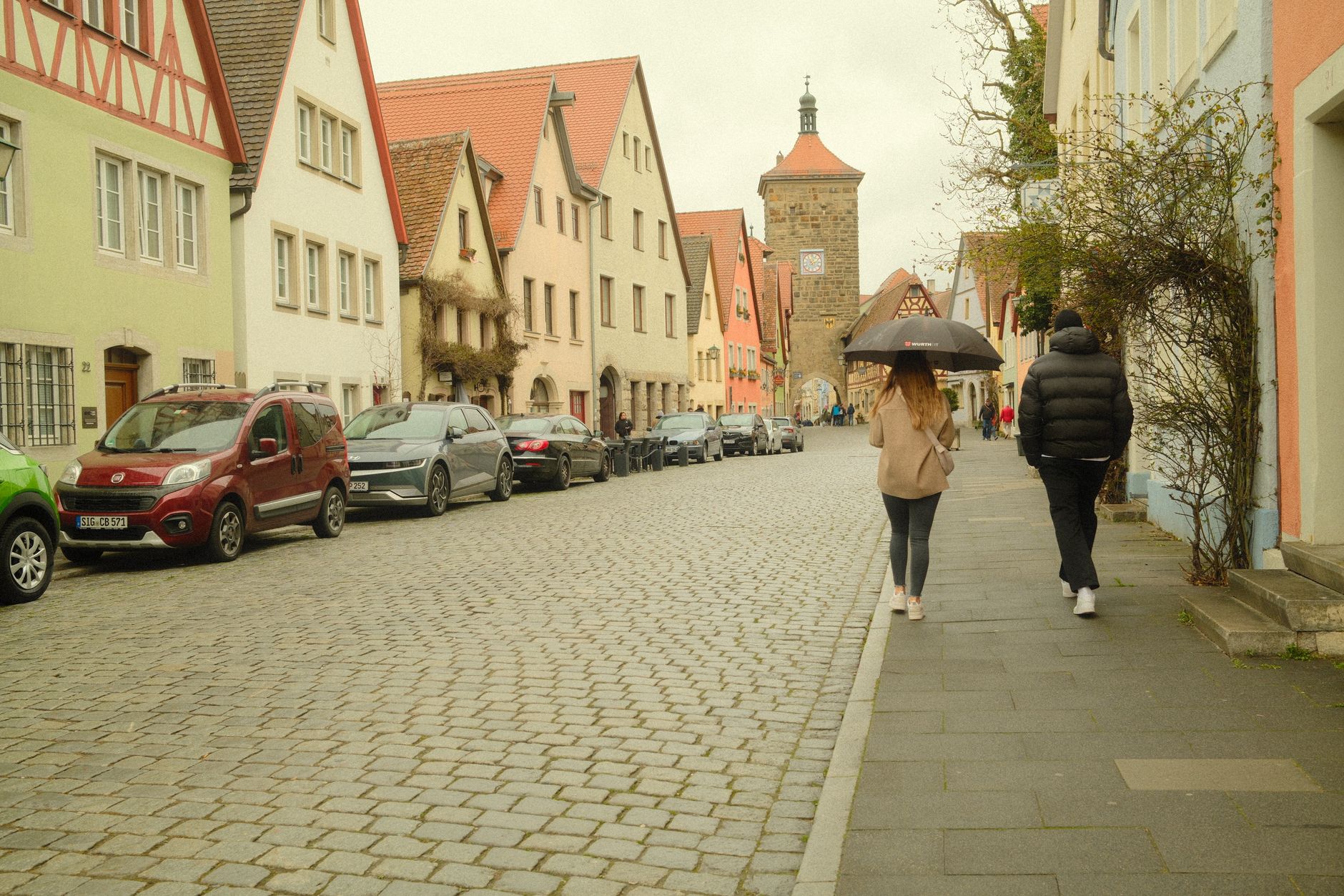
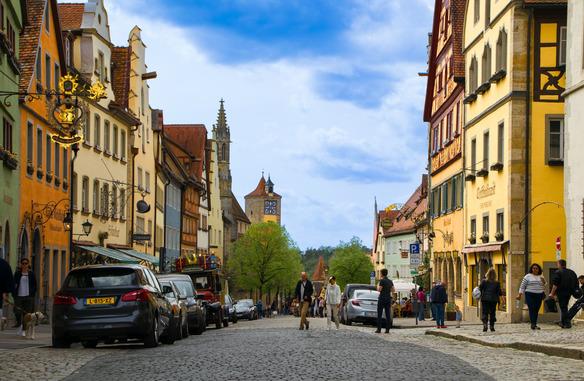
Freudenstadt's defining feature is its silence at the centre. The Marktplatz — over 21,000 square metres, the largest market square in Germany — sits mostly open to the sky, its three arcaded sides framing a space that was always meant to hold a ducal castle that was never built. The emptiness is not accidental; it is the plan, frozen in 1608 when the duke died and the ambition died with him.
What fills the square now is light, fountain water, and the particular pleasure of walking an L-shaped Lutheran church built in a style caught between Gothic and Renaissance. Freudenstadt is a planned town that history kept rearranging — by war, by fire, by artillery in 1945 — and what you see today is the result of that long, stubborn process of rebuilding.
💛 What travellers fall for
People who come back tend to mention the Friedrichsturm early in the conversation — the 25-metre red sandstone tower on the Kienberg, built for the town's 300th anniversary, at 799 metres above sea level. On a clear morning, before the valley fills with haze, the view over the Murg reaches further than you expect. The Rosenweg below it, 2km of wild and shrub roses, peaks in early June.
Deals in Freudenstadt
Book directly at the provider
How Freudenstadt came to be
Duke Frederick I of Württemberg founded Freudenstadt in 1599 with a specific population in mind: some 11,000 Protestants who had been expelled or had fled from Inner Austrian provinces the previous year. Architect Heinrich Schickhardt drew up the grid plan, and the duke issued a call for settlers in 1601, offering building plots, timber and fields. The castle at the square's heart was never completed — Frederick died in 1608 — and the open centre has defined the town's character ever since.
The Thirty Years' War burned much of it in 1634; the population, which had reached around 3,000, fell to 300 by 1652. The town rebuilt. Then, on 16–17 April 1945, French First Army artillery destroyed roughly 95% of the inner city. The Stadtkirche, the town hall, most of the arcades — all went. Reconstruction was complete by the mid-1950s, following the original Schickhardt lines closely enough that the geometry still reads as he intended it.
Who and what shaped it
People who shaped it
Landmark buildings
See Freudenstadt in motion
Plan your visit
On the map
When to go
Summers run warm — July averages around 24°C, with occasional heat above 30°C — making the elevated Kienberg walks genuinely comfortable in the morning before midday. Winters are cold and can be snowy, with mean temperatures near 4°C in February; the town sits high enough in the northern Black Forest that rainfall is generous year-round, so a layer and a waterproof are sensible in any season.
Right now
Background & history adapted from Wikipedia (CC BY-SA) · specs from Wikidata (CC0) · weather from Open-Meteo · map data © OpenStreetMap contributors · photos from Wikimedia Commons / Unsplash with per-image credit. No third-party reviews or social posts reproduced.