
Schluchsee
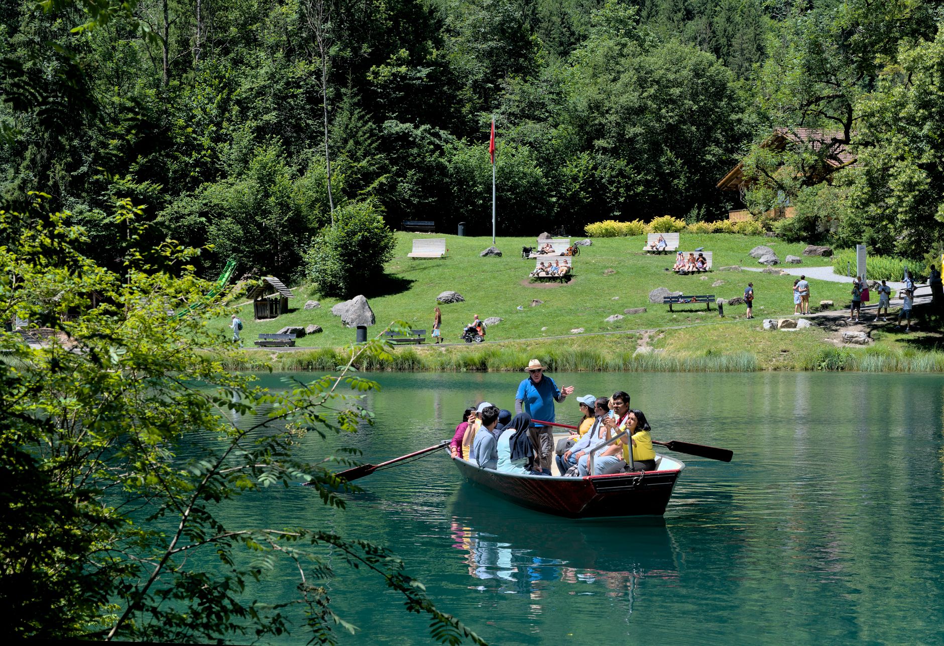
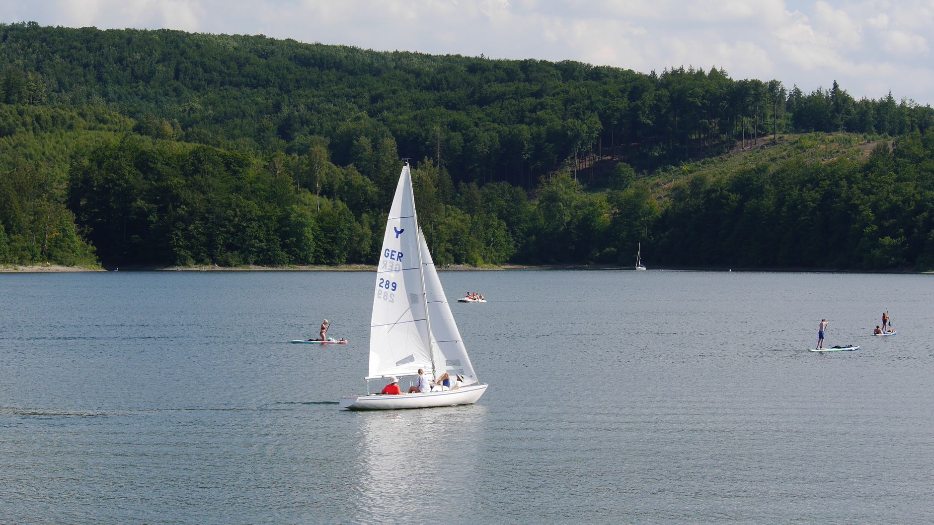
The lake you see today is not quite the lake that was here before. Between 1929 and 1932, workers dammed the river Schwarza and blasted a tunnel through the rock to deepen the original glacial lake by thirteen metres — tripling its surface area in the process. What had been a modest Alpine hollow became one of the largest reservoirs in the Black Forest, sitting at 930 metres above sea level with water cold enough to remind you of that altitude even in July.
Almost the entire eighteen-kilometre shoreline is walkable, which sets Schluchsee apart from its more crowded neighbour to the north. The Dreiseenbahn rattles in from Titisee along the northern shore, dropping passengers at three stations — Aha, Schluchsee, Seebrugg — and connecting onward to Freiburg through the dramatic Höllental valley.
💛 What travellers fall for
People who return tend to do the full lake circuit early, before the summer crowds arrive from across the Swiss border. The path is almost entirely flat — good for a pram, manageable before breakfast. The diving base in the old Seebrugg station building is a quieter draw: the water is clear and genuinely cold, and the depths still hold traces of the valley that was flooded.
Deals in Schluchsee
Book directly at the provider
How Schluchsee came to be
The first written record of Schluchsee dates to 1076. By 1125 the estate had been donated to Saint Blaise Abbey, and through the medieval period the House of Fürstenberg held bailiwick rights over the area. The abbey reclaimed sovereignty at the end of the seventeenth century, only for the land to change hands again in the upheavals of the early nineteenth century — to the Knights Hospitaller von Heitersheim in 1803, then to the Grand Duchy of Baden in 1806.
The modern town took its present shape more recently. The dam construction of 1929–32 transformed the landscape fundamentally, and in 1983 the reservoir was almost entirely drained for inspection — briefly returning the drowned valley floor to view for the first time in half a century. The surrounding villages of Faulenfürst, Fischbach, Schönenbach and Blasiwald were absorbed into the municipality between 1971 and 1974.
Who and what shaped it
People who shaped it
Landmark buildings
See Schluchsee in motion
Plan your visit
On the map
When to go
At 930 metres, the lake stays cool even through summer — refreshing for swimmers, worth a layer in the evenings. Winters bring reliable snow, drawing cross-country skiers and snowshoers to the trails around the shore.
Right now
Background & history adapted from Wikipedia (CC BY-SA) · specs from Wikidata (CC0) · weather from Open-Meteo · map data © OpenStreetMap contributors · photos from Wikimedia Commons / Unsplash with per-image credit. No third-party reviews or social posts reproduced.