
Todtnau
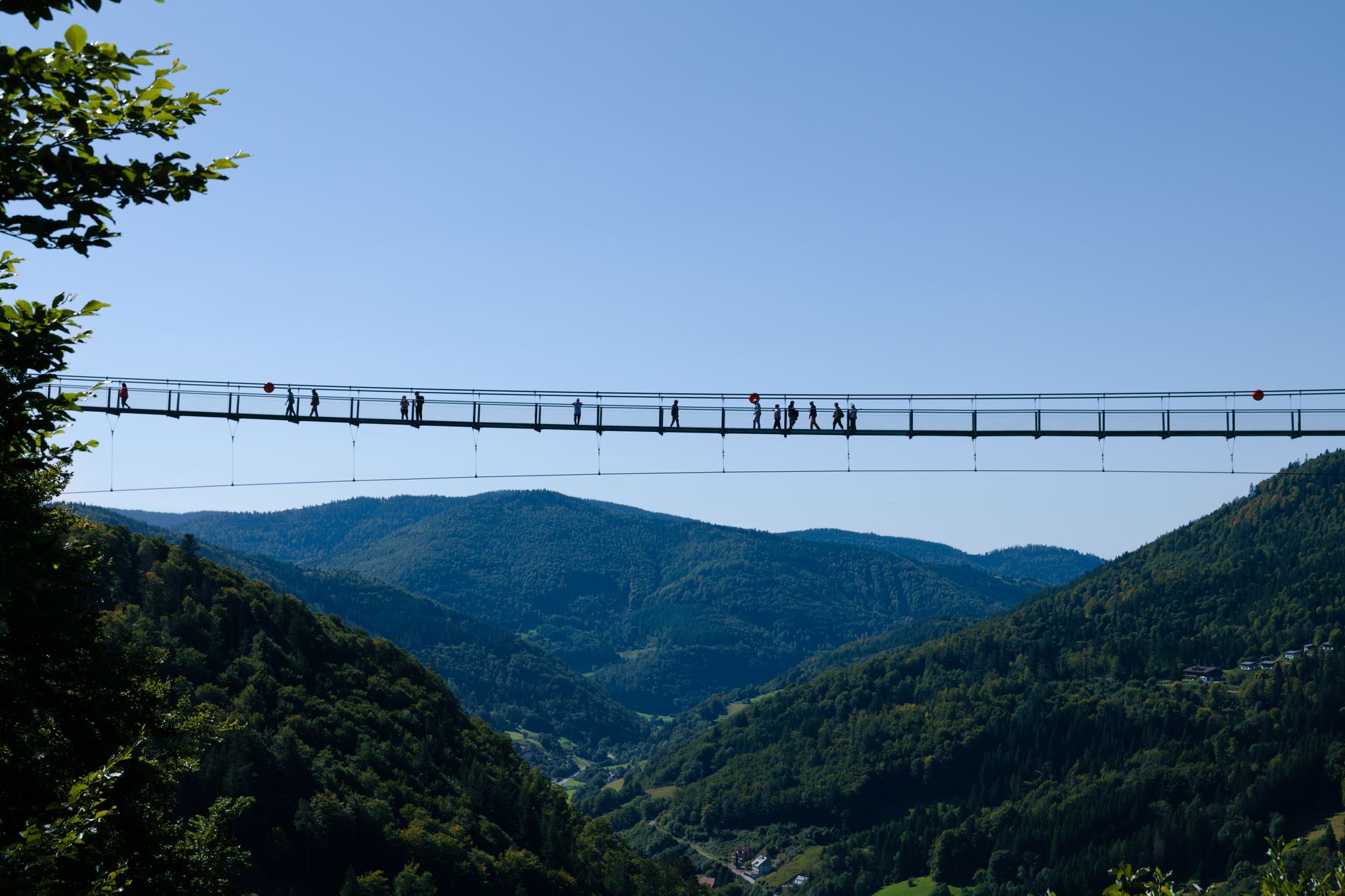
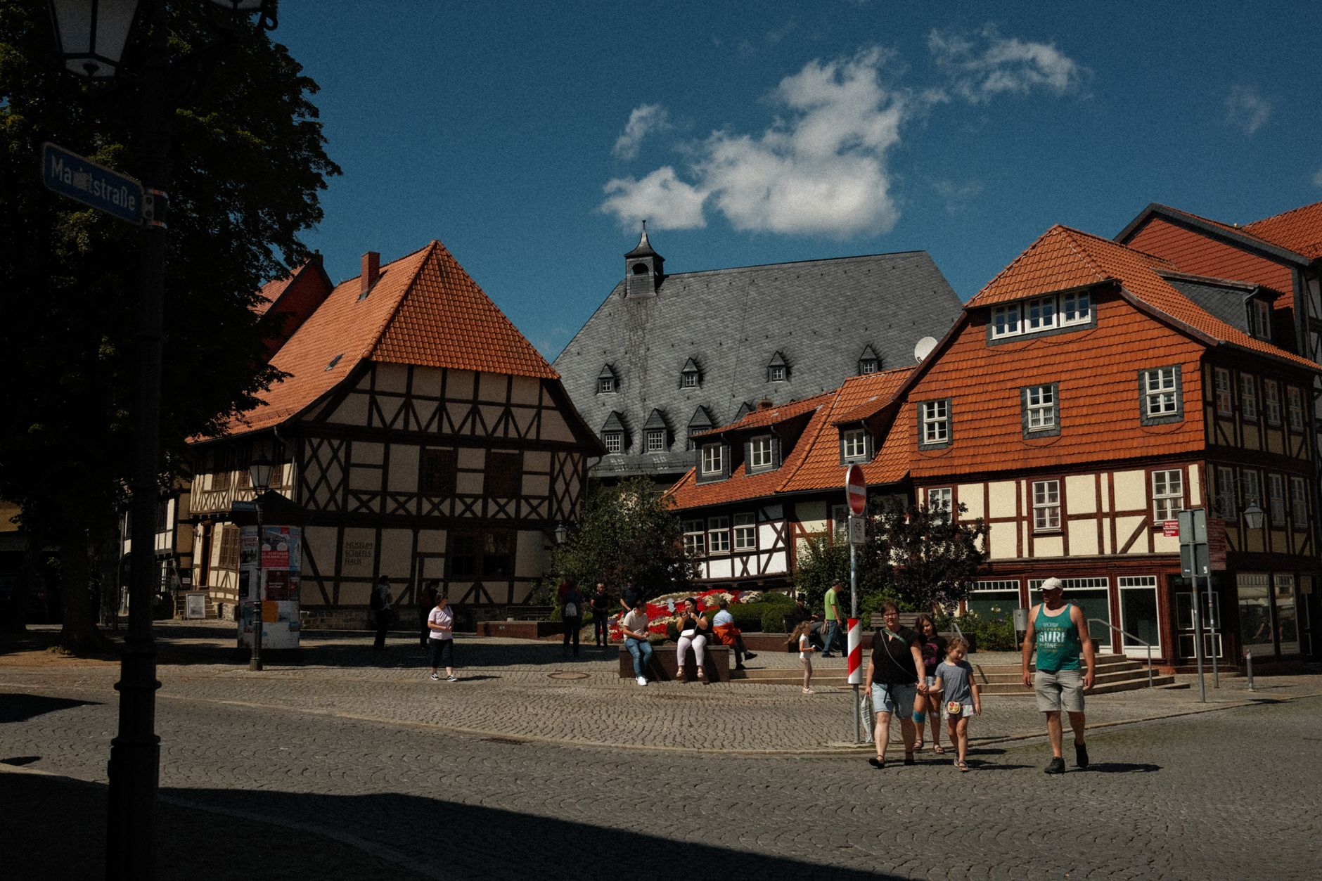
The first thing you notice in Todtnau is the sound of water. The Stübenbach stream drops 93 metres over a basalt face just outside town — Baden-Württemberg's highest natural waterfall — and if the wind is right you can hear it before you see it. Above the falls, a suspension bridge completed in 2023 hangs in the canopy, giving you a long view down the valley toward a town of around 5,000 people that has been extracting things from this landscape for nearly a thousand years.
Todtnau sits at the foot of the Feldberg, the Black Forest's highest point, on the river Wiese, about 20 kilometres southeast of Freiburg. The tunnels cut into the hillsides around town are not decorative — they are the leftover infrastructure of a medieval mining economy that once supported up to a thousand workers in the Münster valley alone.
💛 What travellers fall for
People who come back tend to time it for late spring, when the waterfall is running hard with snowmelt and the trails up toward Feldberg are just opening. They park near the bus station on Schönenstraße, walk the 20 minutes to the falls in the morning before the day-trippers arrive, then spend the afternoon on the Hasenhorn.
Deals in Todtnau
Book directly at the provider

How Todtnau came to be
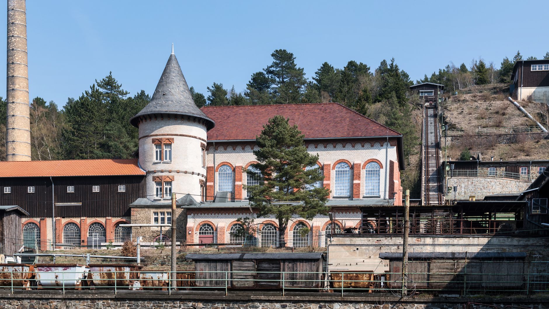
Mining came to the Münster valley around 1100 and remade it entirely. At its peak, somewhere between 800 and 1,000 miners were working the iron ore seams, and the settlement of Aftersteg — its name derived from 'Nach dem Steg', after the footbridge — grew up below the waterfall to house them. The Rotenbach mine, in the shadow of the Feldberg summit, was formally put into operation in 1761 under the direction of Freiburg mining judge von Mohr. Disease, war, and the Thirty Years' War eventually collapsed the industry.
What replaced it was brushes. From around 1770, households across Todtnau and its surrounding villages turned to brush-making, using the same waterpower that had run the ore mills. Josef Thoma's grain mill was part of that transition. By 1873, Todtnau brushmakers were exhibiting at the Vienna World Exhibition. Oskar Faller industrialised production by the century's end, and the company ZAHORANSKY — descended from that tradition — is today the world market leader in brush-making machinery, with its main plant still in town.
Who and what shaped it
People who shaped it
Landmark buildings
See Todtnau in motion
Plan your visit
On the map
When to go
Summers are mild and relatively sunny, with July averaging seven hours of daylight and temperatures reaching the low-to-mid twenties; May is the wettest month, so pack accordingly. Winters are cold but functional for outdoor activity — January days hover around 4°C, nights dip below freezing, and snow on the upper slopes is reliable enough for skiing.
Right now
Background & history adapted from Wikipedia (CC BY-SA) · specs from Wikidata (CC0) · weather from Open-Meteo · map data © OpenStreetMap contributors · photos from Wikimedia Commons / Unsplash with per-image credit. No third-party reviews or social posts reproduced.