
Snowdonia
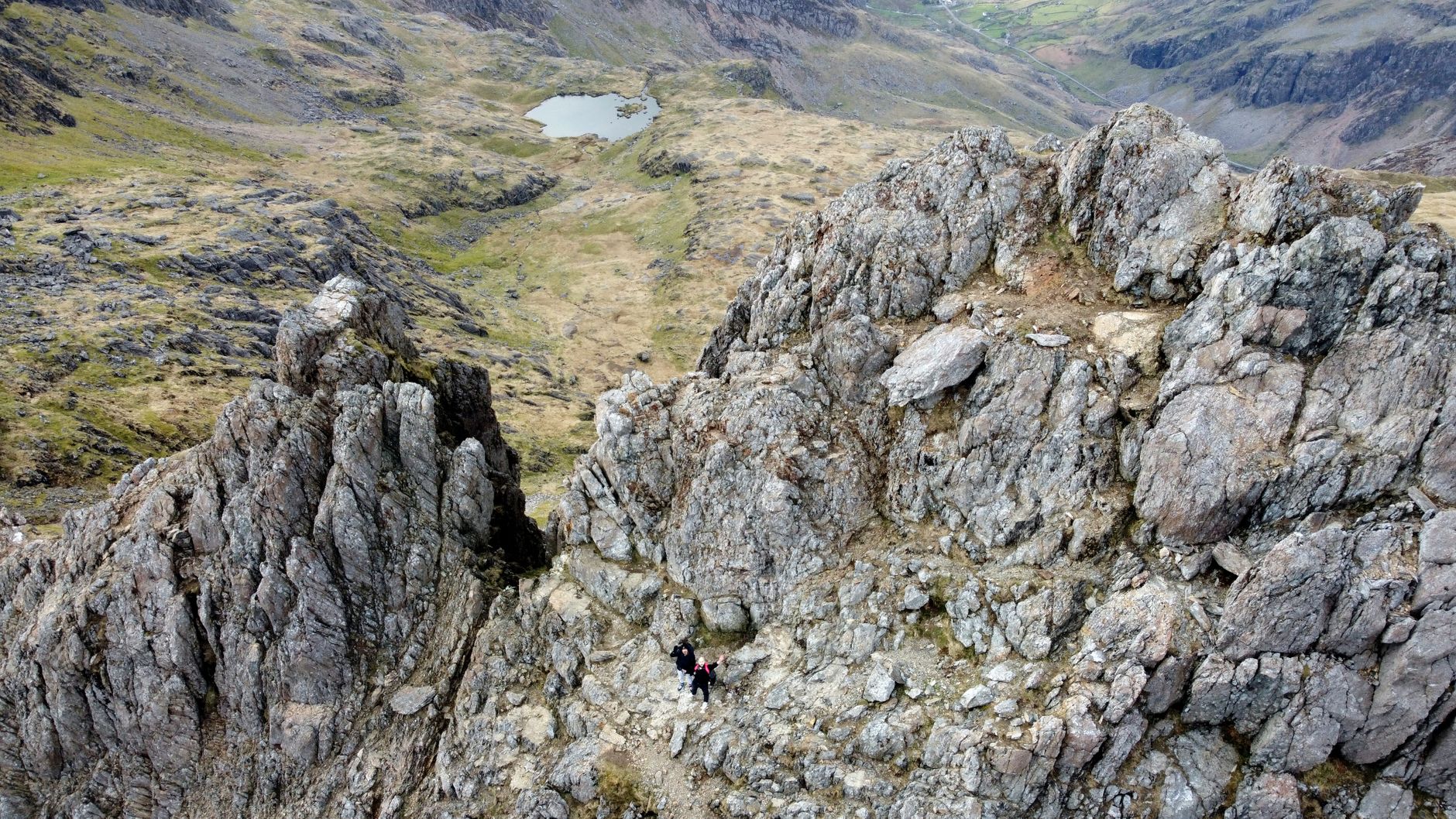
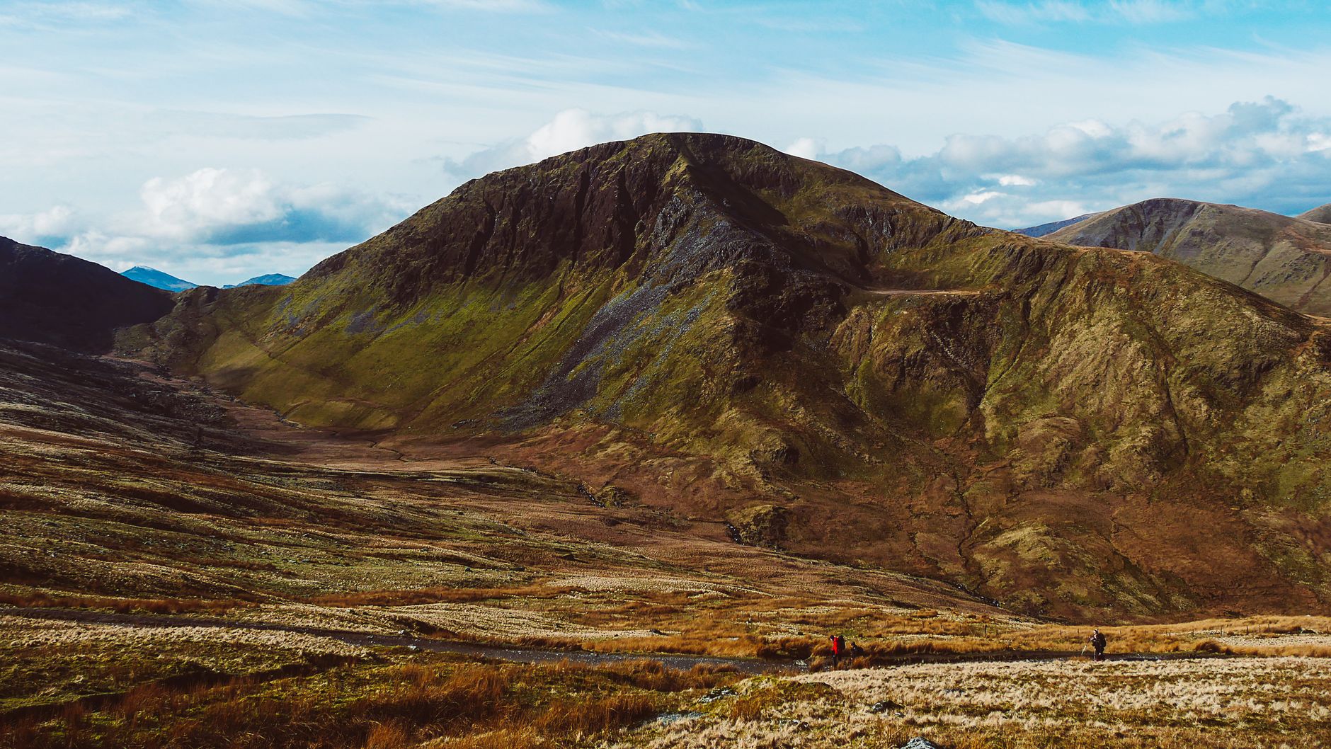
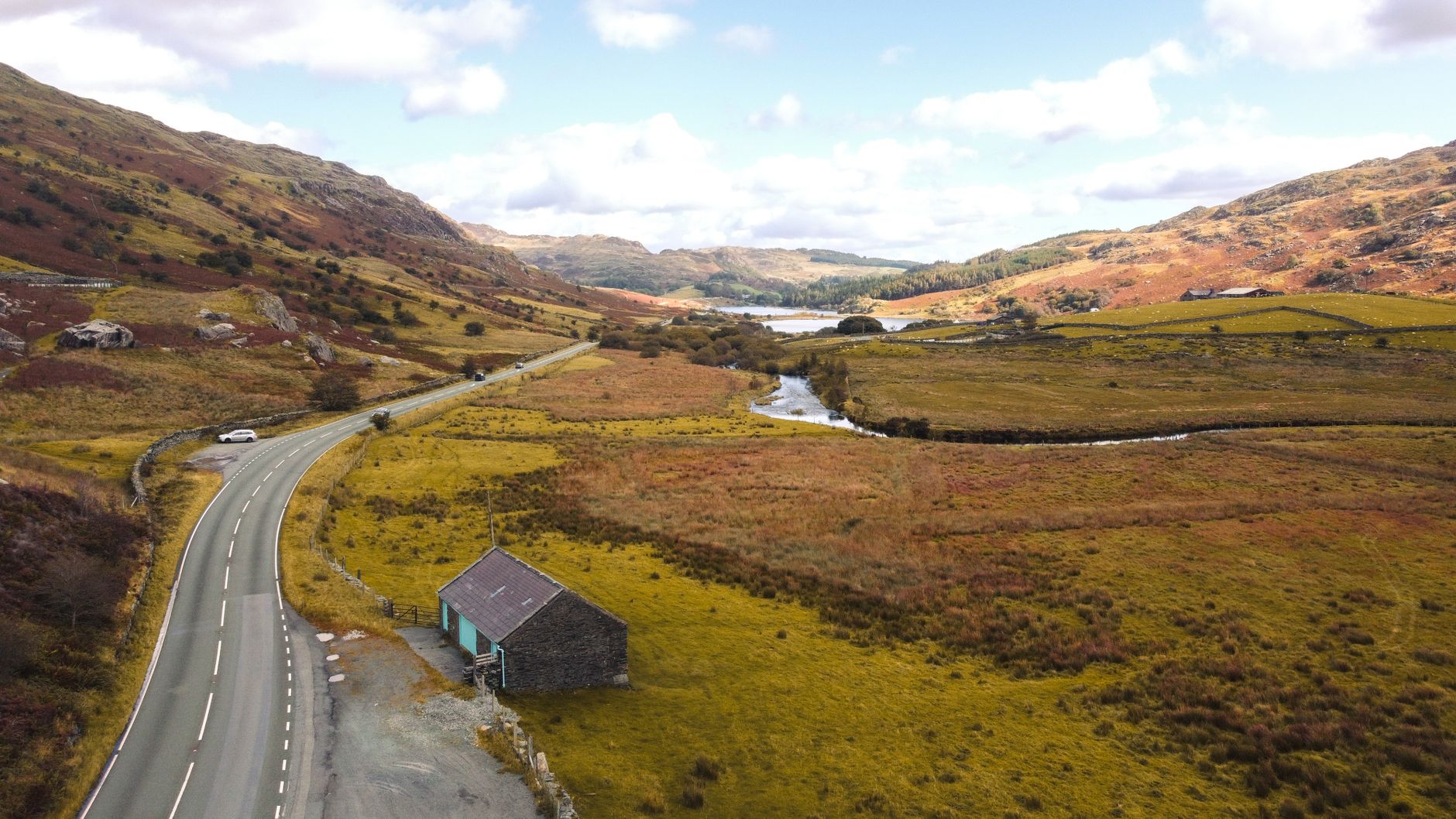
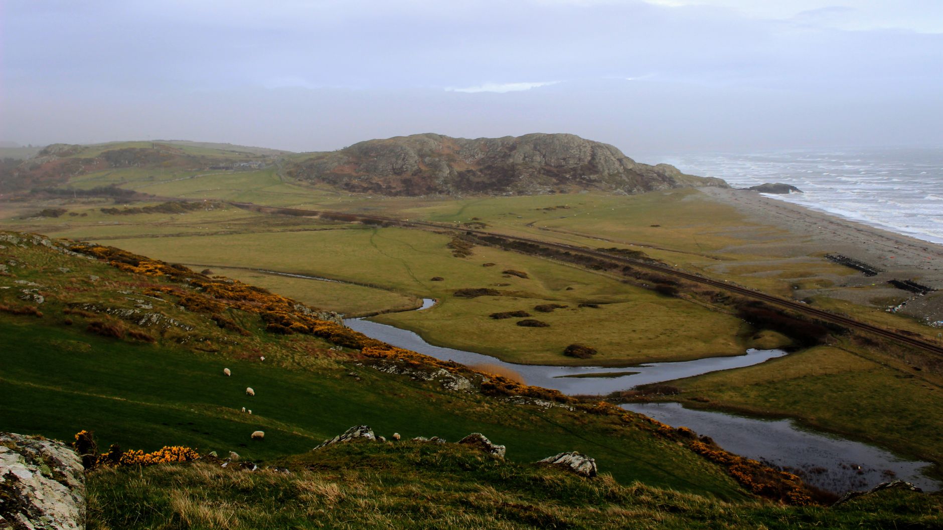
The Welsh call it Eryri, and the name has been reclaiming ground since 2022, when the national park authority formally shifted away from its English equivalent. Whatever you call it, this is a place shaped by forces older than naming — glaciers that carved the cwms, medieval princes who built their power here, and nineteenth-century slate quarriers who employed twelve thousand men at the industry's peak. All fifteen of Wales's mountains above three thousand feet are within its boundaries.
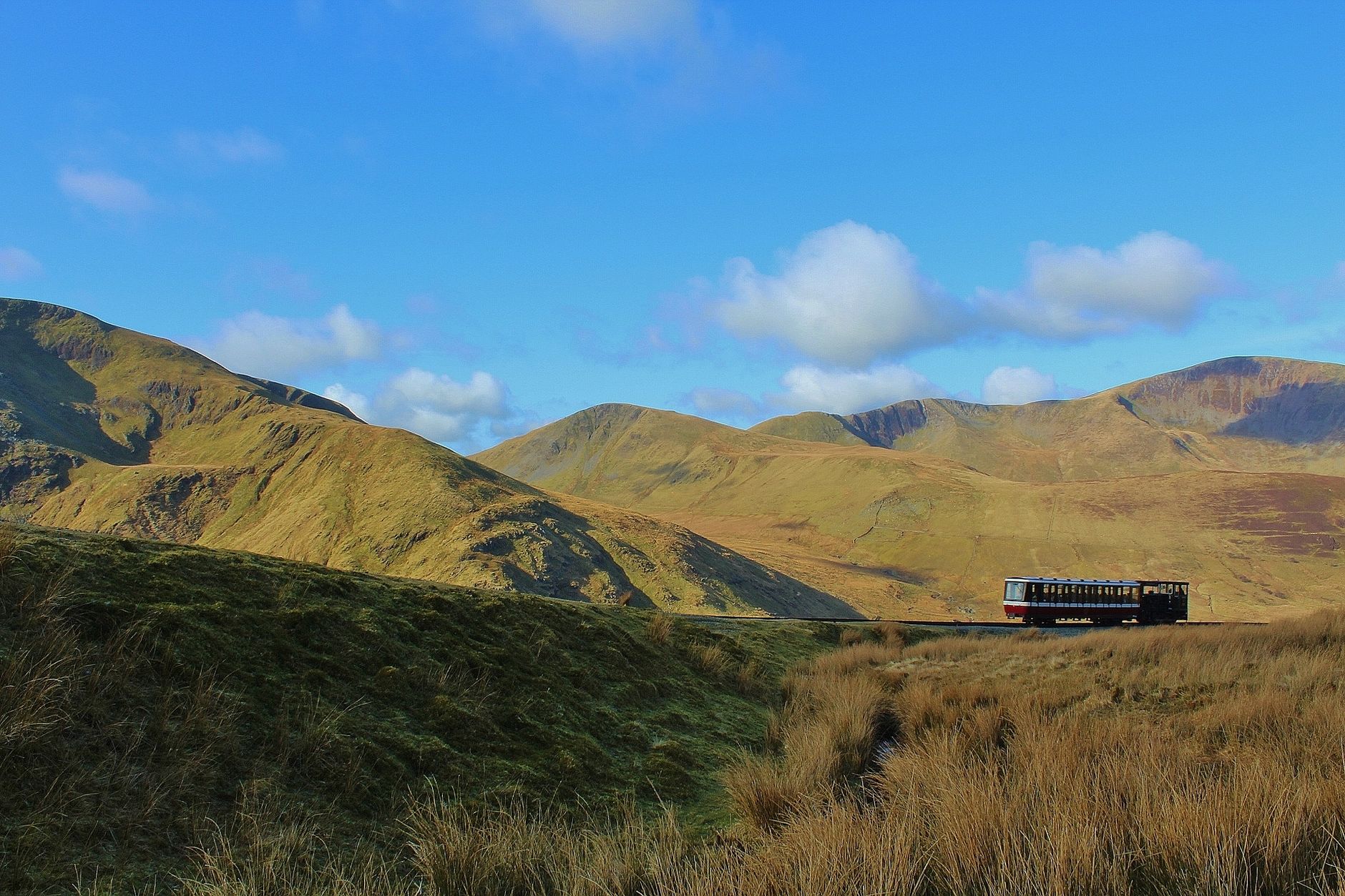
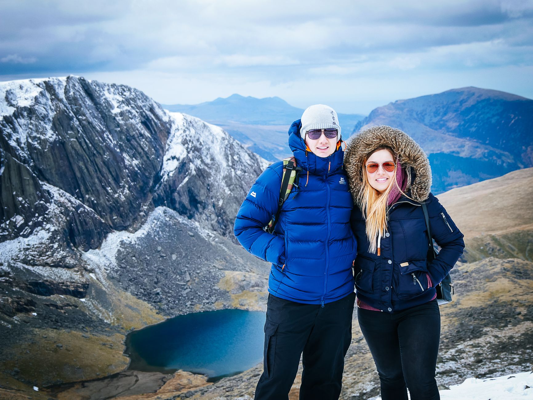
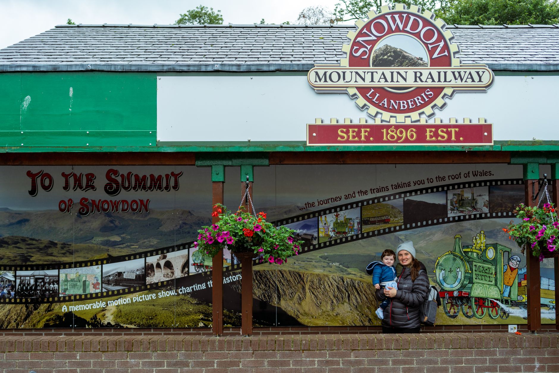
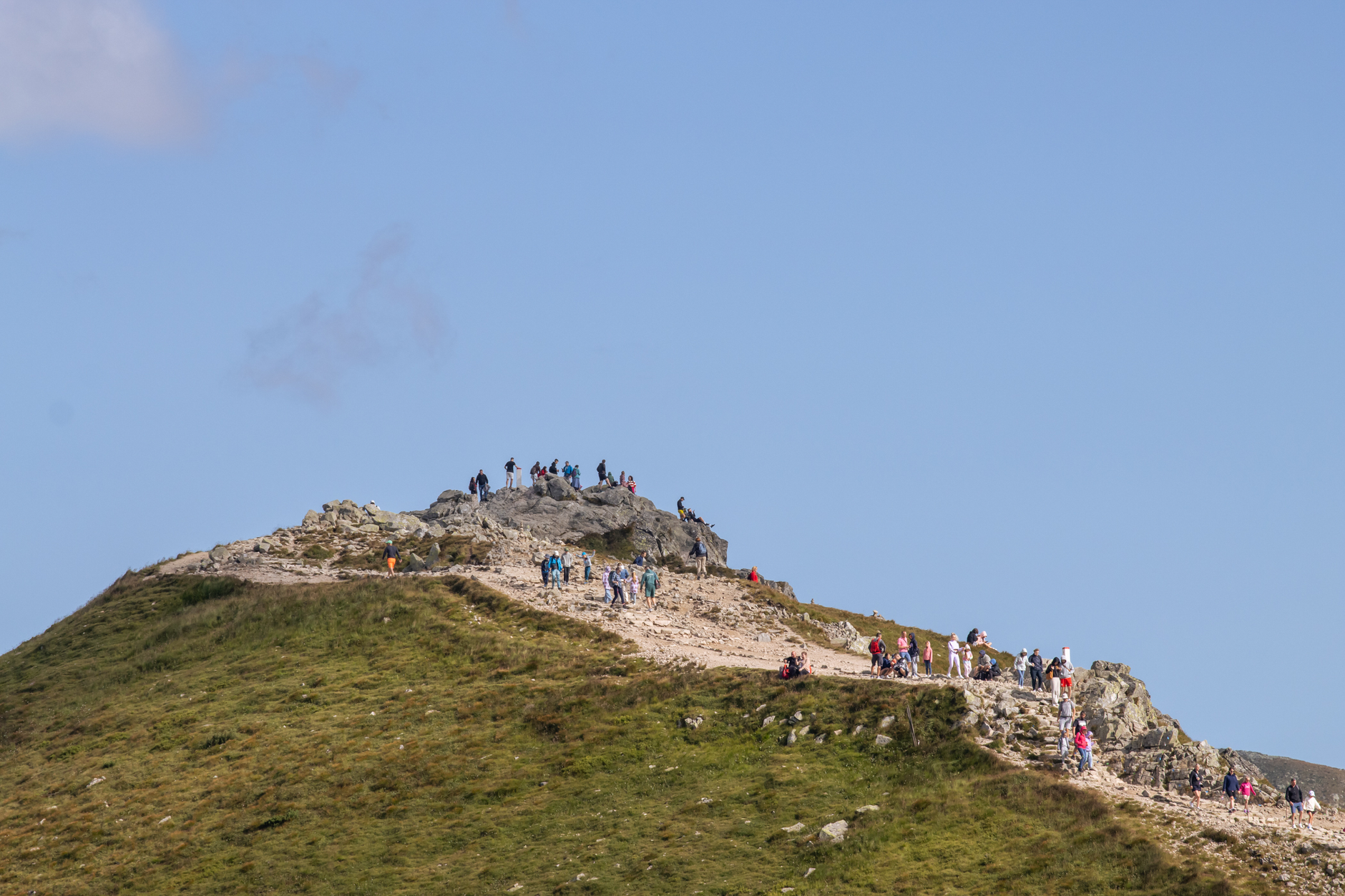
At the centre of it stands Yr Wyddfa — Snowdon — at 1,085 metres the highest point in Wales. You can walk up or take the rack railway from Llanberis, which has been making the sixty-minute climb for over a hundred years and still stops just sixty-six feet short of the summit.
Popular cities in Snowdonia
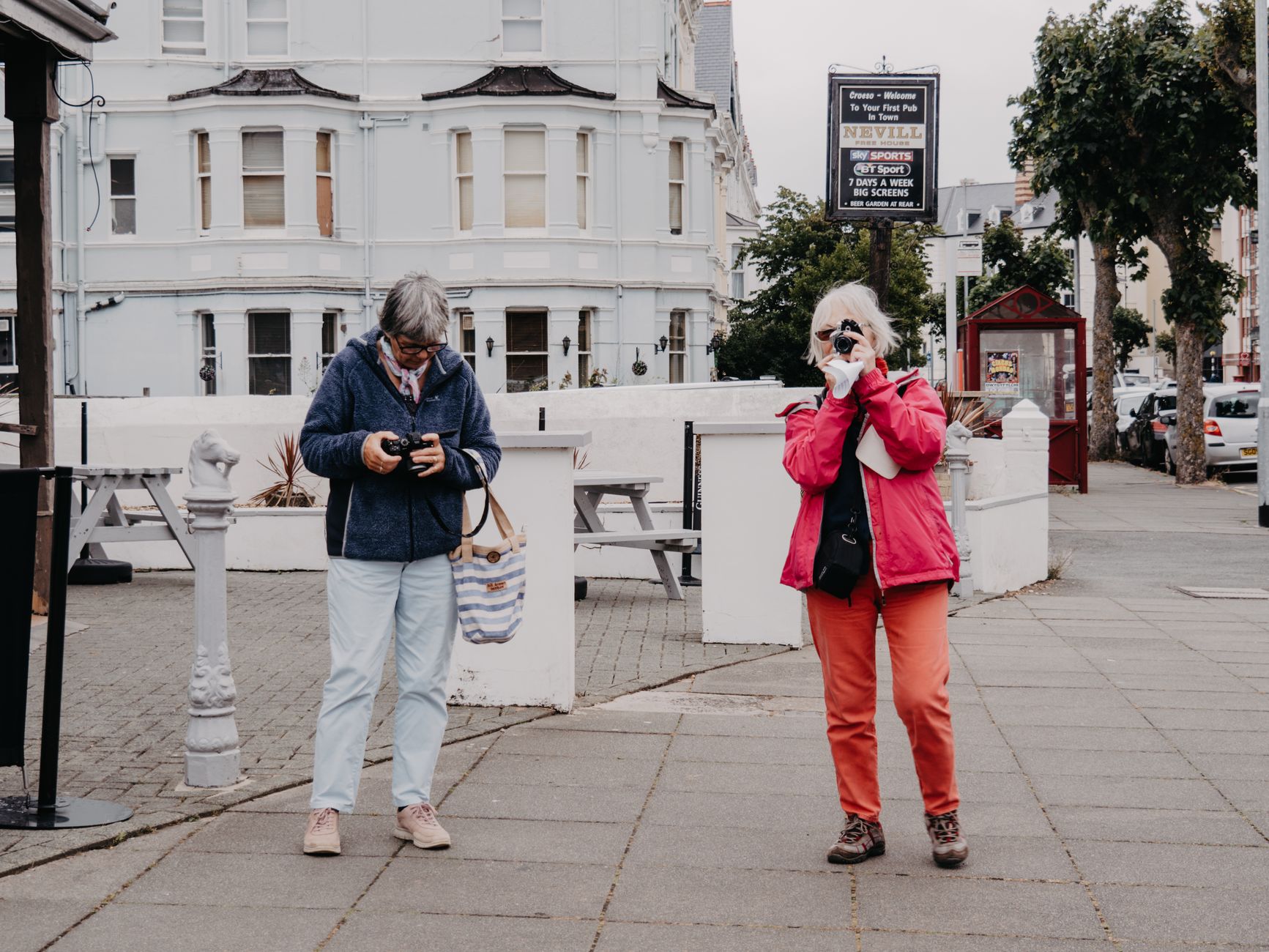
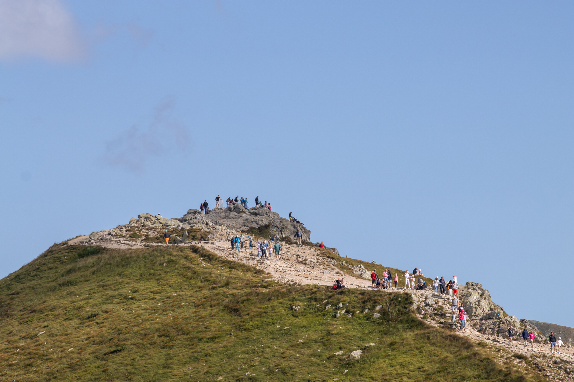
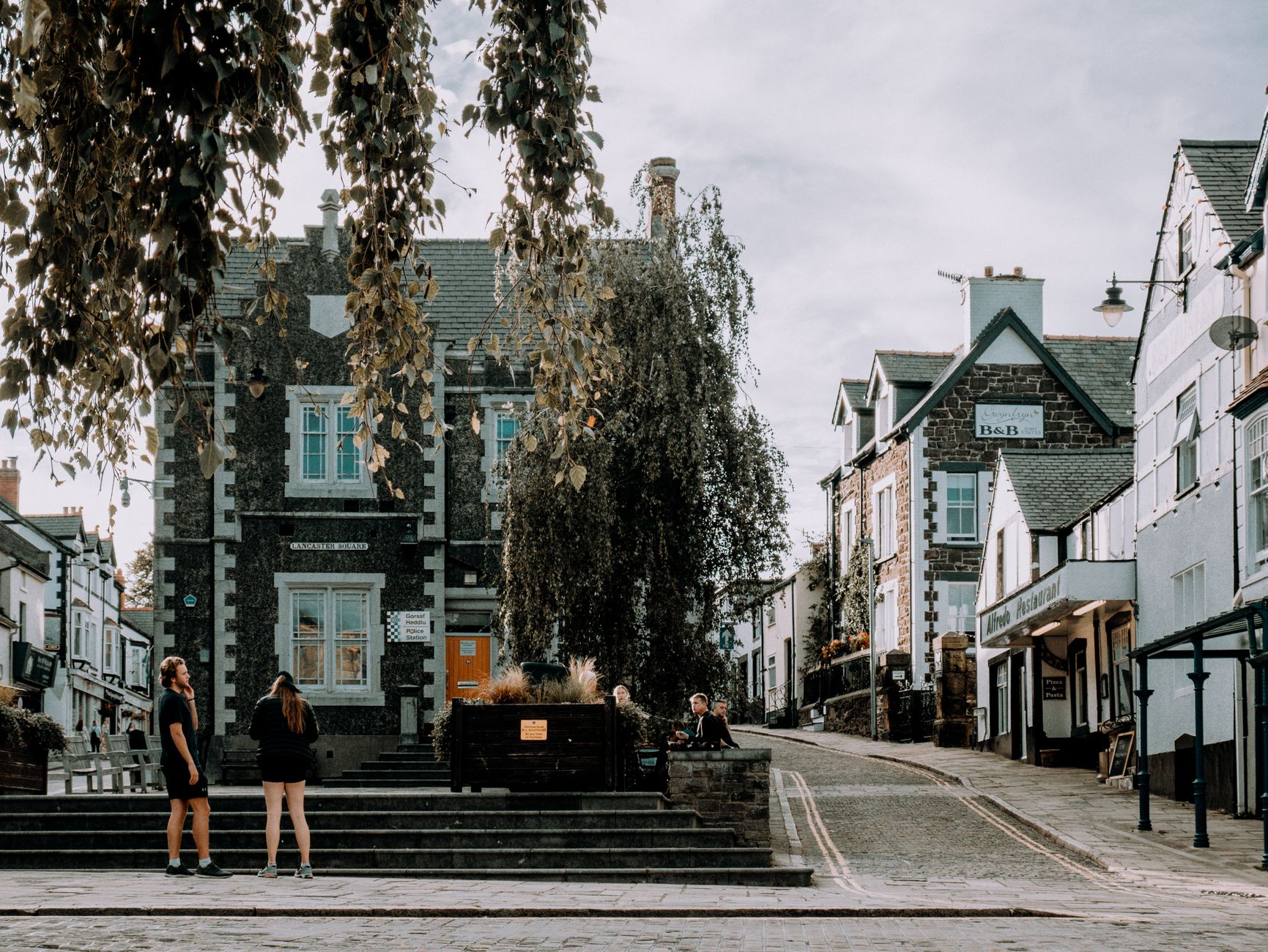
💛 What travellers fall for
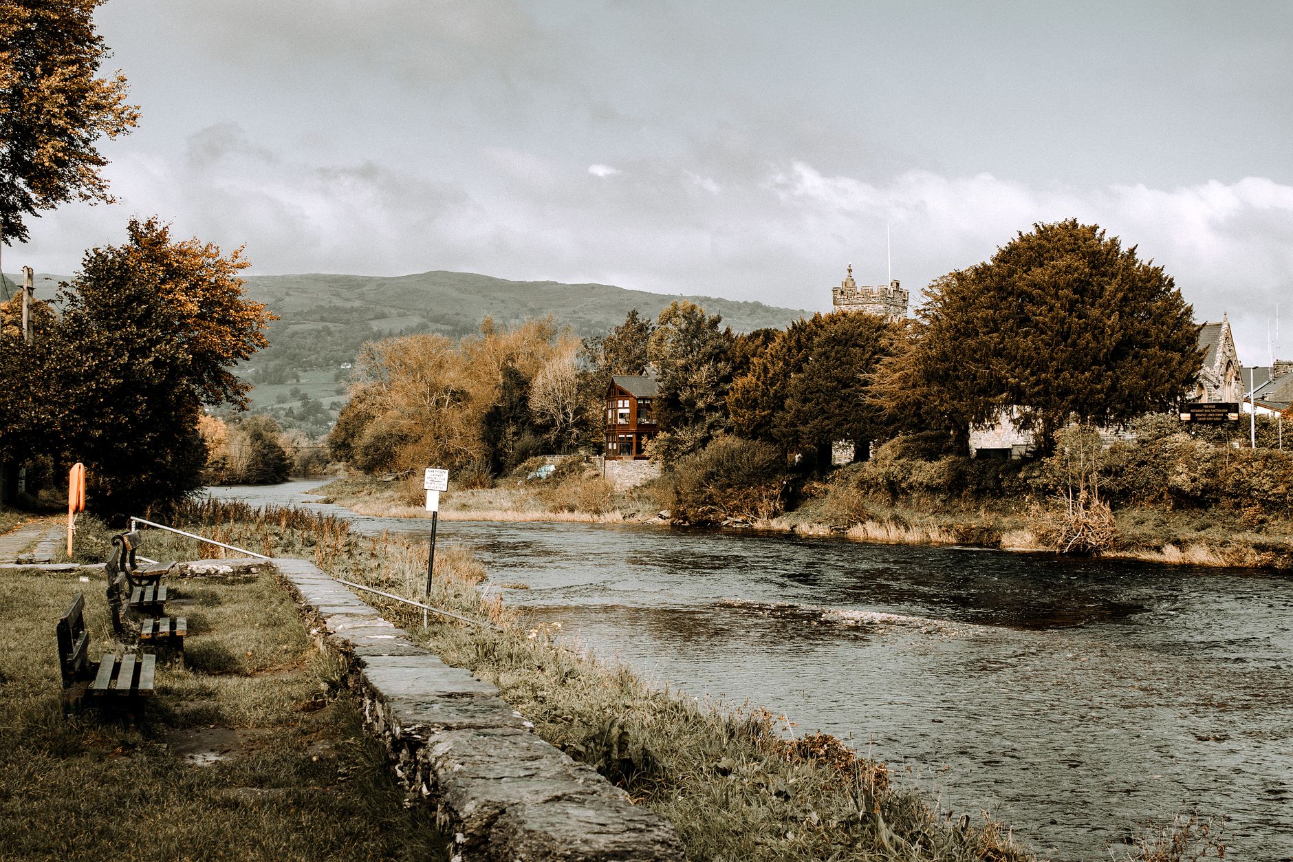
People who come back tend to pick a single valley or trail rather than trying to cover the park. The Conwy Valley Line into Betws-y-Coed earns its keep as a slow route in, and the Sherpa'r Wyddfa bus is worth knowing about if you want to walk one route up Yr Wyddfa and descend a different way without a car shuffle.
How Snowdonia came to be
Eryri was designated a national park in October 1951 — the third in the UK, after the Peak District and Lake District that same year. The park authority was already grappling with real problems from the outset: rural depopulation, the slow collapse of traditional industries, and low living standards in the communities that had built the place.
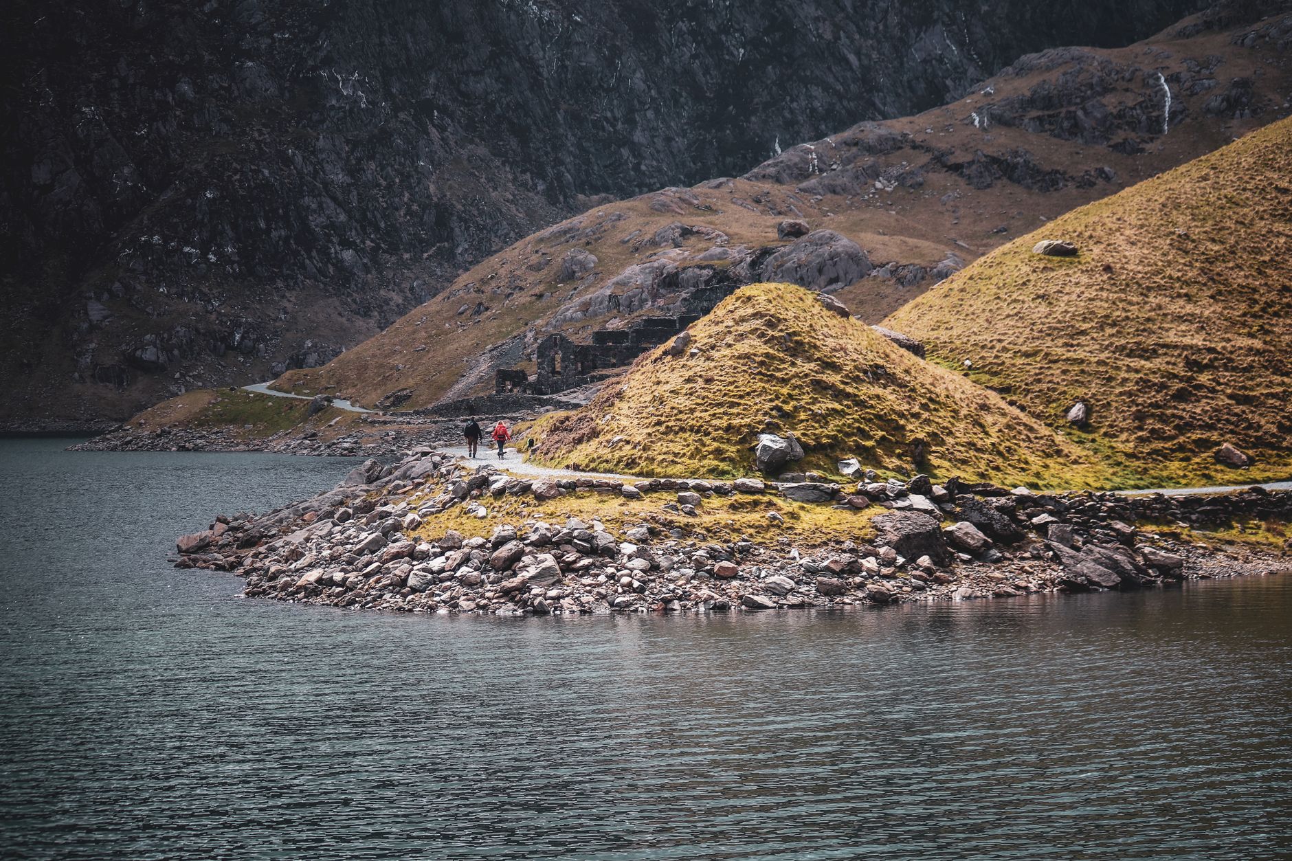
The slate industry that once defined the landscape had employed around twelve thousand men at its Victorian height, and the ruins of the Britannia Copper Mine on the slopes of Yr Wyddfa mark an earlier wave of extraction that ran for roughly a century before closing in 1916. Harlech Castle — one of Edward I's ring of conquest fortifications, built between 1283 and 1289 — stands as the most visible medieval layer, while Dolwyddelan Castle is associated with Llywelyn the Great, who likely raised it in the late twelfth or early thirteenth century.
Who and what shaped it
People who shaped it
Landmark buildings
See Snowdonia in motion
Plan your visit
On the map
When to go
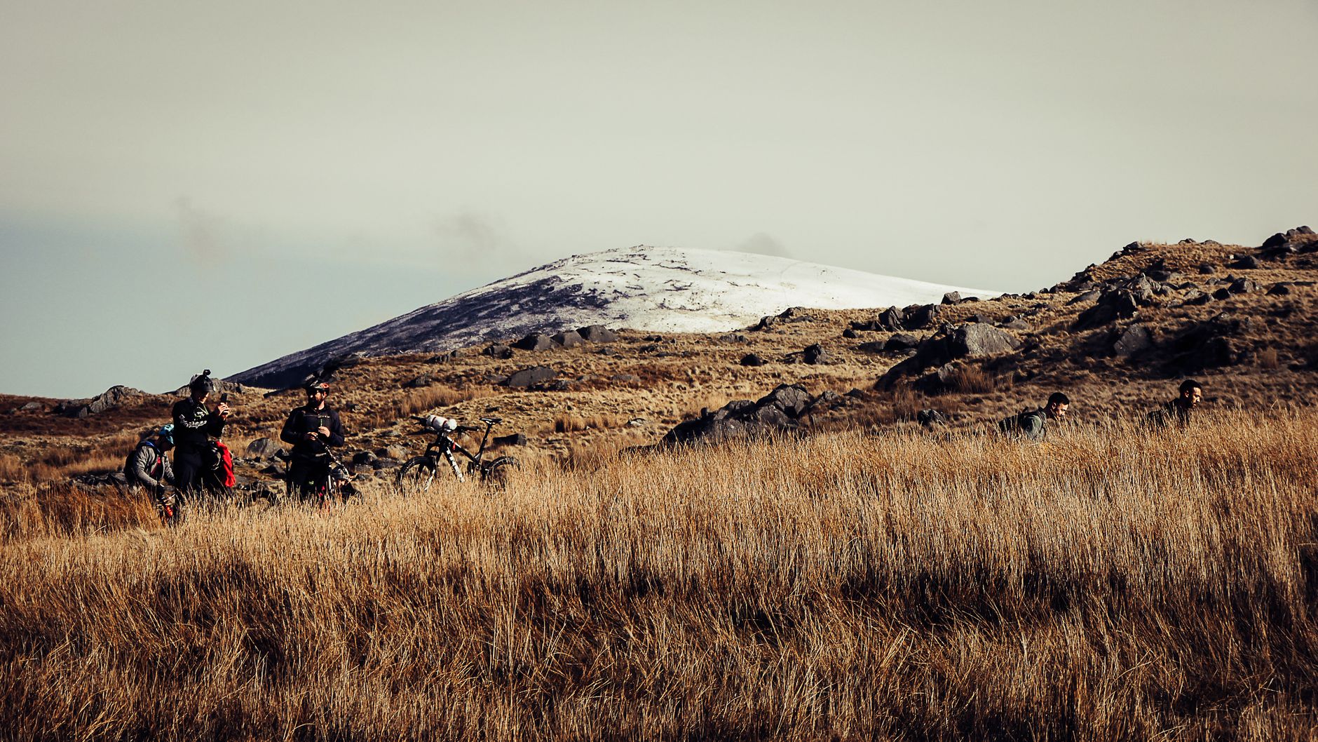
Snowdonia is genuinely wet and can be cold at altitude even in summer — the summit of Yr Wyddfa sits in cloud far more often than not, and the railway won't run in severe weather. Spring and early autumn give the clearest skies and the thinnest crowds; winter is raw but the light on the ridges can be extraordinary.
Right now
↡ Cities
Background & history adapted from Wikipedia (CC BY-SA) · specs from Wikidata (CC0) · weather from Open-Meteo · map data © OpenStreetMap contributors · photos from Wikimedia Commons / Unsplash with per-image credit. No third-party reviews or social posts reproduced.