
Patagonia
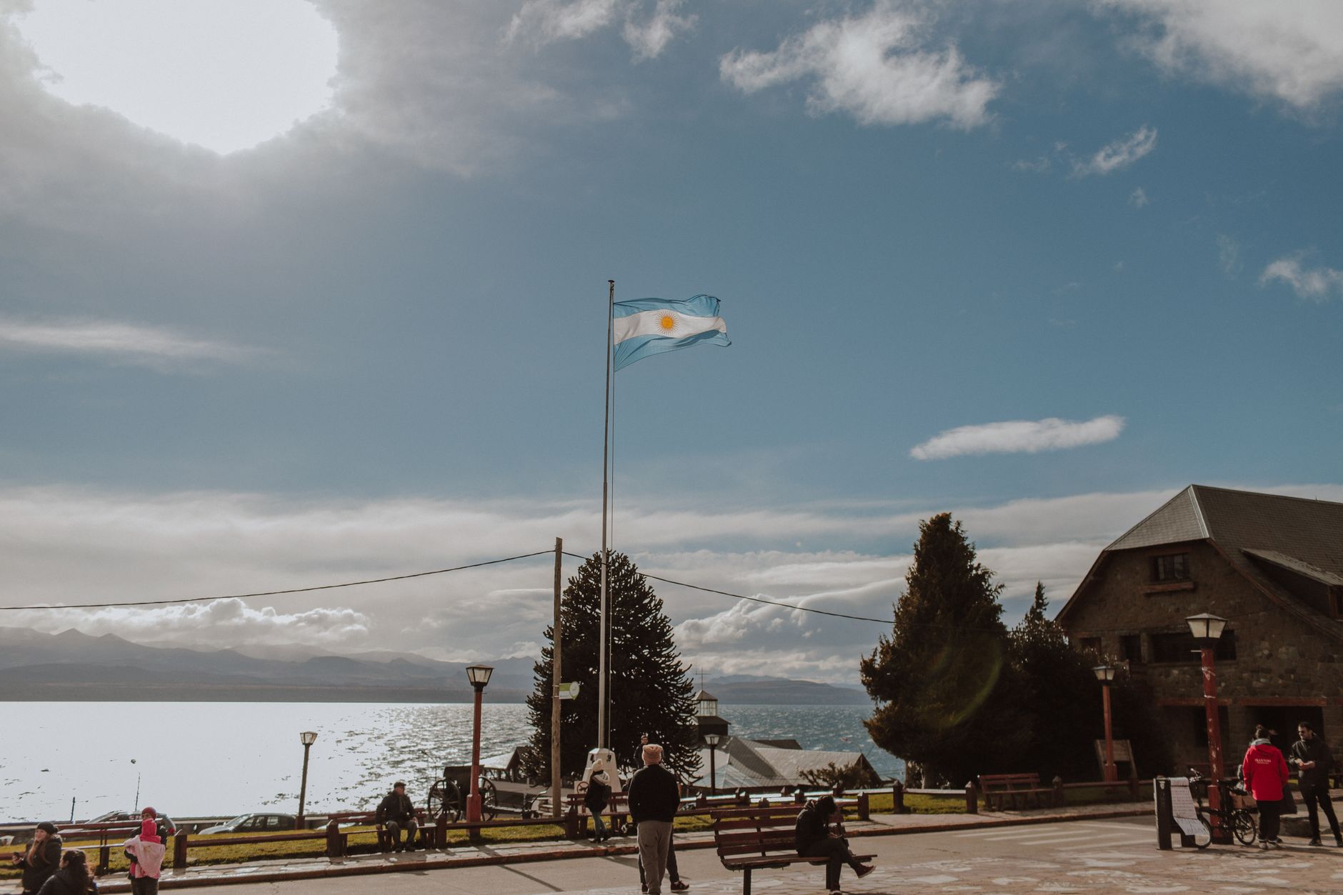
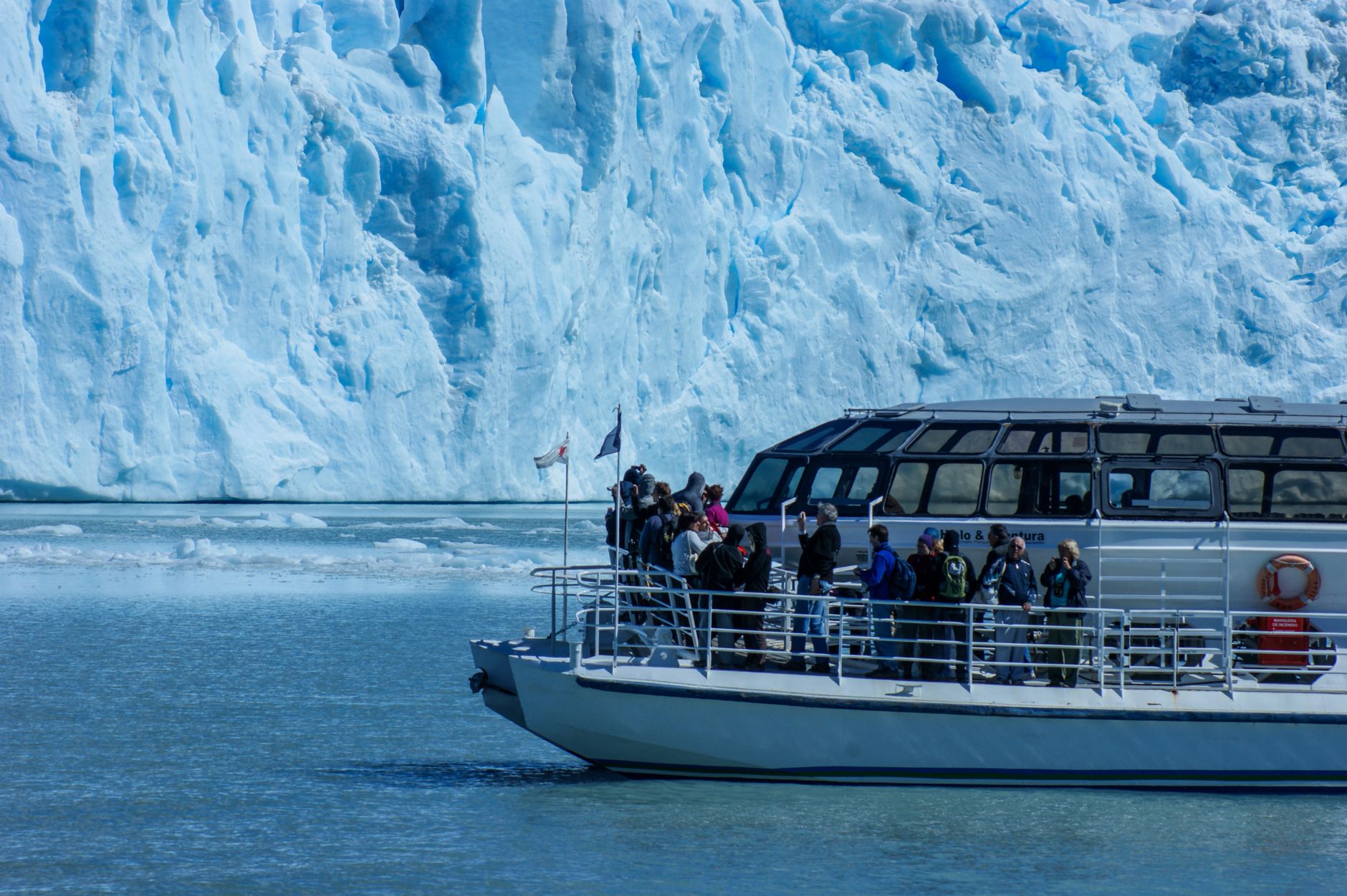
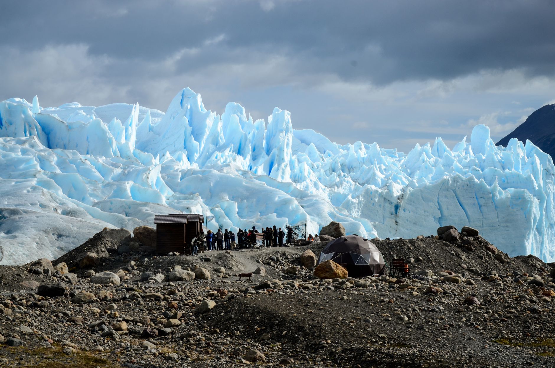
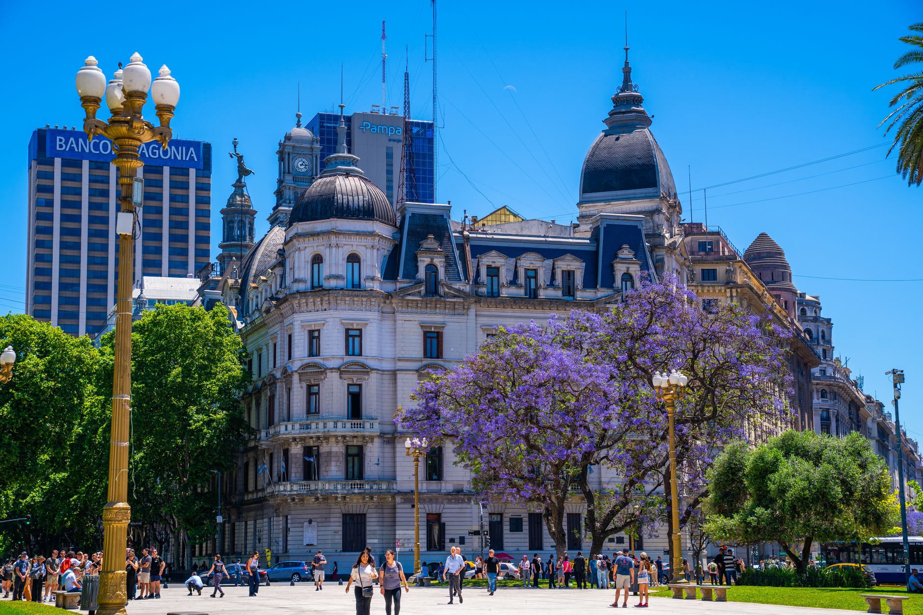
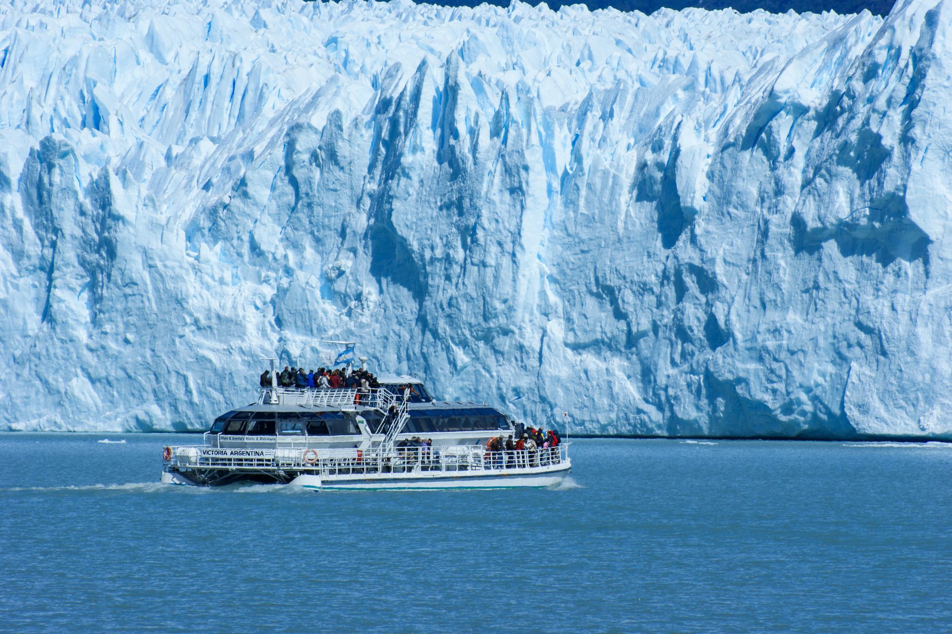
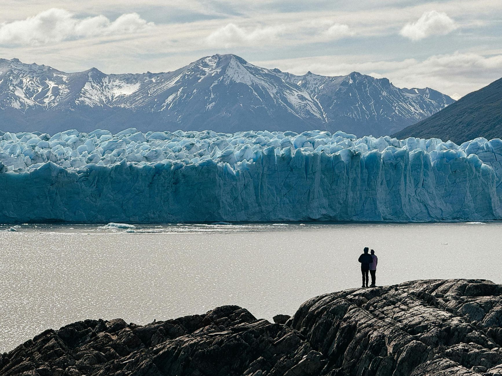
Patagonia begins where the map seems to run out of ideas — a region of such scale that a single photograph can contain a glacier, a desert, and a sky that looks borrowed from another planet. It straddles the southern cone of South America, split between Argentina and Chile, and stretches from the Colorado River in the north to the Strait of Magellan in the south.
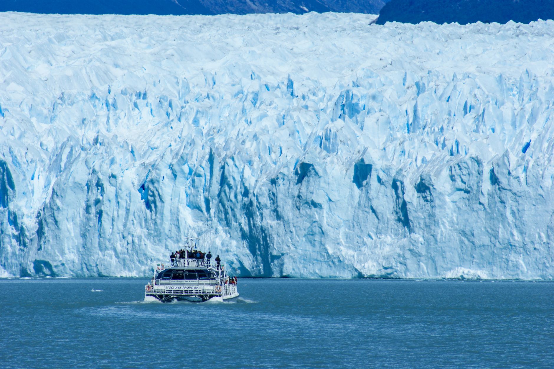
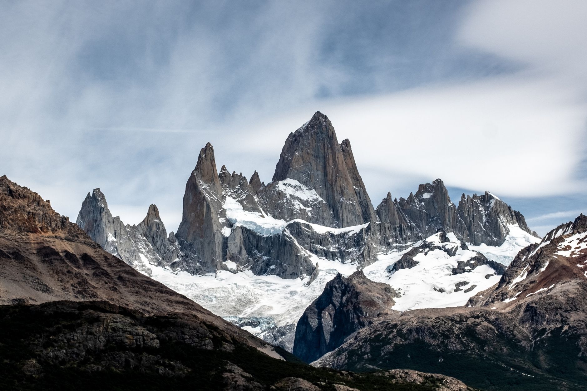
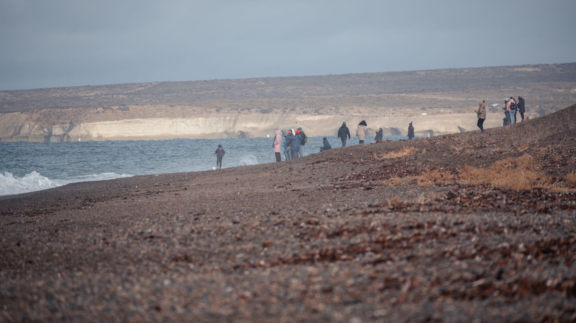
What you find here is less a destination than a reckoning with space. The three granite towers of Torres del Paine rise 2,500 metres above the steppe. Perito Moreno Glacier advances and calves, a slow blue wall thirty kilometres long. The wind in January is not a metaphor — it will stop you mid-step.
Popular cities in Patagonia
How Patagonia came to be
European accounts of this region begin in 1520, when Ferdinand Magellan's expedition made landfall and recorded the name 'Patagonia' — derived from 'patagon,' the term his crew used for the Tehuelche people they encountered. But the land had been inhabited since roughly 10,000 BC, as excavations at Cueva del Milodón confirm. Thomas Falkner, an English Jesuit, spent nearly forty years here in the 18th century documenting its landscapes. Charles Darwin came ashore from HMS Beagle between 1832 and 1836 and took careful notes.
In 1865 Welsh colonists settled at the mouth of the Chubut River. Oil was struck in 1917. Argentina and Chile formalised their border in 1880, displacing the indigenous Tehuelche, Selk'nam, Yaghan, and Kaweskar peoples in the process. Tourism arrived with the railroad around 1920, though it remained the preserve of the wealthy until a paved road connected Bariloche to Buenos Aires around 1970.
Who and what shaped it
People who shaped it
Landmark buildings
See Patagonia in motion
Plan your visit
On the map
When to go
Summer (December to February) brings long days — up to sixteen hours of light — and temperatures between 15°C and 22°C, but January winds regularly gust above 70 km/h at exposed sites like Torres del Paine. Winter (June to August) is cold and quiet, with daytime highs rarely above 7°C and nights dipping below freezing, though the crowds thin considerably.
Right now
↡ Cities

Background & history adapted from Wikipedia (CC BY-SA) · specs from Wikidata (CC0) · weather from Open-Meteo · map data © OpenStreetMap contributors · photos from Wikimedia Commons / Unsplash with per-image credit. No third-party reviews or social posts reproduced.