
Coyhaique

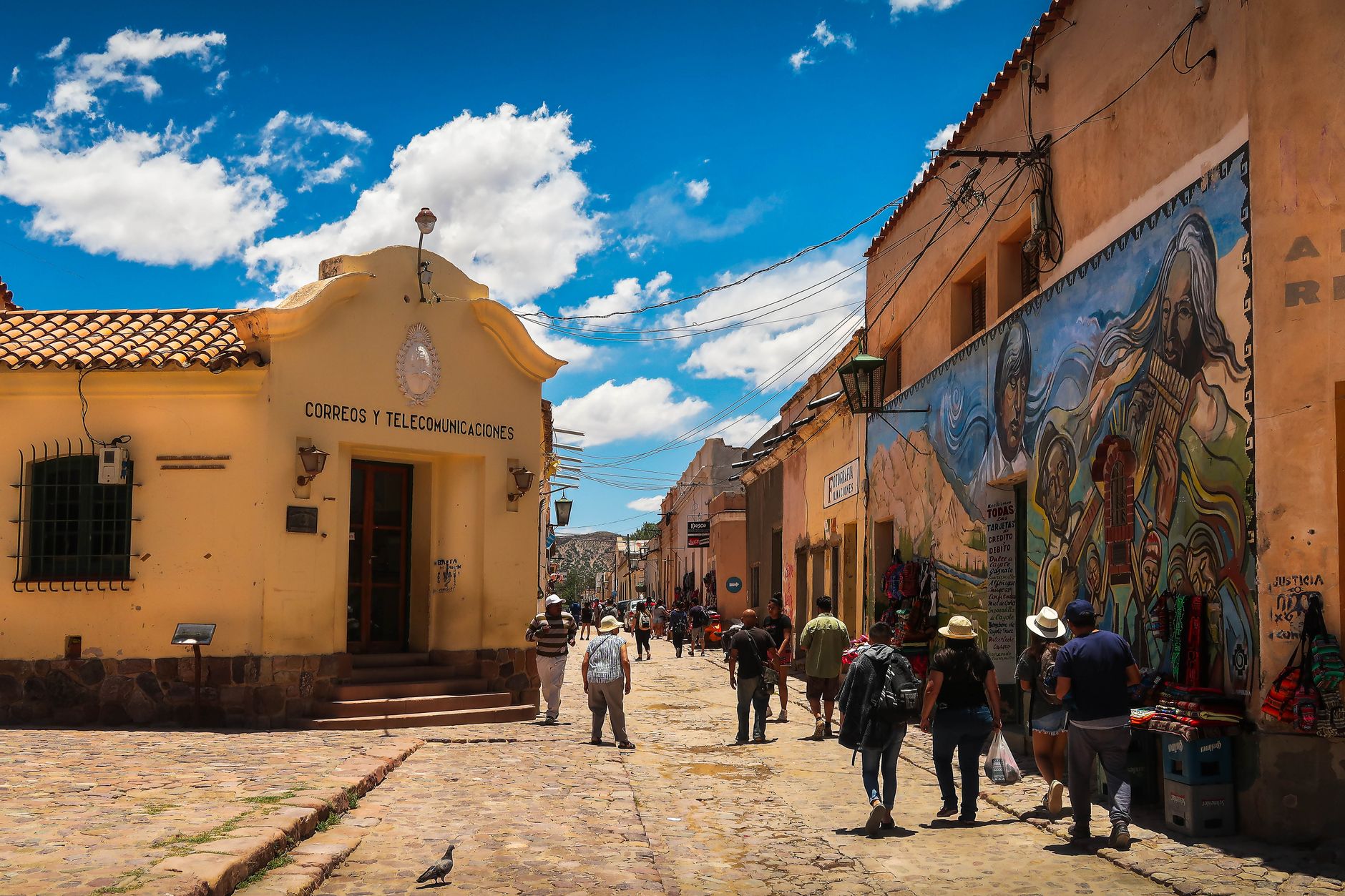
Coyhaique's Plaza de Armas is a pentagon — five sides laid out in deliberate tribute to the Carabineros who built this city from scratch in the Patagonian steppe. That geometric oddity tells you something about the place: everything here has a reason rooted in its own peculiar founding logic, far from Santiago's reach.
The city sits at the confluence of the Simpson and Coyhaique rivers, 1,500 kilometres south of the capital, and it shows. The Carretera Austral only connected it to the wider world in 1988. What arrived before that — settlers, sheep, stone buildings — had to mean it.
💛 What travellers fall for
People who keep coming back tend to mention the Piedra del Indio at dusk, when the light catches the wind-carved profile on the riverbank in a way that photographs never quite reproduce. They also learn fast: book accommodation months ahead for January, carry cash for the buses, and give the Coyhaique National Reserve a full morning rather than an hour.
Deals in Coyhaique
Book directly at the provider

How Coyhaique came to be
The site was chosen in 1929 by Luis Marchant González, then Intendant of the Aysén territory, who laid out the city on a radial plan with that distinctive pentagonal plaza at its centre. It was named Baquedano at founding, after Chilean general Manuel Baquedano, but the name was changed to Coyhaique in 1934 to avoid confusion with a town of the same name in the north.
The industrial groundwork had been laid earlier: in 1906 the Sociedad Industrial de Aysén established its operations at Pampa del Corral, where the two rivers meet, and the stone buildings from that era still stand as national monuments. The municipality was formalised in 1947, the city became regional capital in 1974, and it wasn't until 1988 — when the Carretera Austral finally reached its key sections — that Coyhaique stopped being effectively an island.
Who and what shaped it
People who shaped it
Landmark buildings
See Coyhaique in motion
Plan your visit
On the map
When to go
Summers (December to February) sit around 14–16°C during the day with cool nights near 6°C — light layers needed even at the height of the season. Winters bring frost, regular snowfall and temperatures that drop to -3°C, with heavy snow possible from May through September.
Right now
Background & history adapted from Wikipedia (CC BY-SA) · specs from Wikidata (CC0) · weather from Open-Meteo · map data © OpenStreetMap contributors · photos from Wikimedia Commons / Unsplash with per-image credit. No third-party reviews or social posts reproduced.