
El Chaltén
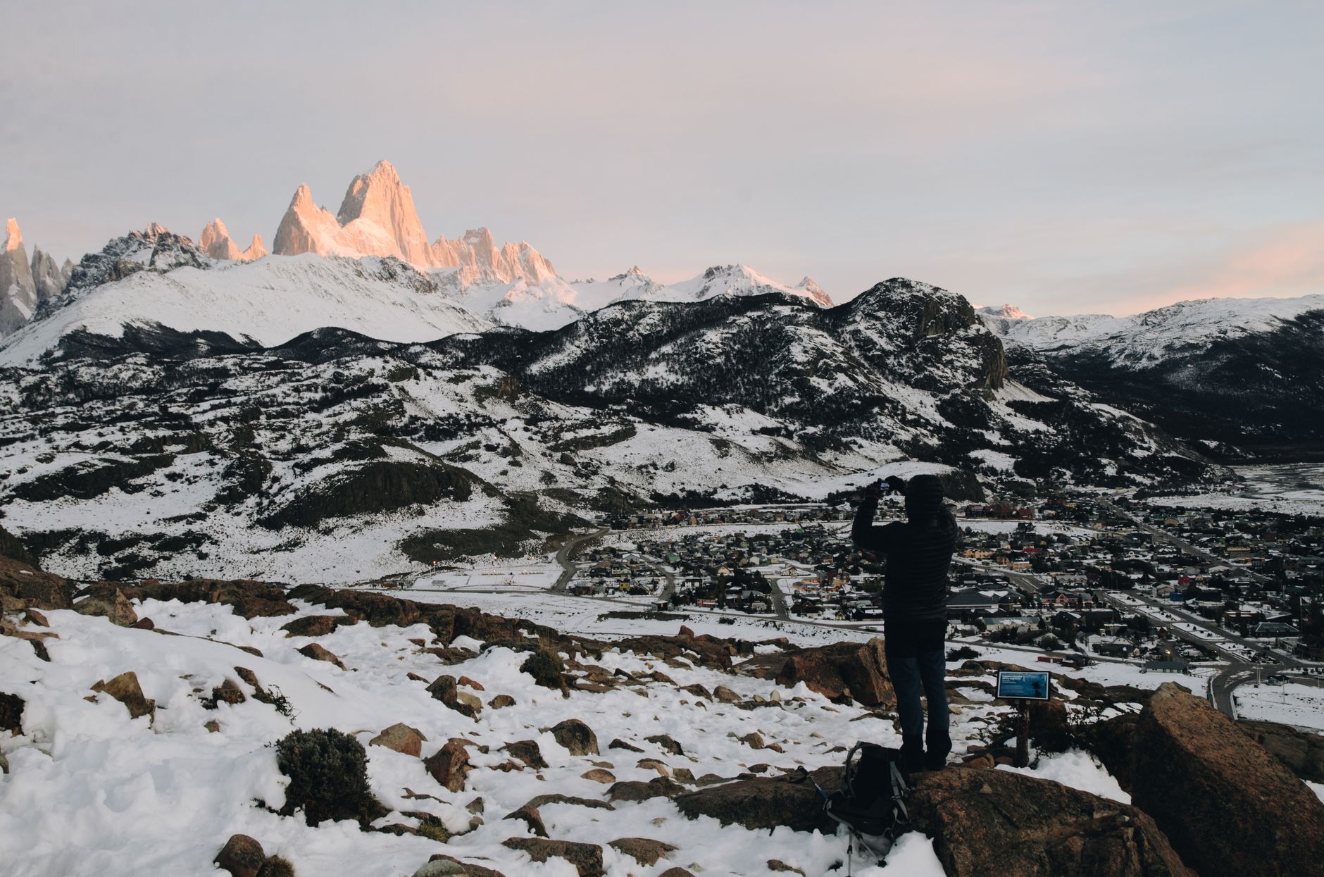

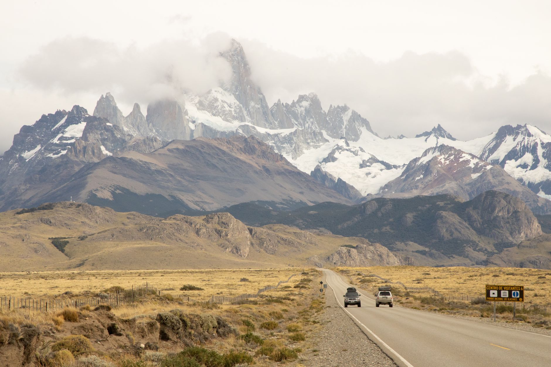
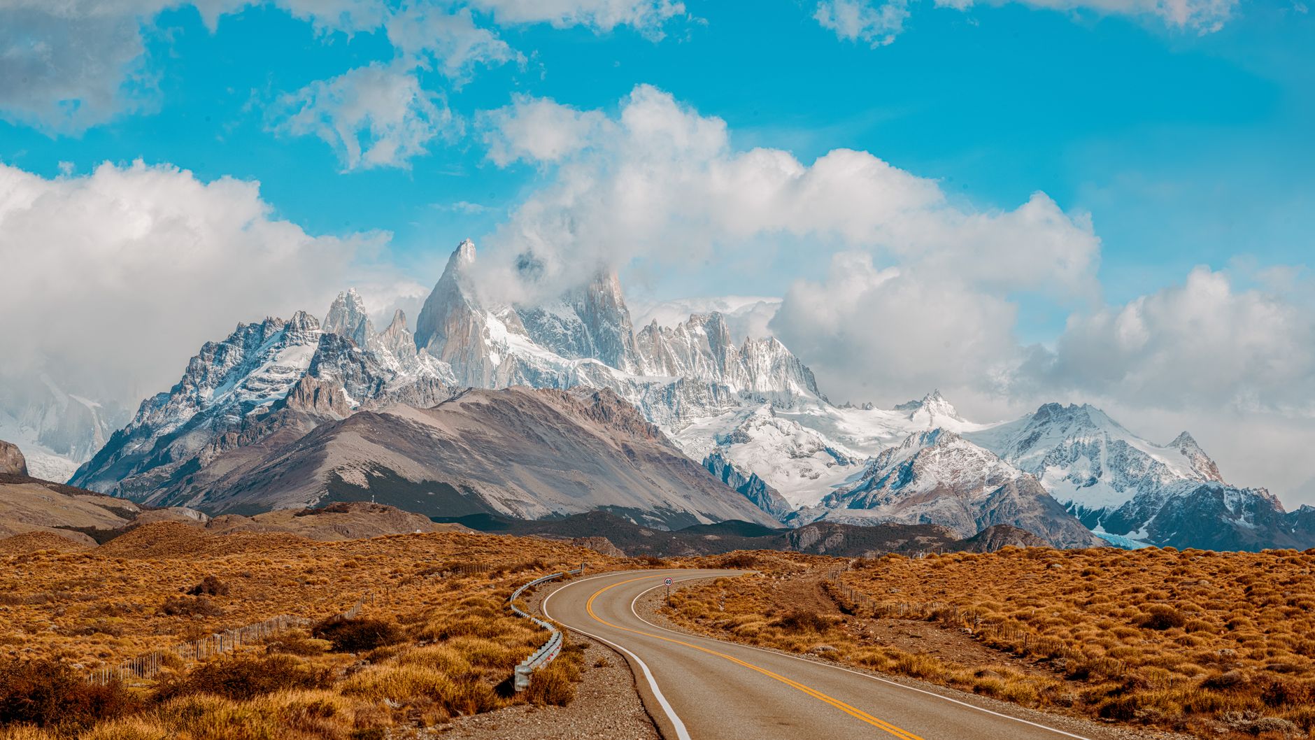
El Chaltén announced itself to the world on 12 October 1985 — Argentina's youngest town, founded not by gold rush or colonial ambition but by a border dispute with Chile. The government needed bodies on the ground near Lago del Desierto, so a town was decreed into existence. Forty-one people showed up by the 1991 census. Today around three thousand live here year-round, and the place has grown into something the decree never quite anticipated: the trekking capital of Argentina, confirmed by national law in 2015.
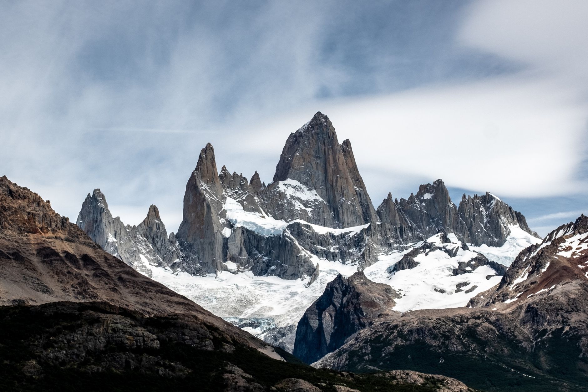
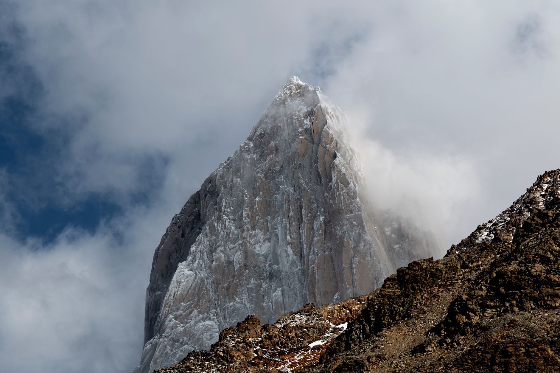
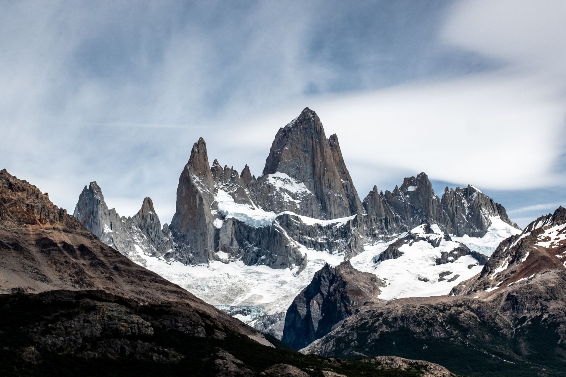
The mountain the Tehuelche people called Chaltén — Smoky Mountain, for the cloud column that winds push up its flanks — dominates everything. Mount Fitz Roy at 3,405 metres is the reason most people come, and the trails that fan out from town into Los Glaciares National Park are free to enter, starting right from the edge of the village.
💛 What travellers fall for
People who return tend to agree: book accommodation before the bus ticket, especially October through April when frequencies multiply but beds do not. Vicente Labate, who has guided here since 2005, is one of several local climber-geographers worth seeking out for route advice. And go to Mirador de los Cóndores early — the condors are more reliable before the afternoon wind picks up.
Deals in El Chaltén
Book directly at the provider
How El Chaltén came to be
El Chaltén was legislated into existence on 12 October 1985 under Law Nº 1771/85, signed by Governor Arturo Puricelli during a tense territorial dispute with Chile over Lago del Desierto. Effective settlement came in 1987; the border question was finally resolved by international arbitration in Argentina's favour in 1994. From 41 residents in 1991 the town crossed a thousand by 2012 and achieved full municipal status in 2011, holding its first mayoral elections in October 2015.
The land had been mapped long before the decree. Francisco Pascasio Moreno named Fitz Roy in 1877. Between 1928 and 1932, Italian priest and mountaineer Alberto de Agostini explored the eastern slope of the Southern Ice Field, naming a significant portion of the surrounding peaks. The museum at the centre of town honours Danish emigrant Andreas Madsen, who lived in the building in the early twentieth century and is credited with pioneering settlement across the Glaciares region.
Who and what shaped it
People who shaped it
Landmark buildings
See El Chaltén in motion
Plan your visit
On the map
When to go
The trekking season runs October to April, when days are long and trails are passable, though Patagonian wind and rapid weather changes are constants in any month. Winter (May to September) closes some trails and many businesses, but the town stays open and the mountains are quieter and often snow-covered.
Right now
Background & history adapted from Wikipedia (CC BY-SA) · specs from Wikidata (CC0) · weather from Open-Meteo · map data © OpenStreetMap contributors · photos from Wikimedia Commons / Unsplash with per-image credit. No third-party reviews or social posts reproduced.