
Villa La Angostura
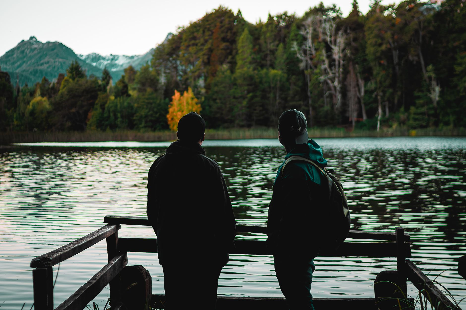
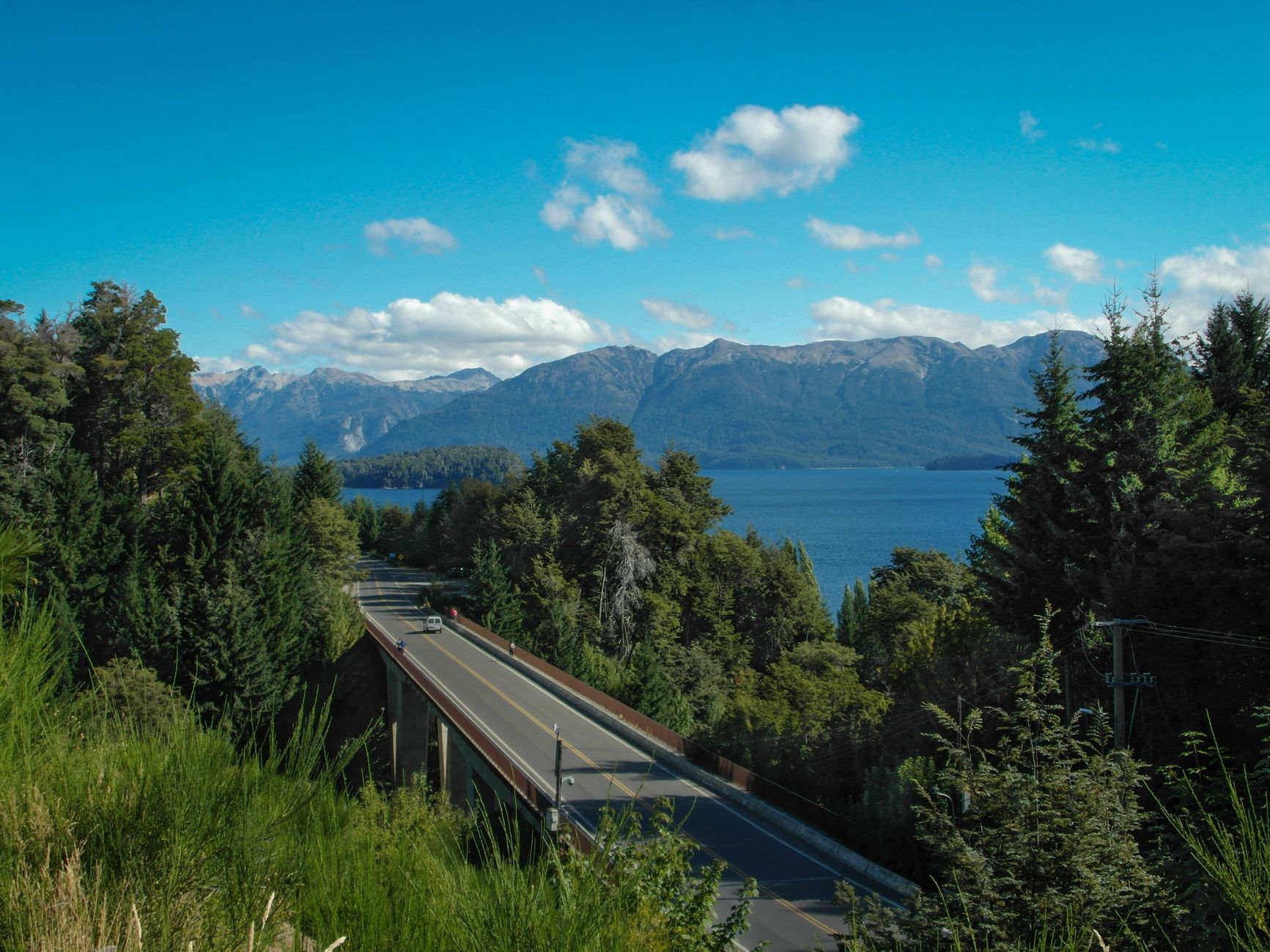
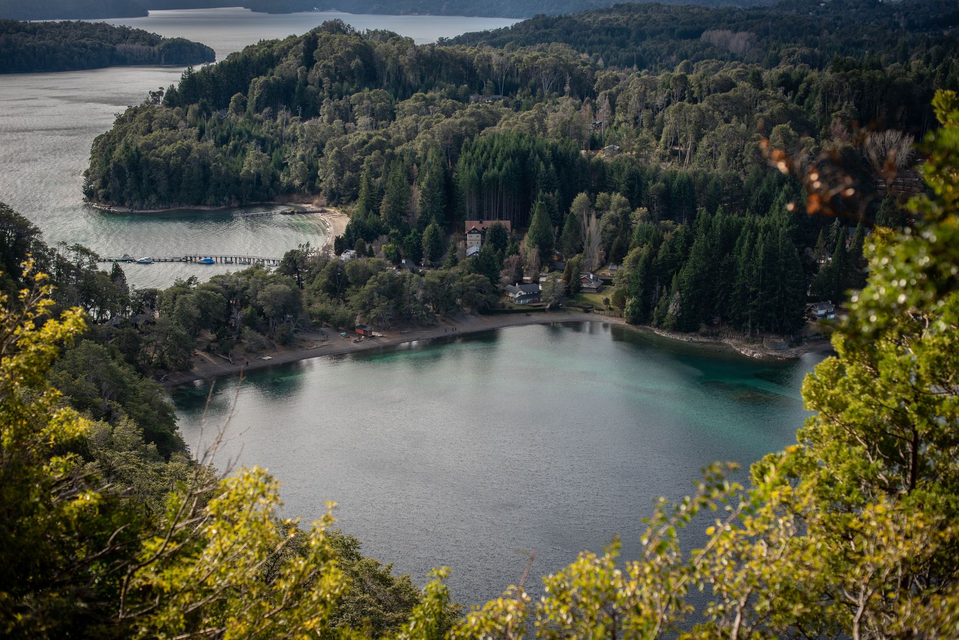


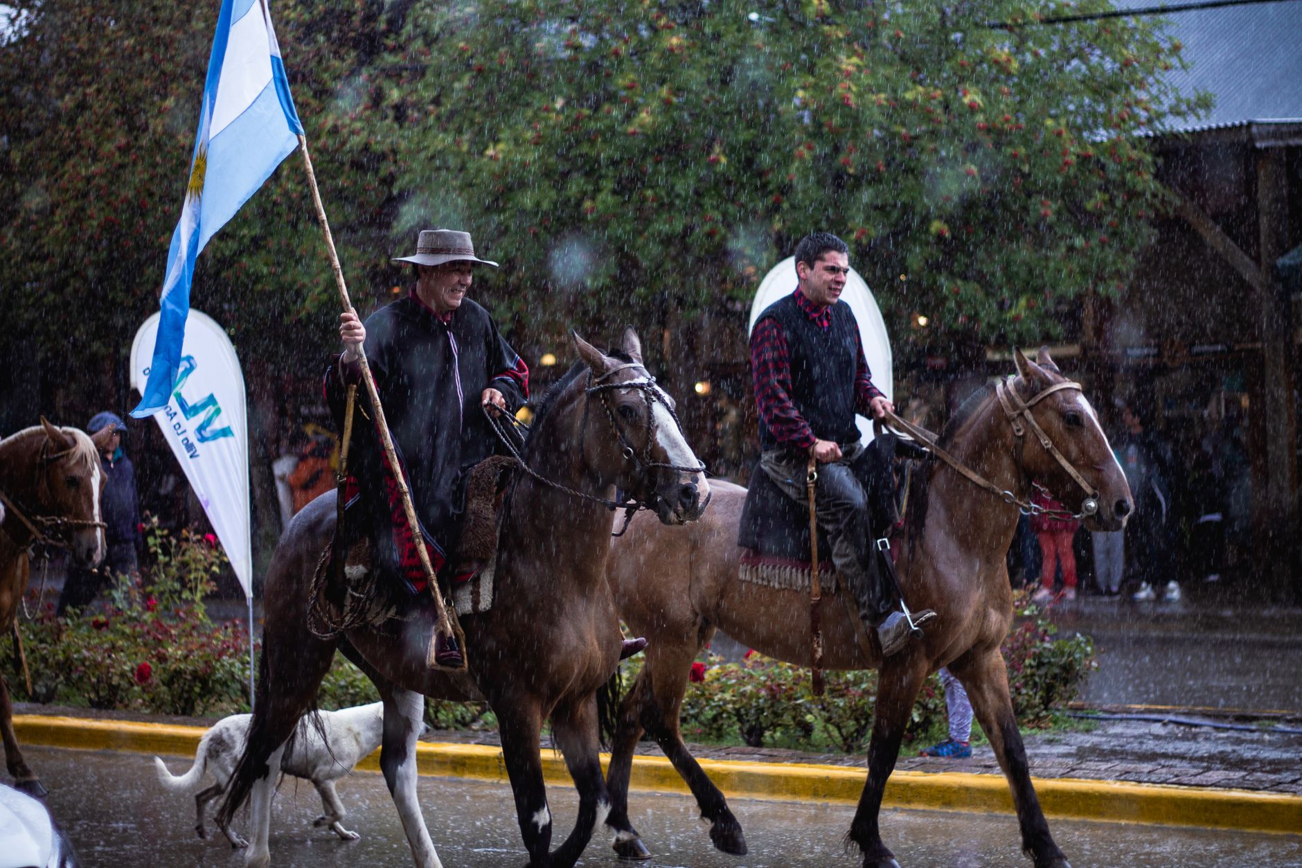
The name gives it away: Angostura means narrowness, and the town sits on a slender neck of land where Nahuel Huapi Lake pinches tight before opening again. That geography keeps Villa La Angostura from sprawling — you can walk its centre in twenty minutes, which is roughly the point. Chocolate shops and alpine-timber storefronts line the main street, but the real draw is what surrounds them: Andean forest, lake light that shifts by the hour, and a peninsula whose myrtle trees are found almost nowhere else on earth.
This is a quieter counterpart to Bariloche, eighty-three kilometres south. The ski resort, Cerro Bayo, is small enough that lift lines rarely form. The trail into Los Arrayanes National Park ends at a grove of cinnamon-barked arrayán trees so old and dense they read less like a forest than a fever dream.
💛 What travellers fall for
People who come back tend to time their walk to Los Arrayanes for morning — the park trail fills by afternoon in summer and the light on the water is better early anyway. They also learn quickly that the one bus line runs on its own logic, and a rental car changes everything about how freely you can move along the Seven Lakes road.
Deals in Villa La Angostura
Book directly at the provider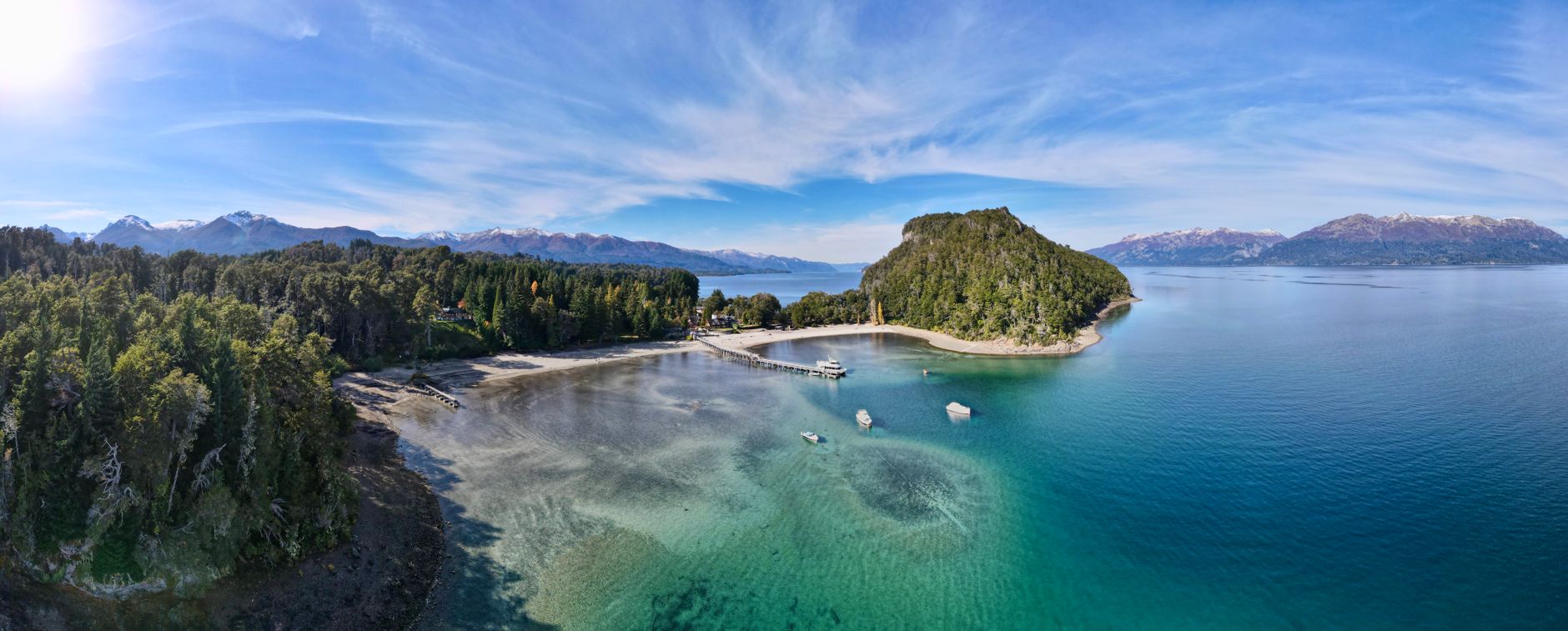
How Villa La Angostura came to be
The Argentine government established a colony here in 1902, naming the reserve Angostura for the narrowing strip of land it occupied. The town layout was surveyed around 1911, and formal village status came on May 15, 1932, when it was incorporated within Nahuel Huapi National Park. For its first decades it was a logging settlement, its economy built on the surrounding forest rather than the scenery.
The mid-1930s brought a wave of public construction — the Chapel of Our Lady of the Assumption, the National Parks office, the Court of Peace building, and School 104 all went up between 1936 and 1938, many designed by architect Alejandro Bustillo, who was simultaneously shaping the architectural character of the wider region. The Angostura Hotel, the first built by National Parks, followed in 1938. In June 2011, the Puyehue-Cordón Caulle volcano across the border in Chile buried the town under up to thirty centimetres of ash; it was declared a disaster area and has since recovered.
Who and what shaped it
People who shaped it
Landmark buildings
See Villa La Angostura in motion
Plan your visit
On the map
When to go
Summer days (December through March) are genuinely warm — highs in the high teens to mid-twenties Celsius, with evenings that stay light past nine — but nights can still drop near freezing, so a jacket always earns its place in your bag. The rest of the year is cool and frequently wet; Villa La Angostura is one of the rainiest places in Argentina, with precipitation possible on around three hundred days annually.
Right now
Background & history adapted from Wikipedia (CC BY-SA) · specs from Wikidata (CC0) · weather from Open-Meteo · map data © OpenStreetMap contributors · photos from Wikimedia Commons / Unsplash with per-image credit. No third-party reviews or social posts reproduced.