
El Calafate
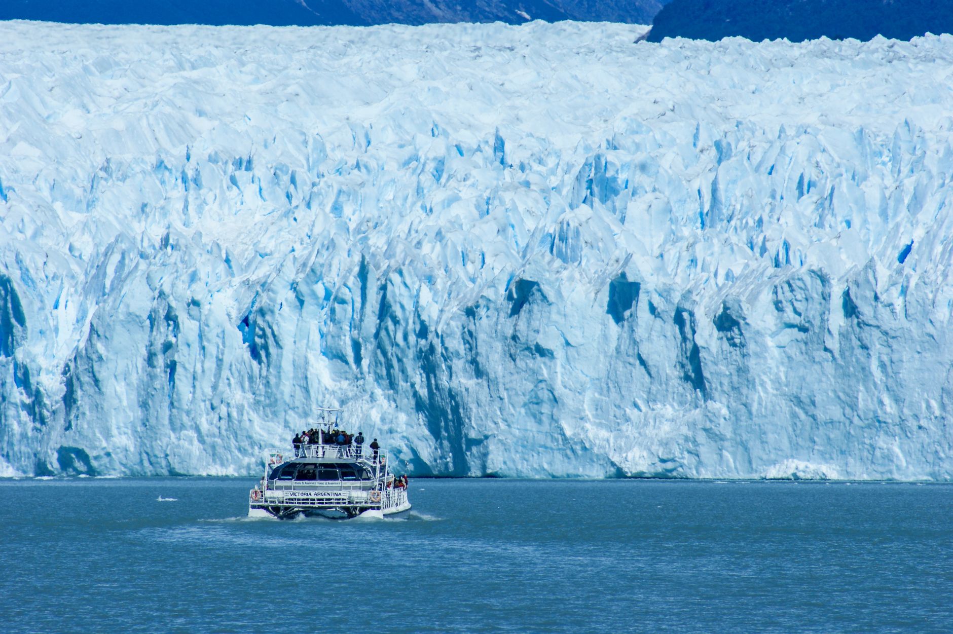
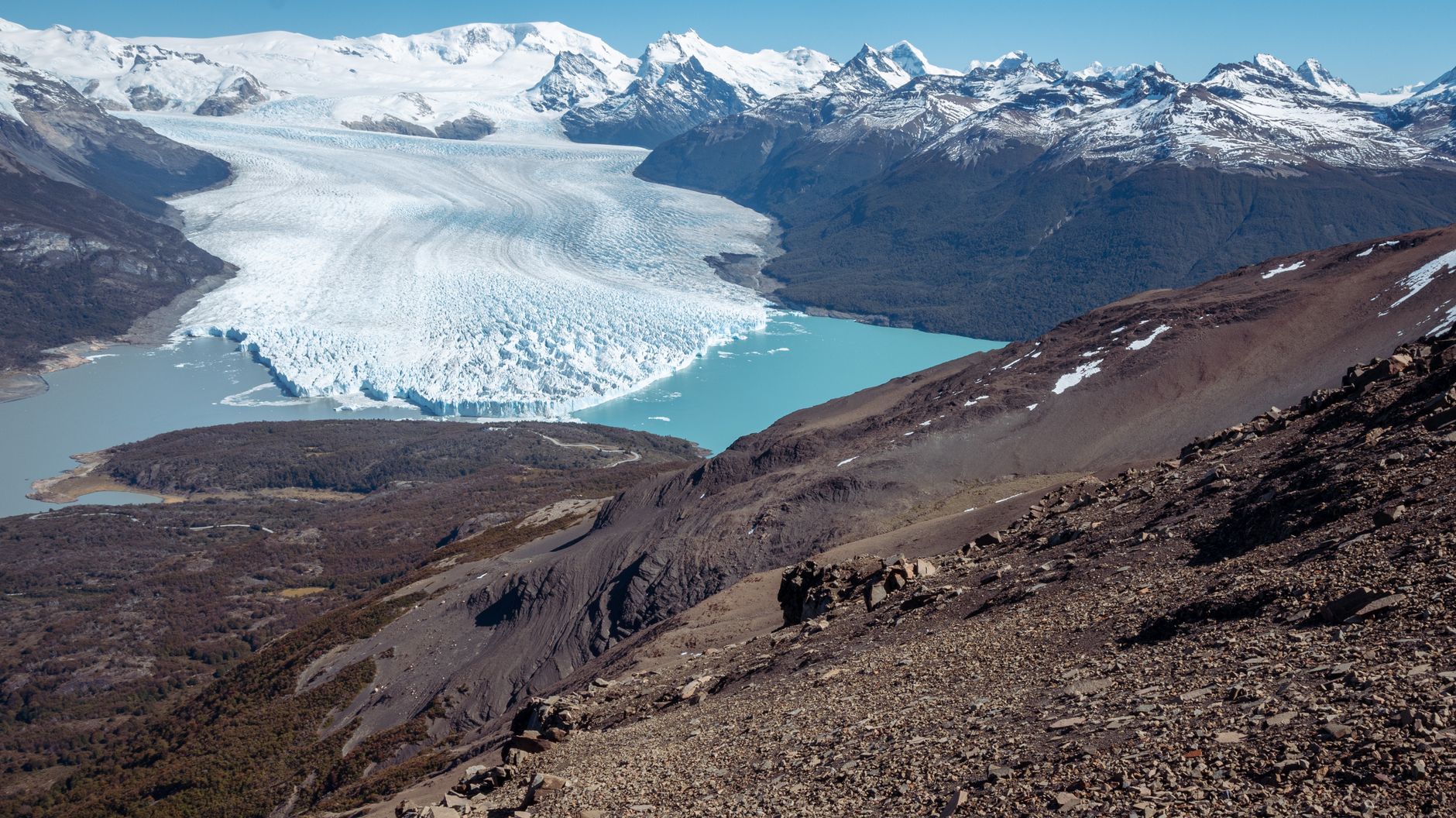
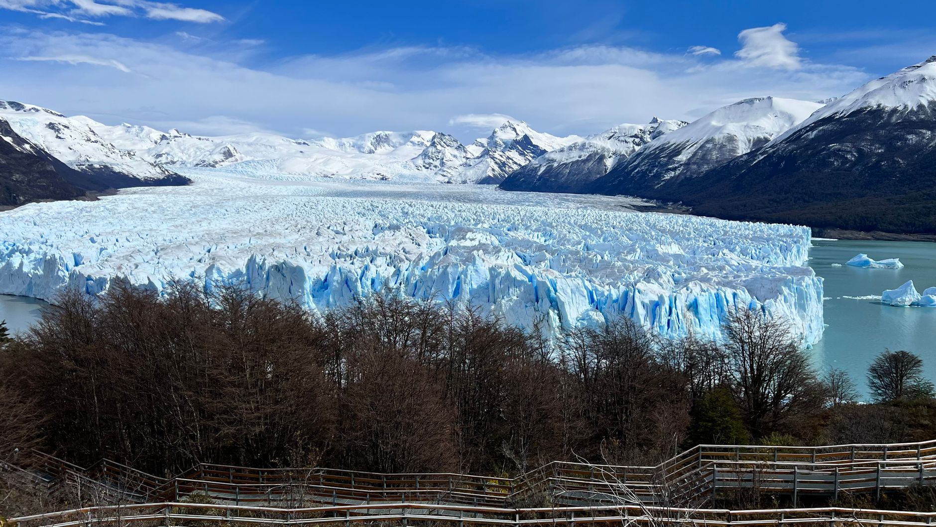
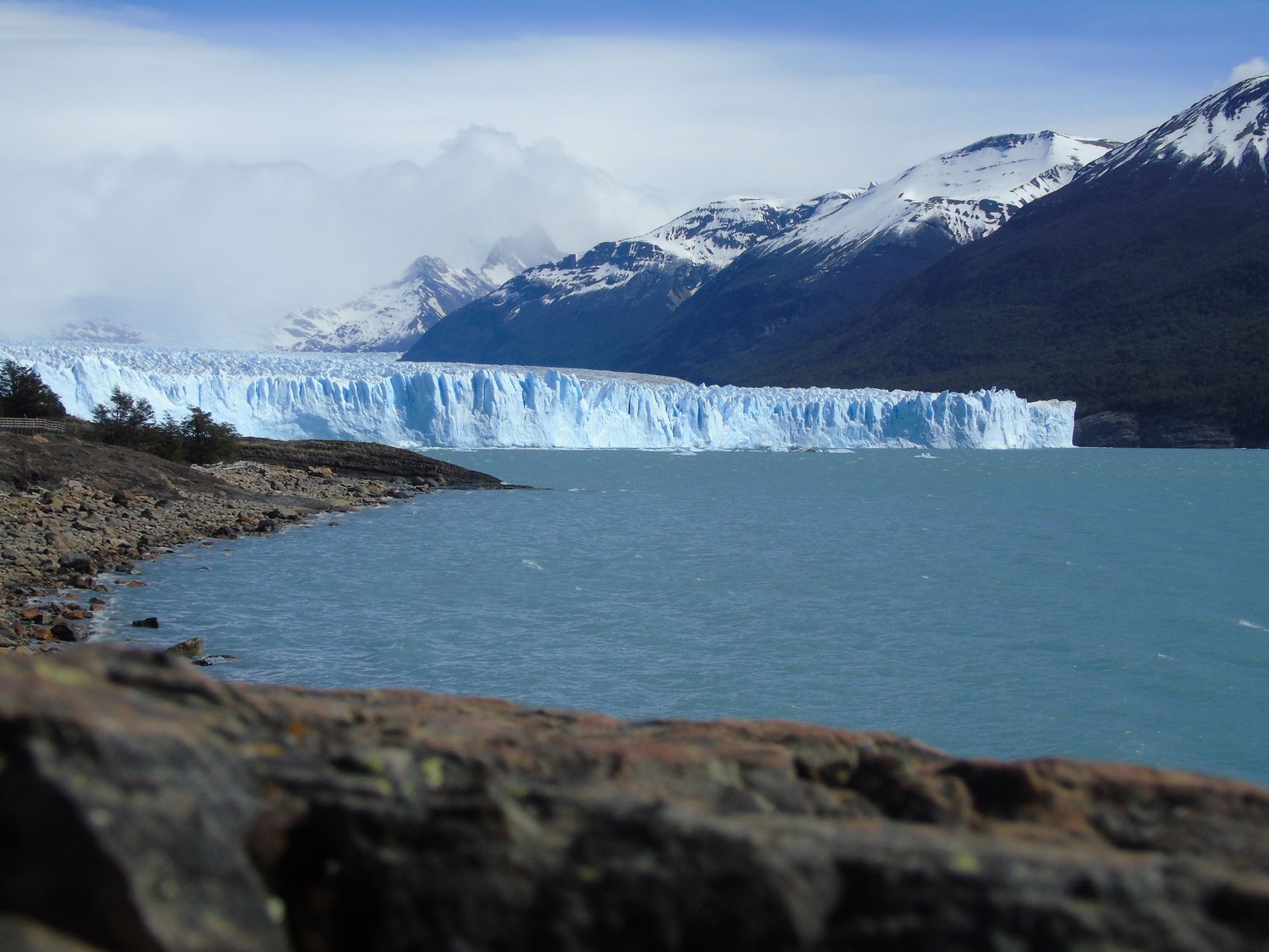
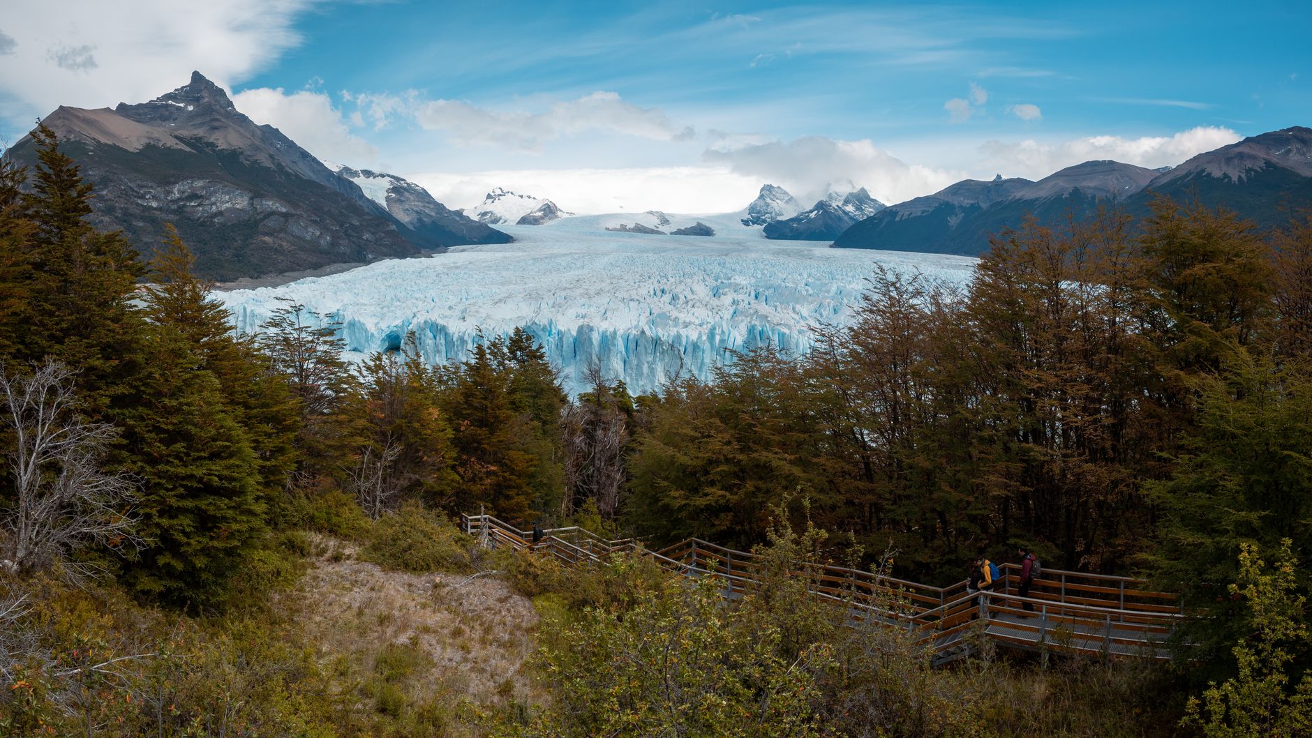
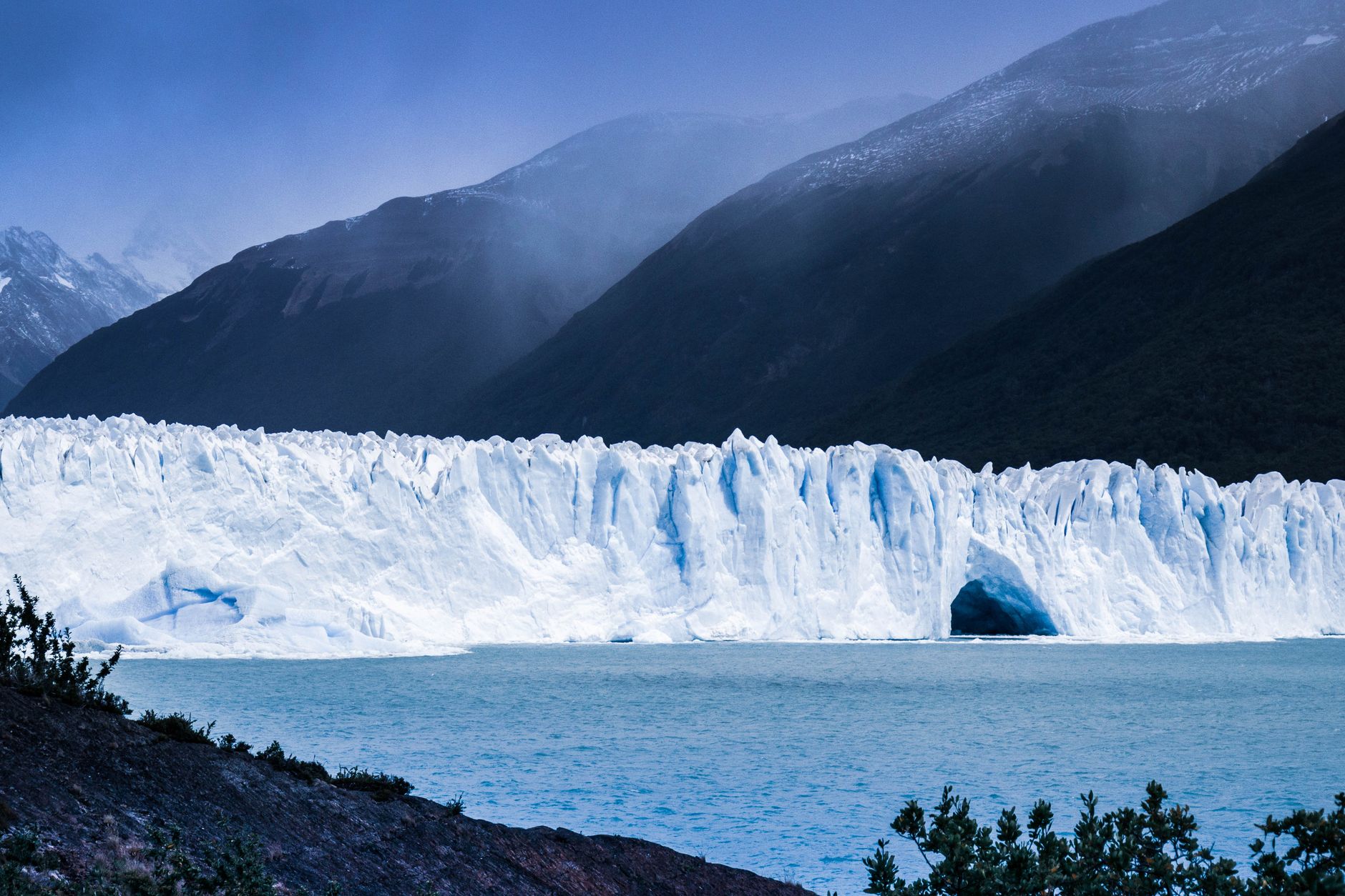
El Calafate exists, essentially, because of ice. The town of roughly 23,000 people sits on the southern shore of Lago Argentino — a lake so large it has its own weather — and nearly everything here orbits the Perito Moreno Glacier, 75 kilometres to the west. That slow-moving wall of ice, part of Los Glaciares National Park, calves into turquoise water with a sound like distant artillery, and the boardwalks threading above it stretch more than four kilometres.
Before the glacier became the draw, this was just a stop on the road — literally called La Parada, the waypoint where wagons rested. That history still shows in the town's pragmatic bones: a single main street, Avenida del Libertador, lined with gear shops and parrillas, a place that knows exactly what it is and doesn't try to be more.
💛 What travellers fall for
People who come back tend to say the same thing: go to the glacier early, on the first bus out around 7:30 AM, before the tour groups thicken. Book Hielo y Aventura's Big Ice trek if you want to actually walk on the ice rather than watch it from the platforms. And leave a day buffer — Patagonian wind grounds plans without apology.
Deals in El Calafate
Book directly at the provider


How El Calafate came to be
Francisco Pascasio Moreno — Perito Moreno, the explorer whose name now belongs to the glacier — reached Lago Argentino in February 1877, mapping territory few outsiders had documented. Formal settlement came slower. In April 1913, José Pantín, an immigrant from La Coruña, opened the first bar, general store, and inn, giving the place its first fixed address. The Argentine government made it official on December 7, 1927, with a founding decree.
For decades El Calafate remained a minor outpost. Los Glaciares National Park was established in 1937, and UNESCO added its World Heritage designation in 1981, but the town stayed small until the airport opened in 2000 and large aircraft could finally land. That single infrastructure change reordered everything — within a generation, a frontier waypoint became one of Patagonia's primary gateways.
Who and what shaped it
People who shaped it
Landmark buildings
See El Calafate in motion
Plan your visit
On the map
When to go
Summers (December–February) are dry and cool, rarely climbing above 19°C, with almost no rain but persistent westerly winds that pick up through the afternoon. Winters are genuinely cold — July averages barely above freezing and can drop to -15°C — with snow from May through September and only eight hours of daylight at the solstice.
Right now
Background & history adapted from Wikipedia (CC BY-SA) · specs from Wikidata (CC0) · weather from Open-Meteo · map data © OpenStreetMap contributors · photos from Wikimedia Commons / Unsplash with per-image credit. No third-party reviews or social posts reproduced.