
Punta Arenas
At the southern tip of South America, Punta Arenas sits on the western shore of the Strait of Magellan, where the wind can hit 130 kilometres an hour and city officials have strung ropes between downtown buildings so pedestrians can haul themselves along the pavement. That detail tells you something true about the place: it is serious about survival, and it has been since 1848, when a Chilean colonel relocated a struggling penal colony here to plant a flag on one of the world's most strategically important waterways.
What grew from that outpost is a city of Croatian and Russian immigrant mansions, a cemetery CNN once ranked among the most beautiful on earth, and a central square whose bronze Magellan looks out toward the strait he passed through in 1520.
💛 What travellers fall for
People who come back tend to do two things: they rub the toe of the Magellan statue on Plaza Muñoz Gamero — the old claim that it guarantees your return — and they eat centolla, the local king crab, at least once more than they planned. The Palacio Sara Braun is worth a drink inside just to stand in a room that grand this far south.
Deals in Punta Arenas
Book directly at the provider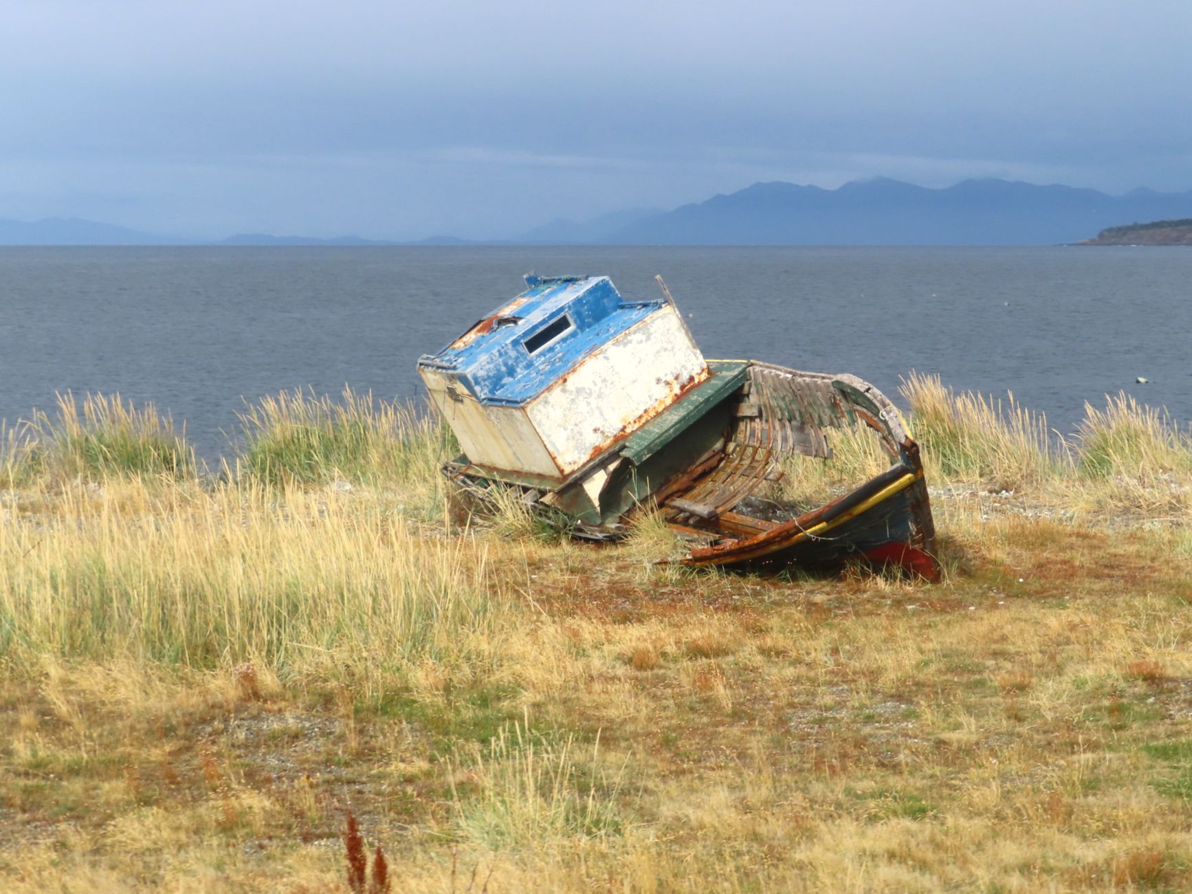
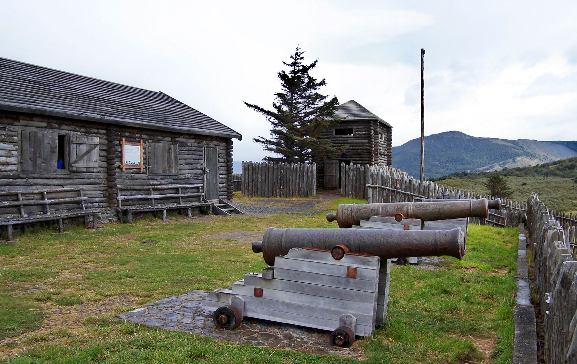
How Punta Arenas came to be
The city's founding moment was actually a relocation: in 1843 Chile established Fuerte Bulnes, 62 km to the south, to assert sovereignty over the strait. The site proved inhospitable, and in 1848 Governor José de los Santos Mardones moved the settlement north to its present position, naming it Punta Arenas.
The sheep-farming and gold-rush booms of the 1880s drew waves of European immigrants — Croatians and Russians prominent among them — and their money built the Parisian-influenced mansions that still line the central plaza. Sara Braun, who arrived from the Russian Empire and became one of Patagonia's most powerful entrepreneurs, commissioned her palace in 1895. Ernest Shackleton used the city as a base in 1916 while organising the rescue of his Endurance crew. The city was briefly renamed Magallanes in 1927 before reverting to Punta Arenas in 1938.
Who and what shaped it
People who shaped it
Landmark buildings
See Punta Arenas in motion
Plan your visit
On the map
When to go
Summers (December to February) average around 11°C and bring the fiercest winds; winters (June to August) drop to roughly 2°C with occasional snow. Layers and a windproof outer shell are non-negotiable in any season.
Right now
Background & history adapted from Wikipedia (CC BY-SA) · specs from Wikidata (CC0) · weather from Open-Meteo · map data © OpenStreetMap contributors · photos from Wikimedia Commons / Unsplash with per-image credit. No third-party reviews or social posts reproduced.