
San Martín de los Andes
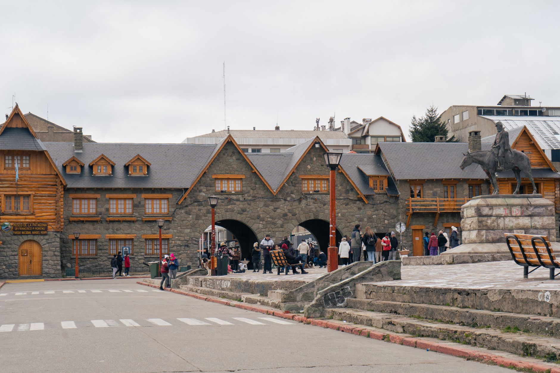
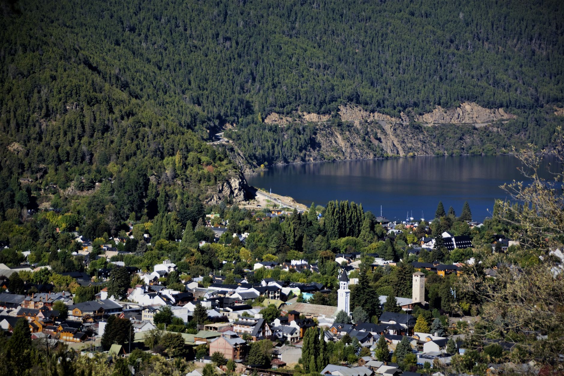
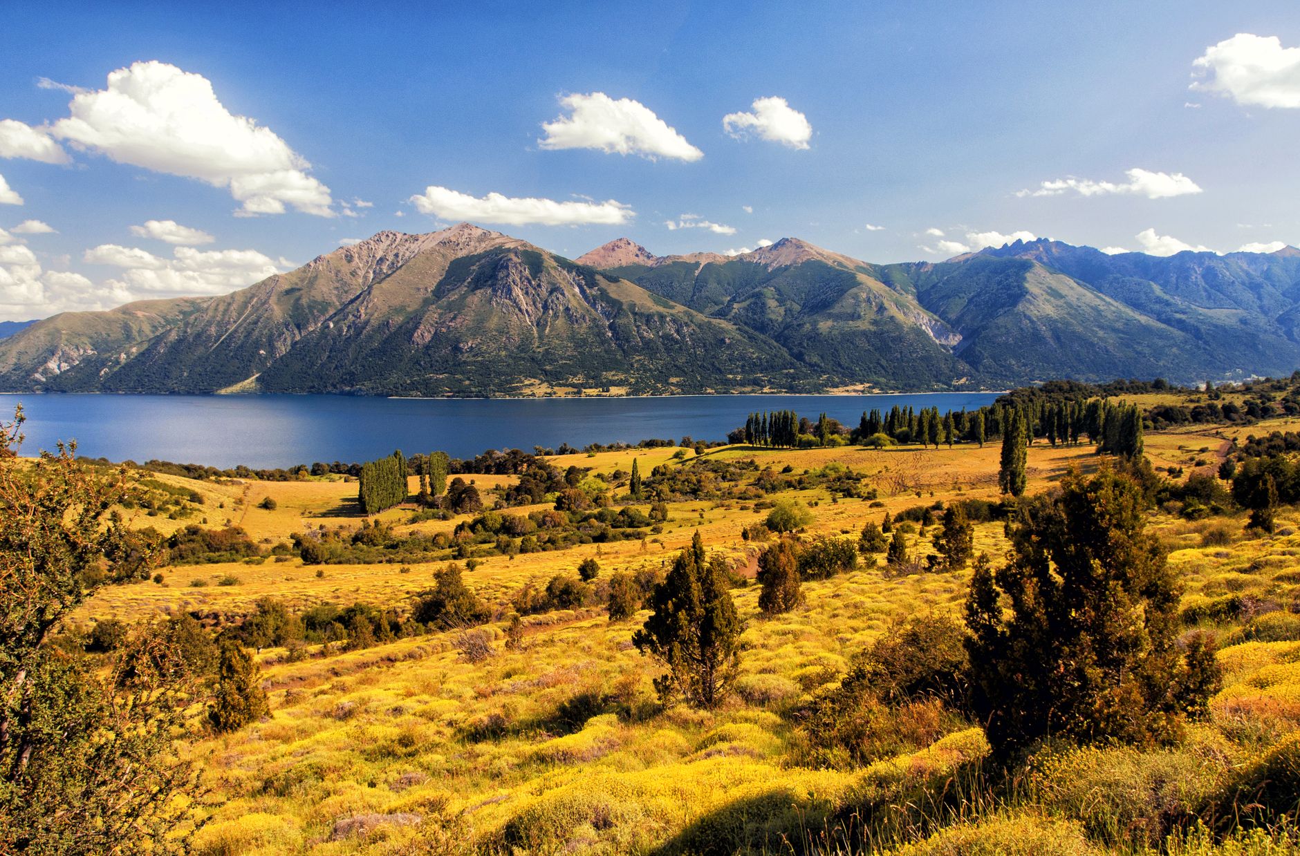
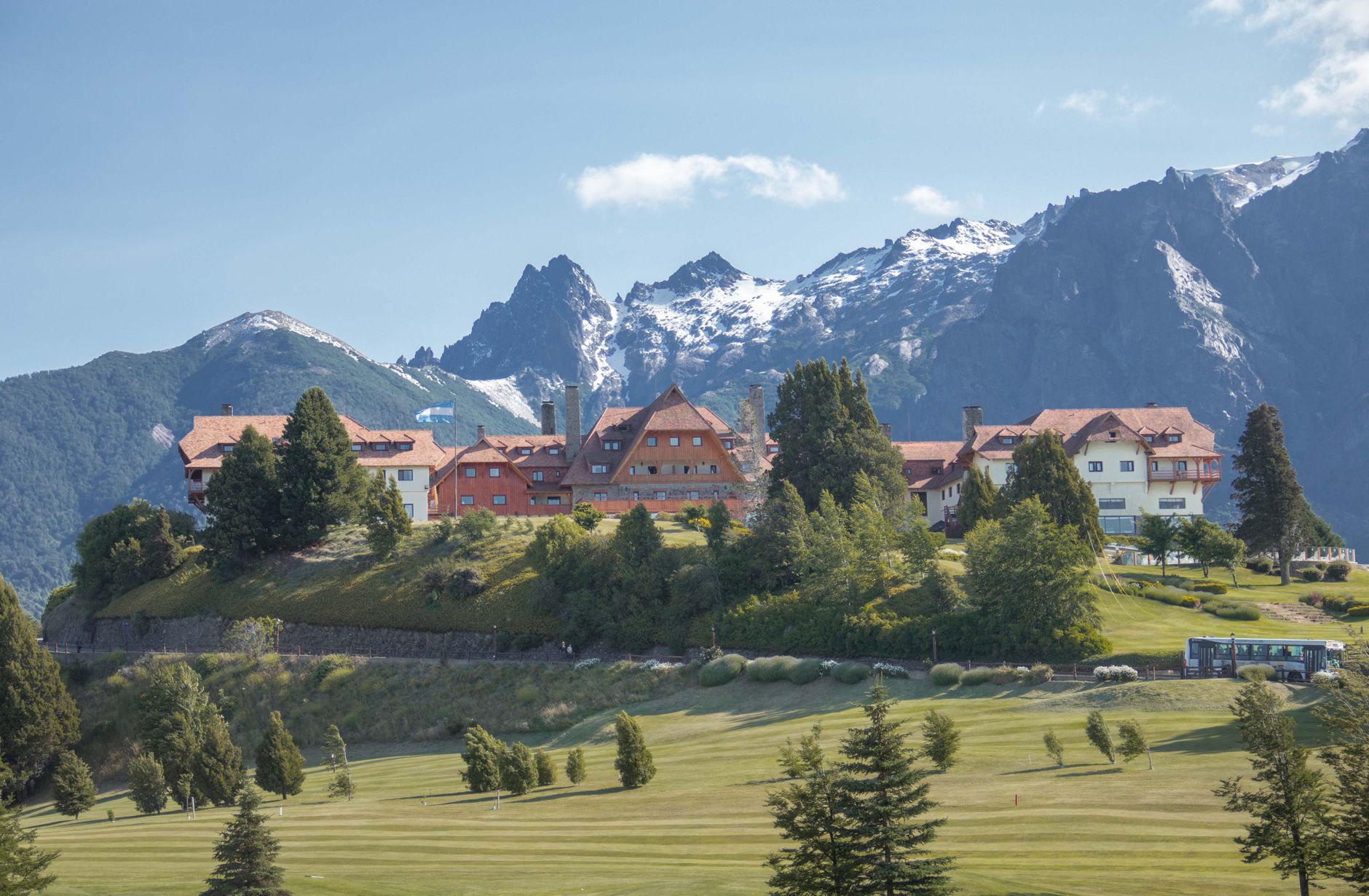
The thing that stops you first in San Martín de los Andes is the skyline — or rather, the absence of one. A 1979 municipal code requires every building to use natural wood and stone, so the whole town reads as a single low-slung composition against the Andes. That rule traces back to architect Alejandro Bustillo, who designed the Lanín National Park administration building and, in doing so, set a standard the city made permanent.
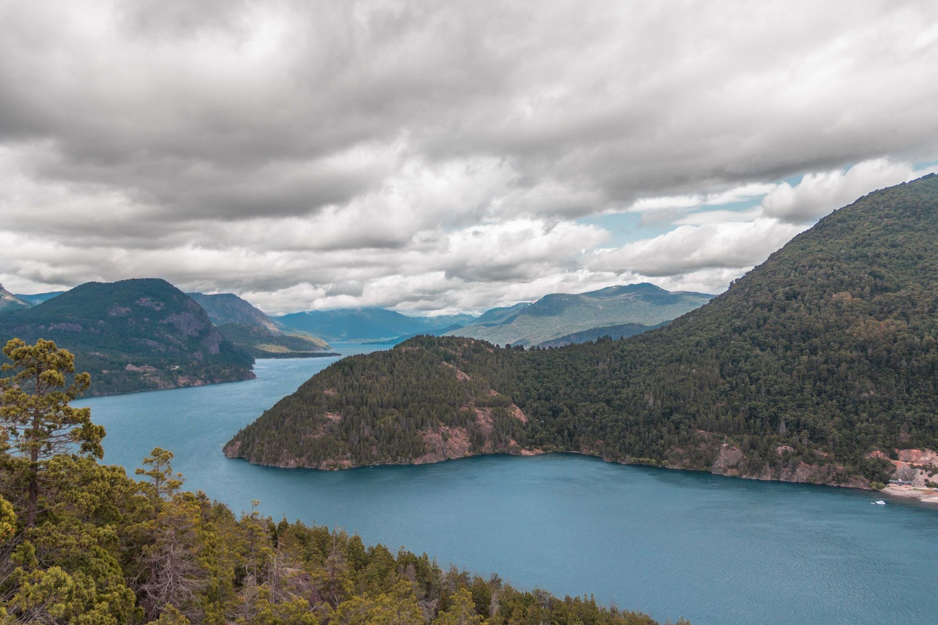
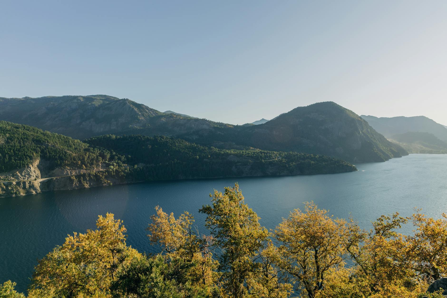
Sit long enough on the promenade at Lake Lácar — a glacial lake that the mountains close around like a fist — and you understand why a military outpost became a resort town. The lake is the town's gravitational centre: catamarans leave from the main dock, the bus terminal sits at its edge, and the streets of restaurants and chocolatiers fan out from there on foot.
💛 What travellers fall for
People who come back tend to time a return for late April, when the beech forests above town go copper and the summer crowds have left. They'll tell you to walk Gral Villegas for a craft beer, then cut across to San Martín street for chocolate, and to take the Mirador Bandurrias trail in the morning before the wind picks up.
Deals in San Martín de los Andes
Book directly at the provider
How San Martín de los Andes came to be
San Martín de los Andes was founded on 4 February 1898 as a military post, its purpose to assert Argentine sovereignty over the Andean borderlands. Colonel Celestino Pérez carried out the order; behind the directive stood Rudecindo Roca, brother of President Julio Argentino Roca. Before the garrison arrived, the Chapelco valley had been used by the Puelches as winter shelter.
For nearly four decades the economy ran on timber and livestock. That changed in 1937, when Lanín National Park opened and reoriented the town toward tourism. A second pivot came in 1978 with the Cerro Chapelco ski complex, which turned a seasonal destination into a year-round one. The following year the municipality locked in Bustillo's architectural language by law — making the wood-and-stone aesthetic not just a style but a condition of building here at all.
Who and what shaped it
People who shaped it
Landmark buildings
See San Martín de los Andes in motion
Plan your visit
On the map
When to go
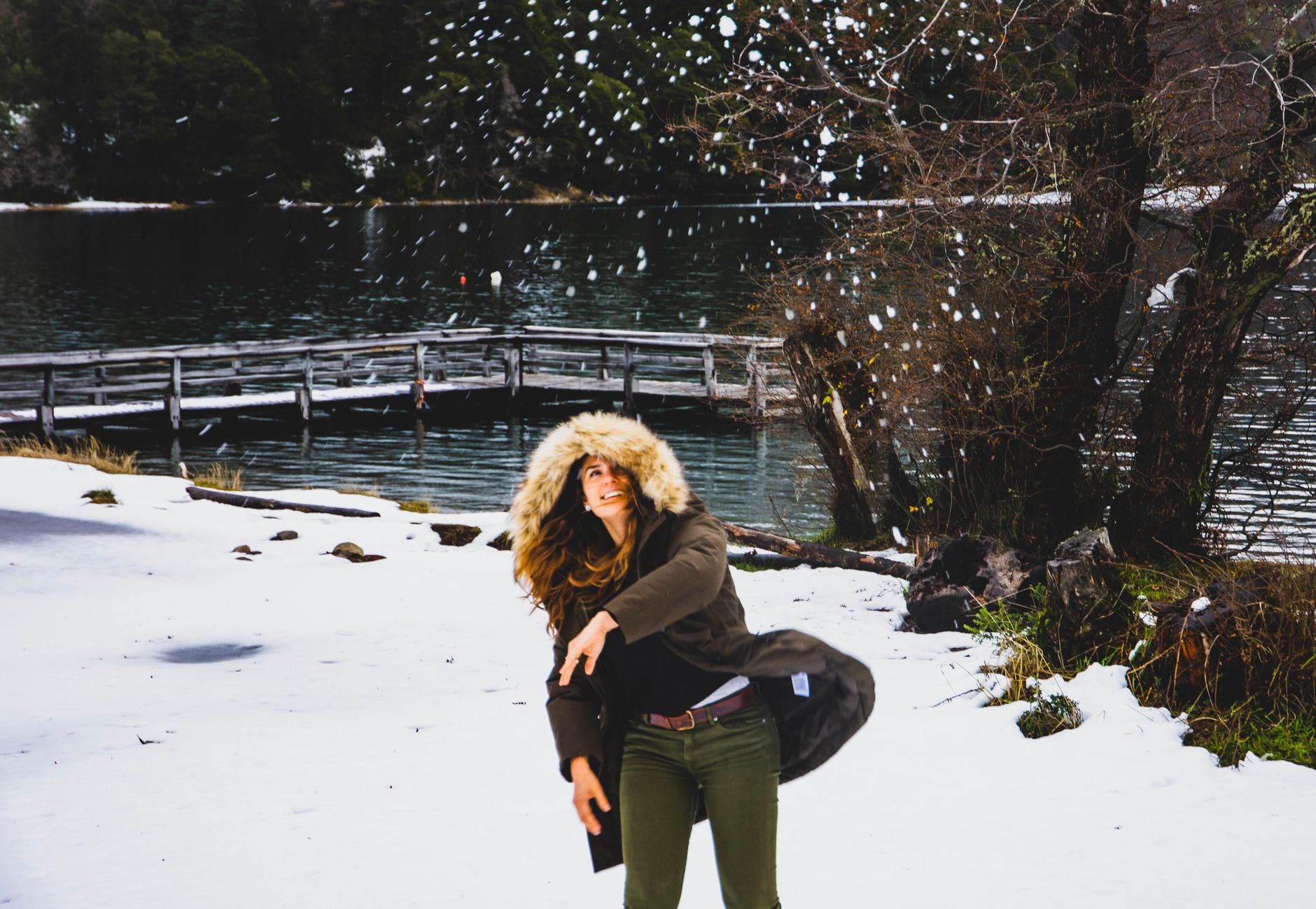
Winters (June–September) are cold and wet, with July averaging just above freezing and the highest rainfall of the year — the conditions that keep Chapelco's slopes in good shape. Summer (December–February) is mild rather than warm, with February peaking around 13°C and notably little rain, which makes it the most reliable window for hiking and lake days.
Right now
Background & history adapted from Wikipedia (CC BY-SA) · specs from Wikidata (CC0) · weather from Open-Meteo · map data © OpenStreetMap contributors · photos from Wikimedia Commons / Unsplash with per-image credit. No third-party reviews or social posts reproduced.