
Dolomites (Trentino-Alto Adige)

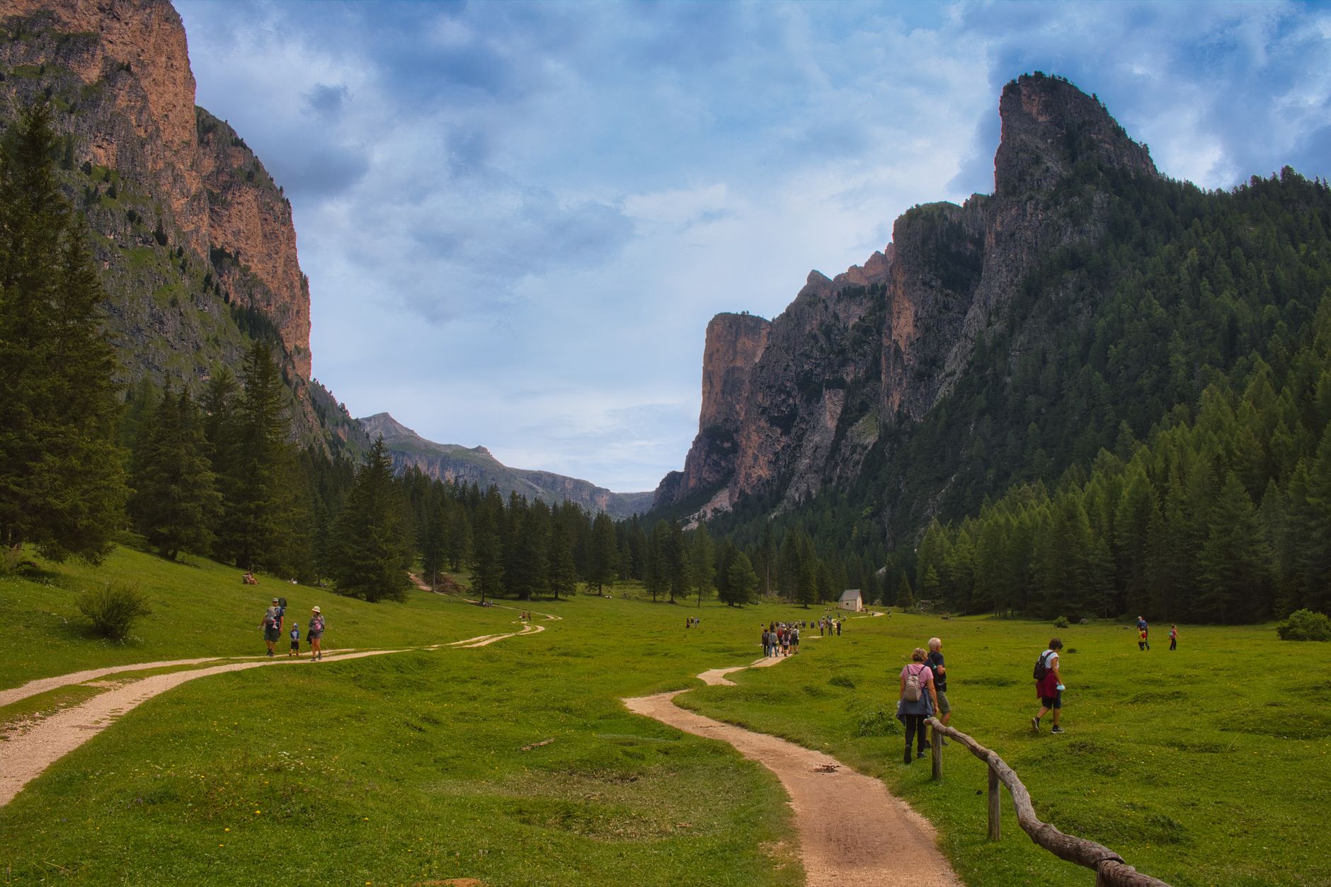


The rock here does something unusual at dusk. The peaks — calcium-magnesium carbonate all the way through — turn a deep, burning red before the light drops entirely. The Ladin people, who have lived among these valleys for centuries speaking a language descended from Vulgar Latin, have a word for it: enrosadira. It is the first thing that tells you the Dolomites are not like other mountains.
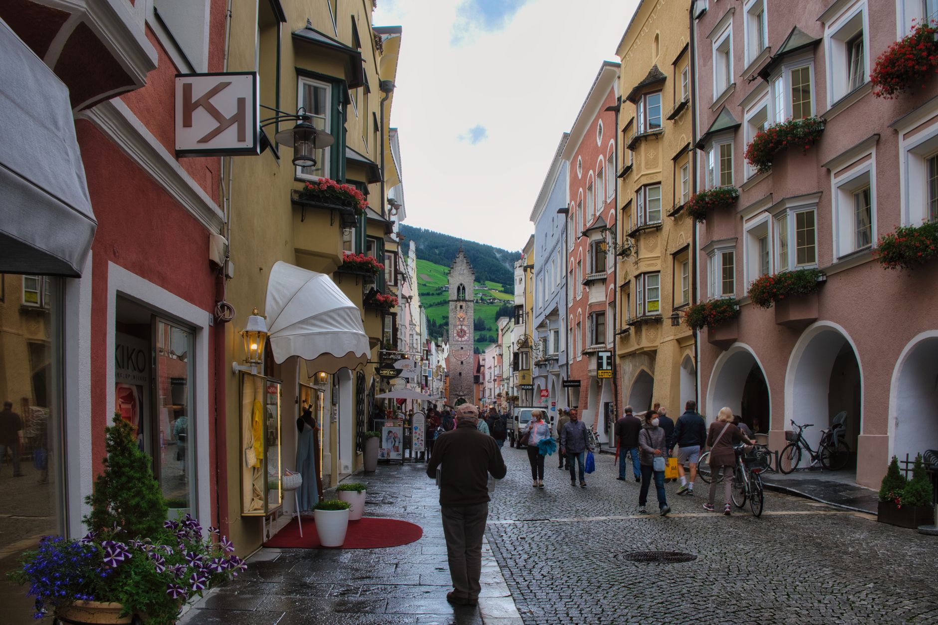
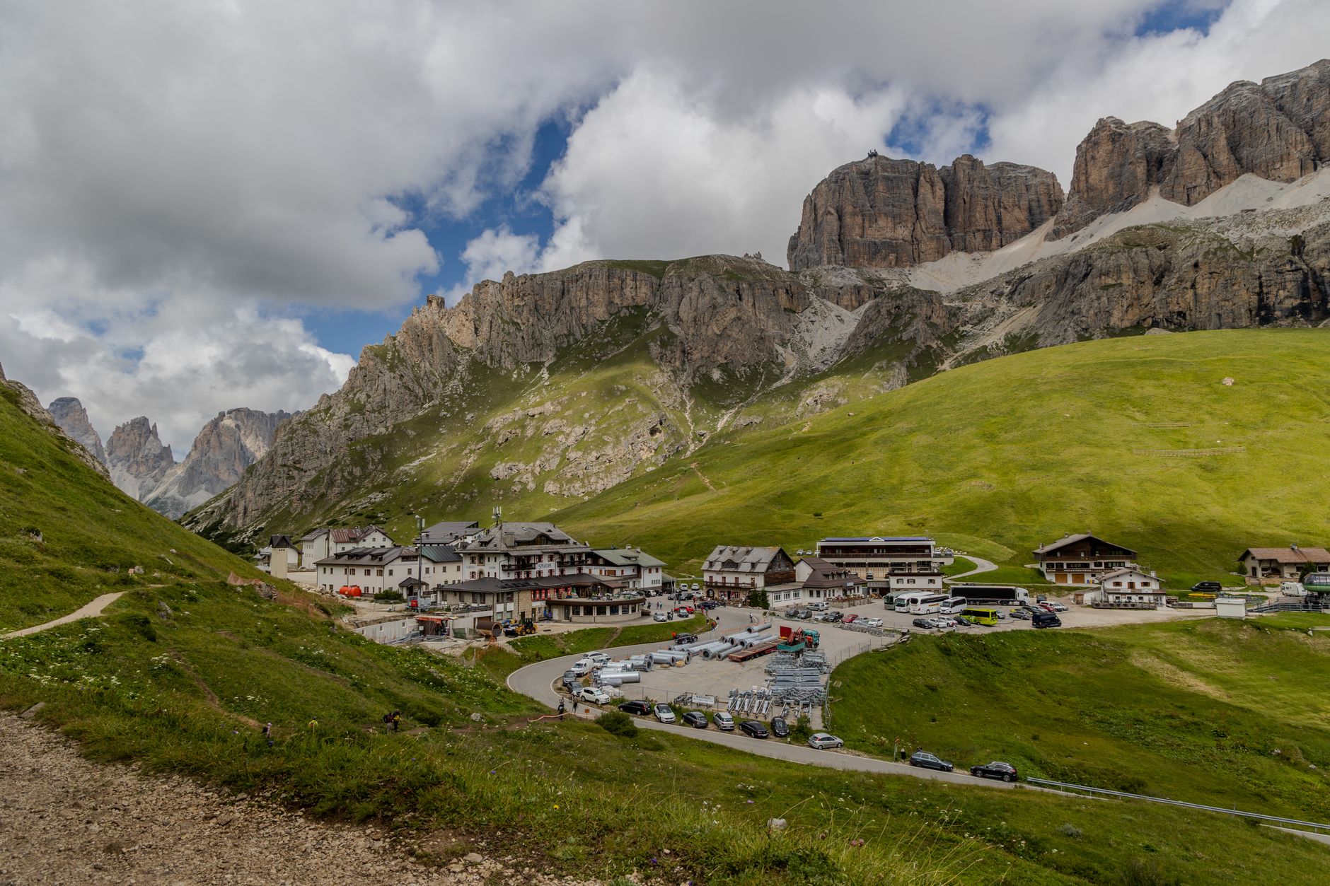
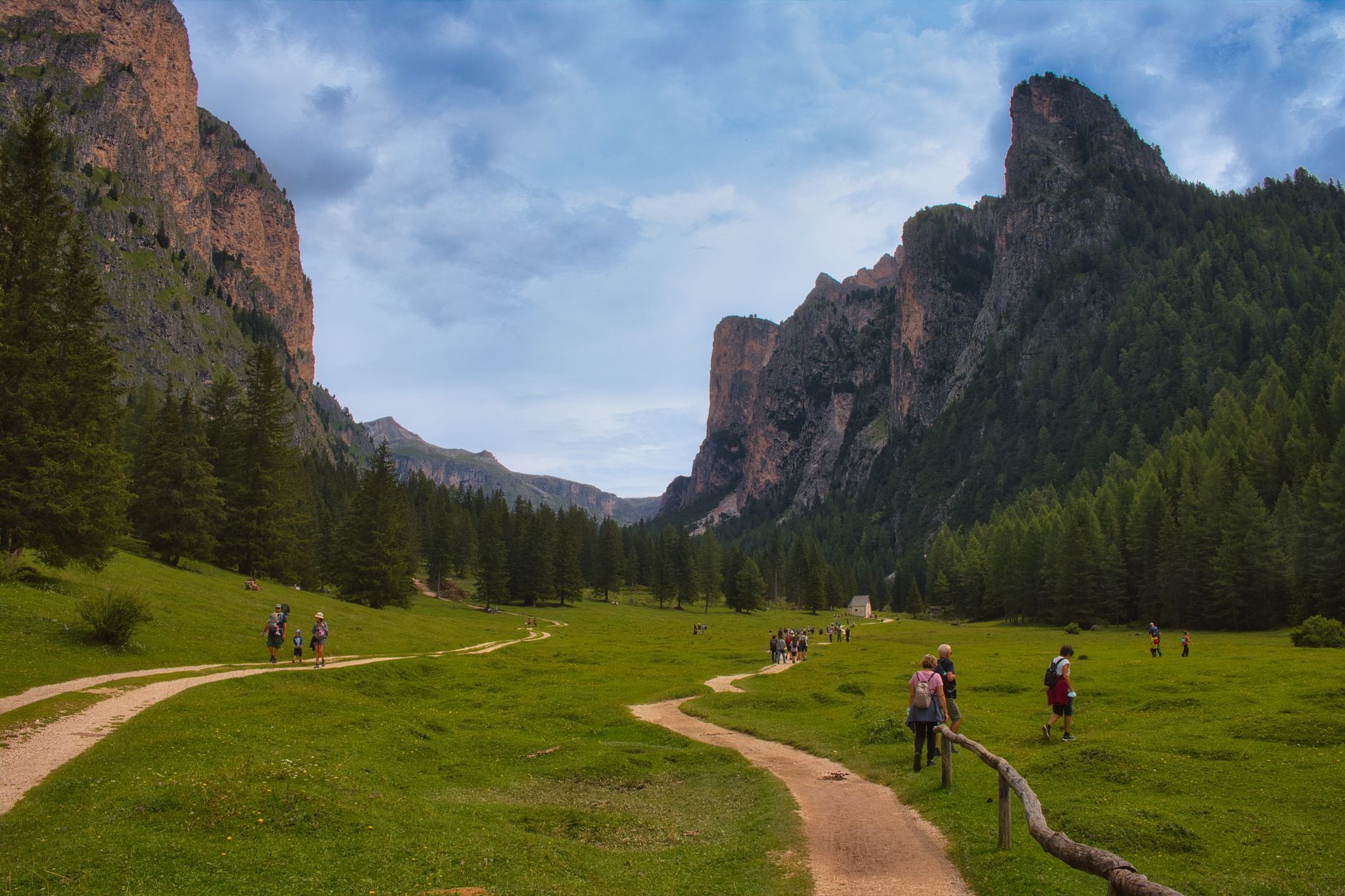
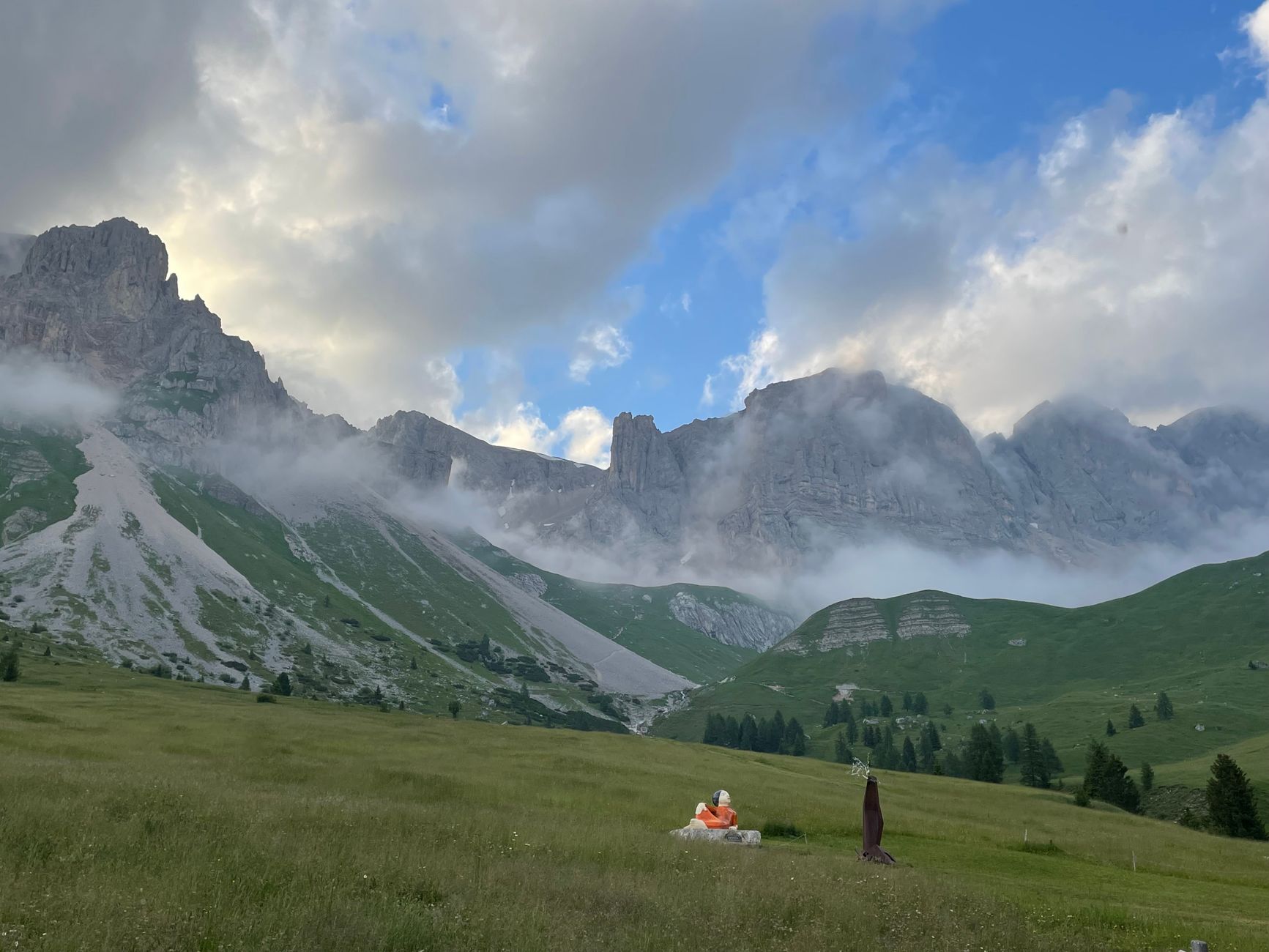
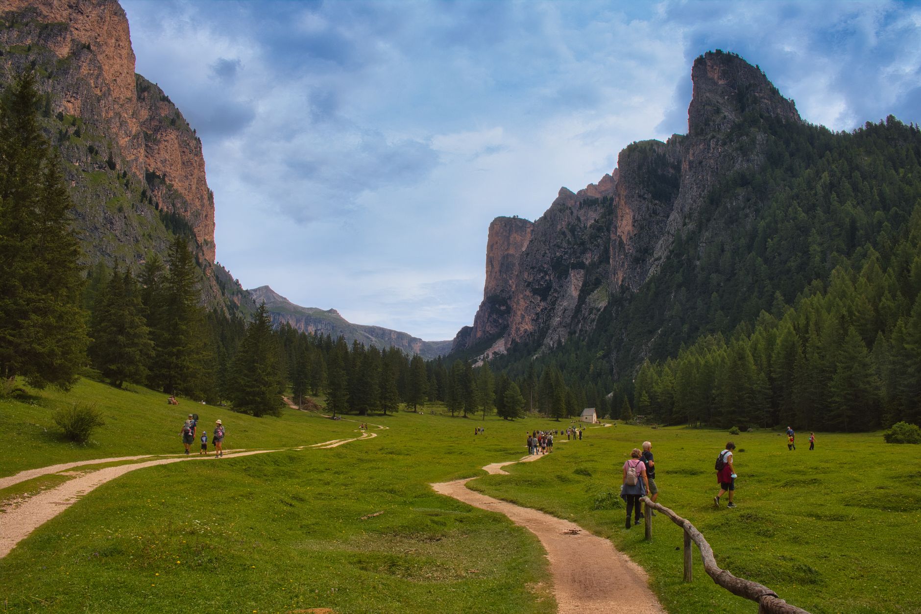
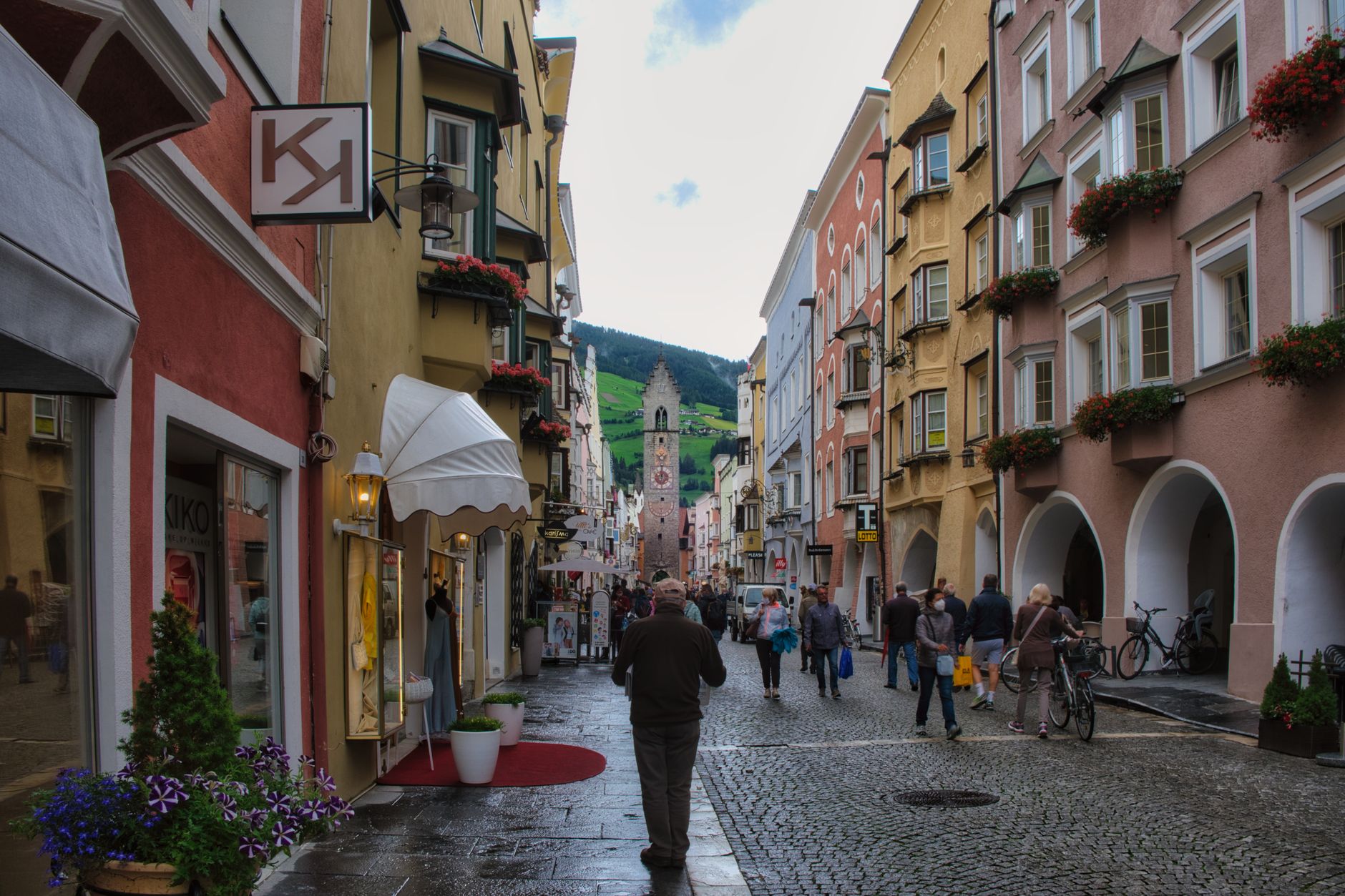
The range sits in the far northeast of Italy, where the language on shop signs shifts between Italian and German and sometimes Ladin, and where the cooking reflects all three. The landscape moves in abrupt contrasts — vertical towers of pale rock rising straight out of rolling green pastures, as if two different worlds forgot to negotiate a border.
Popular cities in Dolomites (Trentino-Alto Adige)
💛 What travellers fall for
People who come back tend to time return trips around the Alta Via routes, which cross the range at altitude over several days. Val Gardena regulars book the Ortisei ropeway early to beat the morning crowds onto the Alpe di Siusi plateau. In Primiero, the tosèla cheese is worth seeking out specifically in summer, when it is made fresh.
Experiences you don't want to miss


How Dolomites (Trentino-Alto Adige) came to be
The rock itself is the beginning of the story. Around 250 million years ago, this entire region lay under a shallow tropical sea, accumulating coral and shell deposits on the floor of what geologists call the Tethys. When the African and European plates collided roughly 30 million years ago, those sedimentary layers were pushed upward into the peaks you see today, eventually exceeding 3,000 metres.
The mountains had no collective name until the French naturalist Déodat de Dolomieu — born 1750, died 1801 — identified the distinctive mineral composition of the rock. Before that, locals simply called them the Pale Mountains. The first recorded alpinism attempt on the highest peak, Marmolada at 3,343 metres, came in August 1802. UNESCO recognised the range as a World Heritage Site on June 26, 2009.
Who and what shaped it
People who shaped it
Landmark buildings
See Dolomites (Trentino-Alto Adige) in motion
Plan your visit
On the map
When to go
Summer on the valley floors runs warm (around 25°C), while the high plateaus stay cool enough to require a layer at dawn; July and August are the most stable months for walking. Winter is cold and serious below 1,000 metres — night temperatures can fall to –20°C — but the Dolomites see sun roughly eight days out of ten in the cold season, which is more than most of the Alps.
Right now
↡ Cities
No places match these filters.
Background & history adapted from Wikipedia (CC BY-SA) · specs from Wikidata (CC0) · weather from Open-Meteo · map data © OpenStreetMap contributors · photos from Wikimedia Commons / Unsplash with per-image credit. No third-party reviews or social posts reproduced.