
Canary Islands
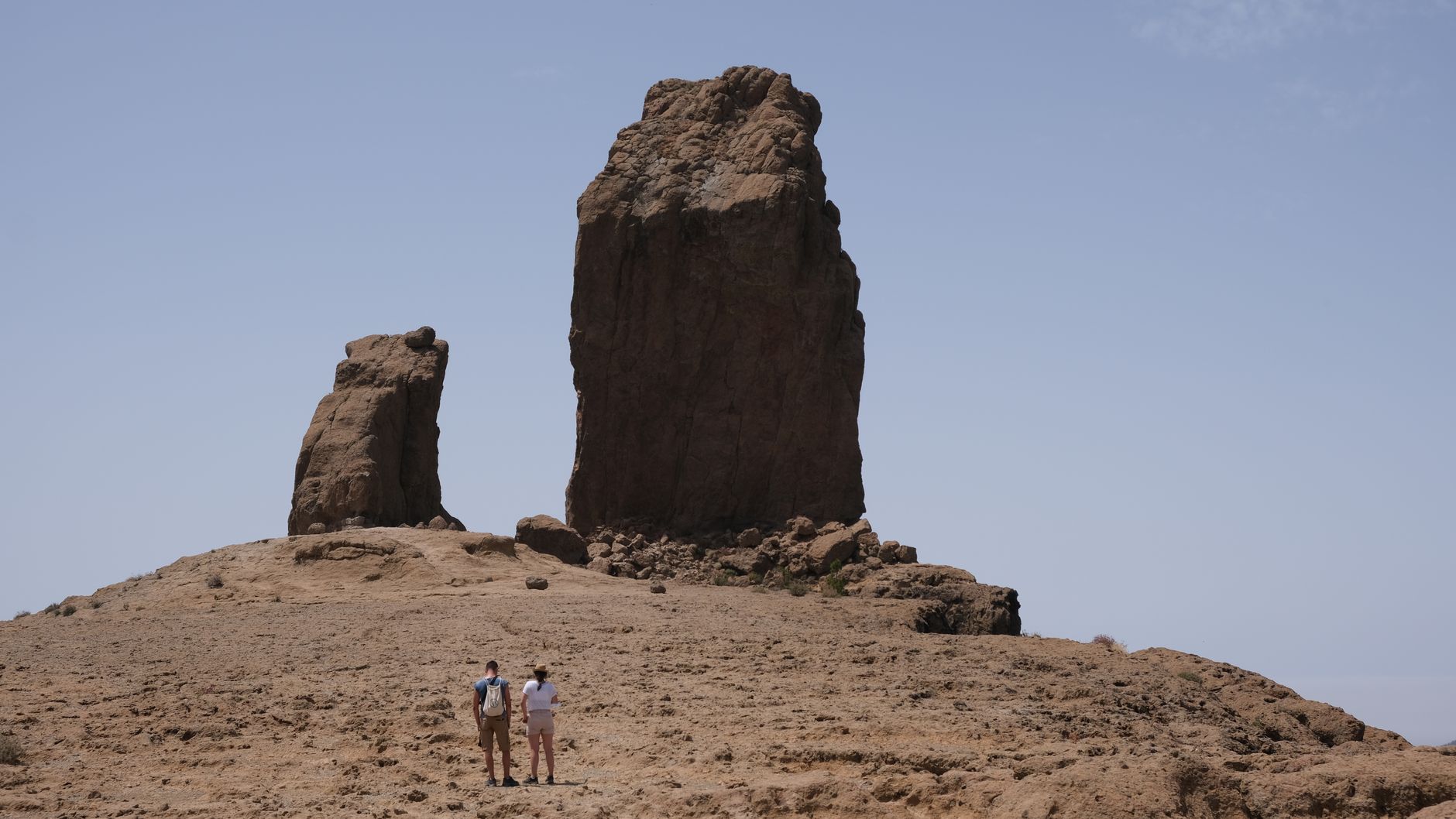
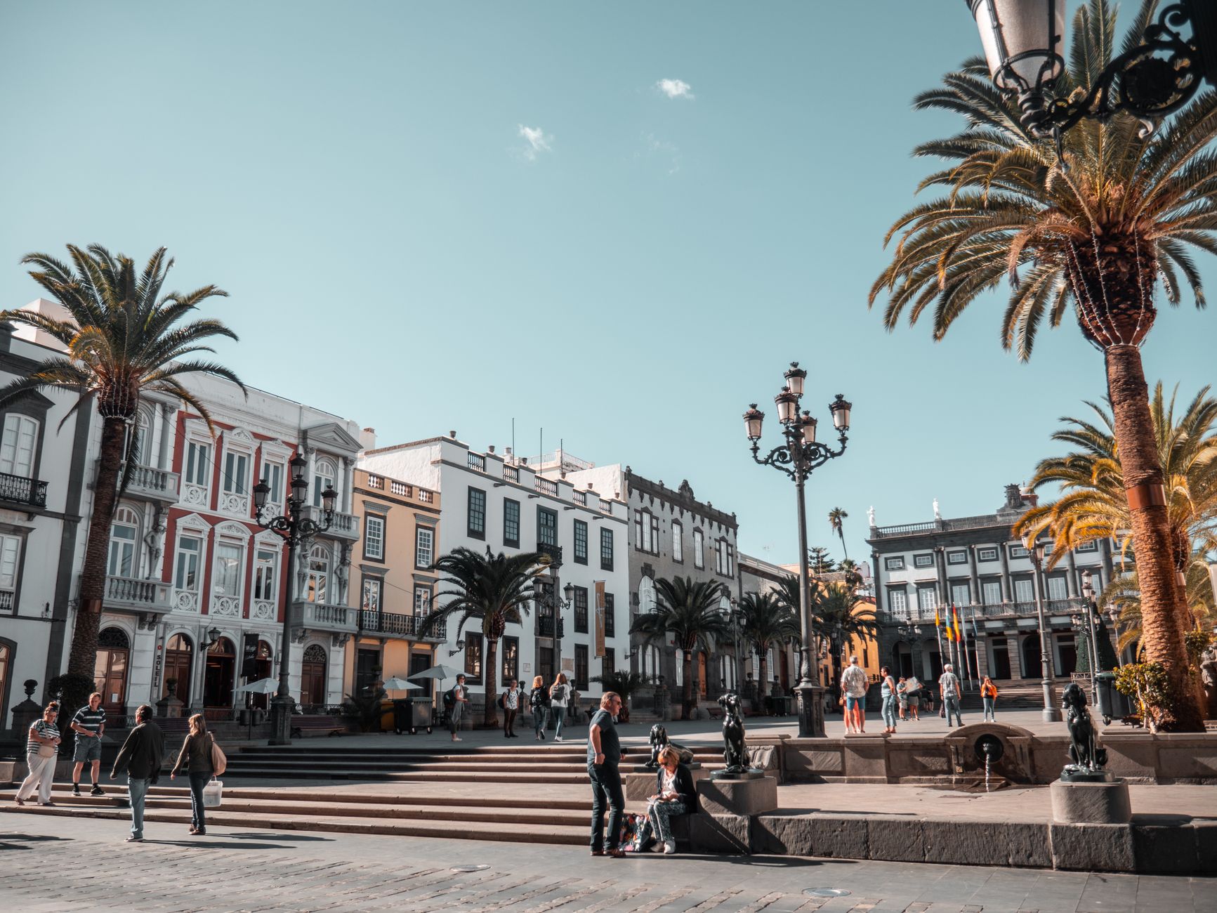
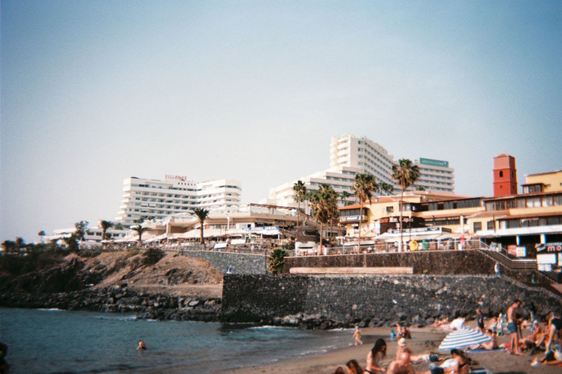
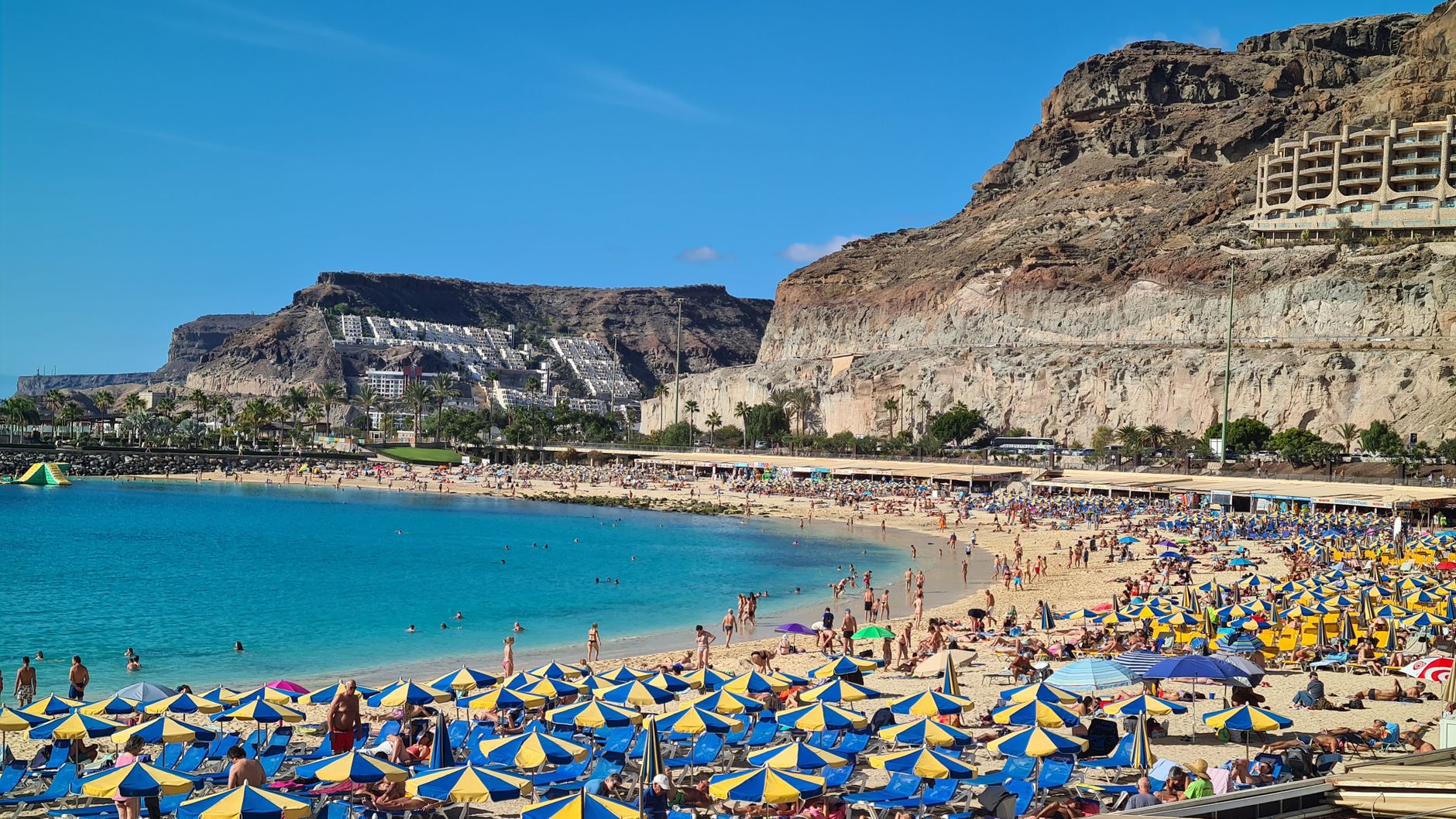
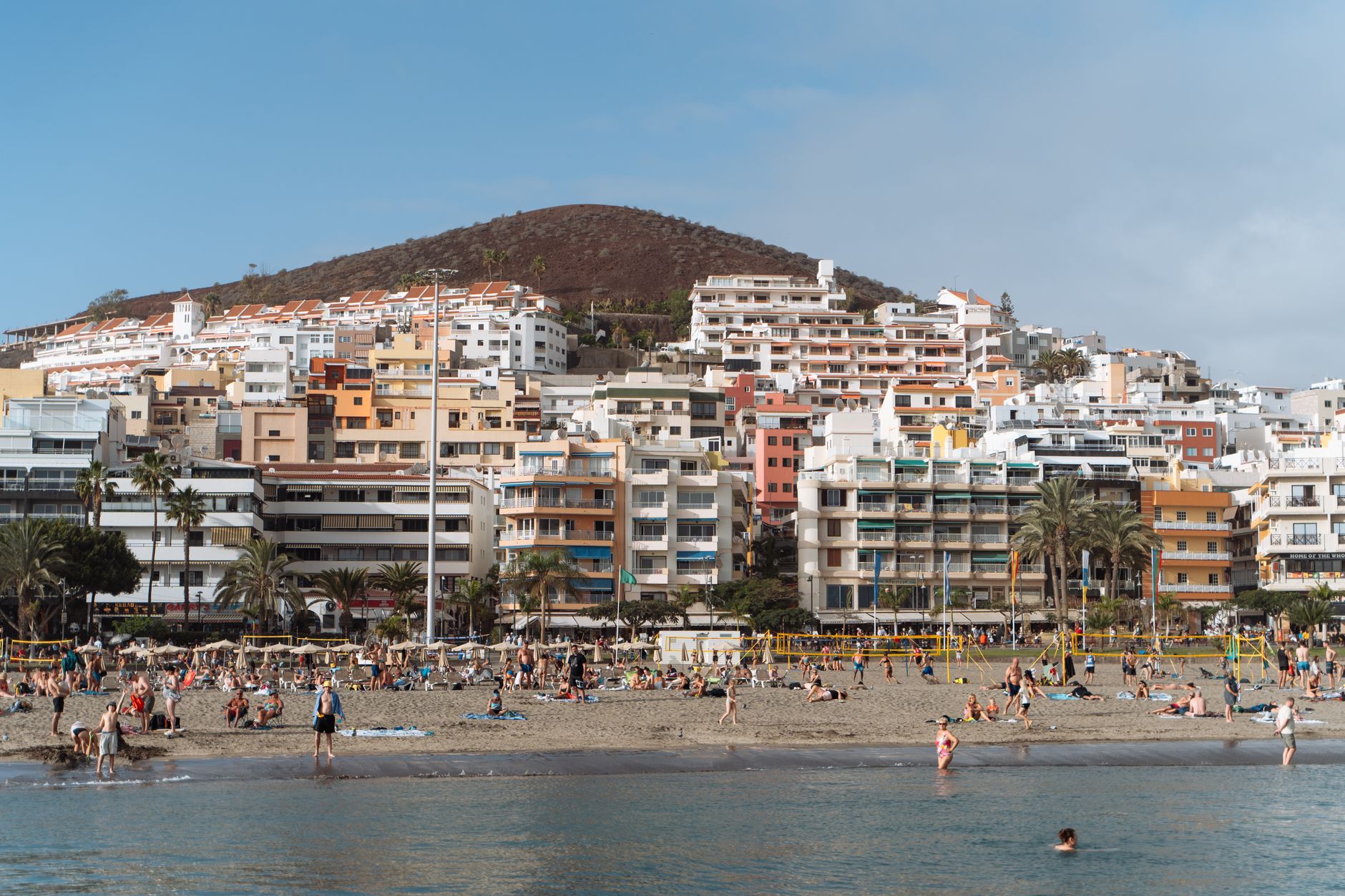
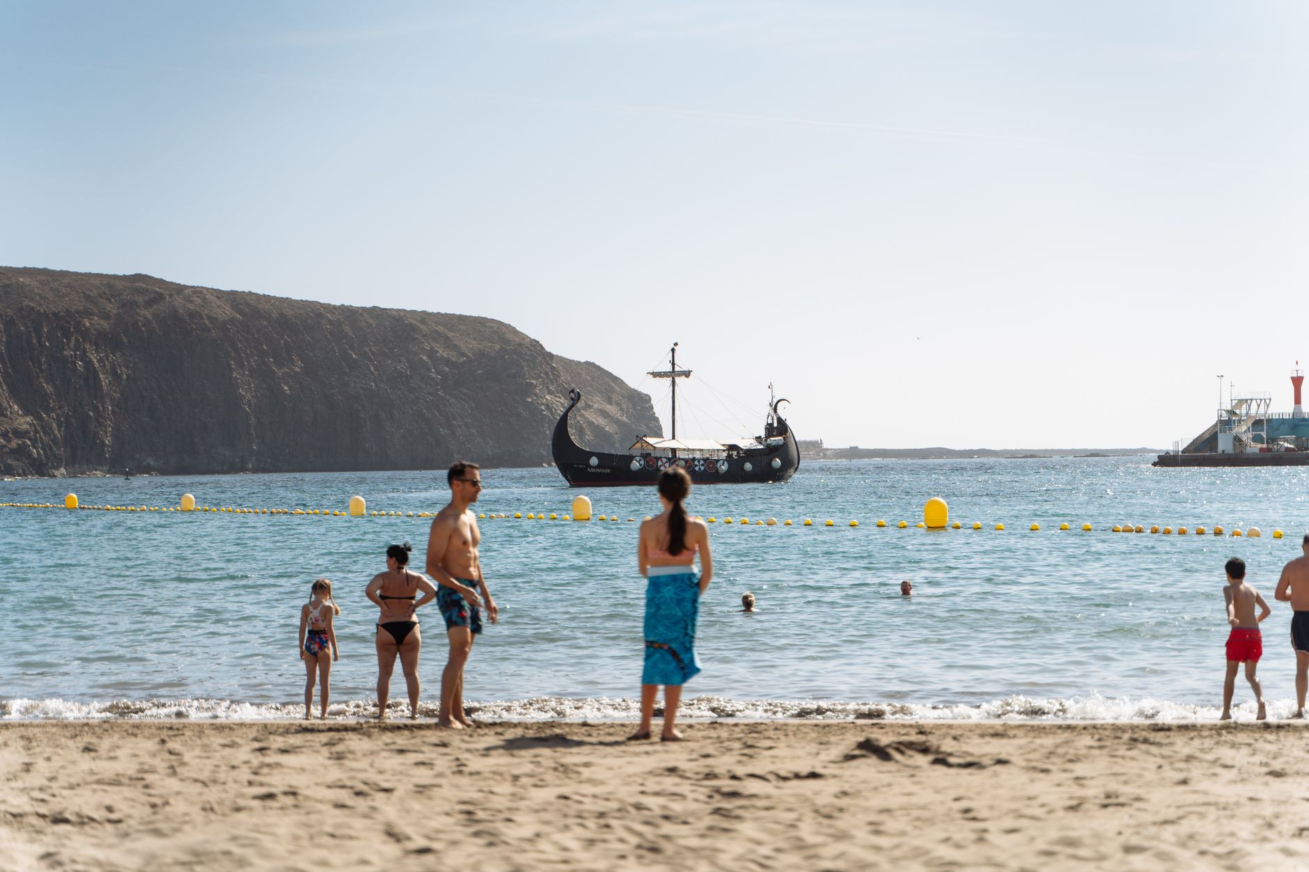
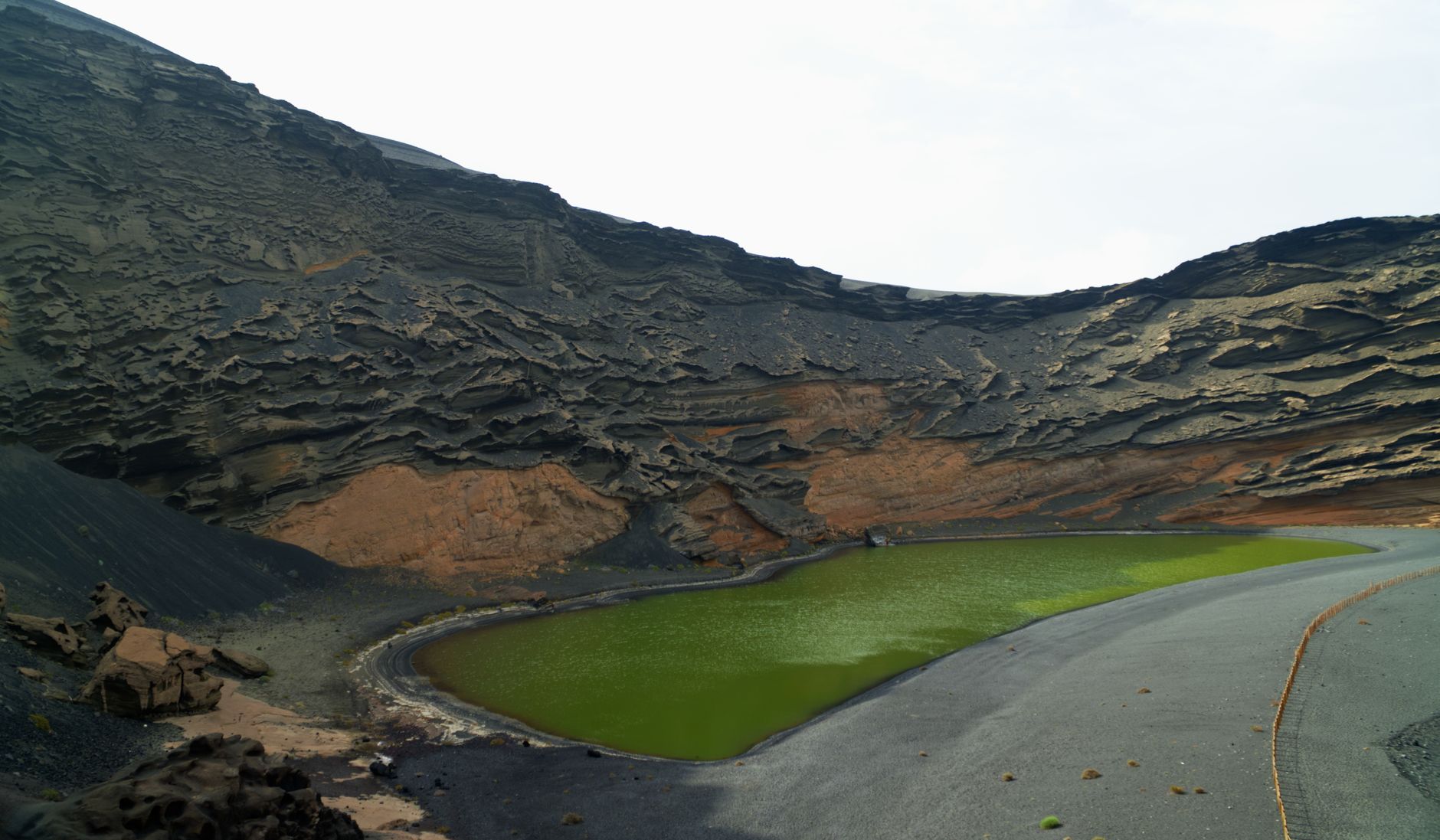
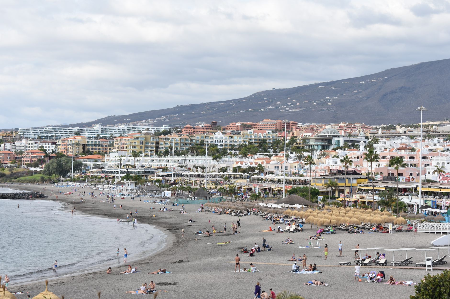
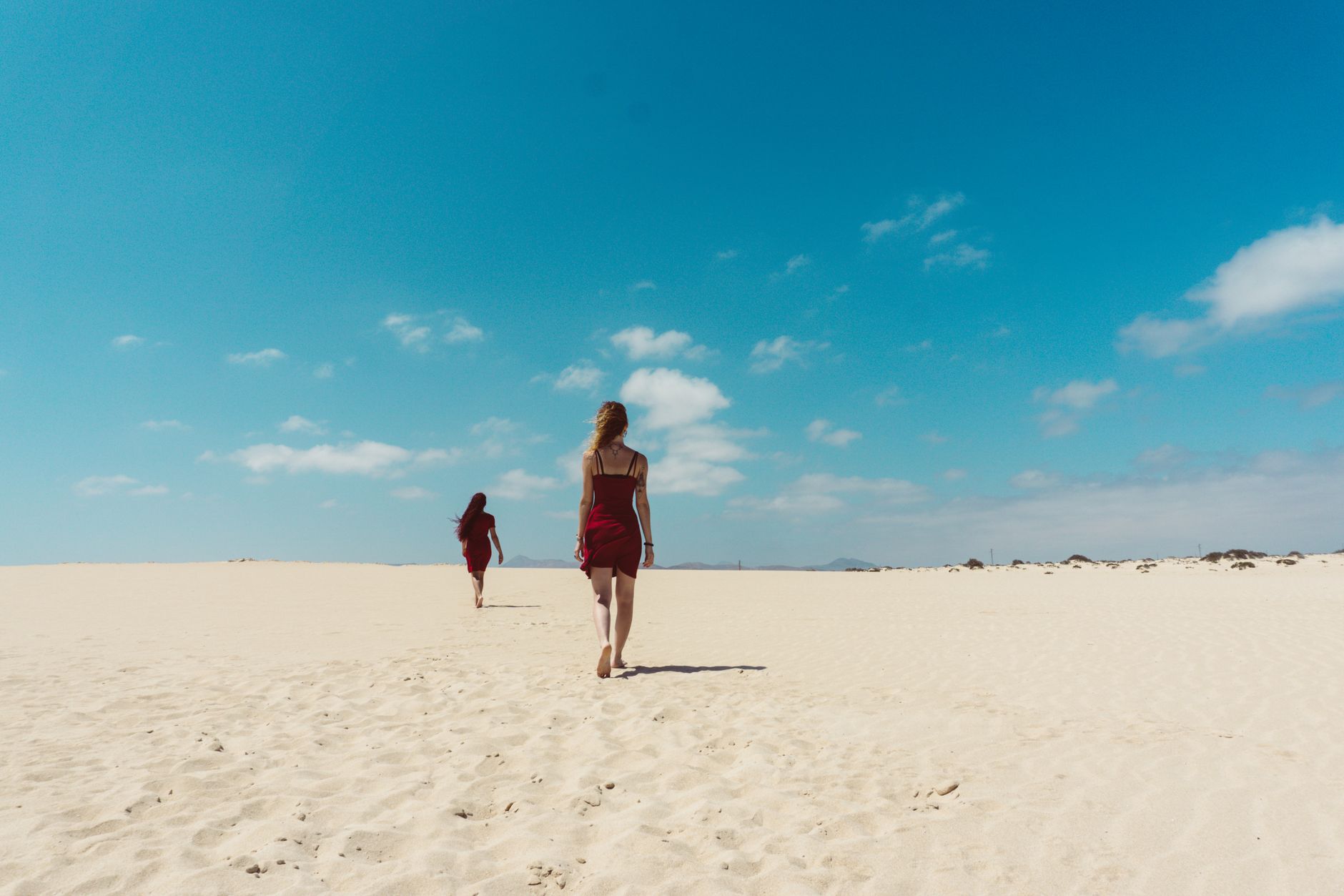
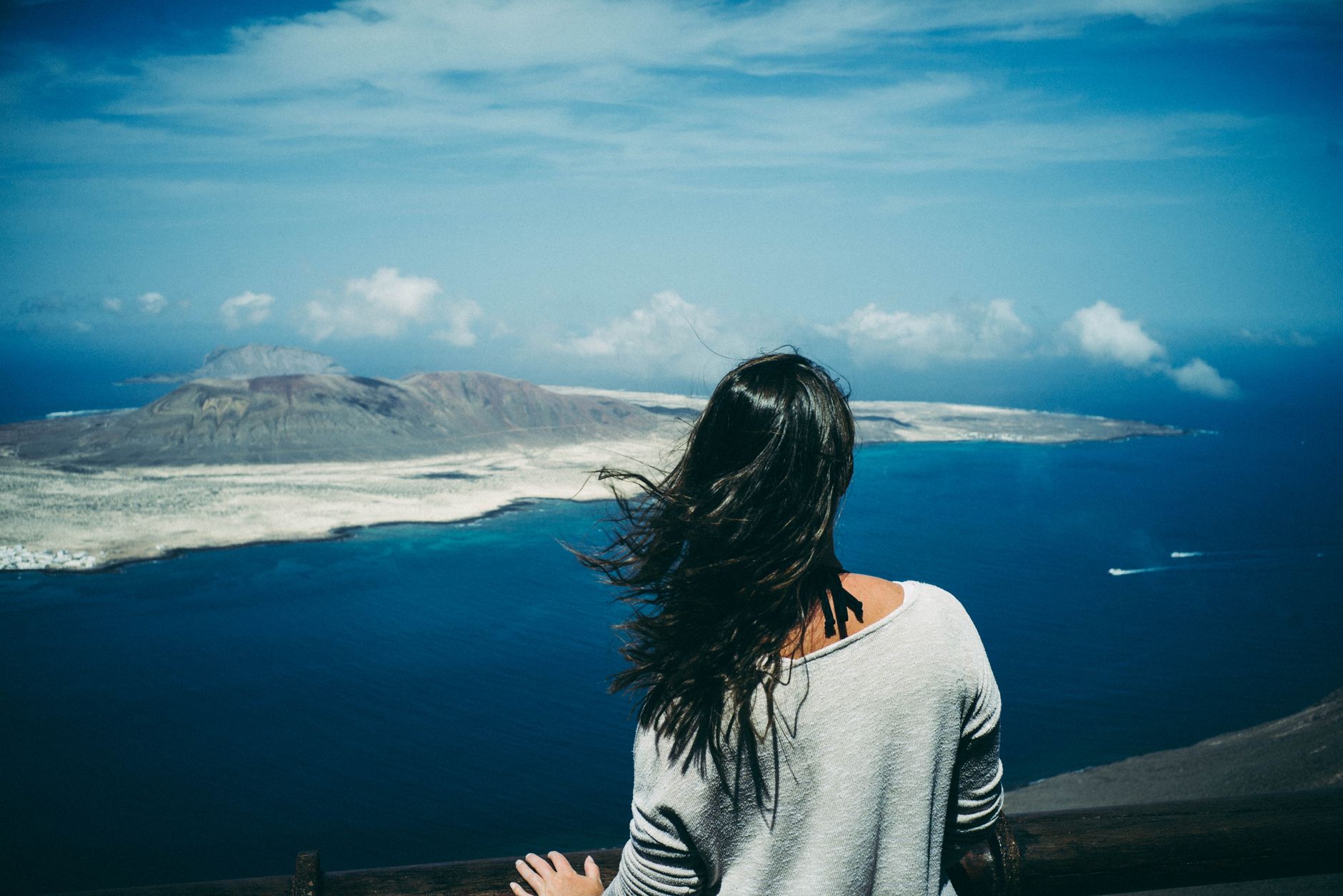
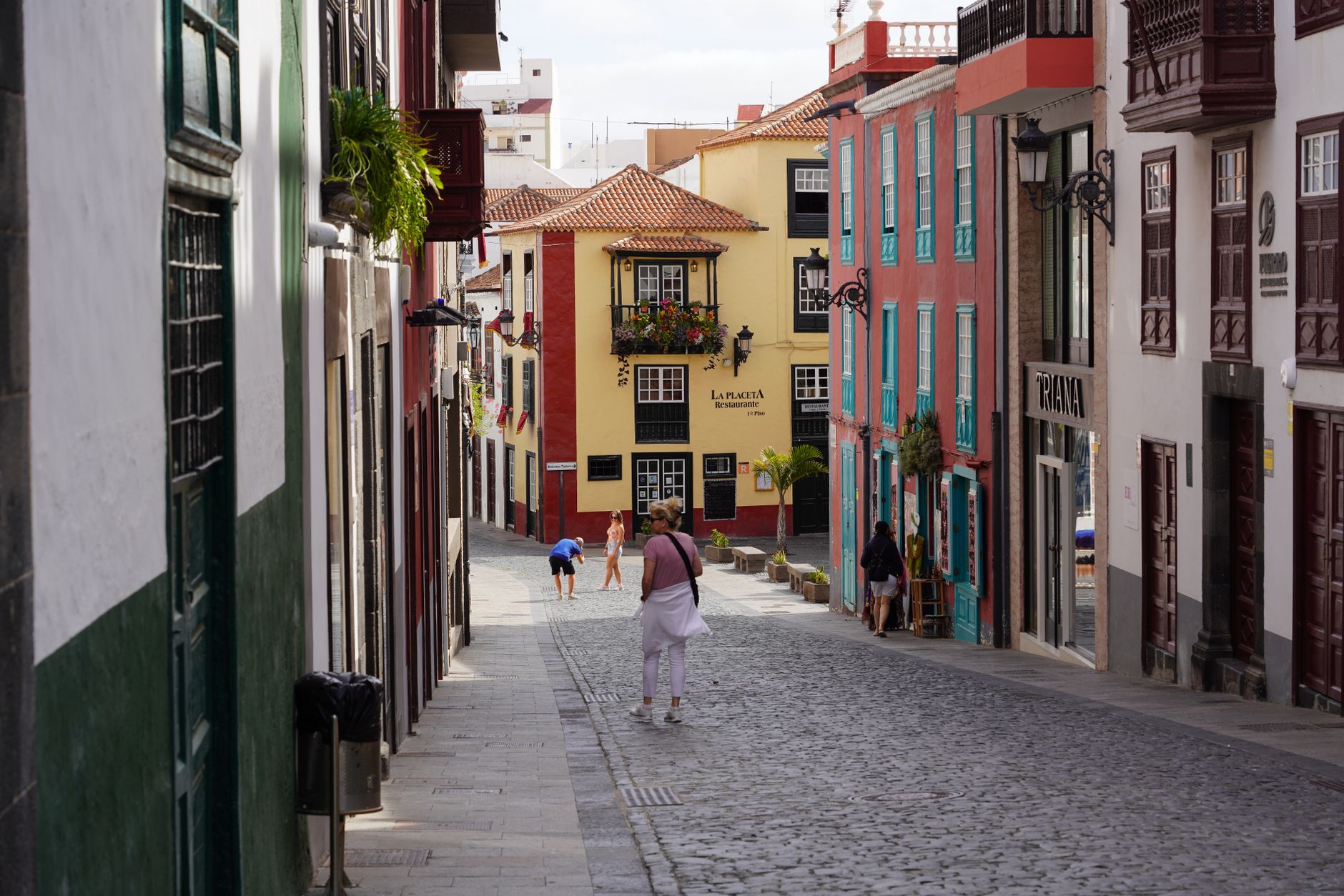
Seven hundred kilometres off the coast of Morocco, the Canary Islands sit closer to Africa than to Madrid — and that geography shapes everything. The light here is different from mainland Spain: sharper, more equatorial, falling on black lava fields, pale sand dunes, and cloud forests within the same afternoon's drive.
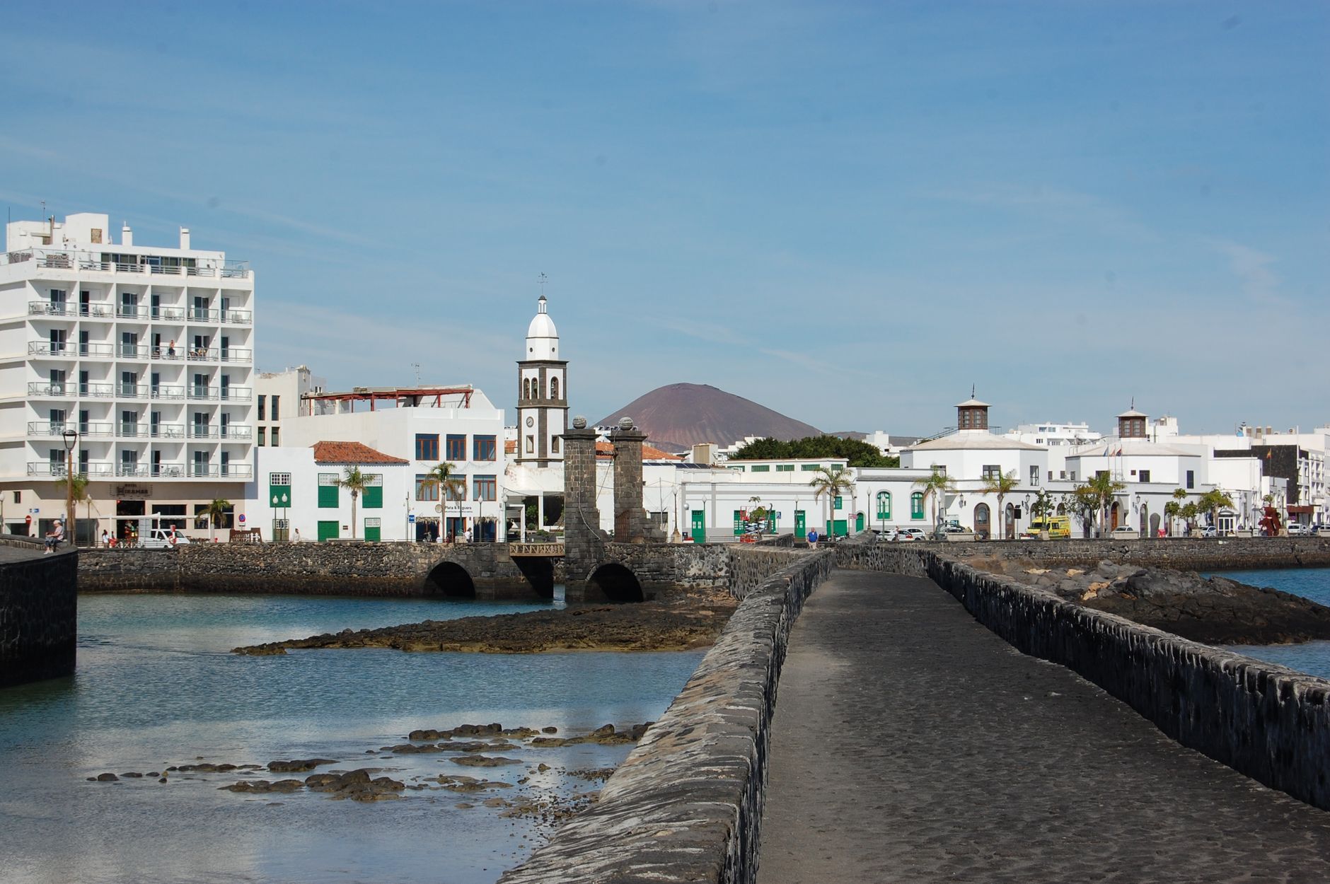
The archipelago runs to eight main islands, each with its own character. Tenerife has Spain's highest peak and a UNESCO-listed colonial city. Lanzarote carries the imprint of artist César Manrique, who spent decades folding architecture into the volcanic rock. Gran Canaria offers a capital with serious contemporary art. You'll need more than one island to understand what the Canaries actually are.
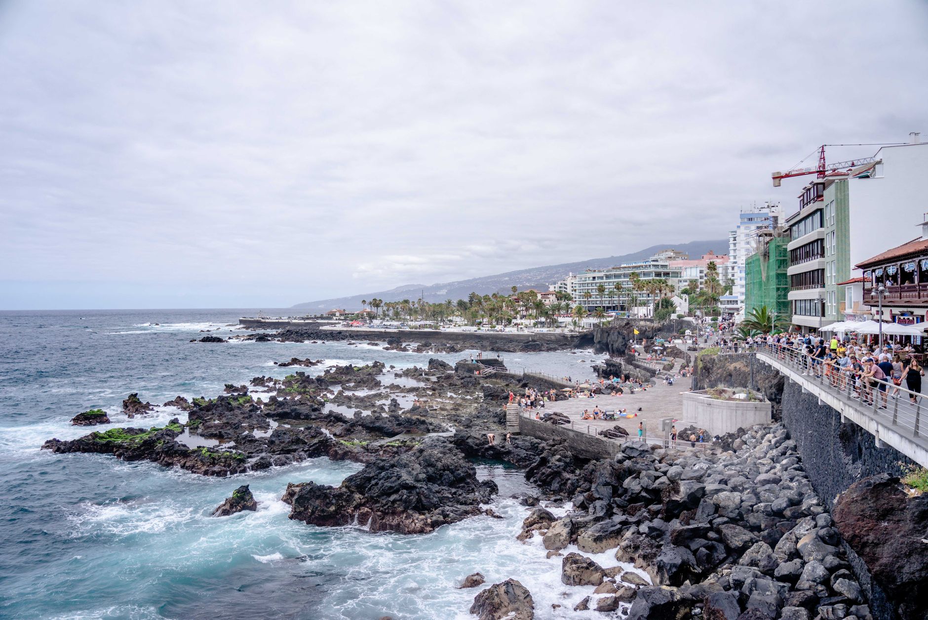
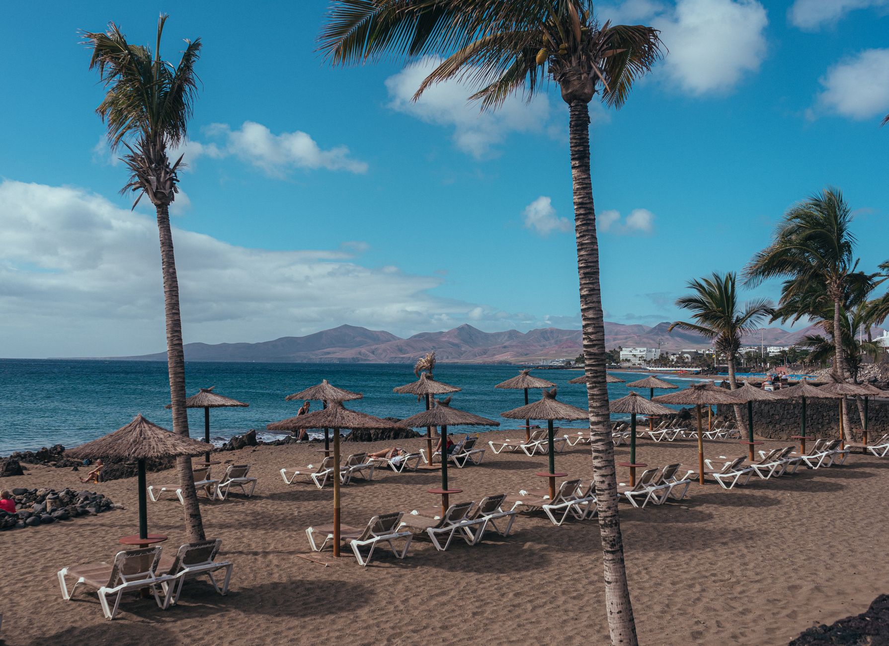
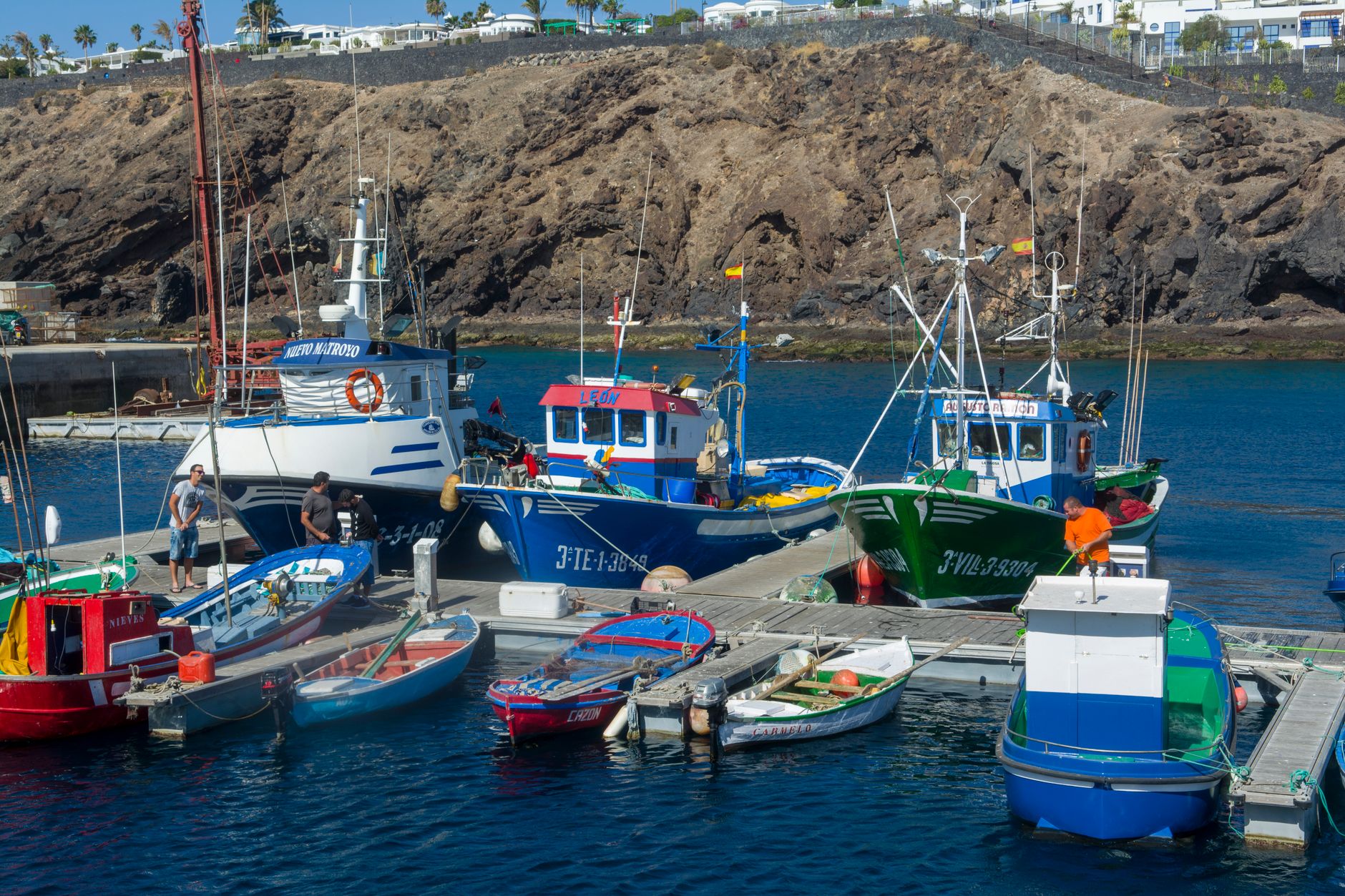
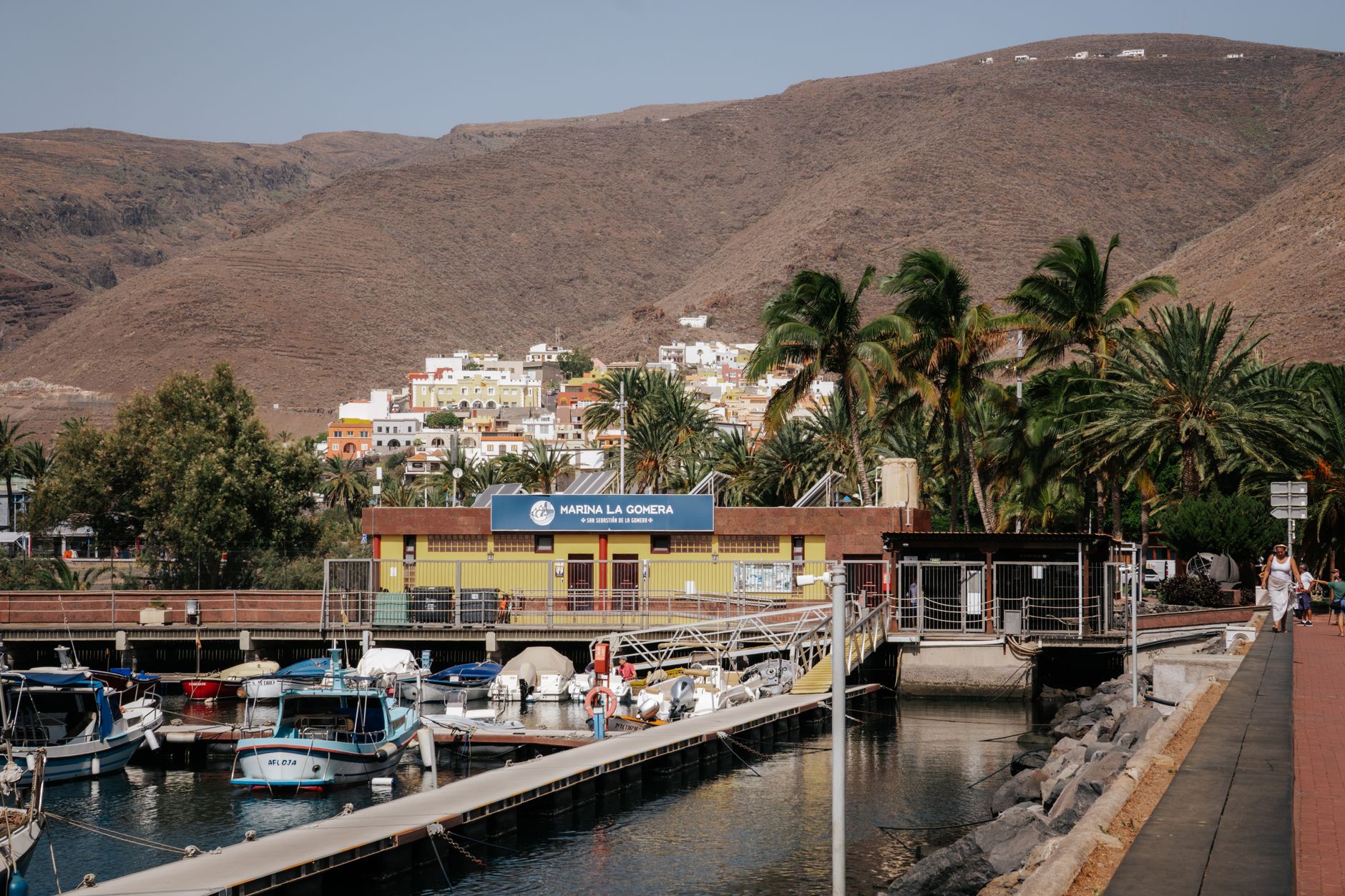
Popular cities in Canary Islands
Experiences you don't want to miss


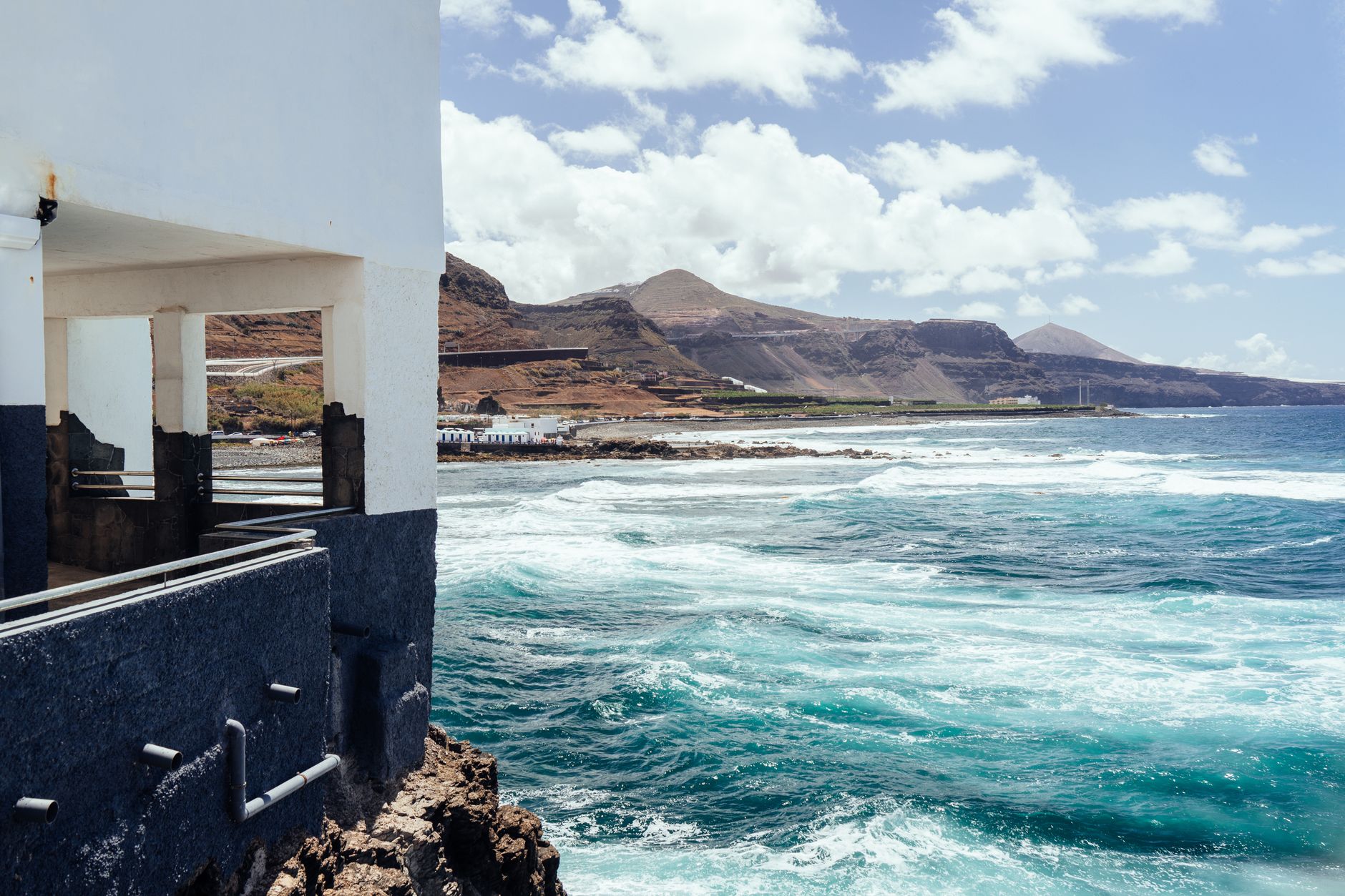

How Canary Islands came to be
The first people to reach these islands arrived roughly at the turn of the first millennium BC. The Guanches — Berber in origin — built a society across the archipelago that lasted until European conquest. That conquest came in stages: Jean de Bethencourt, a Norman nobleman, took Lanzarote, Fuerteventura and El Hierro between 1402 and 1405. The Spanish crown followed through, with Alonso Fernández de Lugo completing the conquest of La Palma and then Tenerife on 25 July 1496.
The Treaty of Alcáçovas in 1479 had already formalised Spanish sovereignty, positioning the islands as a staging post between Europe and the Americas. Centuries later, on 10 August 1982, the Canary Islands became an autonomous community of Spain.
Who and what shaped it
People who shaped it
Landmark buildings
See Canary Islands in motion
Plan your visit
On the map
When to go
The subtropical climate means warm, dry conditions year-round — coastal temperatures rarely drop below 18°C even in January, and summer highs sit around 27°C. October is the wettest month, though rainfall across the islands is modest; the eastern islands (Lanzarote, Fuerteventura) are noticeably drier and more desert-like than the greener western ones.
Right now
↡ Cities
No places match these filters.
Background & history adapted from Wikipedia (CC BY-SA) · specs from Wikidata (CC0) · weather from Open-Meteo · map data © OpenStreetMap contributors · photos from Wikimedia Commons / Unsplash with per-image credit. No third-party reviews or social posts reproduced.