
Tías

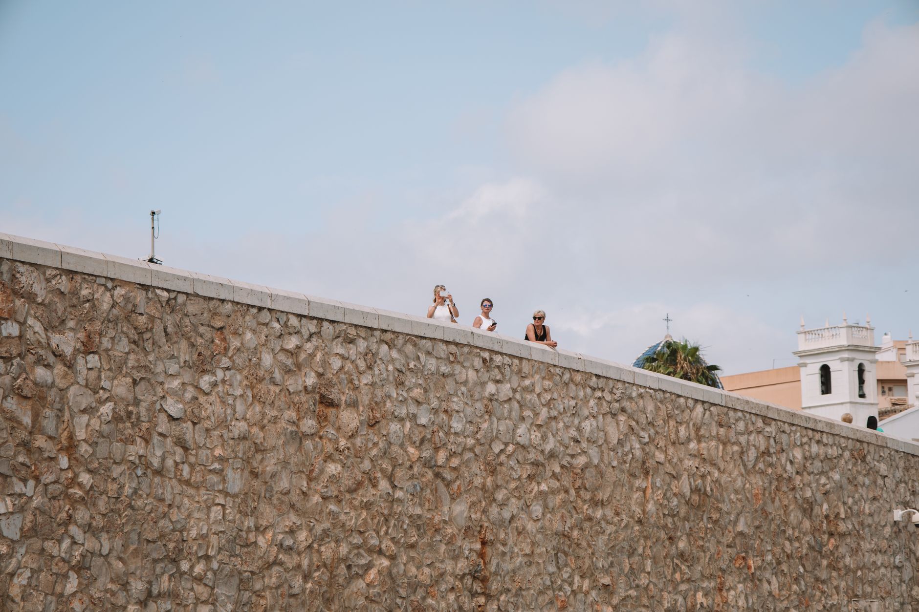
Most people drive straight through Tías on the LZ2, eyes fixed on Puerto del Carmen further down the coast. That's their loss. The municipal capital sits on a hillside 4 km from the sea, its white houses stacked against a landscape that still carries the memory of fire — six years of volcanic eruptions in the 18th century reshaped this corner of Lanzarote permanently, and the ash-black earth around town tells that story without words.
Tías is where José Saramago chose to spend the last eighteen years of his life, and where Lanzarote's wine country begins in earnest. The town itself is quiet, administrative, real — a place that earns its place on the map through accumulation rather than spectacle.
💛 What travellers fall for
People who come back tend to time a morning around the Saramago house-museum before the coach tours arrive, then follow the road a few kilometres toward La Geria for a glass of Malvasía straight from one of the crater-side wineries. The volcanic landscape out there is unlike anything else on the island.
Experiences you don't want to miss


Deals in Tías
Book directly at the provider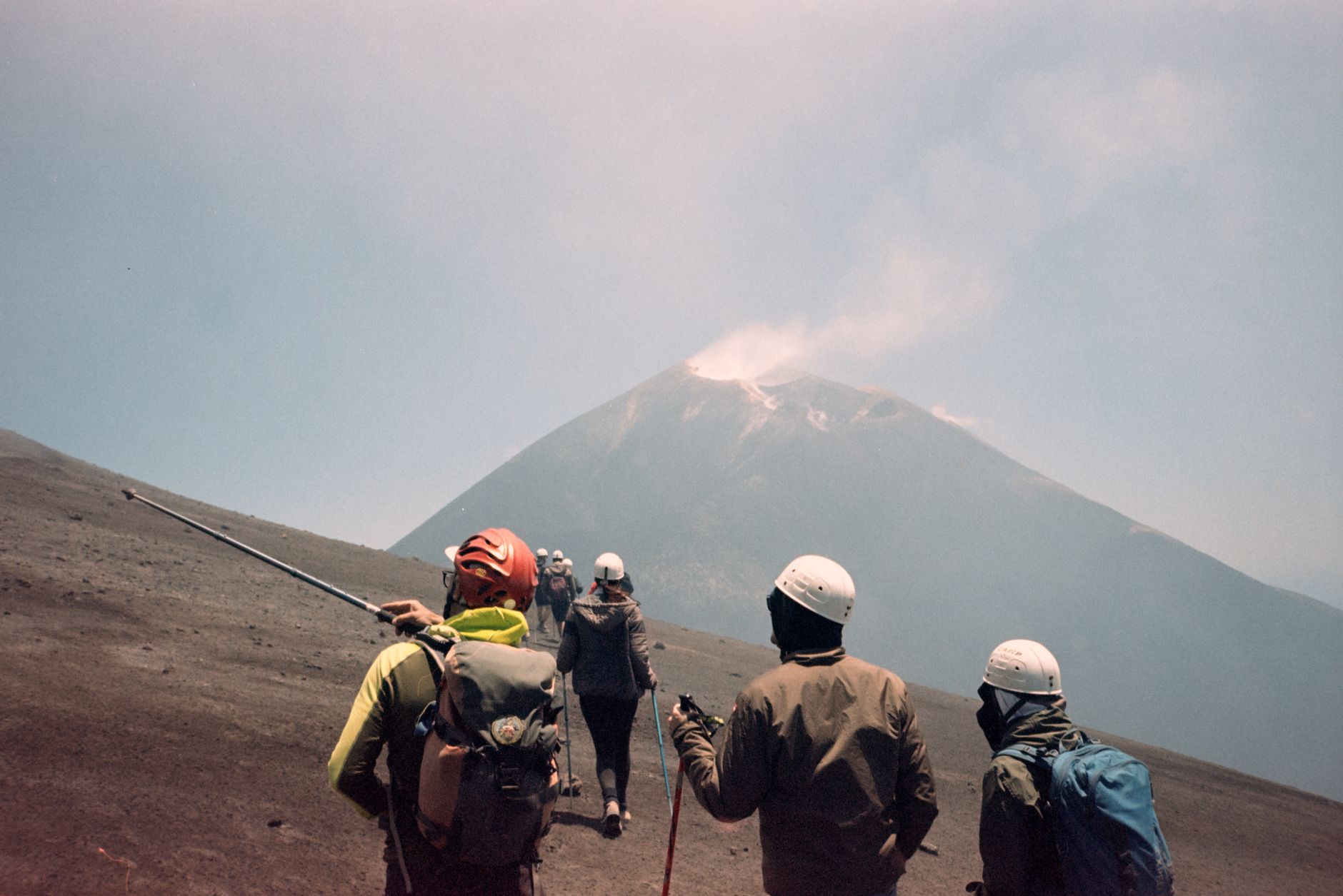


How Tías came to be
The settlement now called Tías appears in records as early as 1493, named Las Tías de Fajardo by Governor Alonso Fajardo after his two aunts, Doñas Francisca and Hernan. Before Spanish colonisation, the area was home to a pre-Hispanic Guanche community. The town grew slowly until catastrophe accelerated it: between 1730 and 1736, volcanic eruptions destroyed nine villages and buried the island's most fertile land, sending displaced families toward Tías in numbers.
The parish of Nuestra Señora de Candelaria — attempts at a church here date to 1618 — was formally erected in 1796, the same era in which Tías gained administrative independence from Teguise, on 5 July 1799. The Church of Nuestra Señora de la Candelaria, built to replace the original buried by lava, was declared a Place of Cultural Interest in 1999. A later turning point came in the late 1970s, when Puerto del Carmen — entirely within the Tías municipality — became Lanzarote's dominant resort, reshaping the town's economy around tourism revenue.
Who and what shaped it
People who shaped it
Landmark buildings
See Tías in motion
Plan your visit
On the map
When to go
Tías has a hot desert climate with barely 123 mm of rain across an entire year, most of it falling on a handful of days between December and February. Daytime temperatures range from around 20°C in January to 28°C at the height of August, with long sunny days from June through October — meaning almost any month is workable, though the shoulder months of April, May and October offer warmth without the peak-summer heat.
Right now
Background & history adapted from Wikipedia (CC BY-SA) · specs from Wikidata (CC0) · weather from Open-Meteo · map data © OpenStreetMap contributors · photos from Wikimedia Commons / Unsplash with per-image credit. No third-party reviews or social posts reproduced.