
Valverde
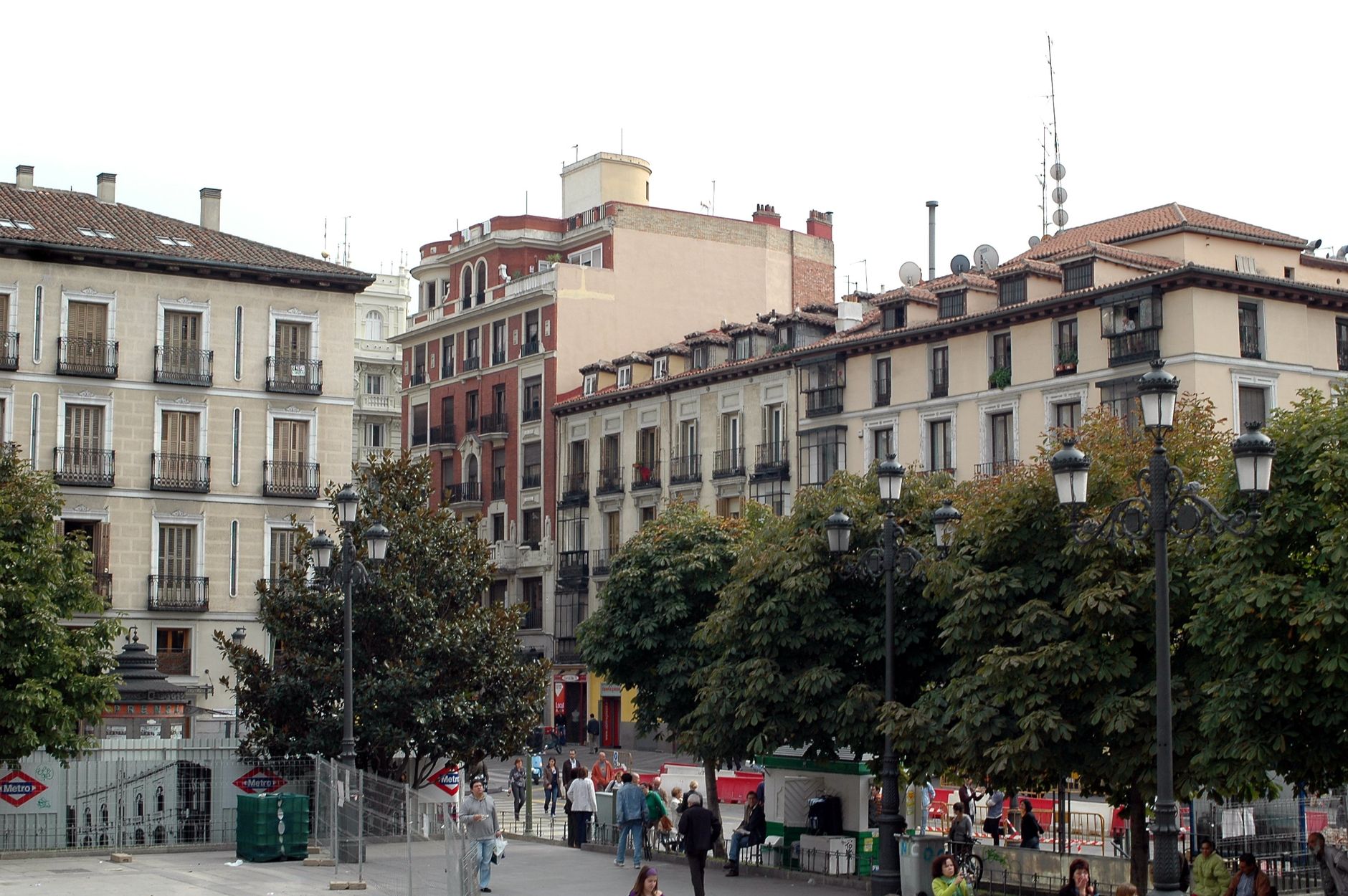
Valverde sits at around 600 metres above sea level, inland on the smallest of the Canary Islands — a location chosen deliberately, in the 15th century, to keep it out of sight of pirates working the Atlantic coast. That founding logic still shapes the place: quiet, self-possessed, oriented toward the island rather than the sea. A town of roughly 5,000 people divided into three neighbourhoods — Tesine, La Calle, El Cabo — where the church and the town hall face each other across a square, and the trade winds sometimes push mist through the streets.
This is the capital of El Hierro, and it functions as one: government offices, the main market, the bus routes that thread out to the rest of the island. Come here to understand how the island actually works, not to perform a holiday.
💛 What travellers fall for
People who come back to El Hierro tend to time a morning in Valverde around the Church of Santa María de la Concepción — specifically for the Mudéjar coffered ceiling, which rewards a slow look upward. Then the short drive north toward Guarazoca for the César Manrique-designed La Peña viewpoint, before the afternoon siesta closes everything down.
Experiences you don't want to miss




Deals in Valverde
Book directly at the provider

How Valverde came to be
Valverde was founded in the late 15th century as the Canary Islands came under Spanish control, built inland from the start to reduce its visibility from the sea. The 1553 attack by French corsairs — which struck the island hard — confirmed that the precaution had been well-reasoned. For centuries the settlement answered politically to the Counts of La Gomera, until the Cádiz Constitution of 1812 granted it official municipality status.
The 18th century brought the major reconstruction of the Church of Santa María de la Concepción, completed in 1767. The town hall opposite it went up in the 1930s to a design by architect Antonio Pintor. In 1899 a fire destroyed the city council building and, with it, the historical archives — a loss that left the early record of the place thinner than it might otherwise have been.
Who and what shaped it
People who shaped it
Landmark buildings
See Valverde in motion
Plan your visit
On the map
When to go
Temperatures stay mild year-round, ranging from around 18°C in February to just over 24°C in September, with very little rain — the annual total is roughly 127 mm, and the months from May through August see almost none at all. The altitude and northeast trade winds mean mist can move through the streets even on dry days, which keeps the light interesting and the heat manageable.
Right now
Background & history adapted from Wikipedia (CC BY-SA) · specs from Wikidata (CC0) · weather from Open-Meteo · map data © OpenStreetMap contributors · photos from Wikimedia Commons / Unsplash with per-image credit. No third-party reviews or social posts reproduced.