
Adeje
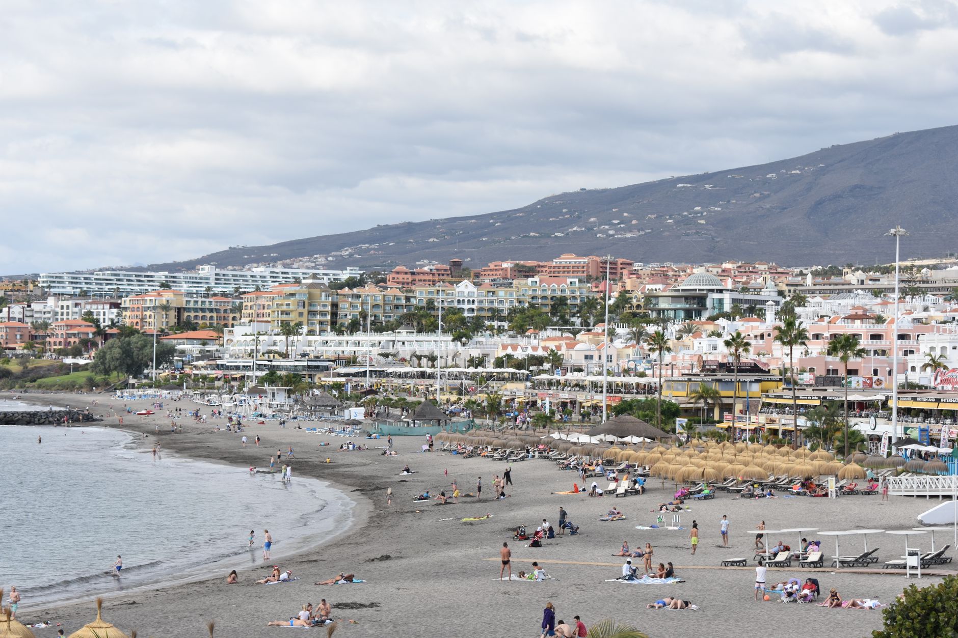
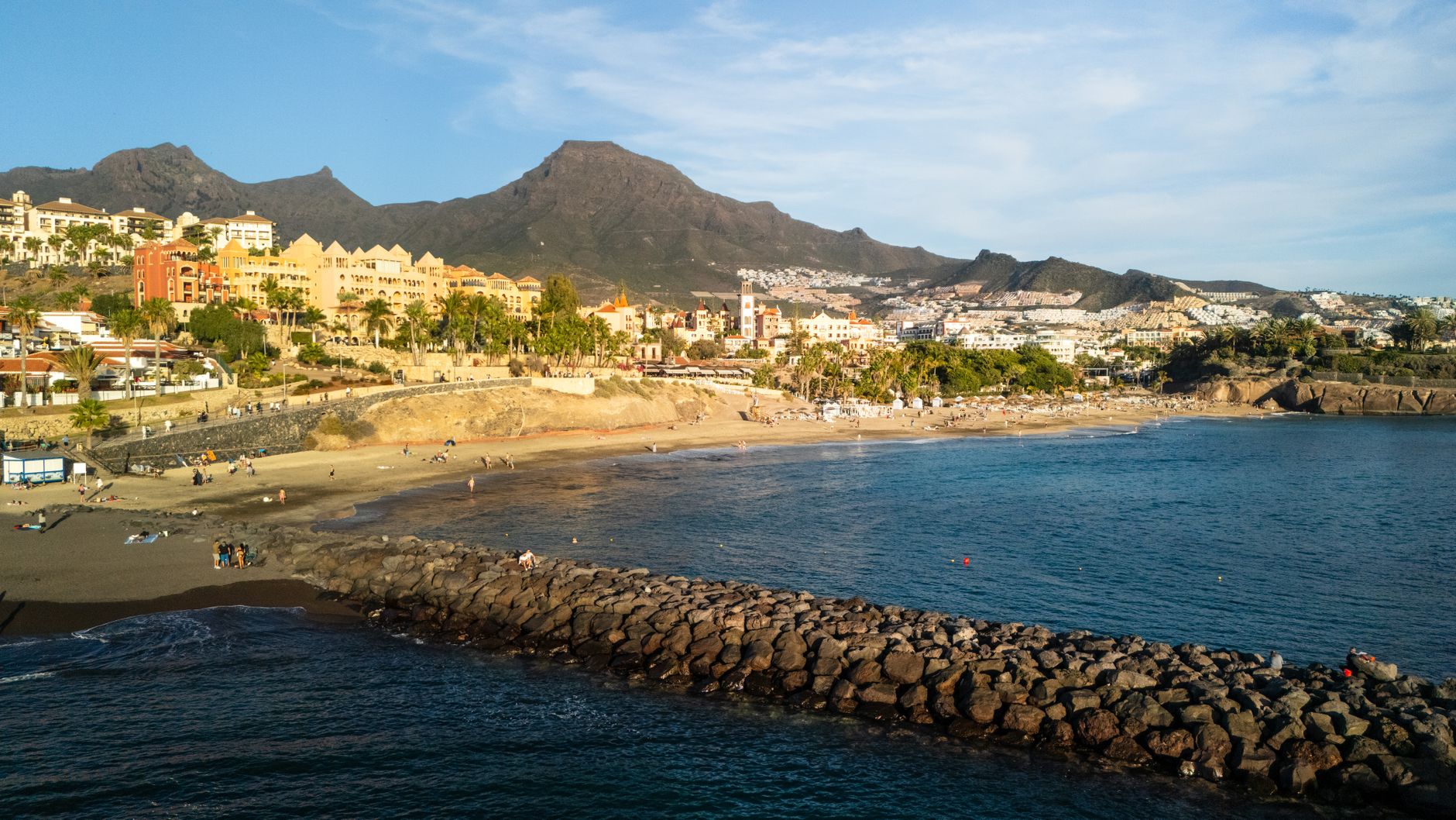
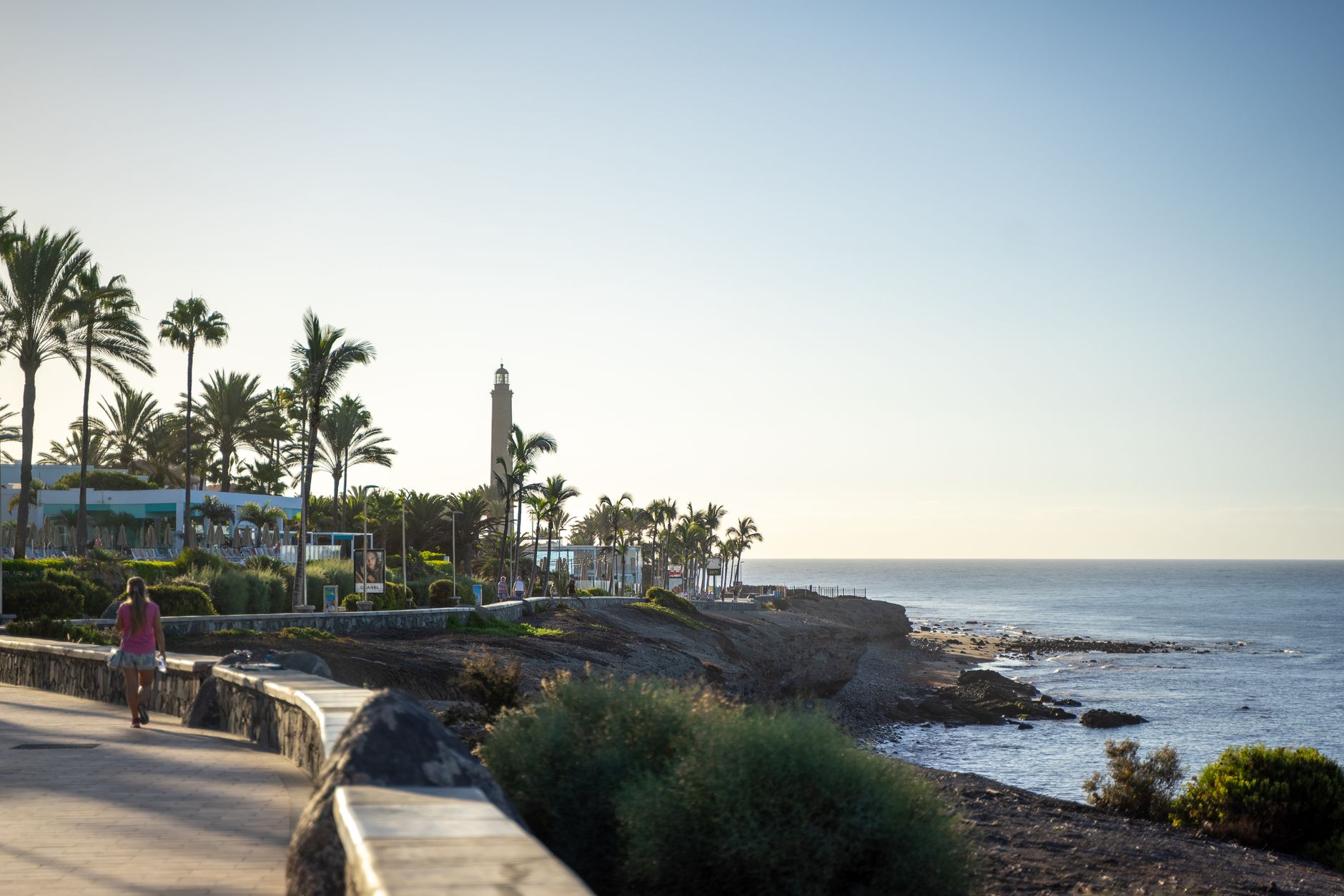
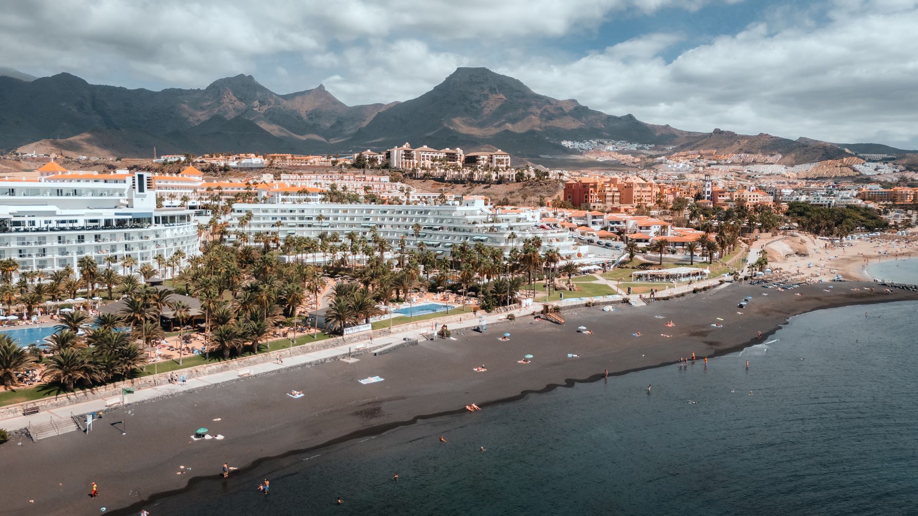
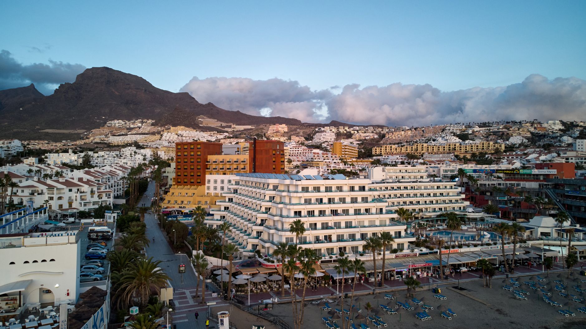
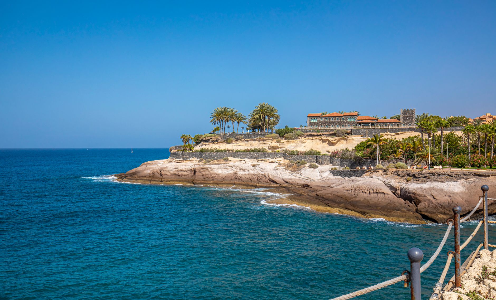
Adeje sits a few kilometres inland from Tenerife's sun-bleached south coast, and the contrast is immediate: where the shore runs wide and loud, the old town moves slowly around a plaza shaded by mature trees. The name itself is Guanche — the language of the island's pre-conquest people — and it means 'mountain range', which tells you something about how this place has always oriented itself: toward the rock, not the sea.
Behind the town, the Barranco del Infierno cuts a deep gorge into the hillside, its walls rising so steeply that the trail stays cool even in summer. The municipality stretches from that ravine all the way down to the Costa Adeje waterfront, covering terrain that shifts from banana plantation to volcanic crater to beach in the space of a short drive.
💛 What travellers fall for
People who come back tend to arrive early at the Barranco del Infierno trailhead — the 300-person daily cap fills faster than you'd expect in high season. They also make a point of walking to Casa Fuerte on a weekday morning, when the caretaker is often willing to linger and explain the building's stranger corners.
Experiences you don't want to miss


Deals in Adeje
Book directly at the provider
How Adeje came to be
Before the Spanish arrived in 1494, Adeje was the seat of one of nine Guanche kingdoms on Tenerife — the Menceyato of Adeje — whose ruler, Tinerfe the Great, is remembered as the last mencey to hold the whole island under a single authority. Spanish incorporation came in 1496, and within a decade the new settlers had established sugar mills, or ingenios, in the valley. The economy turned on cane, then on wine and cereals.
In 1556, Pedro de Ponte began constructing Casa Fuerte — a fortified compound that served for three centuries as the political and commercial engine of the town. His family, the Marquises of Adeje, shaped the place: in 1679, Juan Bautista de Ponte Fonte y Pagés founded the Convent of Our Lady of Guadalupe and St. Paul, though secularisation in 1835 stripped most of it away, leaving only the church. Cochineal dye briefly made the municipality prosperous in the mid-19th century before synthetic dyes ended the trade. Bananas followed, and then, from the 1960s onward, tourism reshaped the coastline entirely.
Who and what shaped it
People who shaped it
Landmark buildings
See Adeje in motion
Plan your visit
On the map
When to go
The south-facing hillside means Adeje town is reliably warm and dry year-round, with summer temperatures in the low-to-mid 30s Celsius and winters rarely dropping below 16°C. The Barranco del Infierno stays noticeably cooler than the surrounding landscape in any season, so bring a layer even in August.
Right now
Background & history adapted from Wikipedia (CC BY-SA) · specs from Wikidata (CC0) · weather from Open-Meteo · map data © OpenStreetMap contributors · photos from Wikimedia Commons / Unsplash with per-image credit. No third-party reviews or social posts reproduced.