
Amazon Rainforest
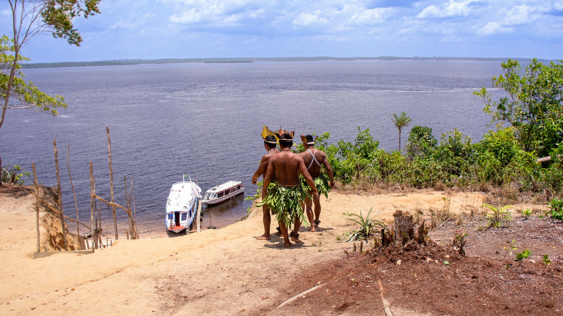
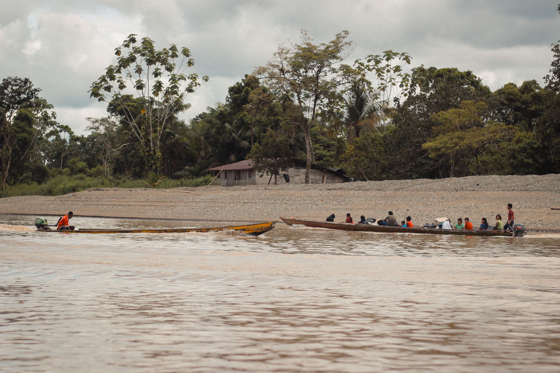
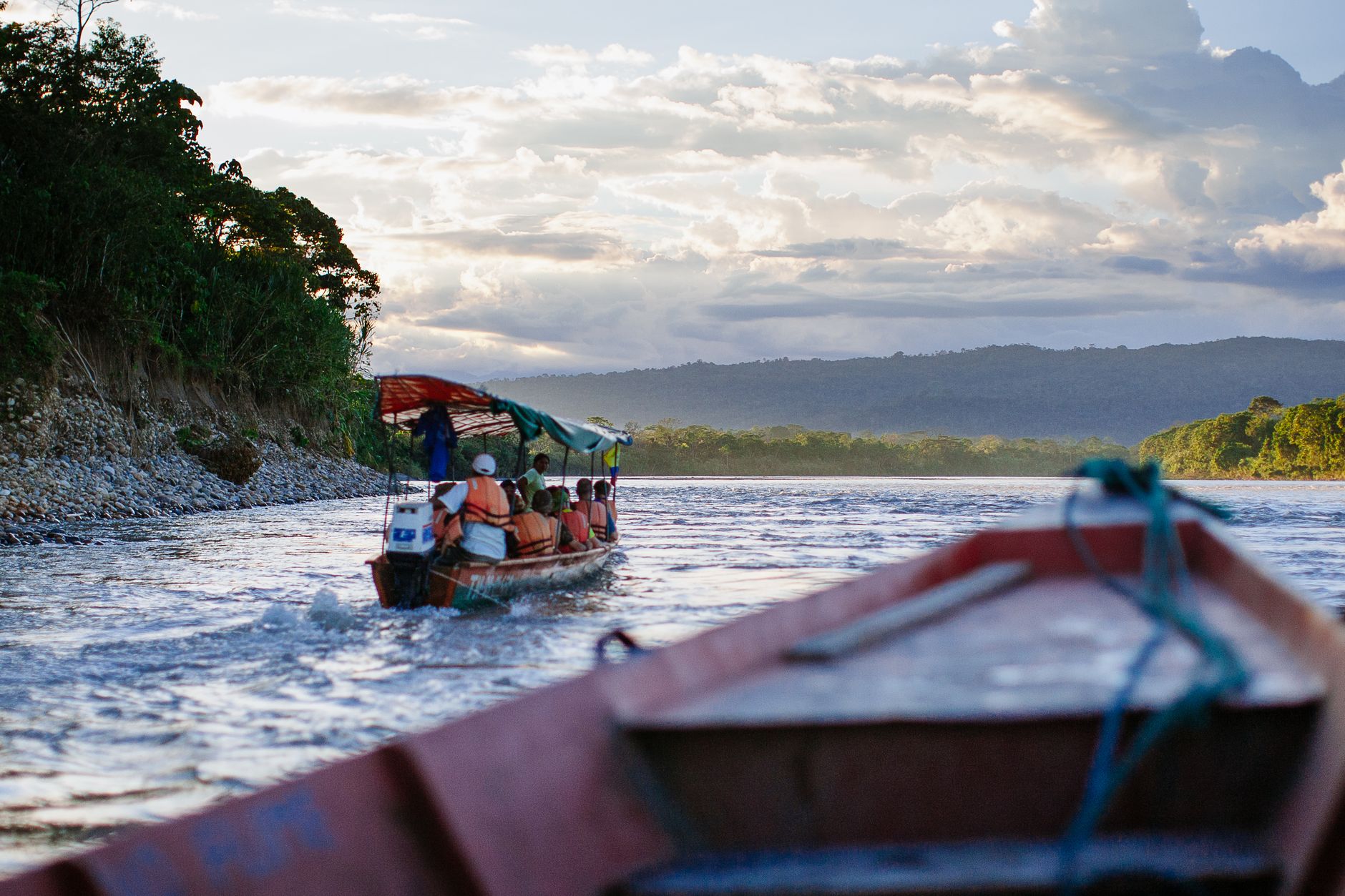
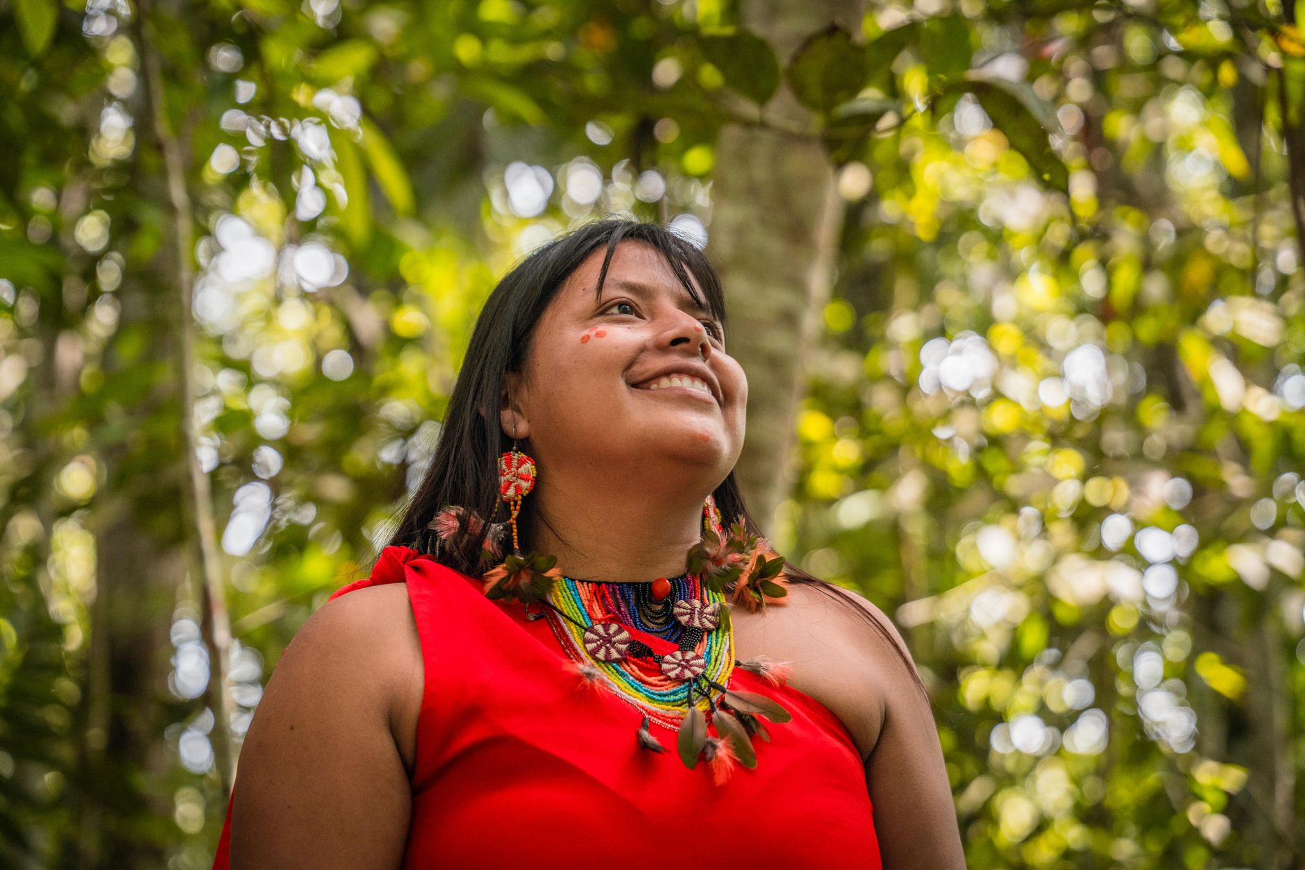
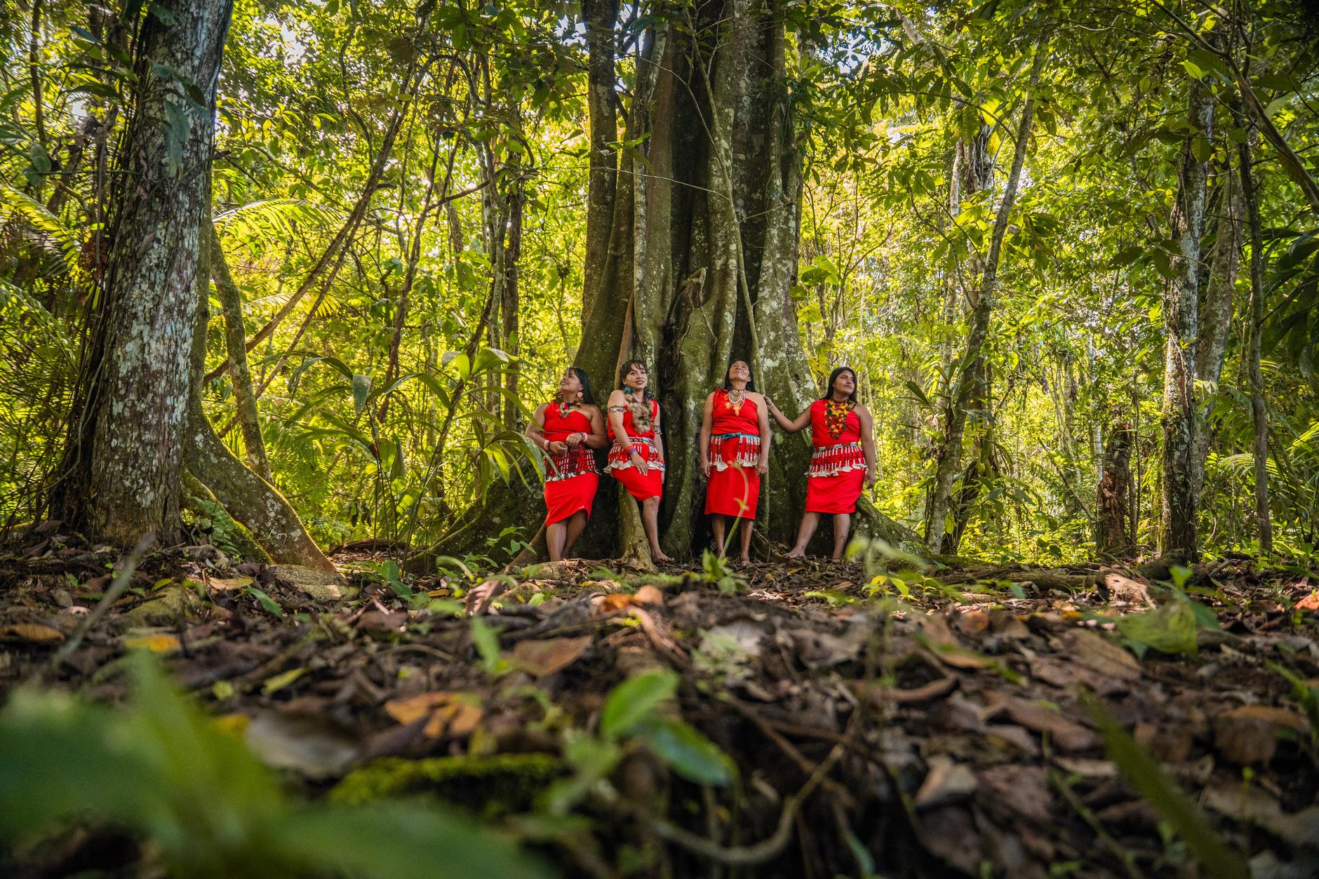
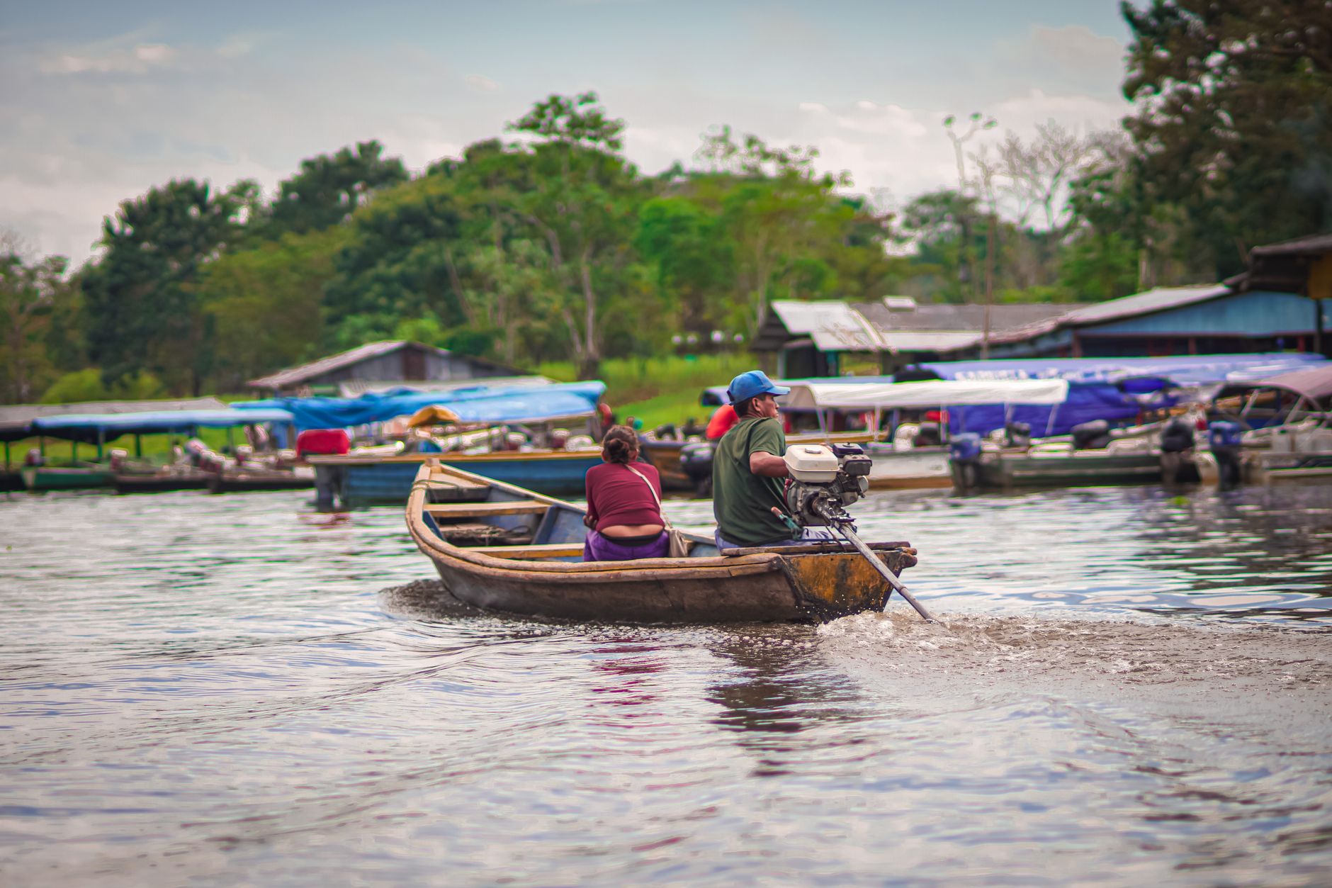
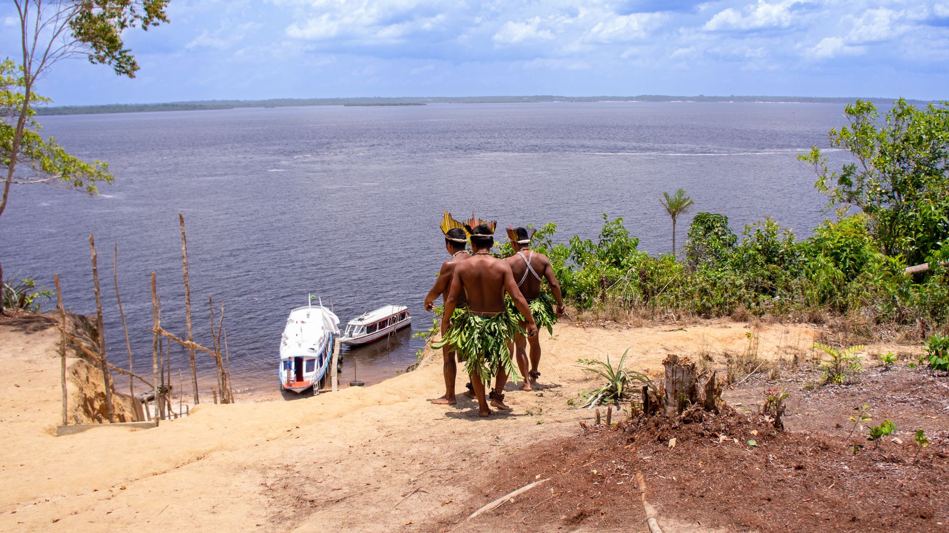
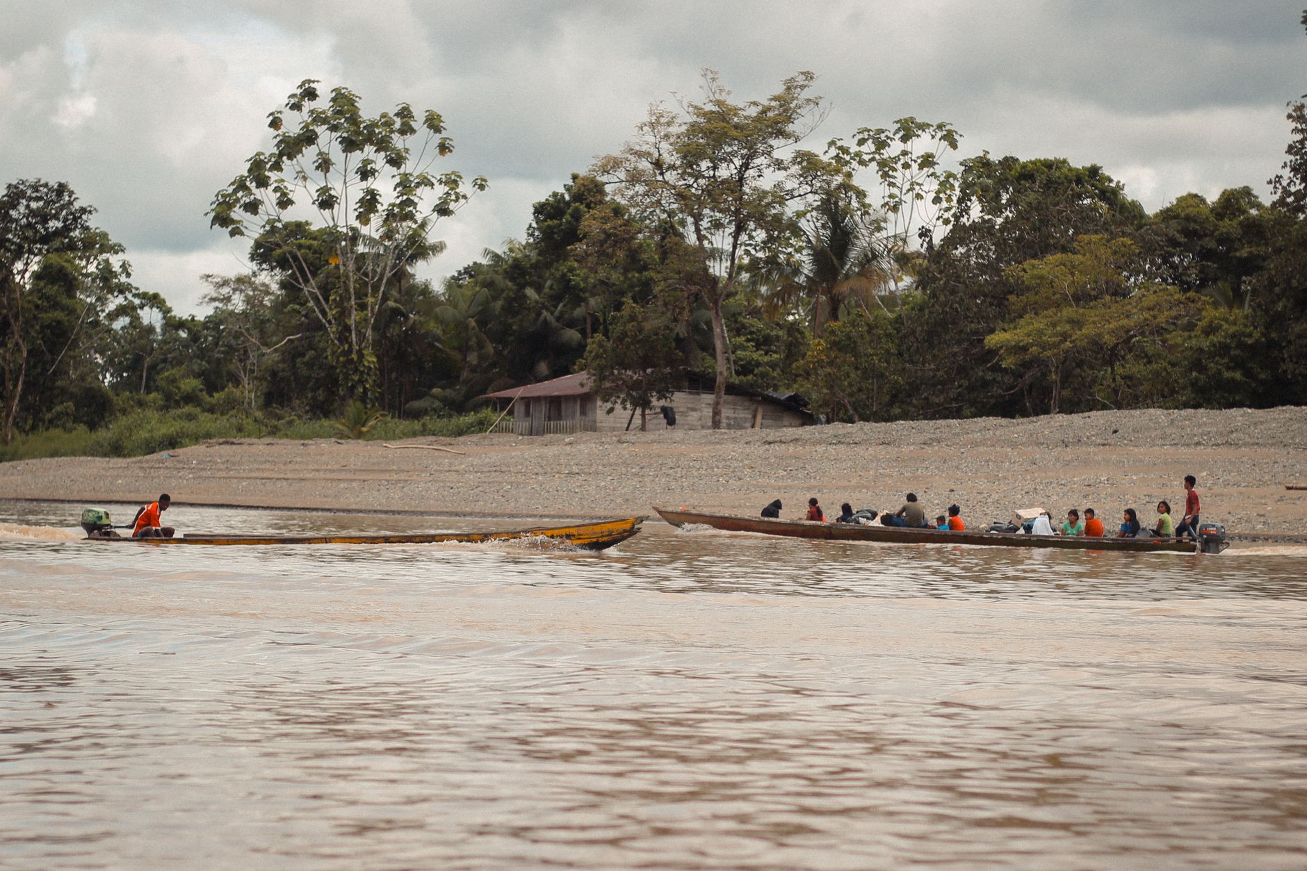
The Amazon is, first and foremost, a sound. Before you see anything, you hear it — the layered percussion of insects, frogs, and birds operating on frequencies that overlap and contradict each other in ways no recording quite captures. Covering roughly 5.5 million square kilometres across nine countries, this is the largest tropical rainforest on earth, and its scale only becomes real to you on the river, where the canopy walls close in on both sides and the water turns the colour of dark tea.
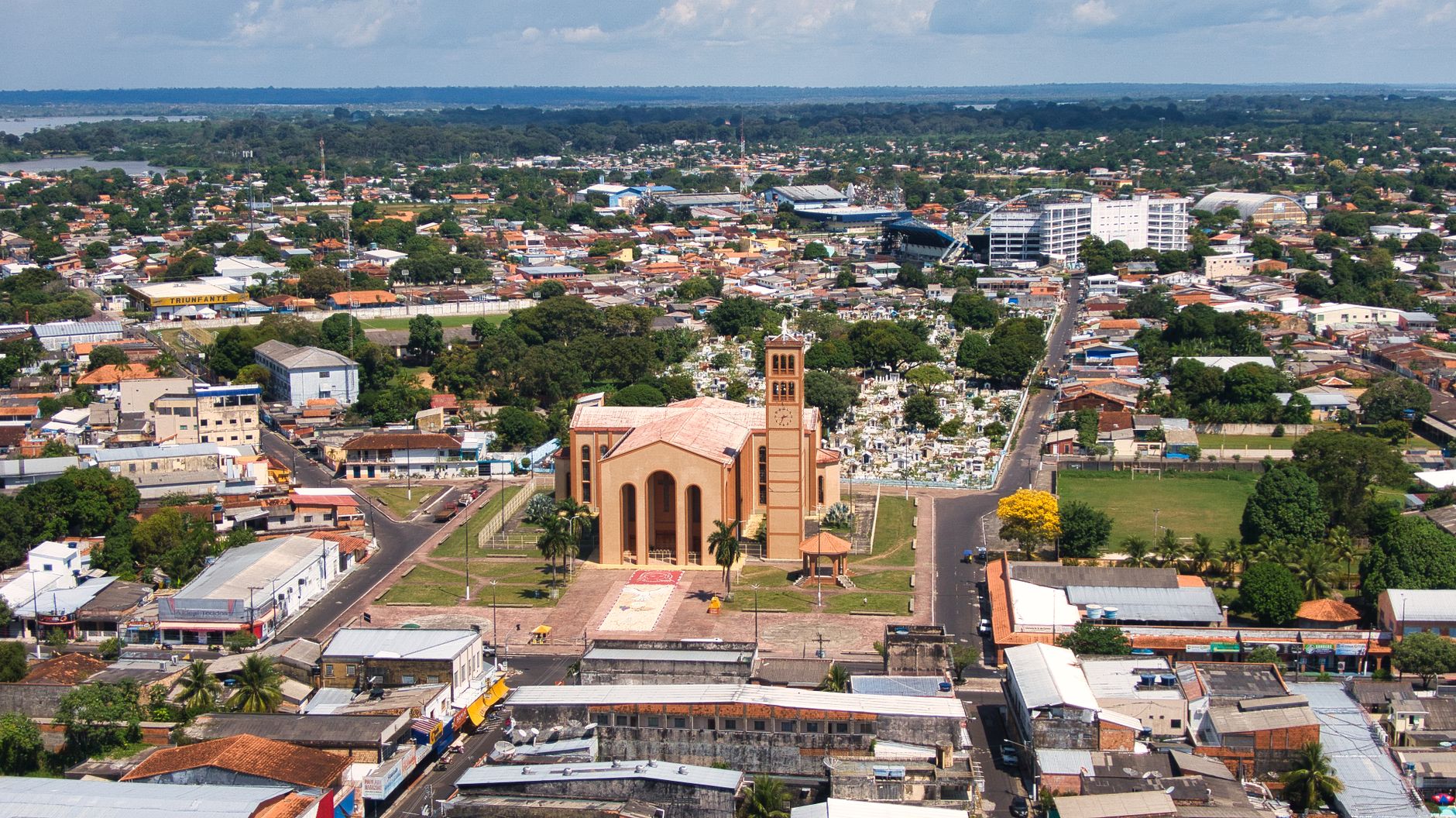
Most people enter through one of three gateway cities: Manaus in Brazil, Iquitos in Peru, or Coca in Ecuador. Each opens onto a different face of the same forest.
How Amazon Rainforest came to be
The Amazon basin took its present shape slowly. When the Andes rose around 15 million years ago, they blocked the westward flow of water, creating a vast inland sea. About 10 million years later, the water found a path east through sandstone, and the forest as we know it began to form. People arrived long before European explorers — settlements date back roughly 12,000 years, and by 5,500 years ago, communities in what is now Rondônia were producing terra preta, a dark, engineered soil that still covers an estimated 2% of the biome.
Spanish navigator Vicente Yáñez Pinzón reached the river's mouth in 1500. Francisco de Orellana became the first European to navigate its full length in 1542, having set out from Quito in search of El Dorado. Three centuries later, naturalists Henry Walter Bates and Alfred Russel Wallace arrived within the same year, 1848; Bates would spend eleven years collecting over 14,000 species, 8,000 of them new to science. The forest's modern crisis began in the 1970s, when Brazil accelerated agricultural colonisation — within two decades, a fifth of the virgin canopy was gone.
Who and what shaped it
People who shaped it
See Amazon Rainforest in motion
Plan your visit
On the map
When to go
The Amazon runs hot and humid every day of the year, with daily highs between 31–33°C (88–91°F) and overnight lows rarely dropping below 22°C. The wet season (roughly November to May) brings heavier rains and higher river levels that open up flooded forest by canoe; the dry season offers easier trekking and more concentrated wildlife around shrinking water sources — both have genuine advantages.
Right now
↡ Cities
Background & history adapted from Wikipedia (CC BY-SA) · specs from Wikidata (CC0) · weather from Open-Meteo · map data © OpenStreetMap contributors · photos from Wikimedia Commons / Unsplash with per-image credit. No third-party reviews or social posts reproduced.