
Puerto Maldonado
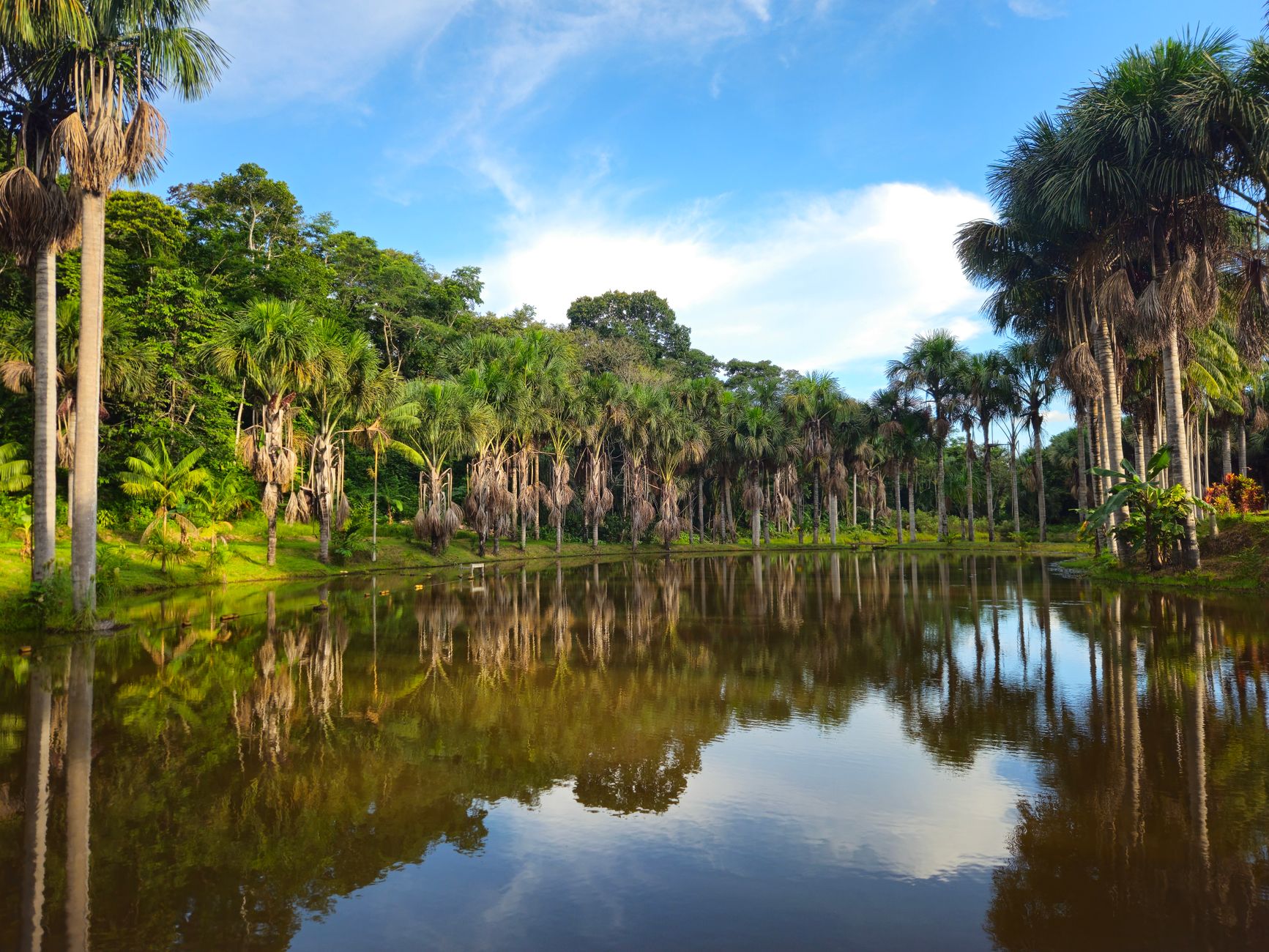
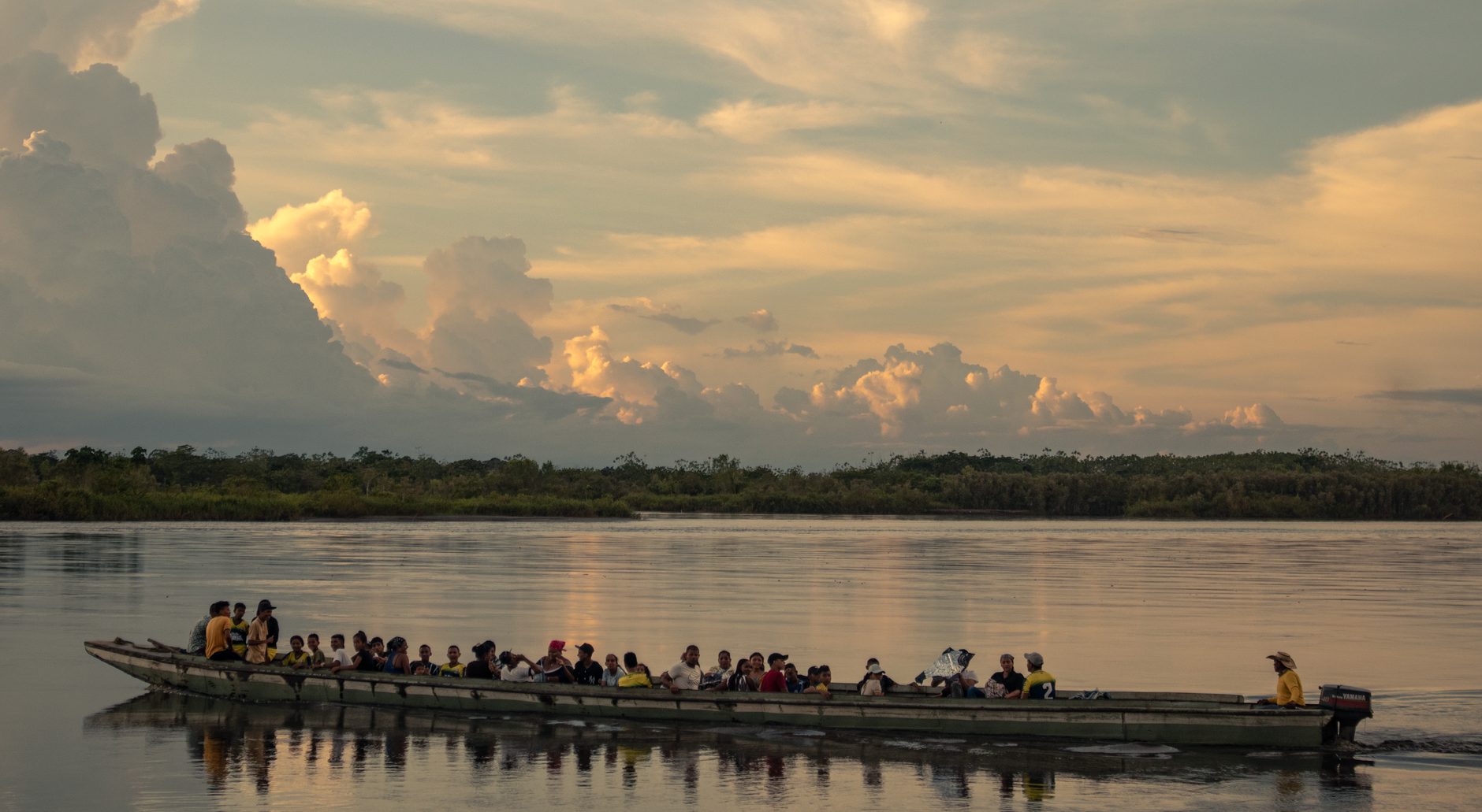
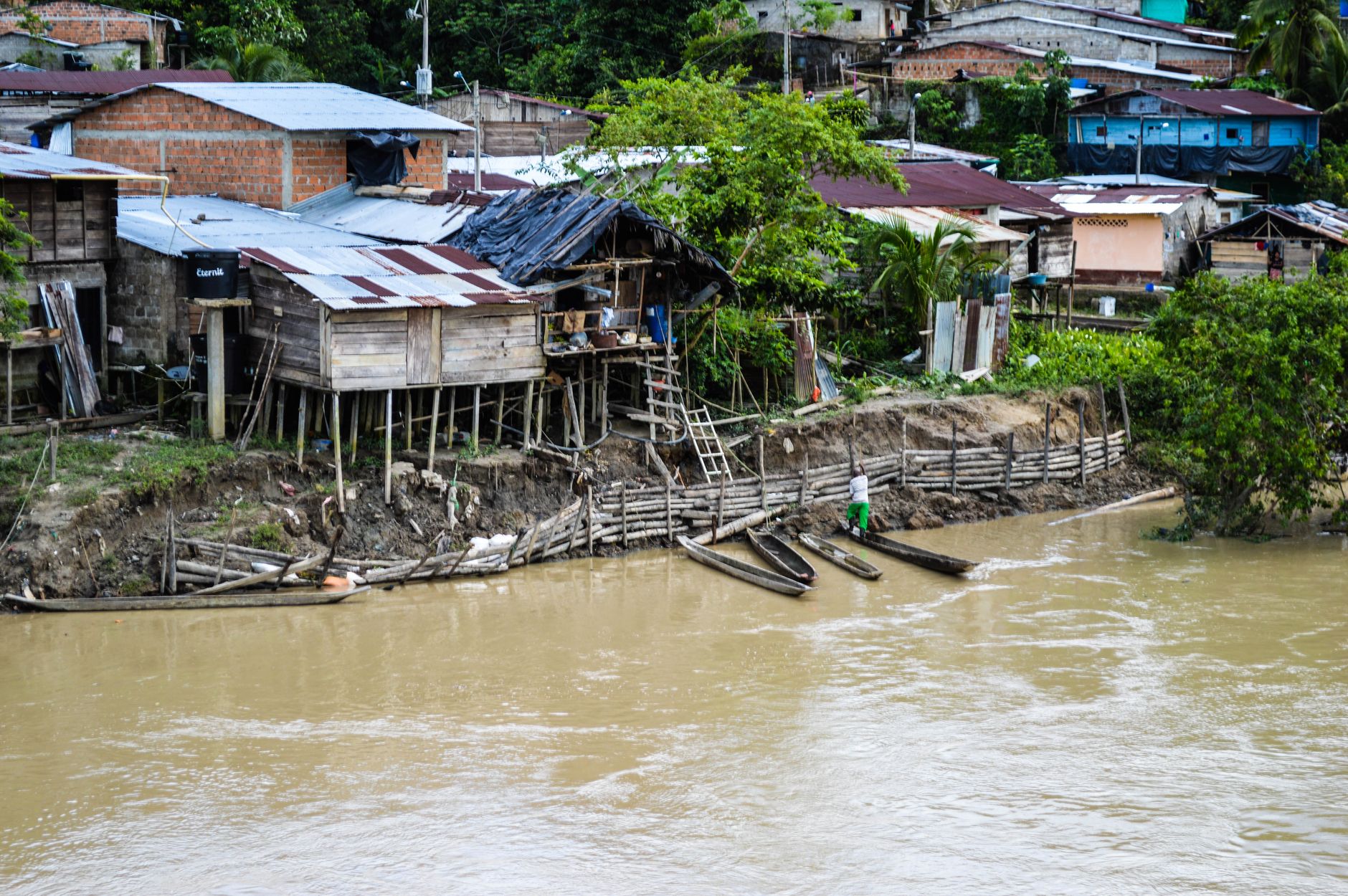
Puerto Maldonado sits at the meeting of the Tambopata and Madre de Dios rivers, a river-port city where the jungle presses close enough that macaws cross the sky above the Plaza de Armas. It is the capital of Peru's Madre de Dios department and the practical gateway to Tambopata National Reserve — one of the most biodiverse protected areas on earth.
The city itself rewards a day or two of slow attention: climb the 13-story Mirador de la Biodiversidad for a panorama of unbroken canopy, cross the 722-metre Continental Bridge on foot at dusk, or follow a motorboat downriver to Lago Sandoval, where giant river otters have been spotted from the reed-fringed banks. The Amazon here is working, not curated.
💛 What travellers fall for
People who return tend to say the same things: go to Lago Sandoval on the first morning before the tour groups arrive, and book your guide through the SERNANP office in town rather than at the lodge — it's cheaper and the guides are just as good. The mototaxis are fine for short hops, but rent a motorbike if you plan to range further.
Deals in Puerto Maldonado
Book directly at the provider

How Puerto Maldonado came to be
The city takes its name from Faustino Maldonado, an explorer from Tarapoto who mapped the Madre de Dios River in 1861 and drowned in the rapids of the Mamoré. The site itself was identified as strategically valuable by the rubber baron Carlos Fermín Fitzcarrald — who died in 1897 when his ship sank at the very confluence where the city now stands. Five years later, on 10 July 1902, Don Juan Villalta formally founded Puerto Maldonado as a station at that same junction, arriving overland from Sandia along the Tambopata.
The Department of Madre de Dios was created by law on 26 December 1912, with Puerto Maldonado as its capital. The city was not formally recognised as such until 1985 — a reminder of how recently this corner of Peru was considered frontier rather than foundation.
Who and what shaped it
People who shaped it
Landmark buildings
See Puerto Maldonado in motion
Plan your visit
On the map
When to go
The rainy season runs October through April, when rivers rise and trails turn to mud but the jungle is at its most alive. June through August is drier and cooler — the more comfortable window for walking, though you should still pack a light rain layer whatever month you arrive.
Right now
Background & history adapted from Wikipedia (CC BY-SA) · specs from Wikidata (CC0) · weather from Open-Meteo · map data © OpenStreetMap contributors · photos from Wikimedia Commons / Unsplash with per-image credit. No third-party reviews or social posts reproduced.