




★★★★★
Legal
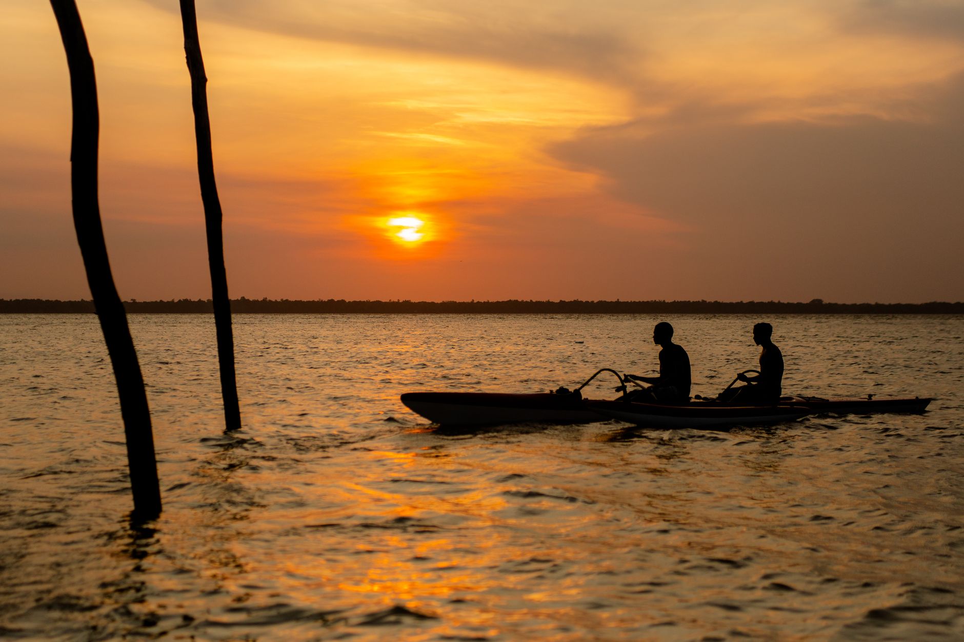
Altamira sits on the Xingu River at the point where the Brazilian Highlands give way to the Amazonian lowlands, and the scale of the place takes a moment to register. The municipality covers over 159,000 square kilometres — larger than Greece — yet fewer than 120,000 people live here, most of them gathered along the riverfront while hundreds of indigenous communities occupy the vast interior. The Cais de Altamira, a revitalized waterfront promenade, is where the city's rhythm makes itself legible: kiosks, river light, the smell of fried fish, and the Xingu moving wide and brown beyond.
Downstream, the Volta Grande do Xingu — the Big Bend — bends the river through rapids and exposed rock formations that shelter fish found nowhere else on earth. The market downtown trades in cupuaçu, bacuri, tucupi, and medicinal oils whose names you won't recognize until you've asked twice. Altamira rewards that kind of asking.
People who come back tend to time it for the dry season and go straight to the market before anything else — the fish stalls at dawn, before the heat sets in. Fried fish with savory açaí and manioc flour, eaten standing up, is the meal that orients you. After that, the river makes more sense.
A Jesuit priest named Roque de Hunderfund founded a mission called Tavaquara here in 1750, choosing the Xingu for its strategic reach into indigenous territory. The mission's purpose was dual: catechization and the consolidation of Portuguese presence in a region that resisted both. When the Marquês de Pombal expelled the Jesuits from Brazil's missions in the mid-18th century, Tavaquara's particular chapter closed.
The settlement persisted, slowly. In 1874 it was elevated to village status; in 1883 it was renamed Altamira under the influence of Colonel Francisco Gayoso. Full municipal independence came in 1911. As late as 1943 it was described as a few dozen houses in thick forest. The opening of the Trans-Amazonian Highway in 1972 ended that isolation, and the construction of the Belo Monte Dam — now the third-largest hydroelectric facility in the world by capacity — reshaped the city again, drawing workers and displacement in roughly equal measure.
Altamira runs hot year-round, with temperatures rarely straying outside 21–33°C. The rainy season runs December through May, peaking in March with torrential downpours; June through August brings drier air and slightly cooler days, making it the most comfortable window to be outdoors or on the river.
Legal
Top
Show...
Show
Show
Background & history adapted from Wikipedia (CC BY-SA) · specs from Wikidata (CC0) · weather from Open-Meteo · map data © OpenStreetMap contributors · photos from Wikimedia Commons / Unsplash with per-image credit. No third-party reviews or social posts reproduced.
We started Yeppa because finding real travel inspiration felt harder than it should be. The site is young and we're a small team, so we genuinely need the help of early visitors like you: if anything looks broken, odd or just plain wrong, we'd love to hear about it.
Tell us what you ran into: a broken link, a wrong photo, anything odd. We read every message.
Your note is on its way to us. It makes Yeppa better for everyone.
Subscribe to the newsletter and get travel deals & inspiration for trips that start near you.
Check your inbox and confirm your subscription. From then on we'll send you travel deals & inspiration.