
Porto Velho
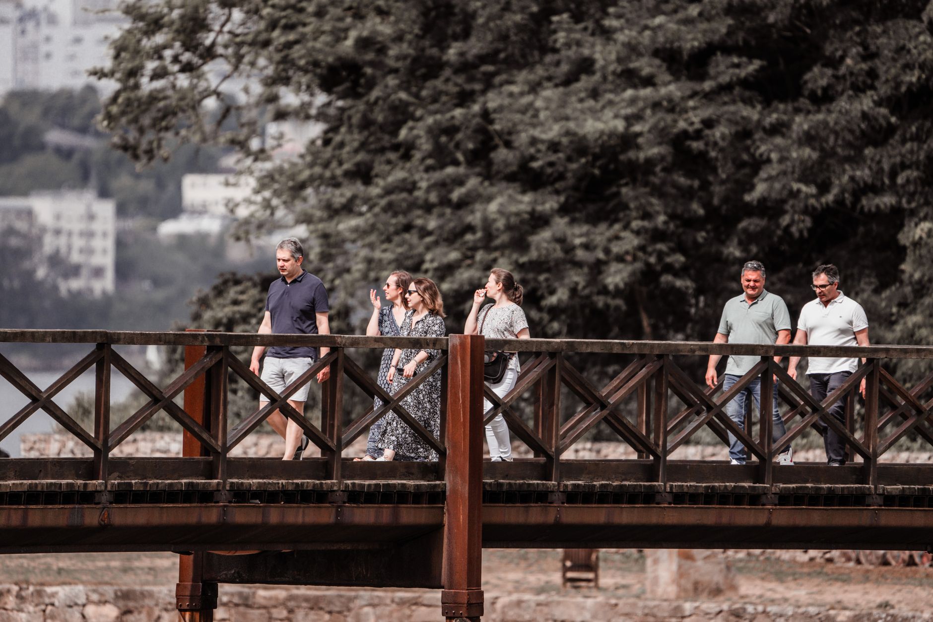
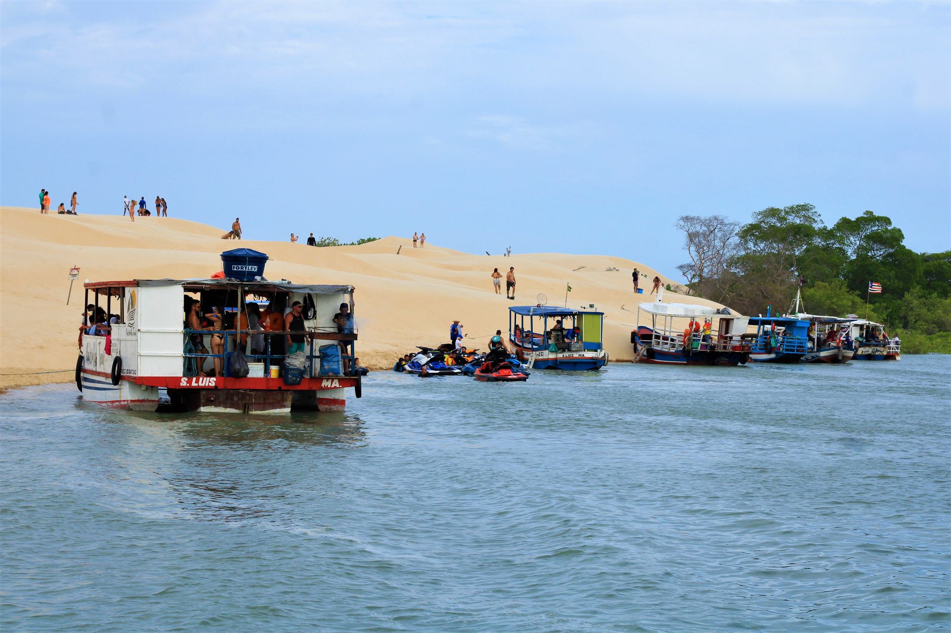
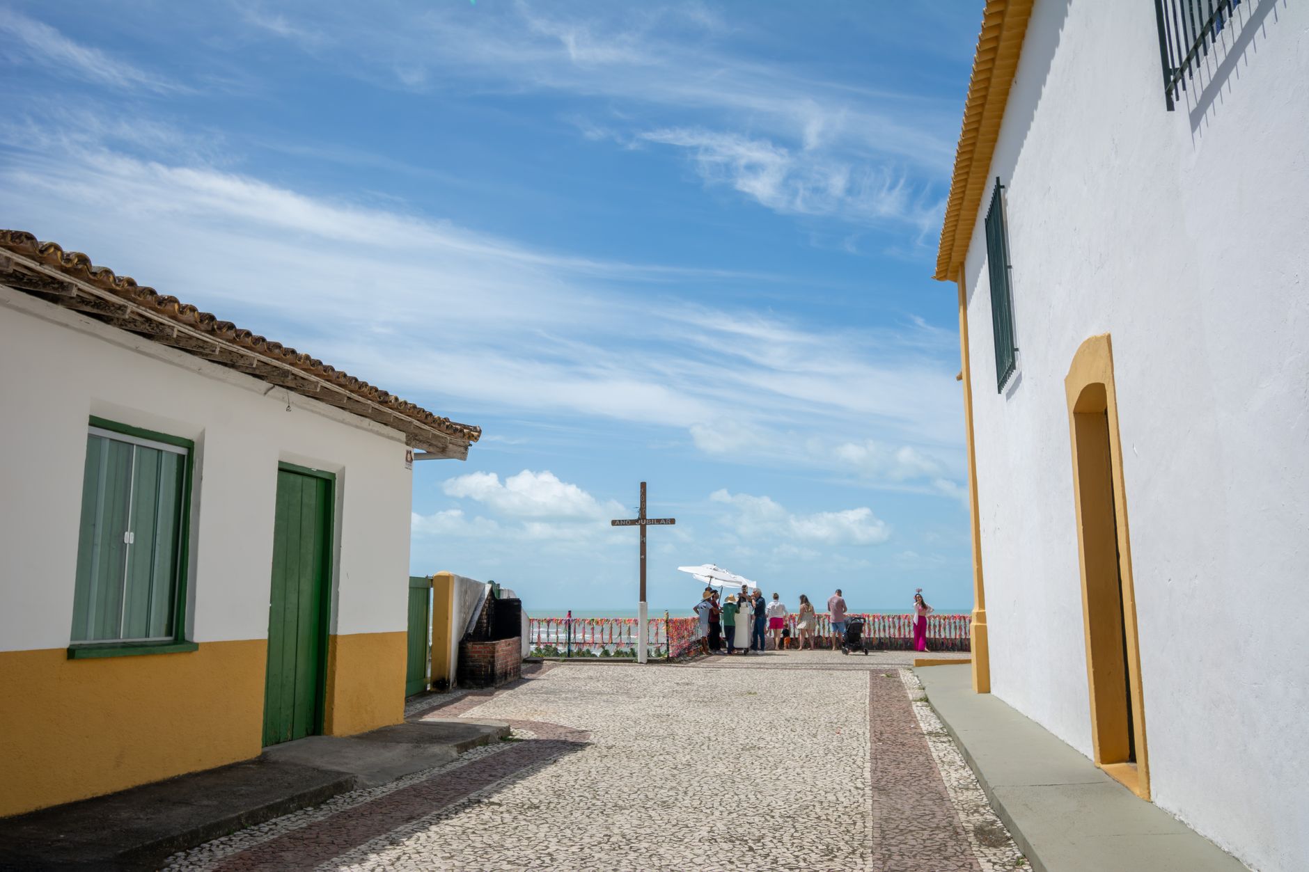

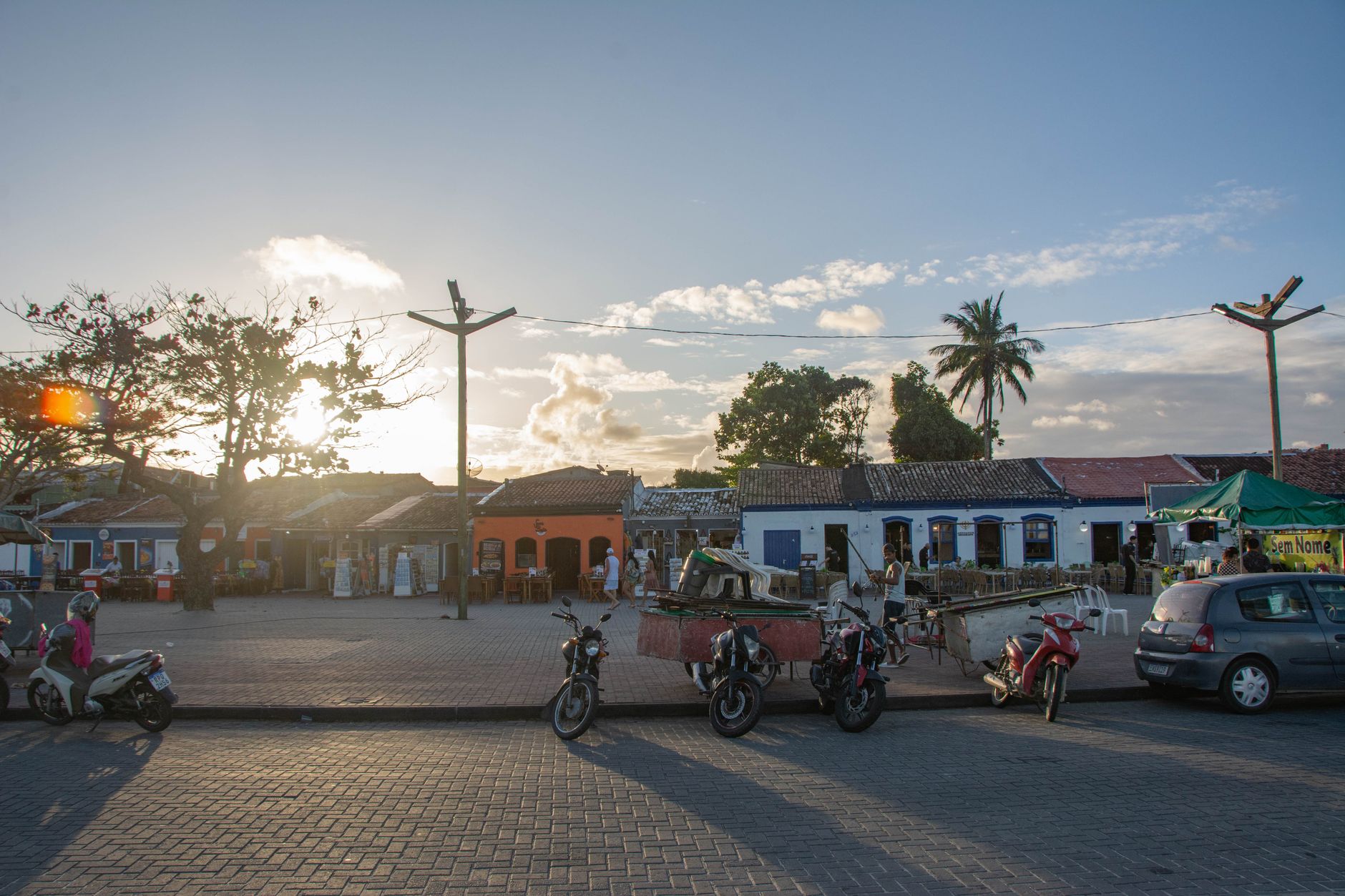
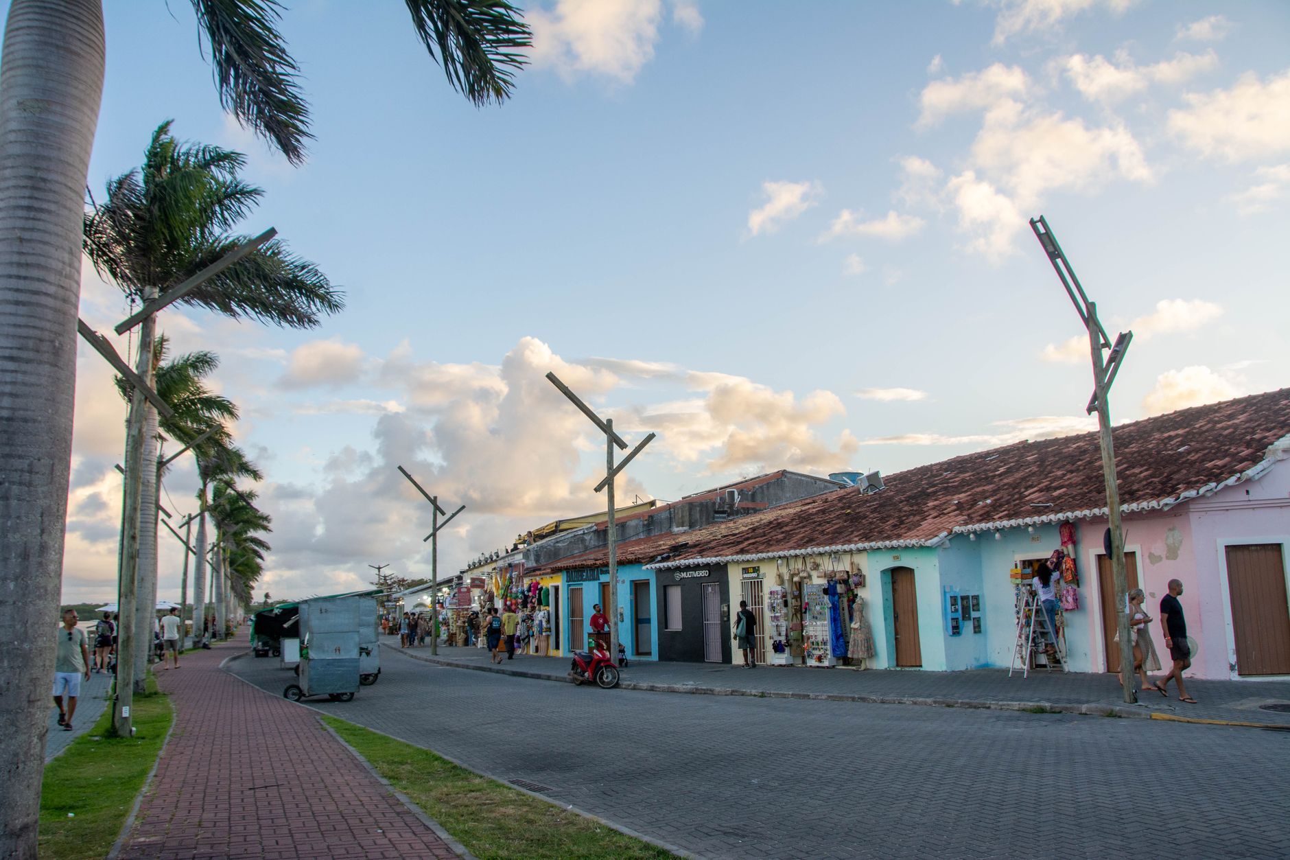
Porto Velho exists because of a railway that no longer runs. The city grew up around the Madeira-Mamoré line — laid between 1907 and 1912 through jungle and disease to move Bolivian rubber around a stretch of impassable rapids — and that origin still shapes what you find here: a river town at the edge of the Amazon with a quietly layered past, a Sunday market that opens before dawn, and a promenade where people watch the Madeira River change colour at dusk.
The city covers more territory than Belgium, which says something about the scale of emptiness around it. Most of Porto Velho's life concentrates close to the waterfront and the old centre, where three steel water tanks from 1910 still stand in a square named after them.
💛 What travellers fall for
People who come back tend to anchor their Sundays around the Feira Cai na Água — at the market by 05:30, before the heat settles in, for a cup of tacacá and whatever açaí looks right. Then the Beira Rio walk along Avenida 7 de Setembro for the evening, when the Madeira goes gold.
Deals in Porto Velho
Book directly at the provider


How Porto Velho came to be
The site was a workers' camp in 1907, then a city on October 2, 1914 — official founding date tied directly to the Madeira-Mamoré Railway, which Brazil built as part of its agreement to absorb the state of Acre from Bolivia. The line bypassed seventeen rapids so that rubber could reach Atlantic ports. Workers arrived from across Brazil and the Caribbean, Barbadians among them, giving the city an early multicultural character it has never entirely shed.
The railway closed commercially in 1972, and the economy sagged. By then Porto Velho had already changed shape twice over: made capital of the Federal Territory of Guaporé in 1943, renamed Rondônia in 1956, and quietly transformed again in the late 1950s when cassiterite and gold were found along the Madeira — drawing a different kind of rush to the same river.
Who and what shaped it
Landmark buildings
See Porto Velho in motion
Plan your visit
On the map
When to go
The dry season runs June through August, when temperatures sit around 25–26°C and rain is scarce — the only time the city feels genuinely walkable for extended stretches. From November to April expect around 200 mm of rain per month; the heat stays, but the streets don't.
Right now
Background & history adapted from Wikipedia (CC BY-SA) · specs from Wikidata (CC0) · weather from Open-Meteo · map data © OpenStreetMap contributors · photos from Wikimedia Commons / Unsplash with per-image credit. No third-party reviews or social posts reproduced.