
Nouvelle-Aquitaine
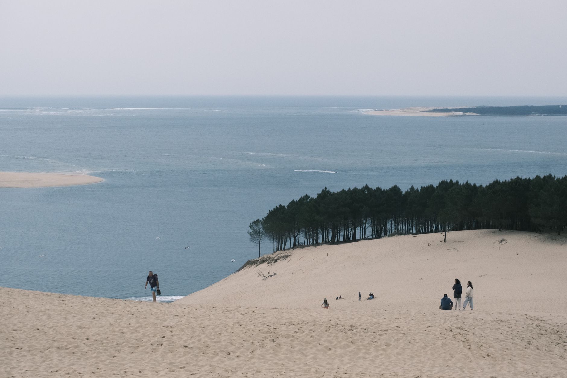
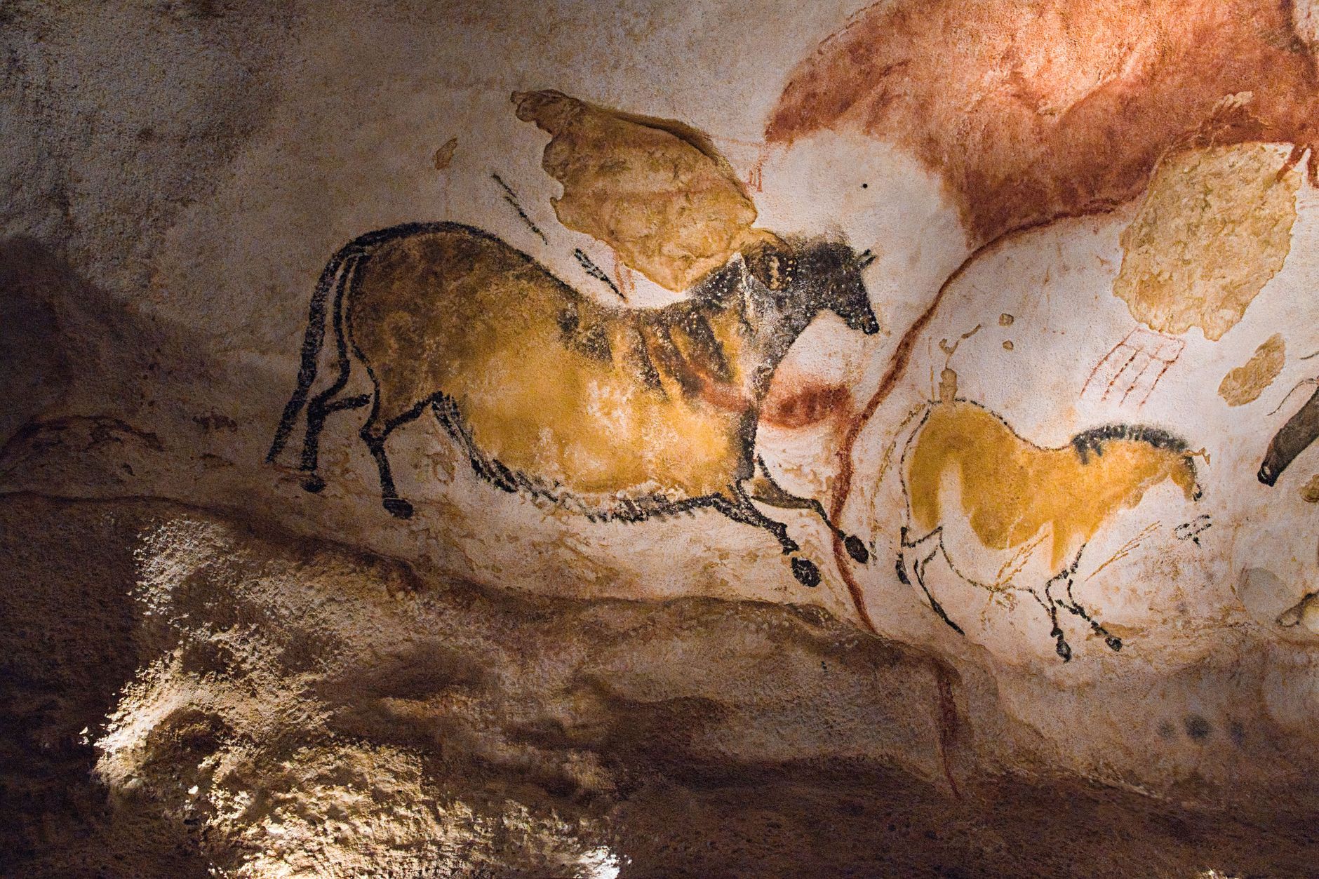
France's largest administrative region runs from the Atlantic dunes above Arcachon all the way down to the Pyrenees, and it holds more prehistoric cave art, more Romanesque churches, and more classified Bordeaux architecture than most countries manage in their entirety. The Dune du Pilat — 102 metres of sand above the pine forest, 2.9 kilometres long — gives you a sense of the scale: this is a place that does things at an outsized pitch.
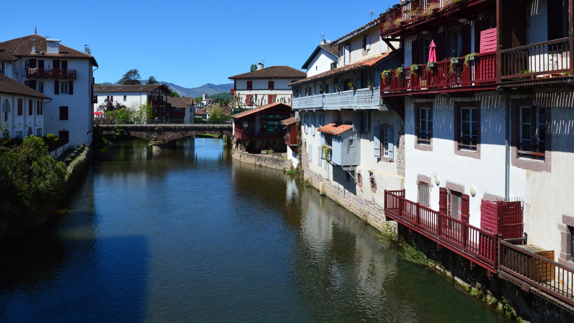
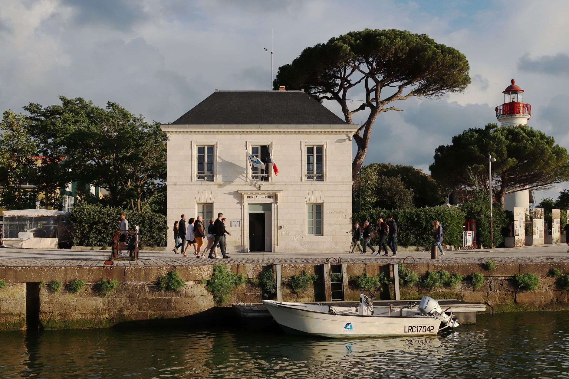
Within that scale, the textures are surprisingly intimate. Palms grow against limestone cliffs at La Roque-Gageac. Angoulême's old squares are framed by white stone and pink tile. La Rochelle's twelfth-century towers still stand around the harbour. You move between Atlantic coast, river valleys, plateau, and mountain without the landscape ever feeling like a single argument.
Experiences you don't want to miss


How Nouvelle-Aquitaine came to be
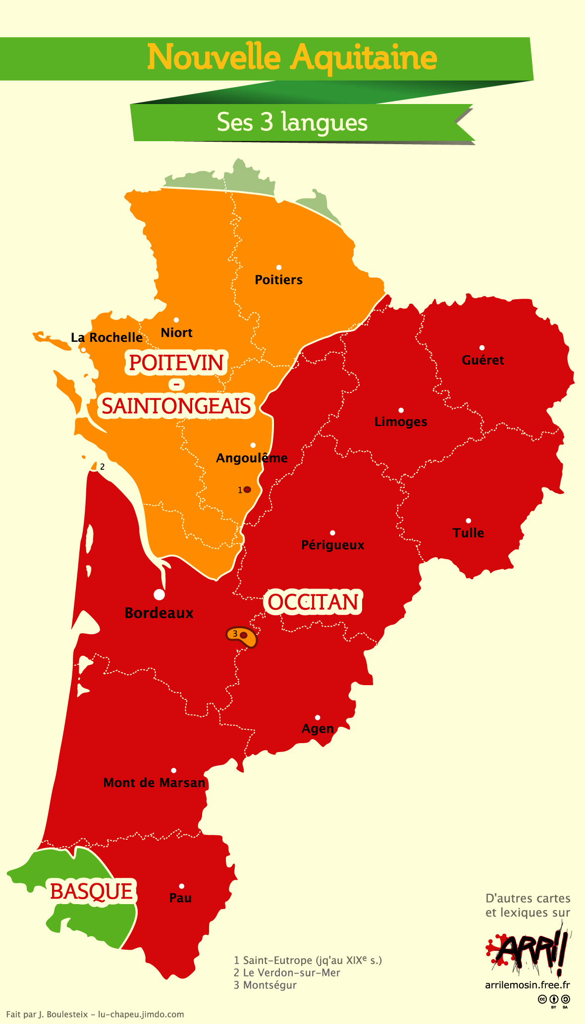
The region as it exists today is recent: Nouvelle-Aquitaine was formally created on 1 January 2016, when France reduced its metropolitan regions from 21 to 13 under a plan backed by President François Hollande. It merged the former regions of Aquitaine, Limousin, and Poitou-Charentes. The working name — Aquitaine-Limousin-Poitou-Charentes — was a mouthful, and historian Anne-Marie Cocula led the working group that proposed the current name in June 2016. The Conseil d'État confirmed it in September that year.
The name reaches back much further, of course. This land was the heart of the medieval Duchy of Aquitaine, whose most famous ruler, Eleanor of Aquitaine, married Louis VII of France in 1137 and Henry II of England in 1154. The region remained under English control until 1453, when the Hundred Years' War finally ended at Castillon — a fact that still surfaces in the local architecture, the wine trade, and the occasional pub.
Who and what shaped it
People who shaped it
Landmark buildings
See Nouvelle-Aquitaine in motion
Plan your visit
On the map
When to go
The coast and lowlands run on an oceanic rhythm — mild, damp winters averaging around 6°C, and summers that reach 28–30°C with afternoon breezes off the Atlantic keeping things liveable. The Limousin plateau is cooler and more continental, while the Pyrenees operate on their own altitude-dependent terms entirely.
Right now
↡ Cities

No places match these filters.
Background & history adapted from Wikipedia (CC BY-SA) · specs from Wikidata (CC0) · weather from Open-Meteo · map data © OpenStreetMap contributors · photos from Wikimedia Commons / Unsplash with per-image credit. No third-party reviews or social posts reproduced.