
Burgundy (Bourgogne)
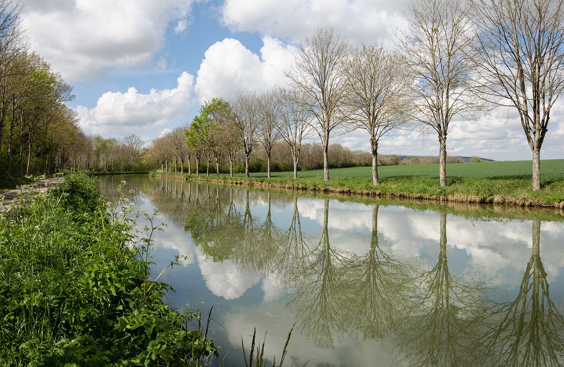
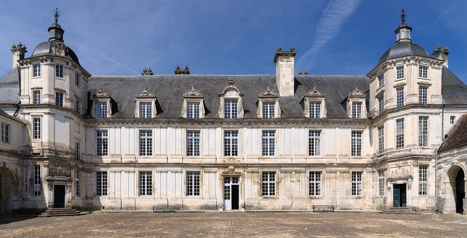


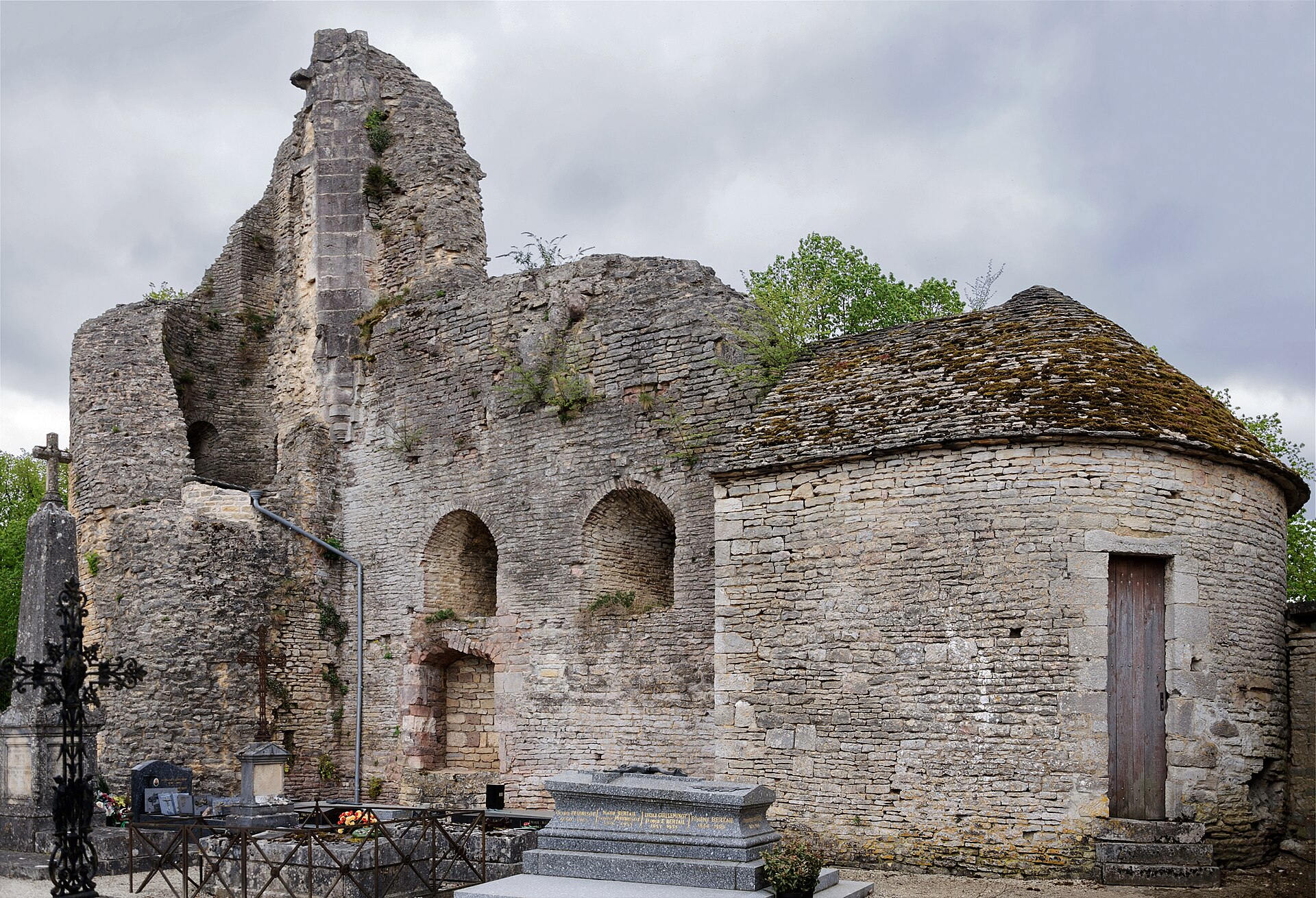
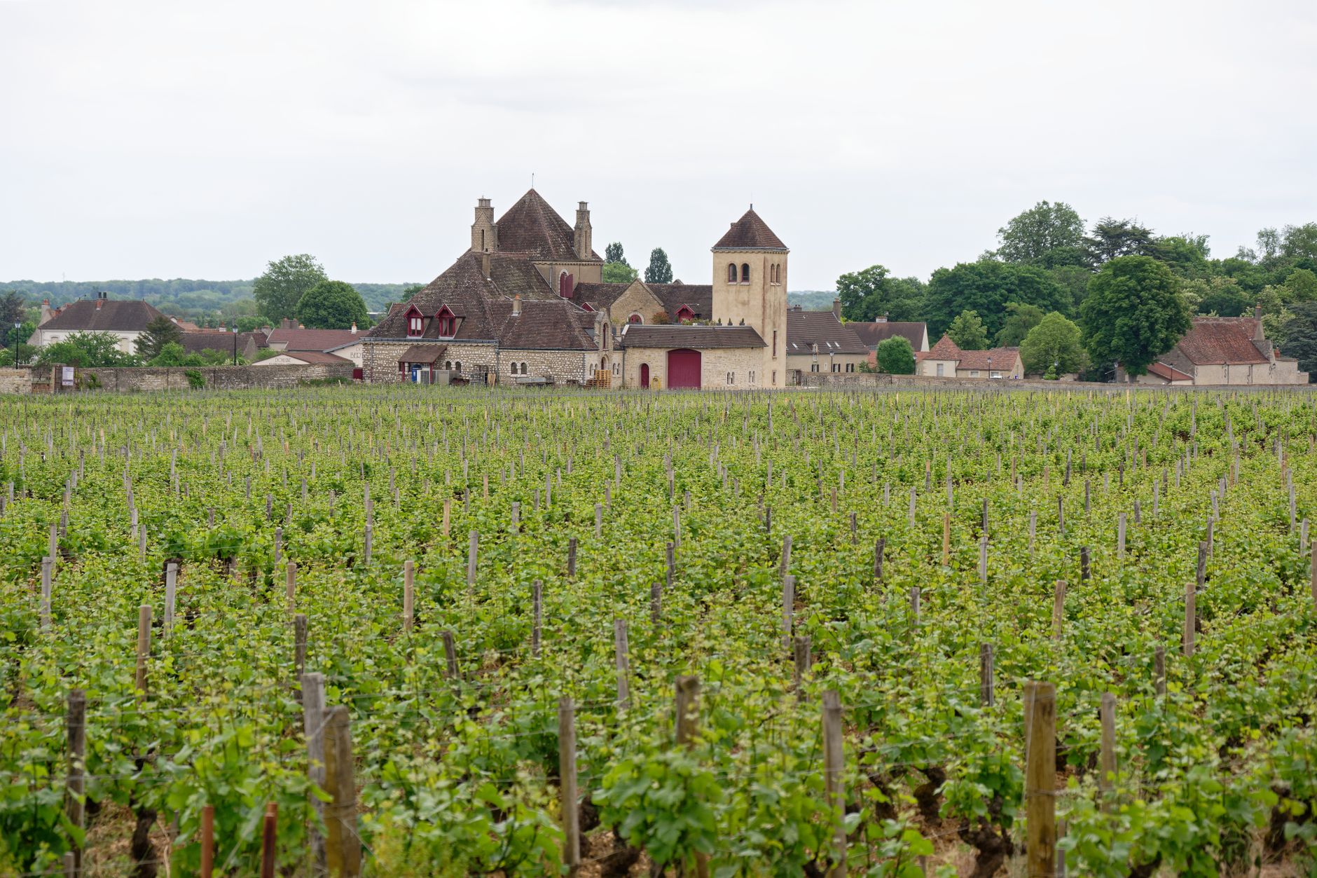
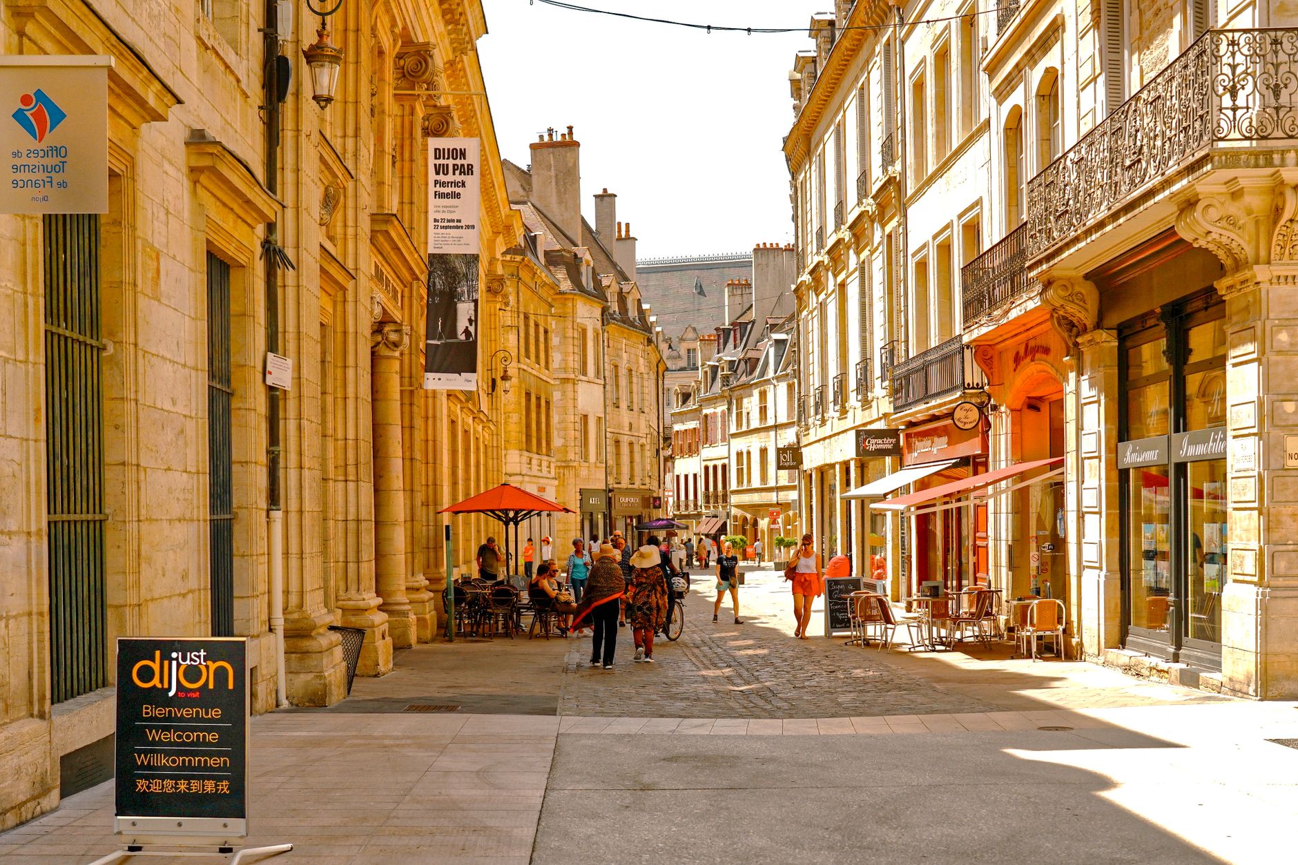
Burgundy earns its reputation one glass at a time, but the wine is only the beginning. The region stretches south from Dijon through a landscape of limestone escarpments, abbey ruins and medieval market towns, each carrying layers of history that go back well before the first vine was planted. Roman amphitheatres still stand in Autun. Twelfth-century mosaics survive in a riverside abbey at Tournus. The polychrome rooftop of the Hospices de Beaune — arguably the most photographed roof in France — dates to 1443.
This is a region that rewards slowness. The distances between places are manageable, the countryside is genuinely quiet, and the food and wine culture is woven into daily life rather than performed for visitors.
Popular cities in Burgundy (Bourgogne)
Experiences you don't want to miss

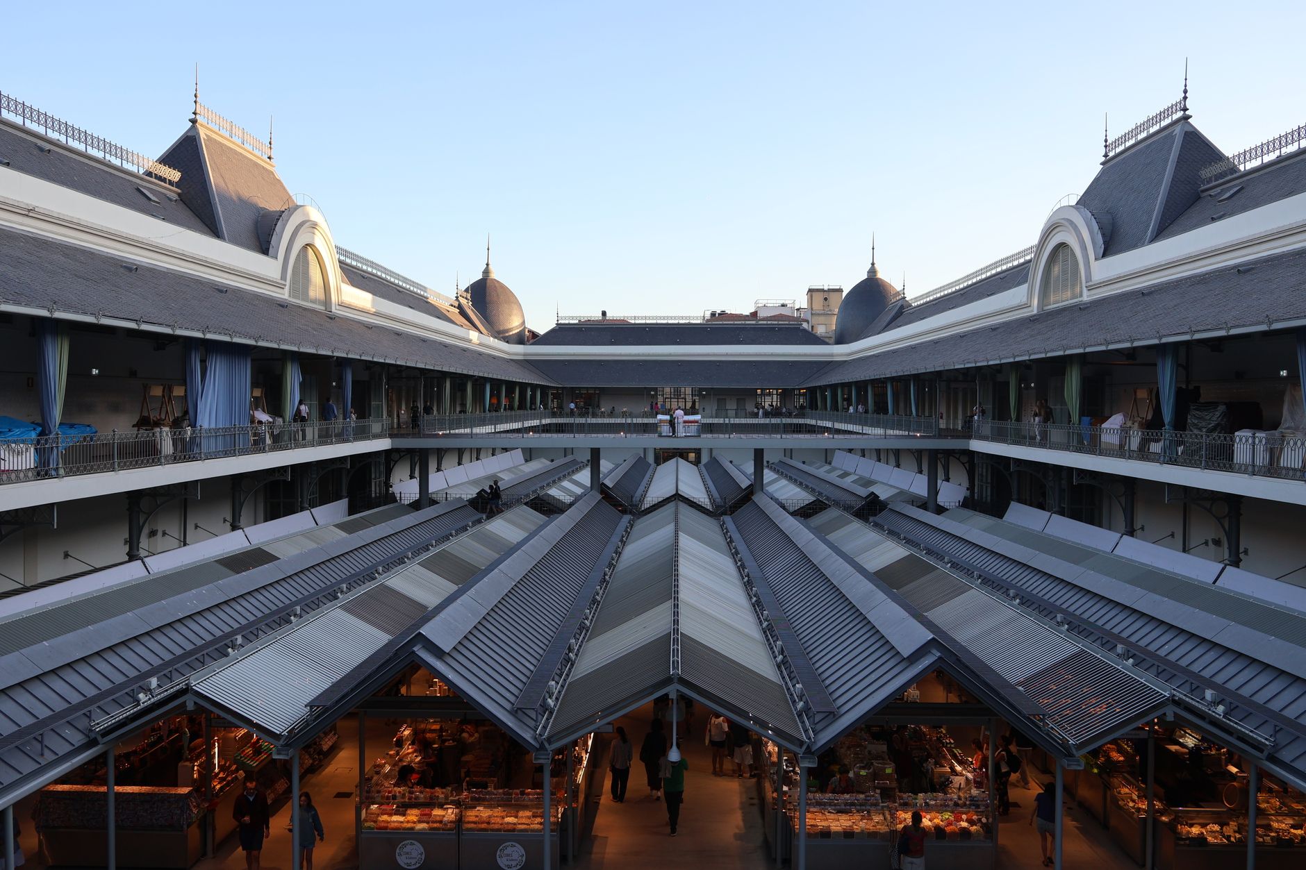


How Burgundy (Bourgogne) came to be
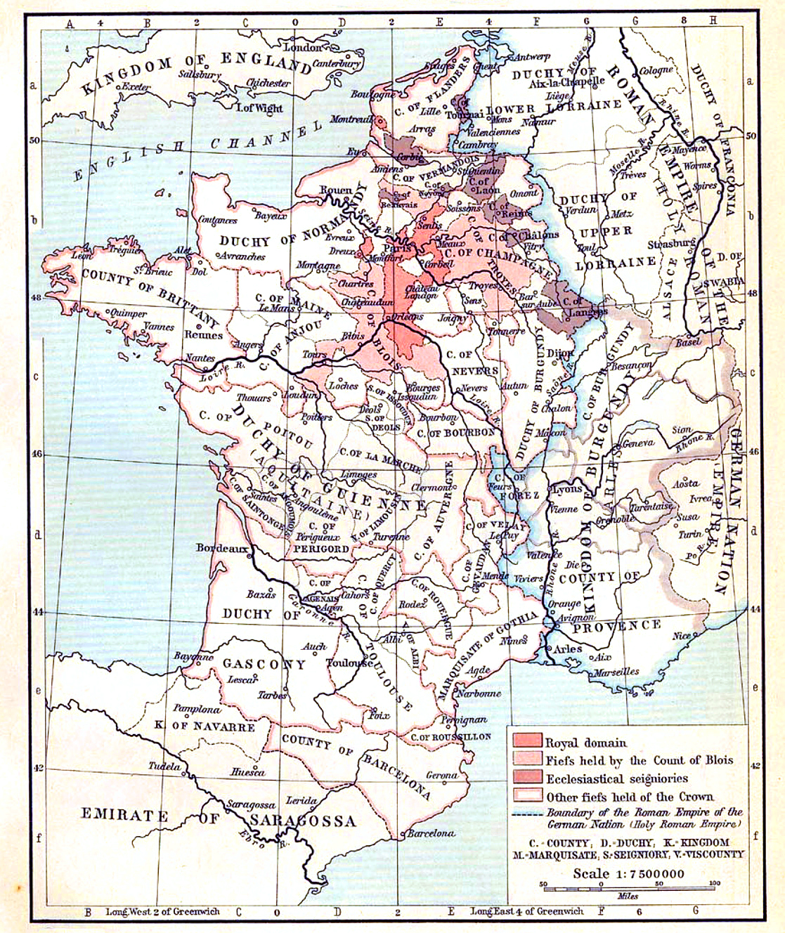
The region takes its name from the Burgundians, a Germanic people — possibly originating in what is now Denmark — who moved into the collapsing Western Roman Empire and established a kingdom before the Franks absorbed it in 534. The Treaty of Verdun in 843 reorganised the territory, and by the early 10th century the Duchy of Burgundy had taken shape under the French crown.
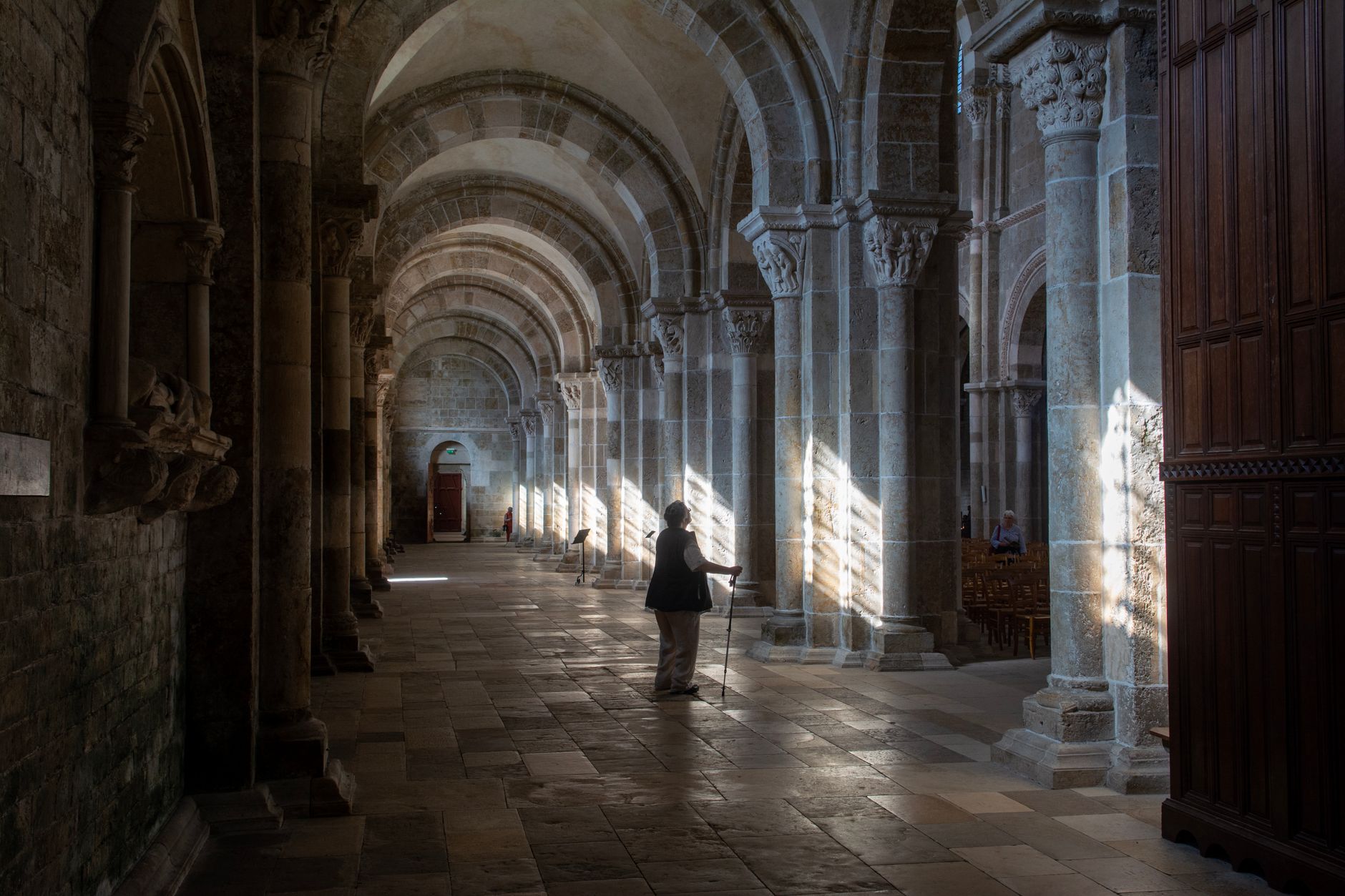
For two centuries, Cluny — founded in 910 — was one of the most powerful religious institutions in Europe. The first Cistercian abbey followed in 1098 at Cîteaux, with Bernard of Clairvaux later driving the order's expansion across the continent. By the 15th century, under Philip III (reigned 1419–67), the duchy had grown into a rival power to France itself, before being annexed by the French throne in 1477.
Who and what shaped it
People who shaped it
Landmark buildings
See Burgundy (Bourgogne) in motion
Plan your visit
On the map
When to go
Burgundy has a continental climate: warm, dry summers that suit long days on the road, and cold winters with occasional snow, particularly in higher areas. Spring brings mild temperatures and green hillsides; autumn, when the vines turn, is arguably the most atmospheric time to visit.
Right now
↡ Cities
No places match these filters.
Background & history adapted from Wikipedia (CC BY-SA) · specs from Wikidata (CC0) · weather from Open-Meteo · map data © OpenStreetMap contributors · photos from Wikimedia Commons / Unsplash with per-image credit. No third-party reviews or social posts reproduced.